Mount Sneffels
September 3, 2026
4314m
Ouray, CO
Mt. Sneffels in the San Juans is one of the most recognizable 14ers in the state of Colorado so when Matt Lemke made the recommendation I was instantly sold on the idea. I have to admit that I didn’t know much about this part of the state as my only previous visit to Colorado was in the Sawatch (Mt. Elbert) and the Front Range (Pikes Peak). Matt recommended the SW Ridge of Mt. Sneffels and I did do some brief research. Either the SW Ridge or the “standard route” would be no worse than “class 3” so fine, if the SW Ridge has a higher scrambling quality then I might as well take it. Frankly speaking the route didn’t sound that spectacular to me but this peak boasts over 900 m prominence. I had budgeted a few days in Colorado to some peakbagging before meeting up with Clair, and I was prioritizing objectives that could hit both the boxes of being a 14er and boasting at least 600 m prominence
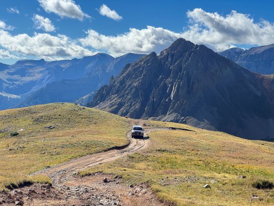
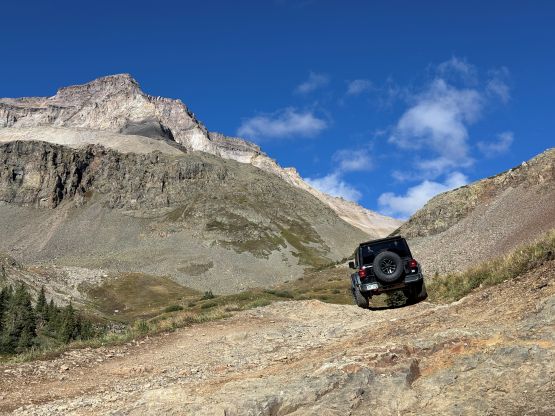
The bonus of using Mt. Sneffels in the San Juans to reintroduce myself to Colorado is the relatively short drive from my previous objective, Mt. Peale in the state of Utah. The nearby Uncompahgre Peak could also work but I disliked the added walking distance to do its standard approach without having a Jeep Wrangler nor equivalent. Having a Jeep could also significantly shorten the walking distance on Mt. Sneffels but this objective can be considered “short” no matter what. I spent at least half an hour reading numerous trip reports and decided that I should try to get to the “Outhouse Parking” which is the standard trail-head for the Subarus. This rental AWD lacked the power and didn’t have the X Mode equivalent, but I’m also a fairly skilled driver so maybe I would have a chance. Indeed, my prediction was mostly correct. On the steepest hill I was loosing traction but I did power it through, and there were a lot of rough stretches that required skills and courage. I would say this access is the maximum that a Nissan Rouge could do, but should be fairly straightforward for a Subaru Forester. The bonus of pushing to this parking lot was to sleep at 3450 m elevation which further added to the acclimatization process. Two vehicles with car-campers showed up within the next hour and a few more vehicles pulled in at around 5 or 6 am. The weather forecast was calling for zero chance of thunderstorms so that’s probably why nobody bothered with an alpine start. I was actually one of the earliest birds.
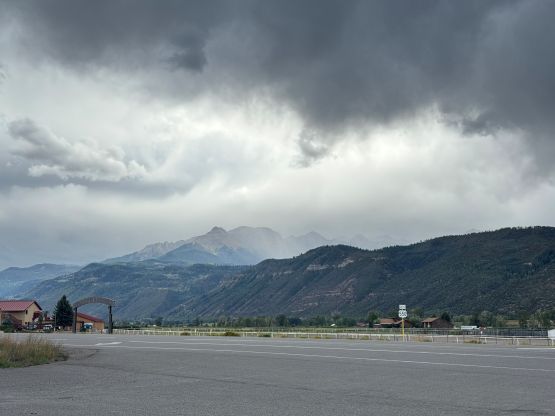
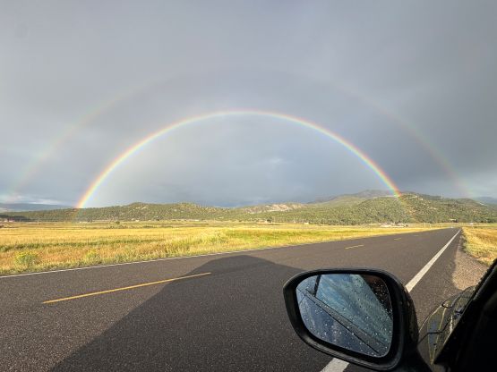
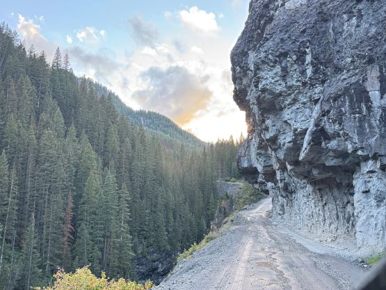
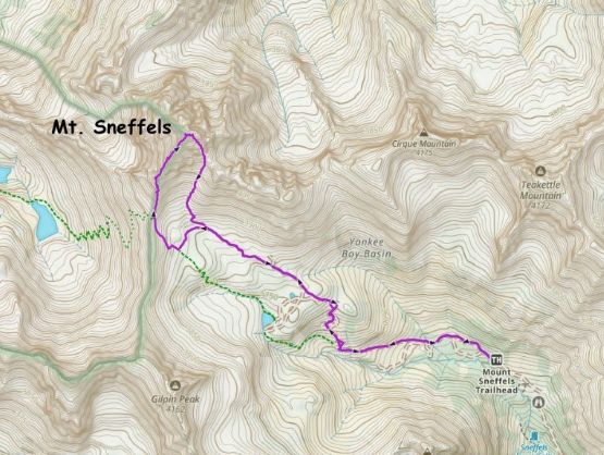
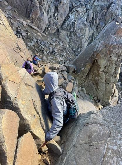
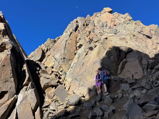
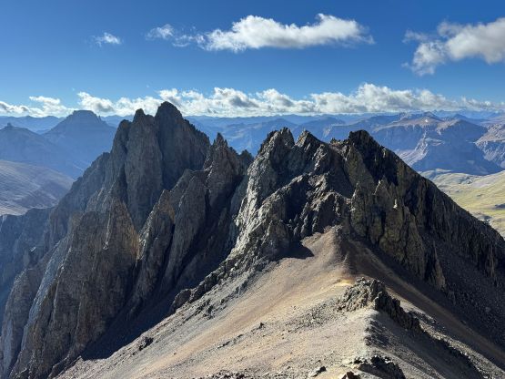
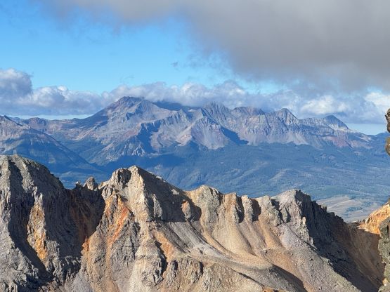
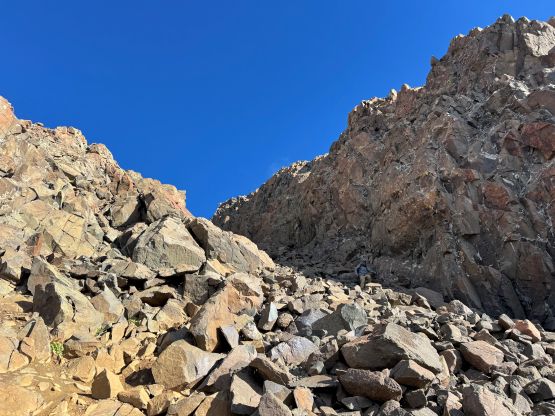
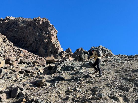
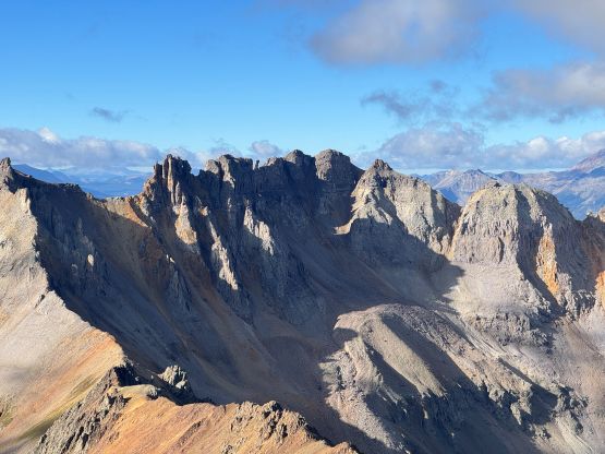
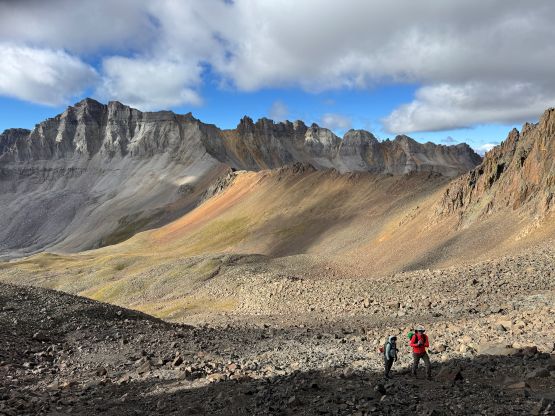
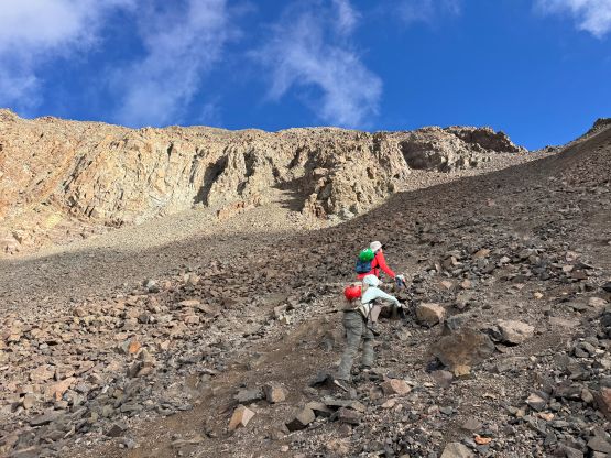
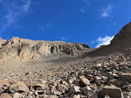
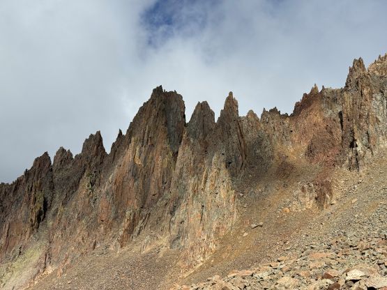
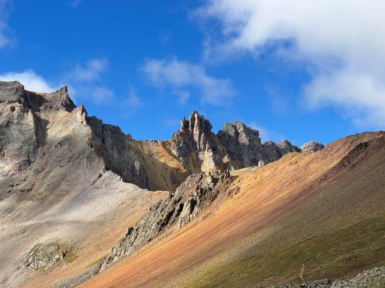
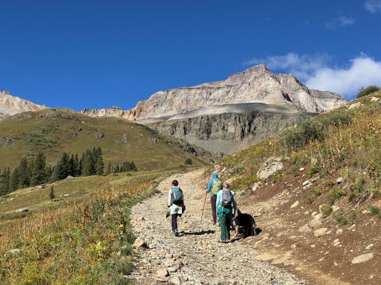
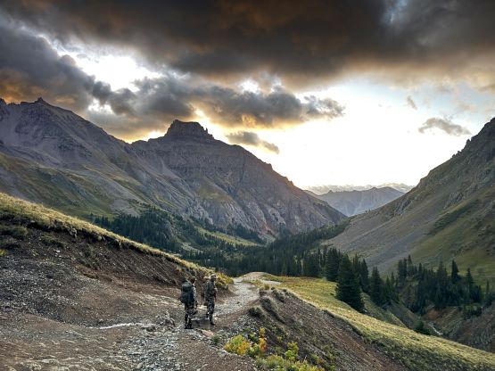
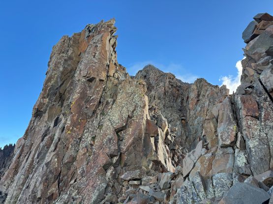
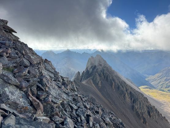
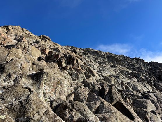
The road had some muddy sections but the scenery quickly opened up. While plodding up the switchbacks I took several short-cuts to minimize distance and then there came the absolute road’s end. To my surprise a solo hiker passed me and another group was approaching rather rapidly. That solo hiker headed towards Sneffels/Gilpin pass but was definitely not doing the SW Ridge so I assumed he was targeting on some obscured peaks. I later learnt that he was there to do some trail work as he discovered my post on Instagram. The morning was cold, windy and cloudy so once hitting the saddle at the start of Mt. Sneffels’ SW Ridge I had to don all the layers that I had brought including the gloves. I thought this was going to be a miserable ascent but since I had signed up for it I had to press on. The SW Ridge itself was not difficult but involved some route-finding as the route was not on the ridge crest for the most part. I had thankfully skimmed through the page on 14ers.com and was able to mostly picture-memorize the details. The rocks were very polished and the recent precipitation didn’t help, so parts of the route felt sketchier than “3rd class” to me. Higher up instead of sticking to the crest of the SW Ridge I traversed more over to the south face and joined the standard route near the summit. Another solo hiker showed up via the standard route and he later discovered my post as well.
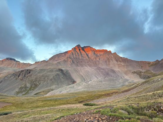
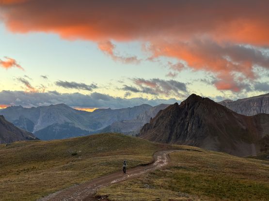
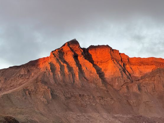
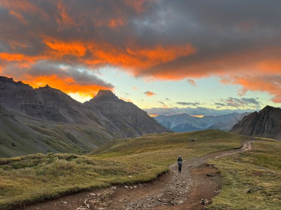
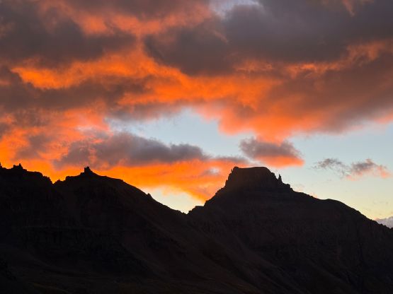
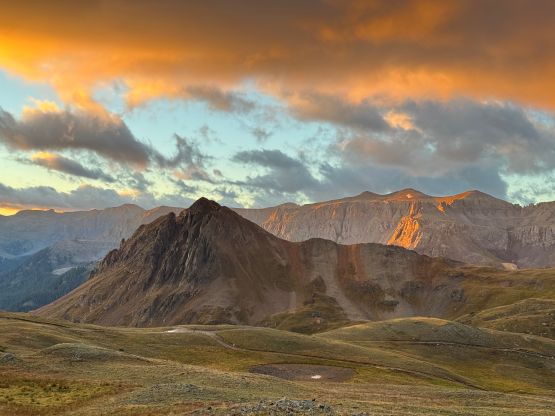
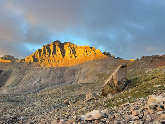
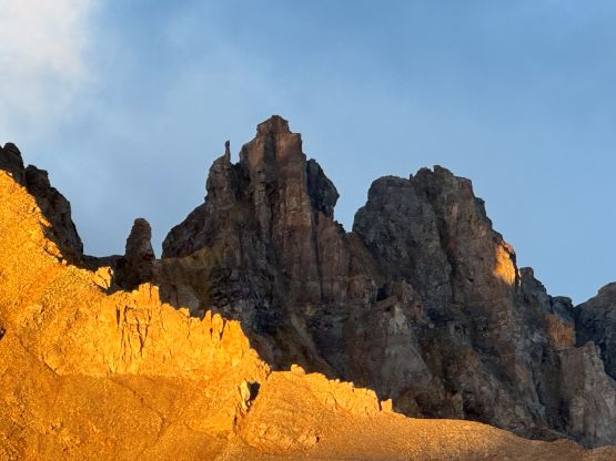
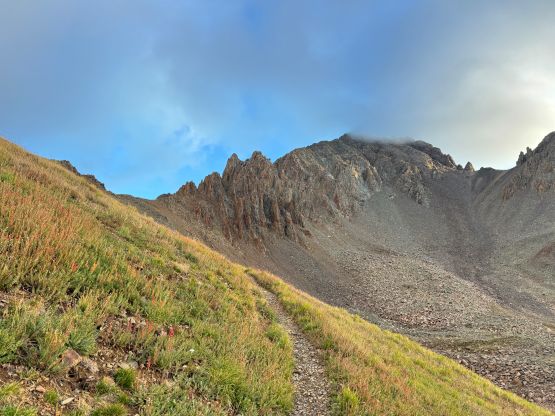
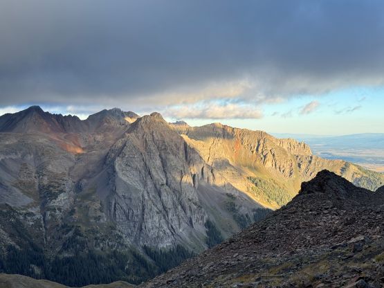
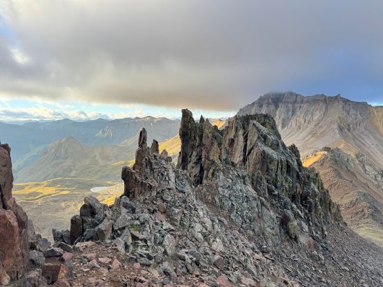
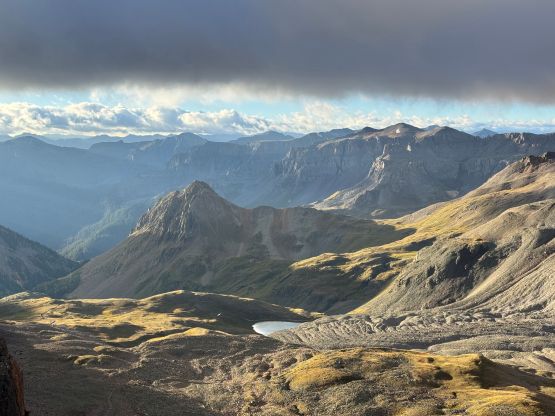
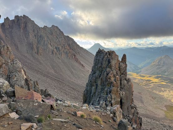
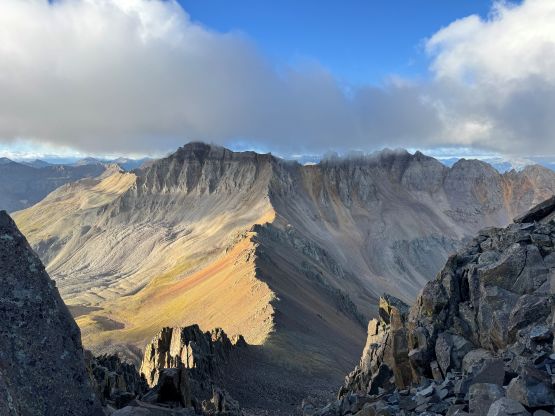
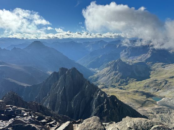
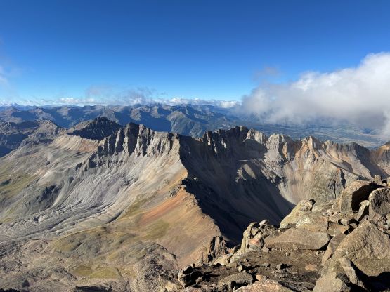
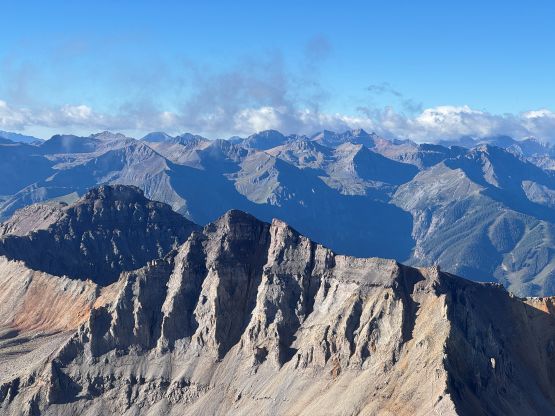
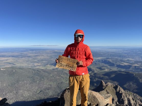
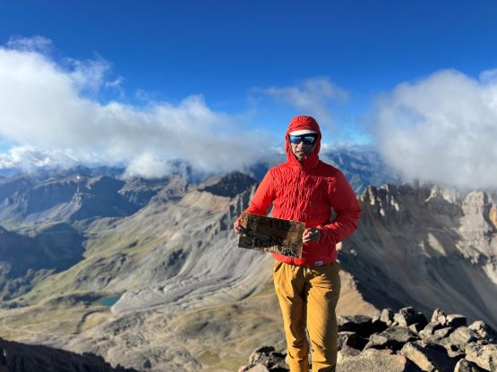
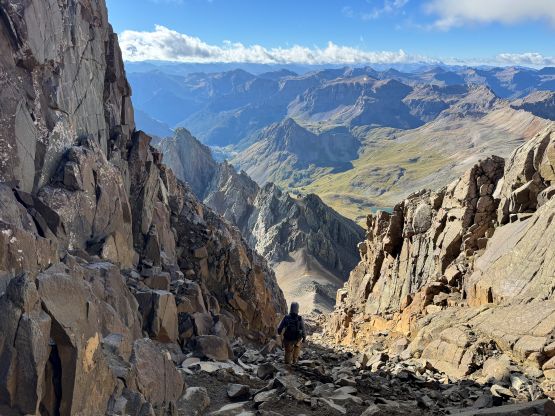
It seemed like the clouds were actually dissipating so I decided to take a long break on the summit, but the cold winds eventually forced both of us descending. I opted to follow from behind since he had just come up the standard route and to my surprise there was actually one difficult move to negotiate. Perhaps we did not find the easiest way but with the gloves on it felt like 4th class to me. We passed a pair of trail runners turning around at this spot which made sense considering they were only dressing in shorts. I was shivering in my autumn clothing system and I had no idea how they could even get this far up. The rest of the descent via this “standard route” was mostly as advertised, loose and tedious with some rockfall hazards. I wouldn’t complain about the loose factor since I was going downhill and the looseness actually helped saving the knees. In no time I was back at the trail and then easily jogged back to the parking lot in less than 4 hours round trip. I took my time cooking a ramen brunch and then drove back down into Ouray to get some cell reception. The plan for the following day was Mt. Harvard and Mt. Columbia but to my surprise I still had about 4 hours of driving afterwards. I thought I was already in Colorado but the state was much bigger than I thought.