Huckleberry Mountain (NE WA)
September 1, 2019
1775m
Chewelah / NE Washington, WA
Huckleberry Mtn. is not a unique name. I’ve seen at least four different, officially-named Huckleberry Mtns. in just the state of Washington, including one not even very far away. This particular Huckleberry Mtn. isn’t really an attractive summit but is considered “important” in peak-bagging community because of its topographical prominence. This peak is mostly forested and heavily logged, and despite the low elevation the prominence ranks #23 in the state of Washington. The ascent is nothing fancier than a typical drive-up in NE Washington but one does have to bushwhack a bit to reach the highest point. There are several bumps along the forested ridge with very similar height and the general consensus is to bag them all just to be sure…

Huckleberry Mtn. and Stensgar Mtn. drive-up and bushwhack. GPX DL
Adam and I were joined by James B. and his family on this particular ascent towards the end of this extended peak-bagging road trip. It seems like one can access this peak by at least two or three directions and the one we chose was the roads on NW flanks. We did next-to-zero research and the direction was given purely by Google Map app. It turned out that the road we picked was in a decent shape and we were able to drive high in a timely manner. This road goes all the way to the summit of Stensgar Mtn. nearby and we decided to bag that one too because it’s only 1 meter lower in elevation, but Huckleberry Mtn. first.

Stensgar Mtn. from the drive up
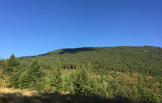
As much as the west slopes of Huckleberry Mtn. looks like…

James’ vehicle parked high up on Huckleberry Mtn.
We parked at the “SW Corner” of the upper mountain on an obvious pull-out, and ascended into open forest immediately. The bushwhacking was very much none-existent and in short time we made to what seemed like an abandoned logging road traversing northwards towards the direction we wanted. We followed this spur road to its end and bushwhacked a short ways to reach the long summit ridge. The true summit was supposed to be on the north side so we went that way, traversing up and over several (forested) bumps. It wasn’t obvious which of the high points was the highest so we tagged them all just to be sure, but the northernmost bump had the nicest views plus geological survey markers.
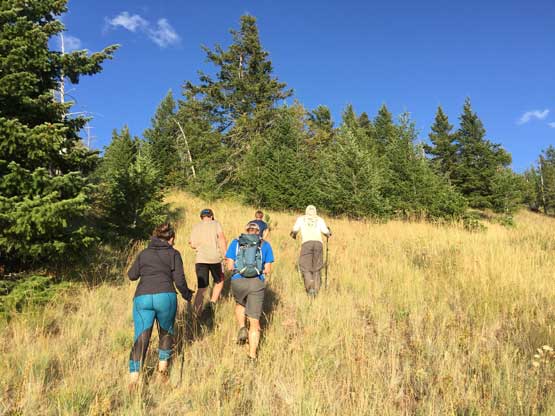
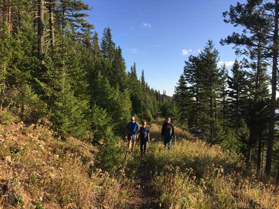
Adam and James’ family starting the off-trail hike

The typical terrain on Huckleberry Mtn.
Me picking a way up. Photo by Adam W.
We popped onto a higher but deactivated spur road
James’ family on the spur road
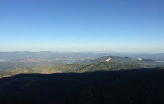
Our first open view from the summit ridge, towards east
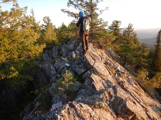
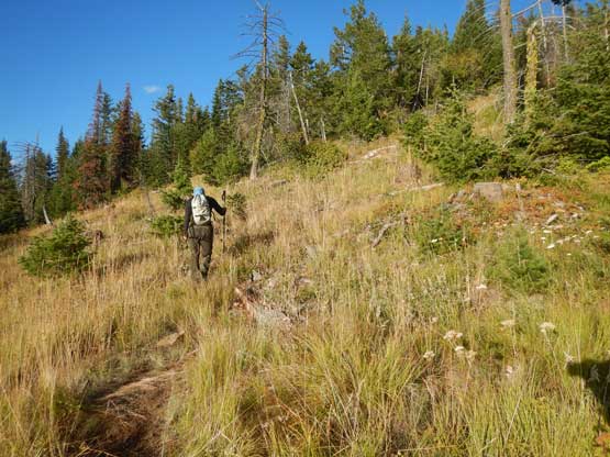
Me exploring the ridge towards the true summit. Photo by Adam W.
Adam found the new register on the summit of Huckleberry Mtn.

The register booklet…
Adam approaching the northernmost summit just to be sure
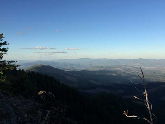
The northernmost summit has much better views

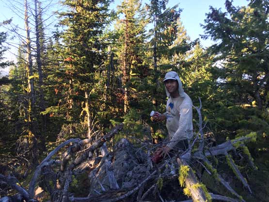
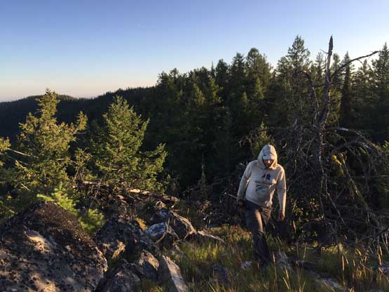
Me on the northernmost summit of Huckleberry Mtn.
On the way back we opted to explore the southern sub-summit that has the same contour line as the northern summits. This costed us extra time and the views were not as good. We then quickly bailed down the wooded flanks. It’s already sunset time and we immediately turned on the engine to drive towards Stensgar Mountain.
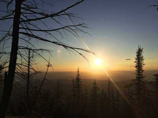
The Sun’s setting. We had to hurry up..

James on the southern sub-summit with almost nothing to see…

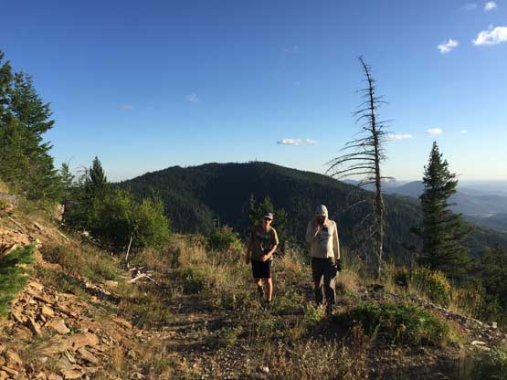
Adam walking down the road checking something on his phone.

It’s sunset time. We might be late for Stensgar Mtn.
