Famine Peak
April 15, 2022
2476m
Pemberton Icecap, BC
Not to be confused with Famine Mountain near Lizzie Creek cabin also in the vicinity of Pemberton that I ascended in 2015 on skis, this one locates in the heart of Pemby Icecap and is even more remote. The name “Famine Peak” is unofficial but this peak boasts over 300 m prominence making it one of the more significant summits on the icecap. The peak looks rocky and rugged and the route information was non-existing on the internet even though snowmobilers regularly sled all the way to the base of the summit block. The summit would be too steep to ski, so I do believe that it’s a rarely climbed peak.
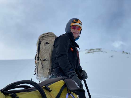
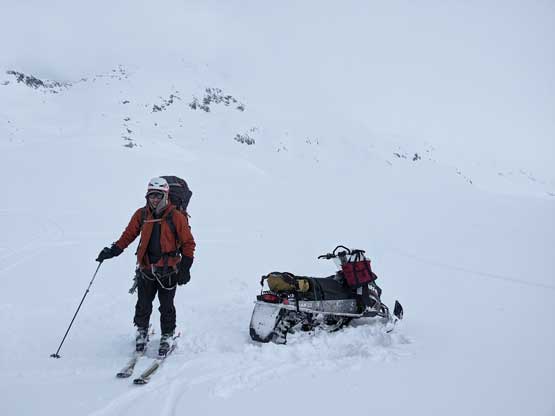
Eric and I planned a sled-assisted ski touring trip onto the icefield. Earlier in the day we had ascended Appa Peak and Longspur Peak which are the two “closer peaks” that do receive some attention on the internet. We basically drove the sled to the base of one peak, tagged it in 1-2 hours round trip and then drove to the next peak. The plan was to repeat this process for at least 5-6 peaks but there’s some problem with the fuel gauge. Fearing that we wouldn’t have enough fuel to get back Eric decided to not risk driving any further, but I did manage to convince him to drive to at least the base of Famine Peak which was a few kilometers deeper than Longspur Peak. Our primary objective was Torah Peak deep on the icecap and to get there from our current spot would require an overnight mission, so we spent at least half an hour unpacking and re-packing. I opted to go as light-weight as possible as even that I probably wouldn’t be able to keep up, so “every gram matters”. I opted to leave ice axe behind as I’m generally confident on steep snow without an ice axe. Later on I would regret about this decision several times.

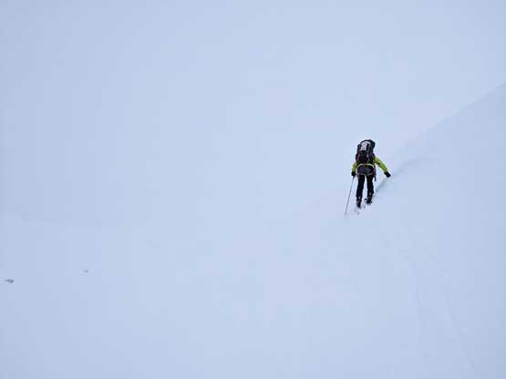
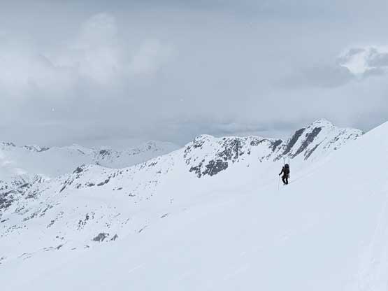
The weather had turned on us with light snow shower and not-so-great visibility and we weren’t even sure what would be the best route to reach “Famine col” between the main peak and a sub-summit to the west. I proposed a solution to aim for the shortest distance but that ended up bringing us to some steeper terrain. After ascending a steep roll we came to a steep traverse in flat-light conditions. Having only one ski pole I wasn’t even confident to skin across the steep slopes without being able to see much. I had to remove the skis and boot-pack a long ways losing a lot of precious elevation. Eric, being a much better skier, just side-hilled across and met me higher up near the col. At the col we found some snowmobile tracks indicating that our planned route to link up with Torah Peak would likely work out.


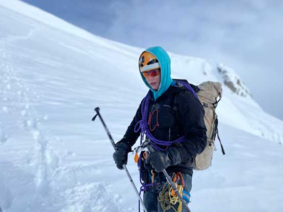
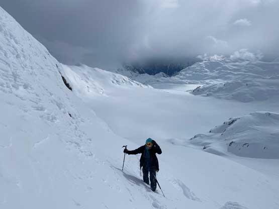
We ditched the skis and went for the short but steep 150-m ascent towards the summit. Again, there was no “beta” so we didn’t even know if it’s doable or not as the terrain looked insanely steep from our position. We strapped the crampons on but none of us had brought an ice axe. Eric led in front when the terrain became steep as he at least had a whippet. There were a few spots approaching 50-degrees but the terrain was never too exposed and the snow condition was excellent for kicking in. The climb turned not easier than appeared so we both topped out shortly after. The views weren’t great due to the clouds.

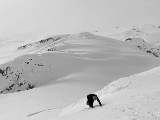

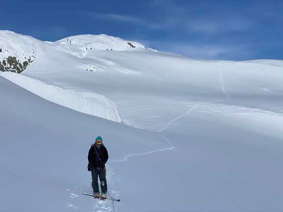
Descending following our own tracks was not a difficult task that in short time we had plunged back to the skis. There were three options to get to “Torah Peak” and our planned camping area, and we opted to stick with “plan A” in order to minimize the horizontal distance. I led us traversing/ascending another steep roll out to the west and then we entered the world of white-out again. The crux came shortly after as we down-climbed a pitch of 50-degree slope without being able to see much at all. I was leading in front bootpacking and roped up and all the sudden I started to slip into some steep terrain. I quickly stopped the slip and thought this would just be a wind drift or something, so continued down-climbing a few more meters until I realized it wasn’t really just a wind drift. I thought about to just climb back up, but I decided to ask for a body belay and continue down-climbing. About a pitch later the terrain angle eased and the visibility came back. We then did an easy-ish traverse aiming at some distant snowmobile tracks towards another shoulder/col on the west side of Famine Peak which would give us a passage to descend to the main glacier of Pemby Icecap.