Mount Kruger
June 6, 2021
1207m
Osoyoos, BC
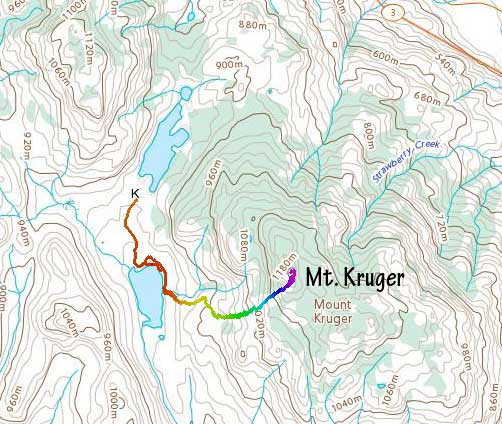
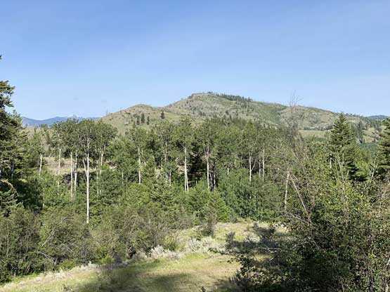
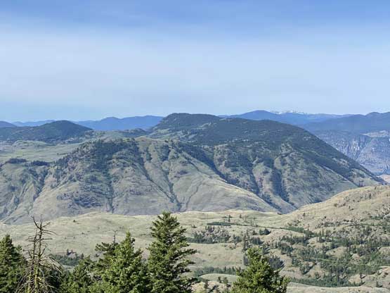
Mt. Kruger is a broad and wooded summit that dominates the west side of Osoyoos. There are two distinct highpoints (NW and SE) on this wooded “dome” that are roughly 1 km apart. The official name had been assigned to the SE summit but the NW summit is both higher and more open and should be considered as the “true summit” of Mt. Kruger. The NW summit is also easier to ascend via open slopes from Kilpoola Lake.
I did this hike as the second objective after completing “Crying Peak” earlier in the morning. I summited that higher peak at sunrise and finished the hike at 7 am. Mt. Kruger is accessed from the same service road system so upon reaching a 3-way junction I turned right (south) and drove to the north end of Kilpoola Lake. The road beyond was gated but I didn’t look closely. Apparently one could easily open the gate and drive through but I figured there’s no such point as I would leave the road in less than 500 m anyway.
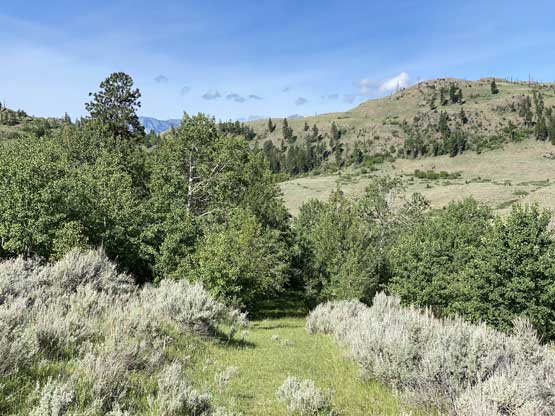
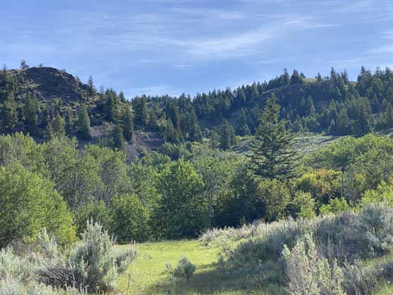
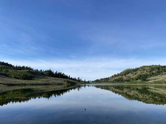
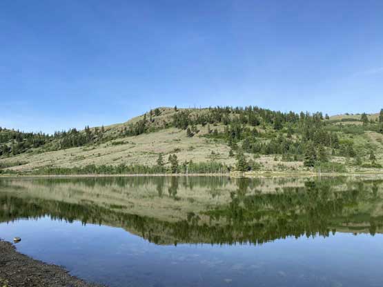
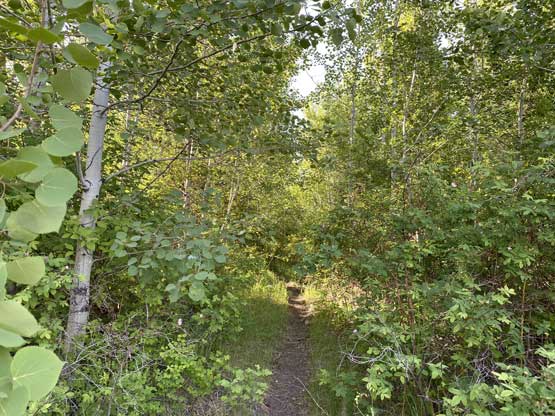
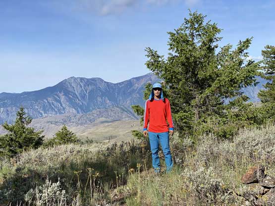
The walk along the shore of Kilpoola Lake was surprisingly very scenic and so was the initial ascent above the lake, because of the open terrain offering unobstructed views. About 100 m up the slope I entered some forest but managed to link up a few open patches by using a combination of old roads, unofficial trails and short-lived bushwhacking. Once above 900 m I was able to stay entirely on open slopes although I did have to duck under a barbed wire fence. The grade of the upper slopes was also steeper but honestly this is a no-brainer off-trail hike that needed nothing to note for. I did however, have a close encounter with a black bear right on the summit. The bear was running towards me from behind the summit but as soon as he saw me (less than 5 meters away) he turned around and ran away. I was taking a selfie at the moment so had no clue what was going on until I saw the bear in close range.


Because of the bear encounter I had no mood to linger any longer than necessary on the summit. I did not even stop for food and water and immediately started the descent. I had thought about to link up more open slopes by descending a line further to the north but the bear ran towards that direction, so I just retraced the route that I used on the ascent. I checked GPS many times to make sure I did not go off the path as bushwhacking in desert-like terrain is a lot worse than appeared. I did have to go through some bushes and even just 30 meters of bushwhacking in this area would make me swear, and I know I have a reasonably high tolerance for this kind of “fun”. I finished this hike at 9 am. The weather was still sunny so I made a spontaneous decision to grab another peak before going home.