Crying Peak (Kruger West)
June 6, 2021
1346m
Osoyoos, BC
“Crying Peak” is the unofficial name of a higher peak to the west of Mt. Kruger In the South Okanagan Grasslands Protected Area not far from Osoyoos. I could not find the origin of this unofficial name. I assumed it was given by one of the few who are known to give themselves “unverified authorities” to name peaks on either peakbagger.com or bivouac.com. The park’s map actually labelled it as “Black Mountain” but “Black” is kind of too common and thus uninteresting so I will stick with this user-added name (even though I’m not a fan of it).
Despite the forested and dull-looking profile this peak actually boasts over 600 m prominence and this is pretty much the sole reason why it has been attracting peak-baggers. The access for “Crying Peak” is however, not as straightforward. The most logical way by looking at the maps is from the SW on open grassy slopes but such side is off-limit due to farmlands, Canada/US border, an active quarry and the associated serious private property issues. I got to look at this peak because of a conversation with Chris Hood a few months ago. We both agreed that the eastern access from the park would be the way to go but Chris said even that side had private property issues (which had been confirmed by Simon’s brief post on bivouac.com). I did not want to try the eastern access in winter because that meant I’d have to walk most, if not the entire road from Blue Lake. A few months later there came another Sunday when the weather pushed me to think about areas far to the east. The only spot that had “sun” in the forecast was the southern Okanagan and only in the early morning. I instantly decided on “Crying Peak” as the major objective. If I were able to drive a ways up the spur road into the park then I would have time to bag a few more peaks. Unfortunately nobody was able to join, or should I say that nobody was interested in driving 5 hours each way for just a day-trip.
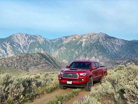
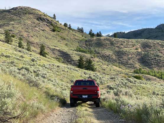
I drove out of White Rock at 10 pm on Saturday night after work and made quick progress down east into Highway 3 corridor. At this point nobody was sure about the status of the Covid checkpoints but it turned out that the checkpoint was no longer there anymore. Maybe they were still blocking the road but as far as I could tell, it’s definitely not on-going 24 hours a day and 7 days a week. I drove through Manning Park at midnight of a Saturday and did not get bothered by anybody. The “Kruger Mountain Road” was trickier than expected. There had no major obstacle but the road was narrow and rough the whole way. Past Blue Lake it had become a single track with maybe half a dozen spots to turn-around for the entire 7-km stretch to the base of “Crying Peak”. I was thinking about the rough situation if someone else was driving the opposite way, then both of us would be seriously fucked. To minimize the chance of that happening I decided to summit this peak at sunrise and get the hell out of here as soon as possible. It was 3 AM when I finally parked. Without falling into sleep I got out of the truck half an hour later, turned on the head-lamps and started the ascent.

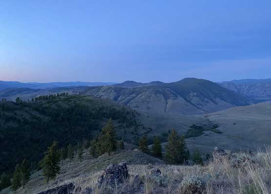
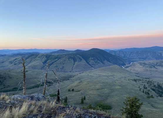
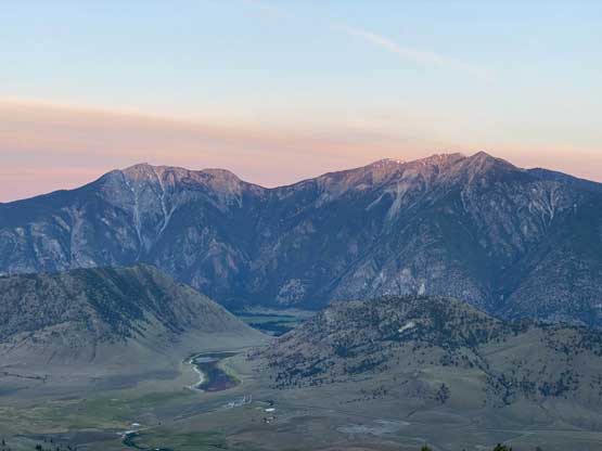
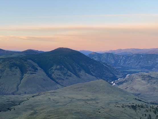
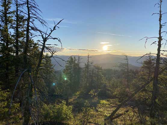
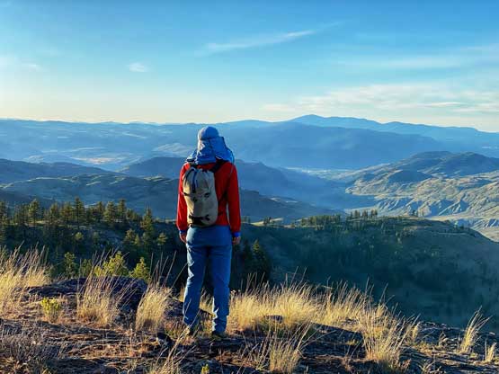
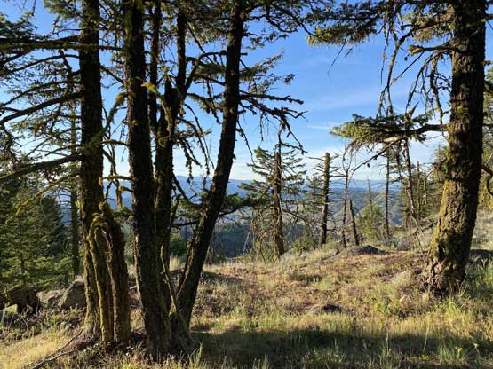
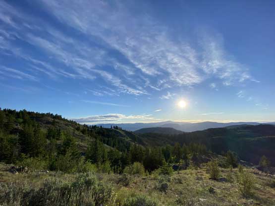
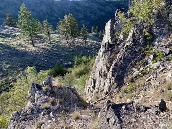
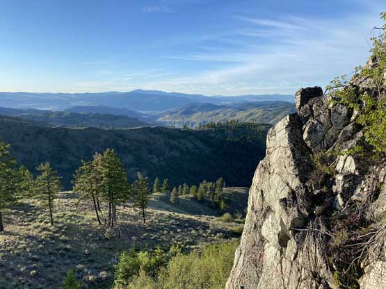
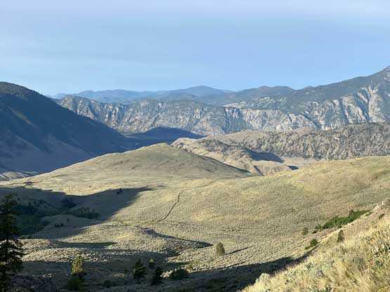
Hiking the open, desert-like terrain was very easy that in no time I was on the “SE Ridge” cruising up. I slowed down on purposely because I did not want to summit it in dark. There was some micro-terrain on the ridge including one short bit of scrambling. Higher up the ridge turned westwards and the terrain became flatter and less open. I opted to stop at a descent viewpoint a few hundred meters from the true summit to wait for sunrise.


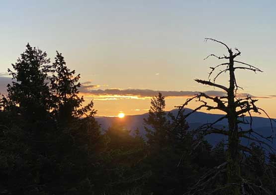

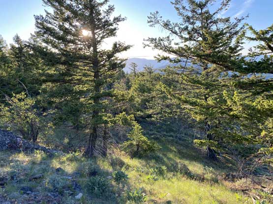
Once the pink show was over I resumed the traverse to the true summit that involved at least one dip and some minor bushwhacking. The view from the true summit was very limited because it’s covered in forest, but I did catch some cell signals from the highest point.


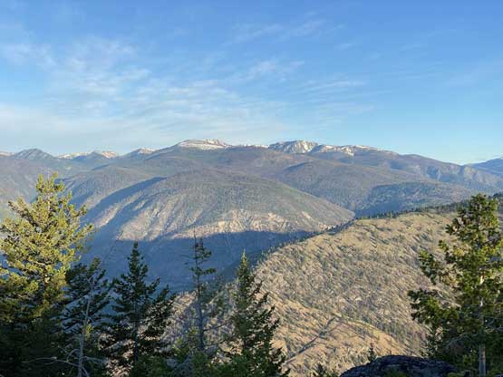
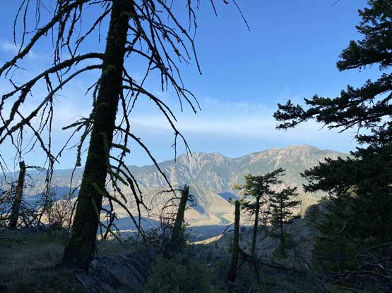
On the descent I resisted the temptation to make a loop or some sort like that. I decided to stick to the route I used on the way up. I took another break at the viewpoint south of the summit because the lighting now was very different than at sunrise. The view of the grasslands was also very unique and memorable on the descent as that’s something I missed out while going up in the dark.


I immediately turned on the engine and started the drive. The road felt smoother on the way out probably because I could see farther with daylight. I stopped a few times to take some photos of the truck, and as I was hoping for, there was nobody going up the opposite direction. I then turned my attention towards the nearby Mt. Kruger.