Mount Pattison
November 9-10, 2013
2350m
Jasper – Victoria Cross Range, AB
Mount Pattison is one of the insignificant, but relatively remote summits in Victoria Cross Range. It was on my ‘list’ only because of its official status. Elysium Mountain is already a small peak in this range, and Mount Pattison is even much smaller. From the summit of Elysium Mountain, I couldn’t even tell which of the bumps is Pattison without checking my GPS. Among the bumps between Elysium and Monarch, Pattison isn’t even the tallest one. Needless to say we were less motivated for the slog ahead but in the end I’m very glad we pushed on. The lovely alpine environment between the two peaks is incredible and yet, it rarely sees visitors.

Elysium Mountain to Mt. Pattison winter traverse route. GPX DL
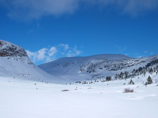
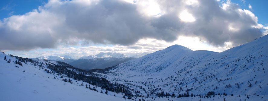
The broad northwest ridge led us easily down Elysium Mountain. There was barely some snow on this wind-blown ridge so we kept the snowshoes in our packs. The elevation loss was massive and by the time we finally started to go up again, the views had changed a lot. We got a whole lot different perspective of this area.
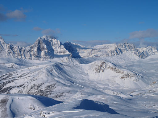
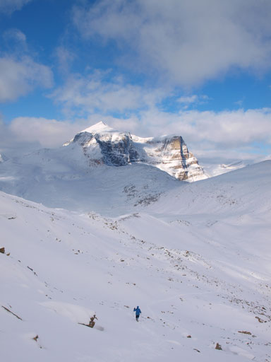
Mount Pattison is the low bump in the foreground..

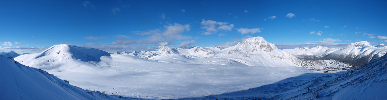
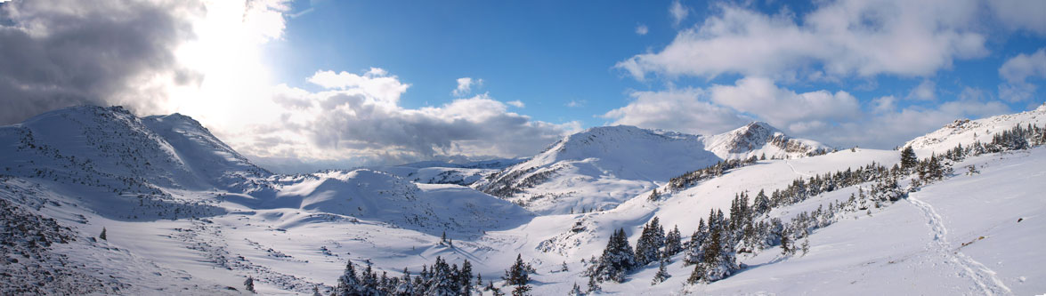
Panorama from partway down from Elysium Mountain
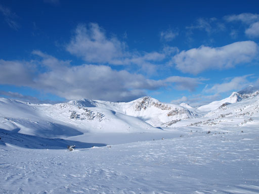
Another panorama of this lovely alpine area
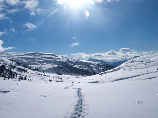
Getting to Pattison wasn’t hard but did take time. We had to travel through quite a few passes with one of them having a significant amount of elevation loss. And it was this pass that didn’t hold a lot of snow and many boulders poked from below. We had to be very careful not breaking our ‘shoes. Down to the lowest point, we would turn sharply right and follow a broad valley up to another col, and one at that col, we turned left and ascended the snow covered boulder field to the summit. This boulder field was difficult to negotiate. It’s either risking to break our snowshoes or post-holing to mid-thigh deep with occasional deeper spots.

Cresting over another pass
And there’s a frozen lake right at the pass
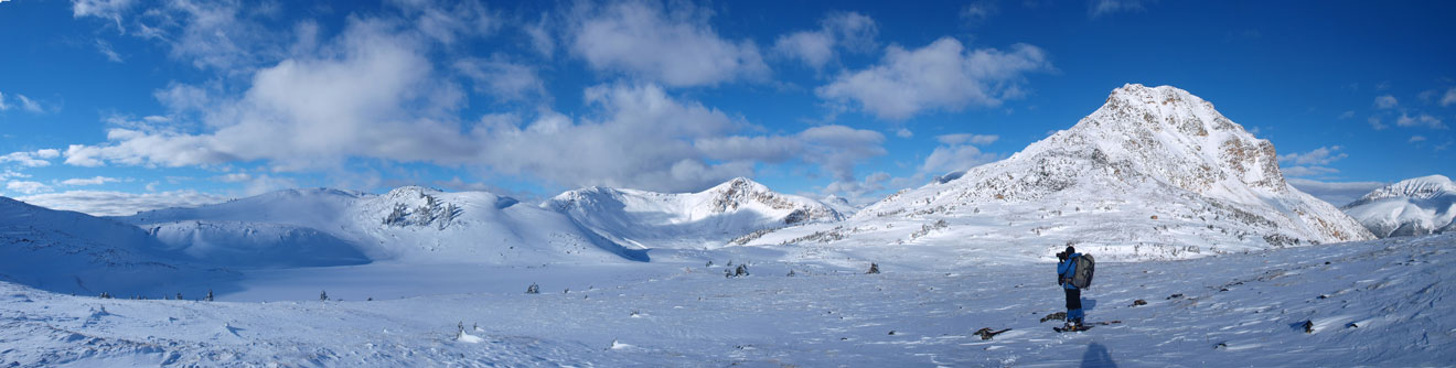
Panorama from this pass

Now what, Pattison is right in front of us, but we had to lose elevation
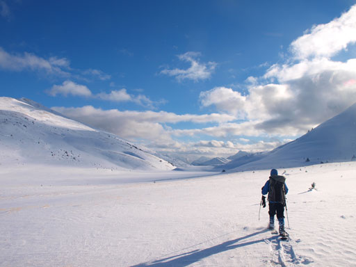
And then travel up through this broad valley
Looking back
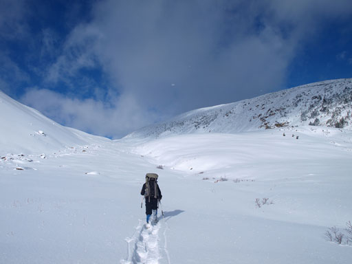
We took turn breaking trail. The snow wasn’t supportive, lots of post-holing

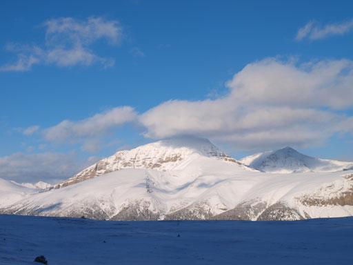
Pattison’s slope

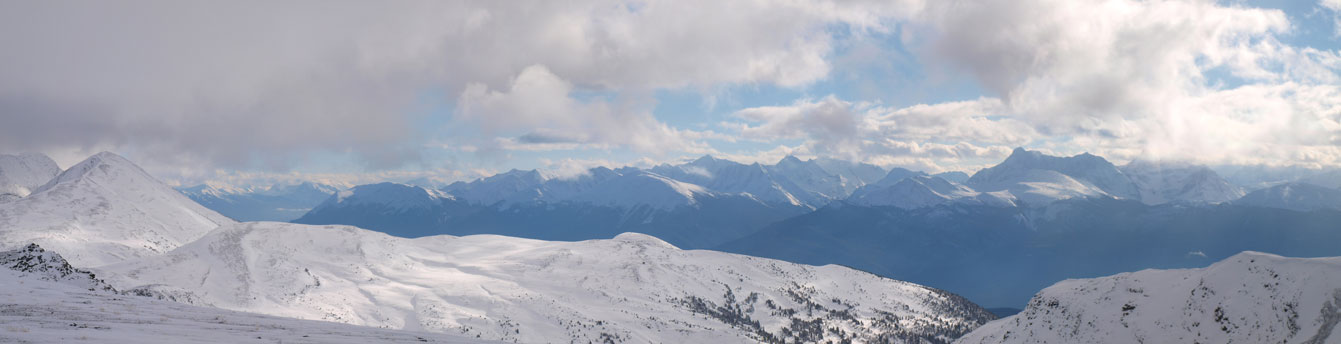
Summit panorama. Click to view large size.

Zooming-in towards the south side of highway. Too bad the weather moved in
Peaks in Trident Range

Me on the summit of Mount Pattison
It took us exactly 5 hours from camp to the summit of Pattison. Doesn’t sound long, but in mid November, this is already more than half of a day… On the way back, we retraced our tracks to the first broad pass, and from there on instead of going back up to the summit of Elysium, we picked a contouring route. It’s longer and has more post-holing, but did save us the elevation regain and also introduced us some different views.
Descending Mount Pattison, with Monarch Mountain in the background

Panorama from partway down
Now we were back to the broad pass

Travelling towards Elysium Mountain

Panorama from this pass again
We would aim for Elysium’s west side to avoid elevation regain. Another tarn here.
Looking back towards Mount Oliver
Panorama from the west side of Elysium Mountain

Up and over another col, looking toward Emigrants Mountain

There’s a steep slope to descend
Bushwhacking came at the last from the last col back to the camp. Now we had to make an important decision. Should we slept here for another night, or should we descend back to the car. The forecast was calling for -19 degree at Jasper so that would be chilly at this elevation. The sun would go down at 5pm but that’s not even close to our normal sleeping time. If we started to go down at 5pm then we can get back by 10pm and that’s not even the normal sleeping time neither.. So we decided to cook dinner first and then start the descent.

Emigrants Mountain from our camp
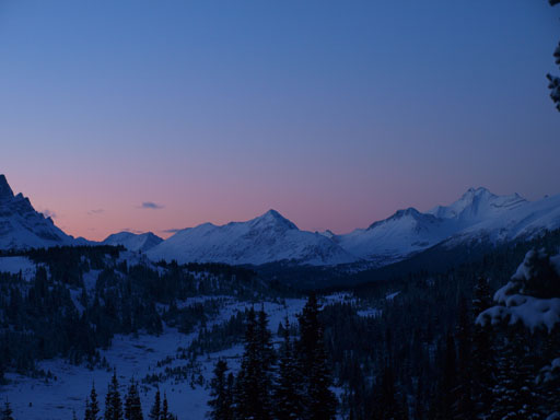
We were a bit late for evening glow
Alright, the first thing of the return was regaining 150 m elevation back to Emigrant’s shoulder, but since we’d already made the trail there wasn’t any post-holing involved so time went by fast here. Once cresting over the shoulder, the sun had already gone down. We were a bit late for evening glow, but oh well. The rest of the snowshoeing section went by even faster, much faster than our expectation. The last 10km was a different game with the two big ‘shoes adding to the weight on our shoulders. My shoulders were very painful and by the time we almost got back, another interesting thing happened. We had to cross a train track and unluckily for us, a train came and we had to wait. And funny, instead of passing by, this train decided to stop and we had to wait for it to move on for at least 20 minutes. Awful… The trip time for our second day was 14.5 hours in total.
Back to civilization, we went to Jasper for a well-deserved meal. We all had the plan to bag another peak on Monday but given our tired shoulders we opted for not. We were too tired for another day of post-holing. Instead of surviving another cold night in Jasper we decided to take turn and drive home. Got back by 4am in the morning. Thankfully the next day wasn’t school day so I could get the missed sleep hours back.
