Three Fingers
September 27, 2026
2092m
Mountain Loop Highway, WA
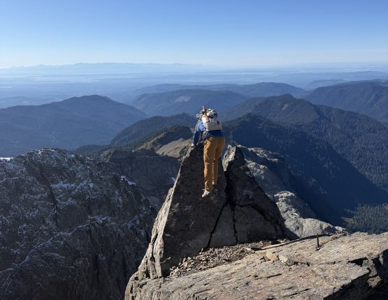
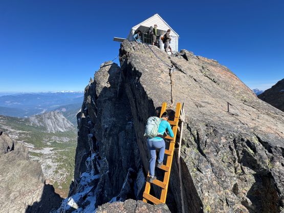
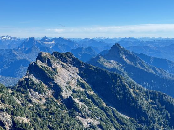
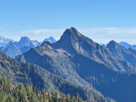
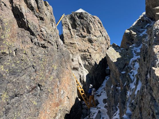
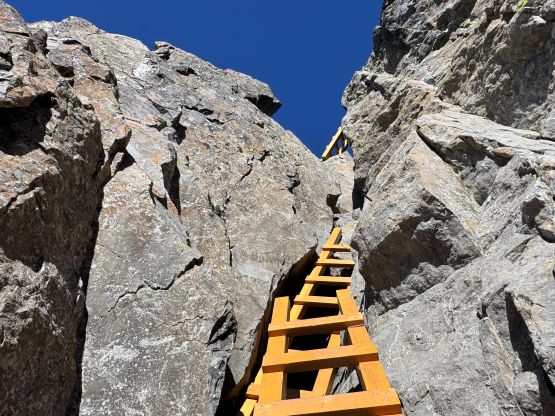
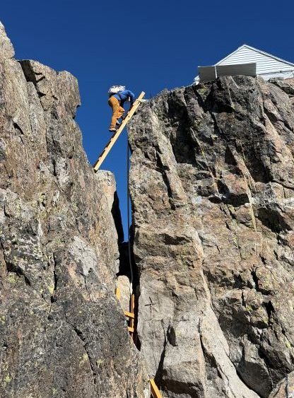
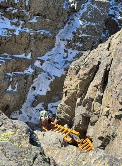
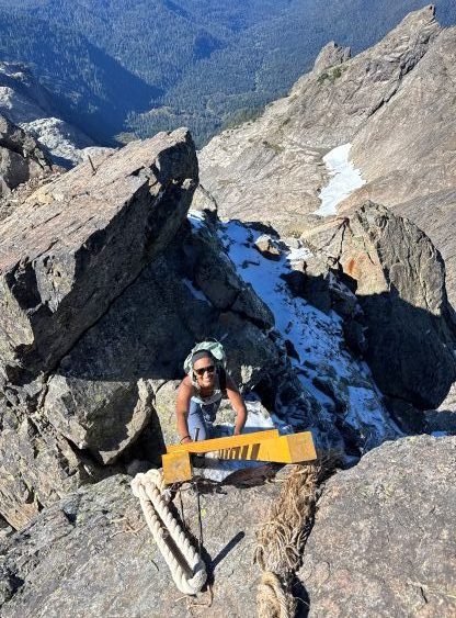
Three Fingers is the highest in the Mountain Loop vicinity and boasts over 1300 m prominence making it one of the more topographically significant objectives in the state of Washington. This peak is also extremely iconic from almost everywhere, and has a lot of history in it. From peakbagging perspective the LiDAR analysis confirmed the south peak to be indeed higher than the technical north tower but the north peak does boast over 100 m prominence, so perhaps one day I’ll return for that one and hopefully the access situation will improve by then. The south summit boasts one of the weirdest but also coolest lookouts in the state as it’s perched right on the highest point. Three ladders provide a viable way to scramble to the lookout and without them, this peak would be at least “mid 5th class” making it one of, if not the hardest P1000m objective in the entire “Lower 48”. I sure appreciated the ladders being there but part of me was curious about the true technical difficulty of this objective otherwise.
This used to be a popular objectives back in the days when the road access to Tupso Pass was still “in”, but with the washouts and the permanent closure we are looking at an additional 10 km each way of biking, hiking or running. This jacks up the round trip distance to the 40-50 km range which is doable as a day hike but only in the elite group. An overnight stay either in the lookout itself or lower down on Goat Flats is another option but making this a 2-day outing also complicates things, and that’s probably why I had thought about Three Fingers for a decade but never ended up actually doing it. I’m also not really a biker and currently I don’t even own a bike. I could wait until I own an ebike but that’d be in another year or two. Then all the sudden I started to come across trip reports on Facebook and peakbagger.com in which people started to go up a direct “bushwhacking/backdoor route” which significantly shortened the distance. The trail-head is still the same. I did a bit of research and found fair amount of “beta” including multiple sets of GPX tracks and those tracks converge quite well, suggesting there might actually be a path.
Later after doing the trip I learnt that this is actually called the “SAR Route” and had been long existing mostly to facilitate the rescue operations. The route and the lookout itself are regularly maintained by volunteers and (at least some of) those people discourage people from taking this backdoor access. Sure, I’ll pass on the information to the followers. I do not agree with the idea to keep things like this secret on the internet. Firstly the ideology won’t work considering it’s already 2026 and my trip itself simply proves that. I wasn’t told in person by anybody and solely discovered it through social media knowing nothing about the background information. Instead of fighting the trends, my two cents for those close-minded is to actually make the information transparent, state why you don’t want visitors and let each of us making our own decisions. Some of us especially peakbaggers will simply not give a fuck even if it’s made in private property with “no trespassing” signs, and as far as I know, this route is completely legal at least at this point.
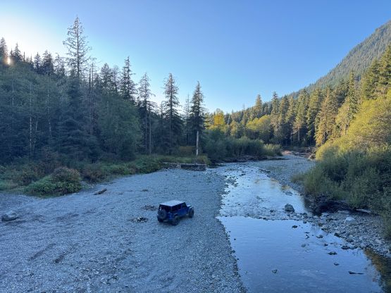
Via this “SAR Route” the trip distance would be shortened to 19 km and biking is no longer needed. This meant I could have easily organized a trip with friends. Mel signed up for this trip after not doing anything in the past 4 months and honestly I was a bit surprised that no one else wanted to come. I had read somewhere that there might be a closure due to logging activities starting on the following Monday so this would be the last chance of accessing Three Fingers this year. I could definitely confirm that after being there myself, so that rumour was true. I wasn’t very sure about the amount of the fresh snow so at the last minute I decided to carry an ice axe and microspikes. They turned out to be training weight but there was enough snow/ice on several exposed parts of the traverses that would have easily warranted the use of traction. I was also unsure about the water source situation even after consulting with friends who had recently done this peak. I can now confirm the existence of stagnant water down on the Goat Flats and 2 or 3 streams higher up under the upper “snowfield”. I’m 99% sure those streams would flow the entire season but given the sizes of them don’t count me 100% on that. I ended up bringing a tiny stove with a fuel canister as the worst case was having to melt snow for water. Of course those were training weight as well. Mel and I left home at 10:30 pm and got to the trail-head about 3 hours later. My strategy was to go to bed late and wake up late as I wasn’t keen on dealing with the dew and the residual rain water given that parts of this route would be “bushwhacking”. We naturally woke up at 9 am and we were the last group starting. Two volunteers passed us at the trail-head running the entire length of the “long route” and they confirmed the closure on the following day. In fact, they would be shutting down and locking the lookout. We ended up beating them to the top (barely) but if we didn’t manage so we would be denied accessing the true highest point on Three Fingers. The highest natural ground is actually on the backside of the lookout which is only accessible by tunneling through the doors unless one’s willing to make some very exposed climbing around it, so keep that in mind in case someone decides to go up there when the lookout structure is closed.
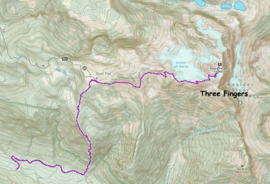
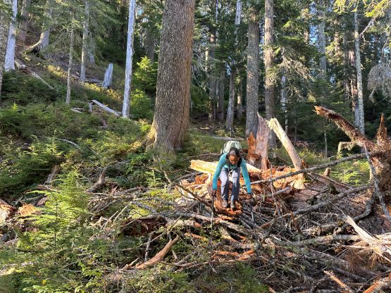
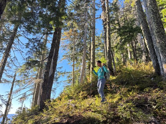
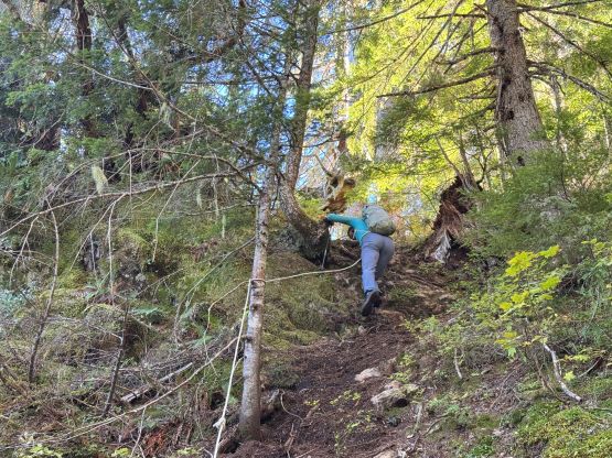
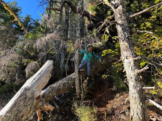
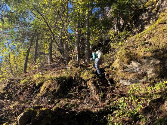
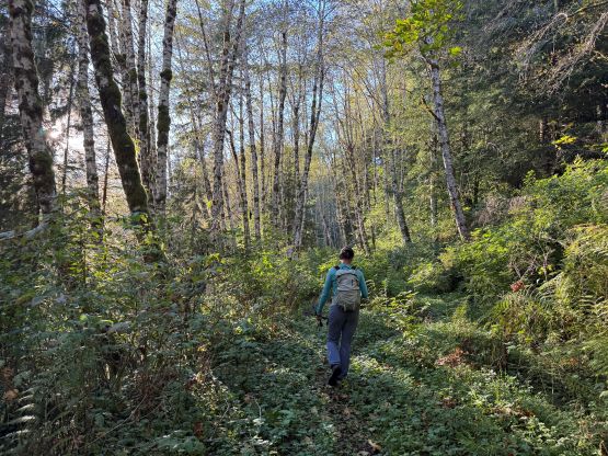
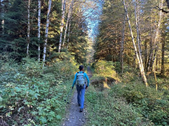
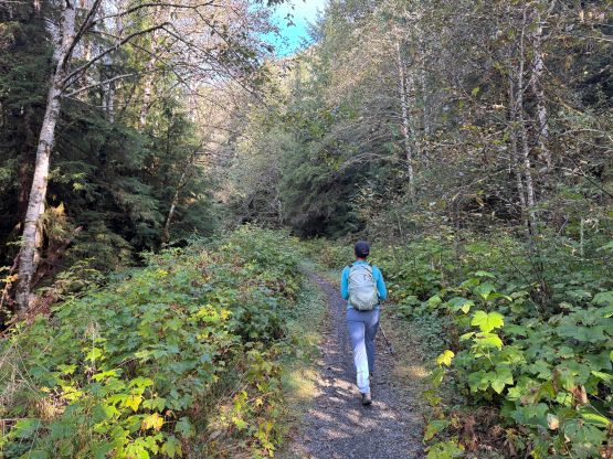
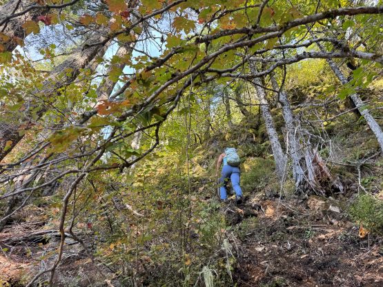
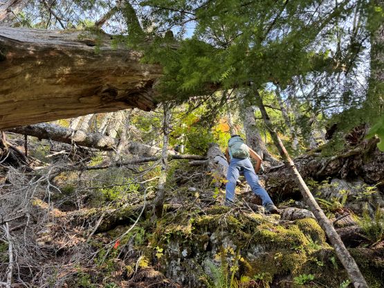
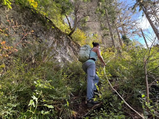
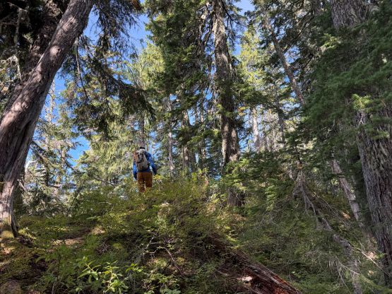
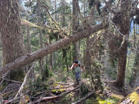
A few hundred meters of plodding later we correctly located the turnoff and the initial 2-3 km of this route was dashing up a deactivated FSR. This road was seriously overgrown but a path had been developed and maintained and we could even see fresh footprints. The turnoff for the actual access trail was marked with a ribbon. Mel was leading at this point and missed it but I quickly corrected the error. The trail became insanely steep in no time and almost the entire lower half was assisted with 60-m batman ropes. I did not count but there were at least a dozen of them if not more. We caught up to a group-of-two that was not the one that we met at the trail-head but we never ended up passing them until around Goat Flats. Mel and I took a few breaks as the grade was relentlessly steep and the day was hot and humid. The upper half of this “trail” wasn’t as clearly marked as the lower half but the grade wasn’t nearly as steep. A few stretches required some guessing work and a lot of GPS checking but the route-finding was generally straightforward for experienced hikers. Eventually after over 1000 m elevation gain we were at the Goat Flats. We made a short-cut bashing straight up the open meadows and joined the trail higher than Goat Flats.
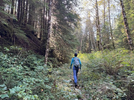
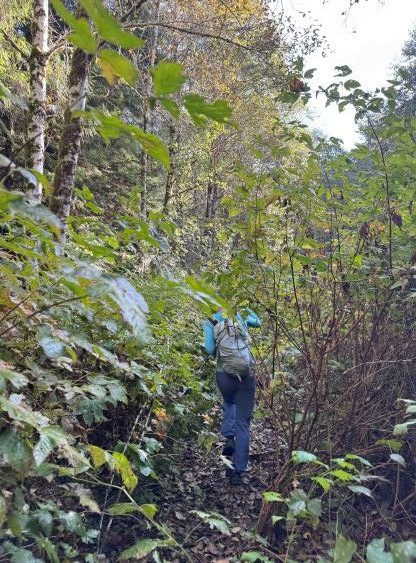
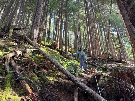
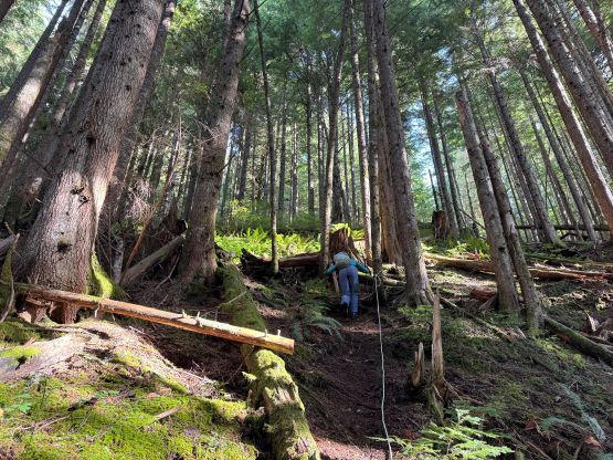
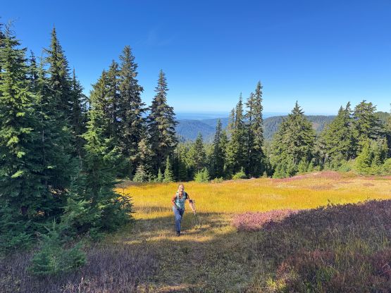
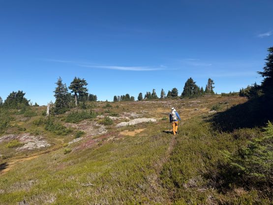
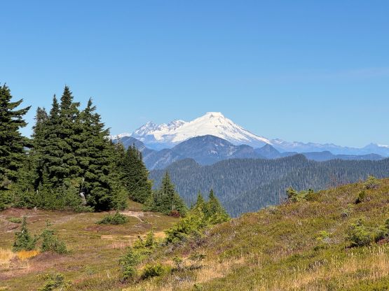
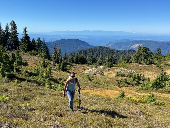
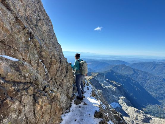
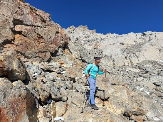
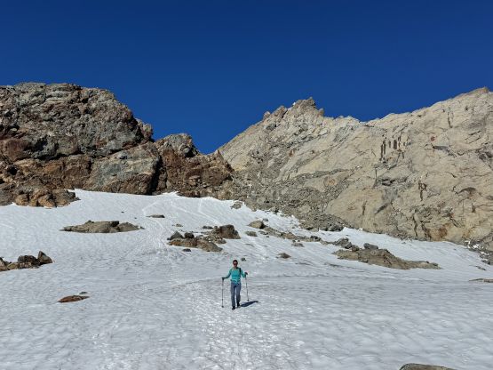
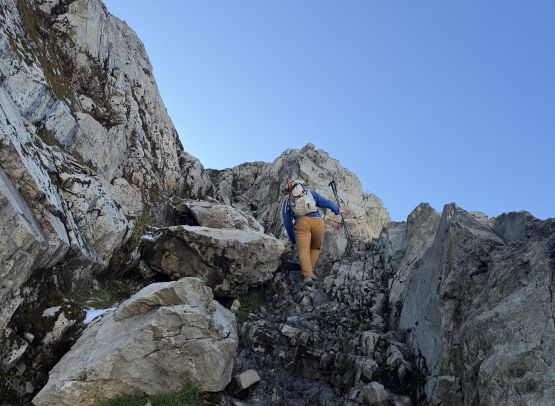
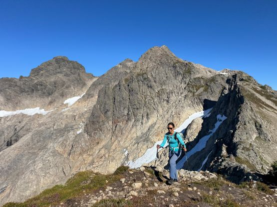
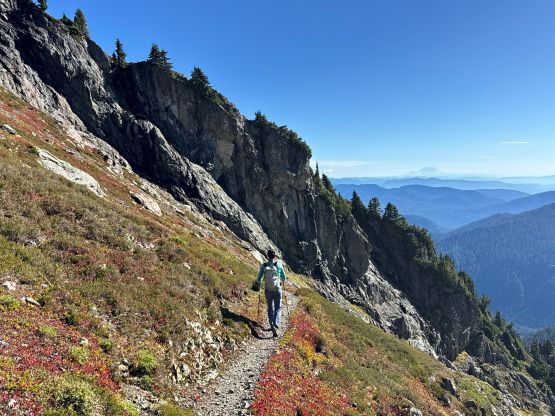
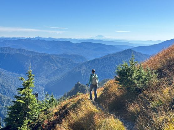
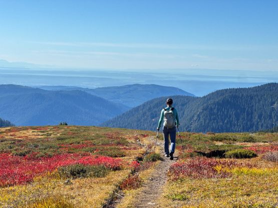
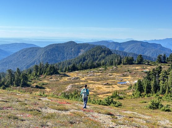
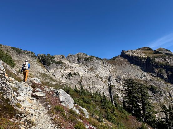
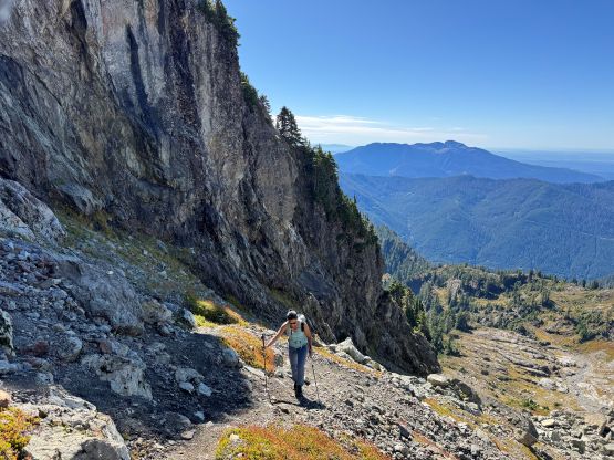
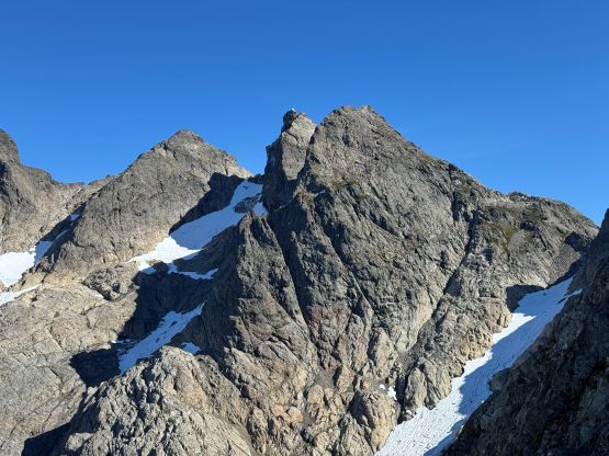
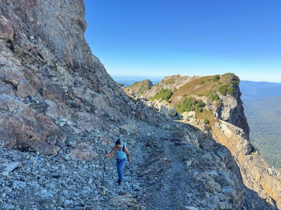
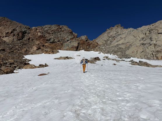
At this point we were back on the “standard route” and quickly passed the volunteers that were resting on the meadows. I jokingly asked if they had already finished the running but nope, they were still on the way up. We also passed the couple that were leading the direct route ahead of us, and the three groups basically leapfrogged the rest of the ascent. There wasn’t a ton of worth-noting details as we were on a trail, but there were several up-and-downs and one of which required some scrambling on down-sloping chossy terrain. This stretch was also frozen with some fresh snow and required some care. Higher up we found the much-needed running streams of water and then took over the lead again. The final snow field was definitely permanent and I wouldn’t be surprised if it’s actually a small glacier. We could have avoided it by taking a contrived route but there’s no such point. The fresh snow actually made the footings more secure and the plodding straight up the snow field made the most sense. The final exposed ledge traverse to the base of the ladders was actually quite icy and could easily require the use of spikes/crampons. There were however, enough foot traffics to make the traction unnecessary. The ladders climbing was basically as expected, exposed and wobbly. I had never done any research about it so I was quite surprised by how exposed it actually is, especially considering the amount of people that go up there everyday in the summer. We actually met a group that carried their dog up the ladders to the top and that was downright impressive. And as mentioned the true summit was on the far side of the lookout so I commented that it was actually a good thing that we pushed the pace and got here before it’s closed.
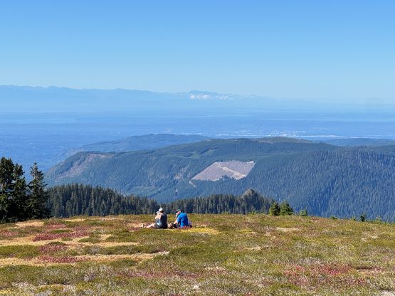
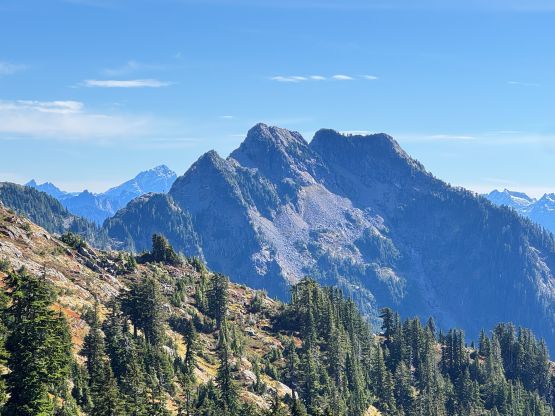
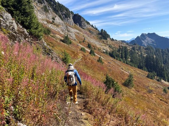
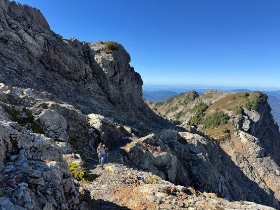
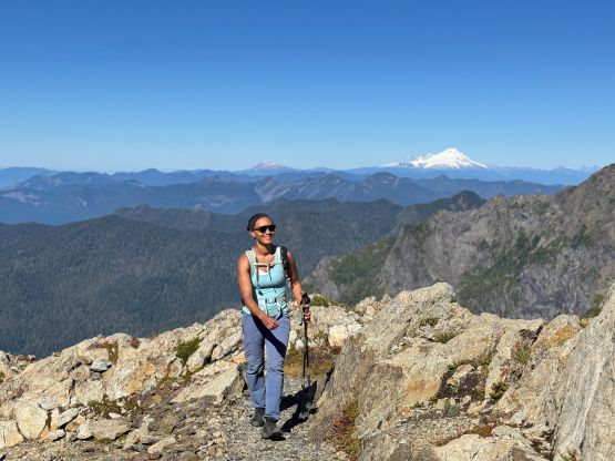
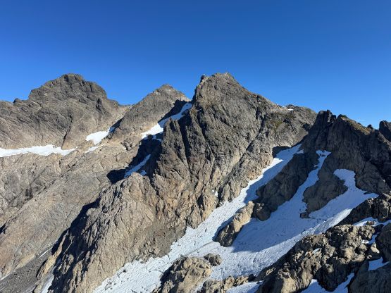
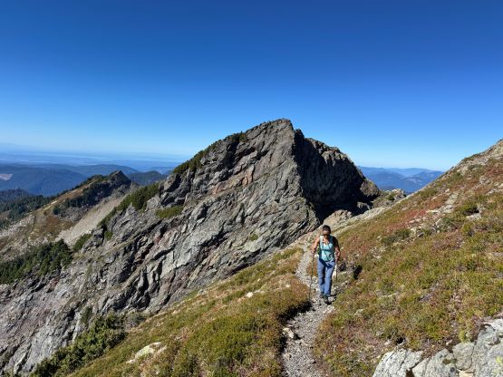
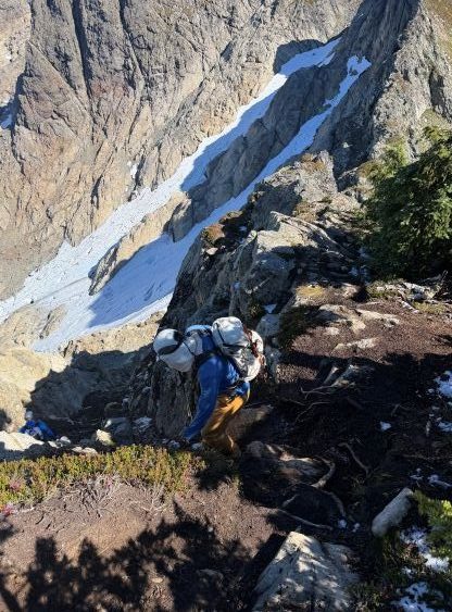
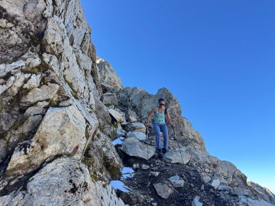
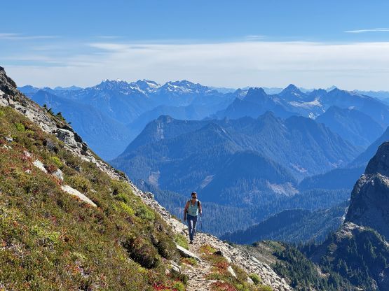
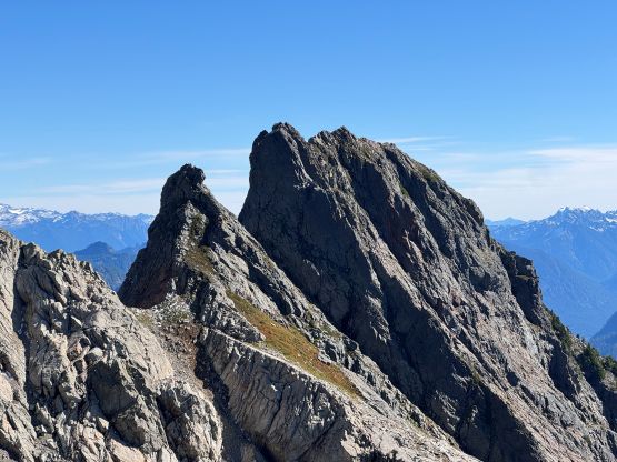
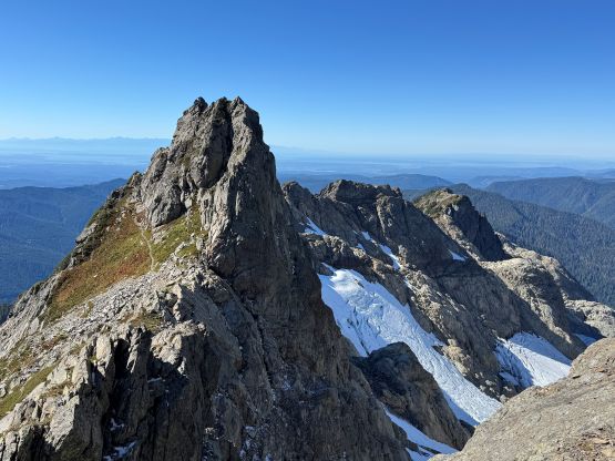
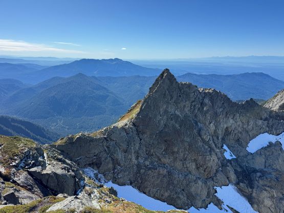
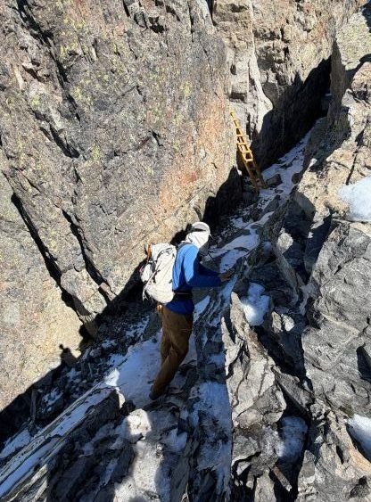
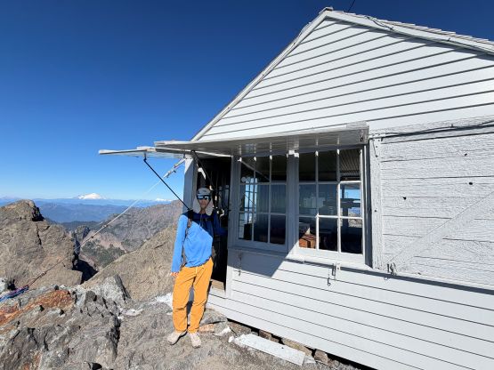
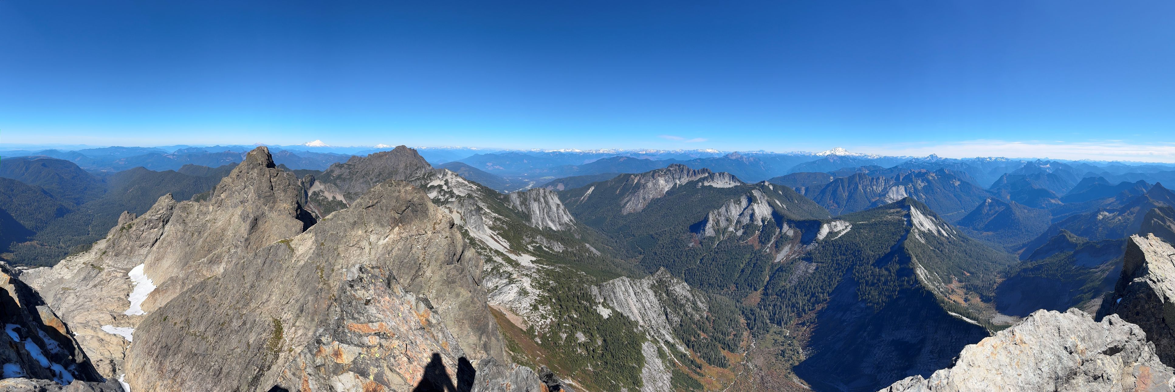
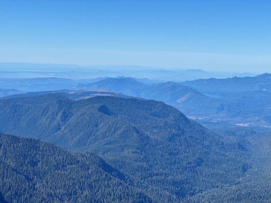
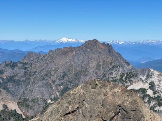
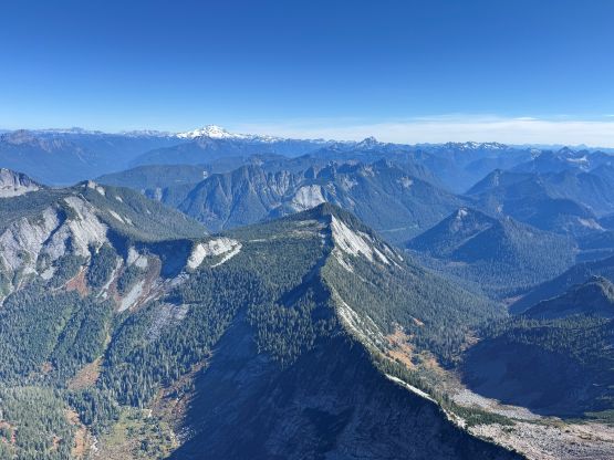
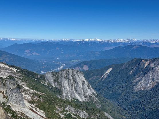
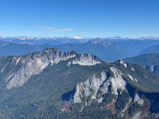
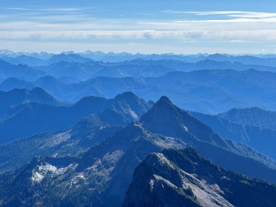
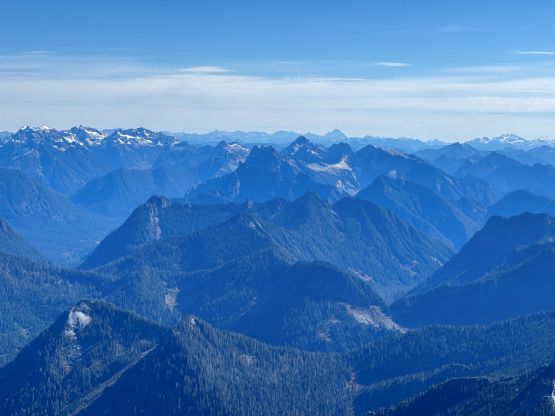
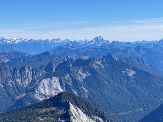
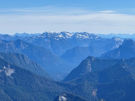
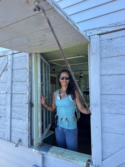
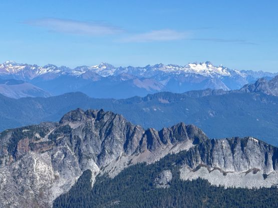
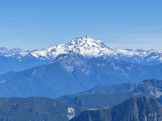
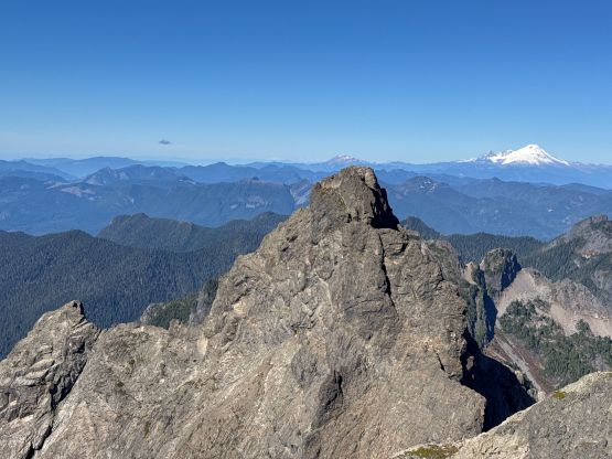
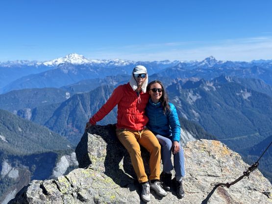
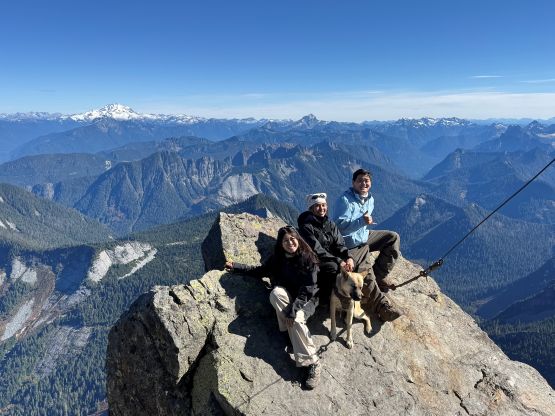
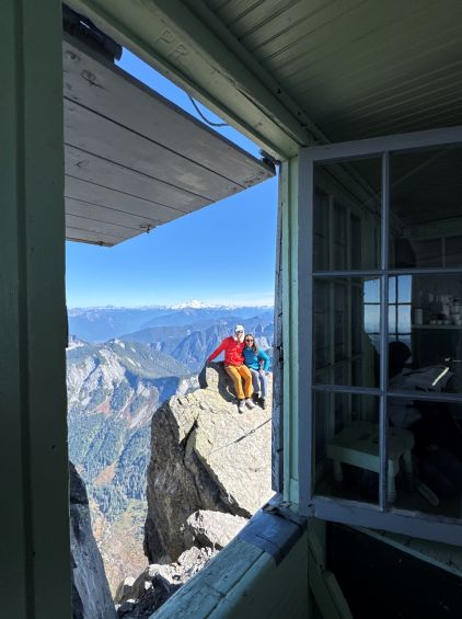
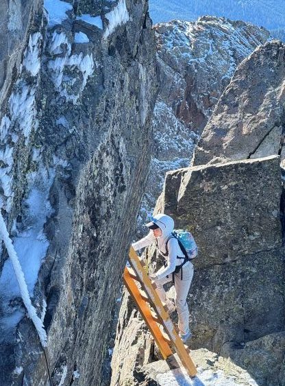
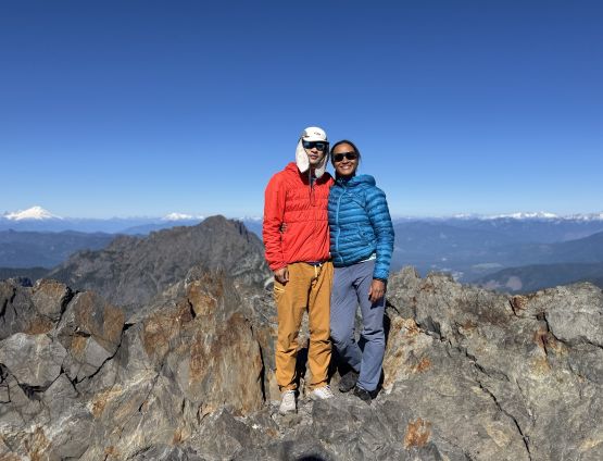
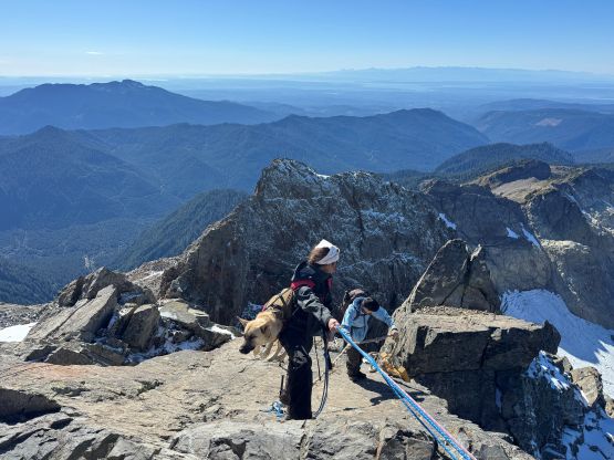
I mostly rested on the east side of the lookout chatting with another group of peakbaggers who actually recognized me, and didn’t bother to spend much time inside the lookout. The ladders down-climbing took a while due to traffics but while waiting I scrambled up a minor pinnacle for fun. For the descent the decision was made for Mel to lead all of the easy downhills and the flats since she’s keen on walking fast, whereas I would lead the roped descent and the steep parts as I needed to be in front doing the route-finding work. Needless to say, the descent was not difficult but very tedious. This was a big outing, after all. Our round trip time was exactly 8 hours and the drive back home took another 3 hours. This wasn’t actually a super late return to my surprise, considering how late we actually started the day. Regarding the routes I’m sure this “SAR Route” would become the new-standard for peakbaggers and mountaineers unless biking is really “your thing”. Whether it’s suitable for the casual hikers and backpackers I wouldn’t comment. I had never been good at evaluating things as if I’m standing at a lower level anyway.