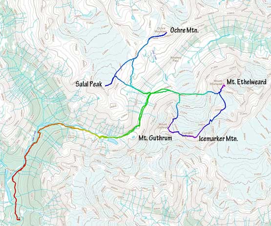
Salal Peak
June 25, 2021
2530m
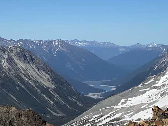
Salal Creek / Upper Lillooet FSR, BC
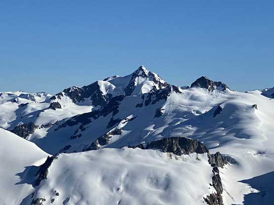
“Salal Peak” is the only unofficially-named one among the 5 peaks in the close vicinity and easily accessible from Athelney Pass somewhere 50 km NW of Pemberton. This is also the easiest of the five peaks that requires no mountaineering knowledge although the approach to Athelney Pass itself is not a trivial fair. “Salal Peak” and Ochre Mountain are lower than the nearby Mt. Ethelweard, Icemaker Mtn. and Mt. Guthrum but are both easier and more scenic, such that these two peaks get a lot more ascents on the internet in the recent years. For Brayden and I the other three peaks were the primary objectives and after finishing them in the morning of Day 2 we found ourselves a whole afternoon/evening ahead to kill. We chilled at camp for about 4 hours but it’s too hot to literally do anything, so by 4:30 pm we decided to embrace the heat and slog up these last two peaks in the evening. I figured that the evening lighting could make some really good views and I was correct.
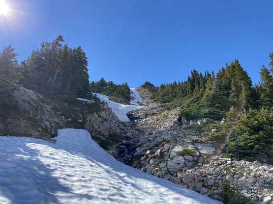
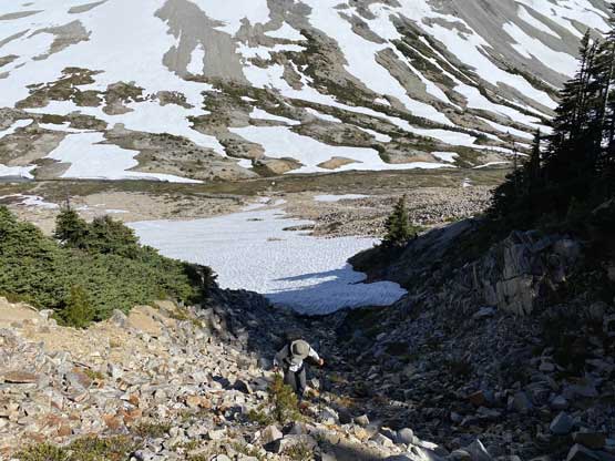
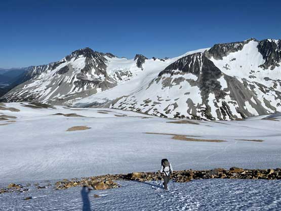
Because we did not camp right at Athelney Pass our first business was to wade across Salal Creek, which was thigh deep. We waded at a spot where the water was mostly stagnant as otherwise the fording could be very difficult. We then aimed at a “rib” that I had spotted earlier on that theoretically could provide an easy passage to the upper slopes of Salal Peak without much of bushwhacking. At this point we were not following any existing beta as all other groups camped farther up the valley. The rib that I planned on worked out perfectly. There was some choss and some steep snow but as expected, no bush. The grunt was exhaustingly hot as expected but there’s a stream and snow nearby to wet our hats (as advised by another friend) so it wasn’t too bad.

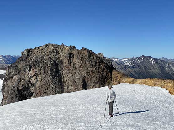
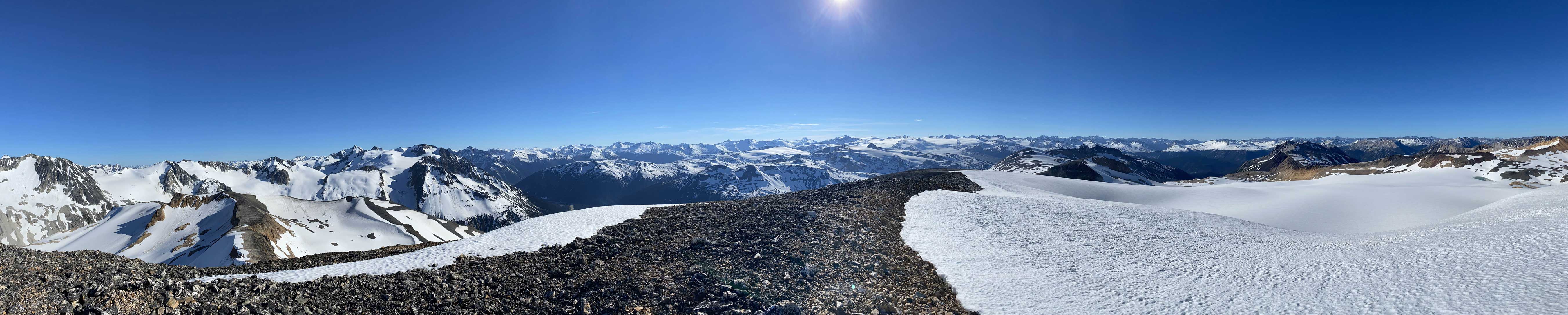
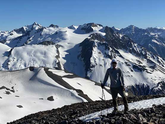
By the time we reached the middle section of Salal Peak we could finally stare at the summit. It appeared close by but I knew the views were foreshortened. We still had over halfway to go which was quite depressing. Brayden volunteered to carry our pack the whole way up this first peak so I went ahead breaking trail. The snow was generally supportive except for near the rocks. We also had to slog up a few patches of choss because we didn’t want to do significant detouring around them. Eventually after what seemed like an eternity we made to the ridge and dropped the pack.
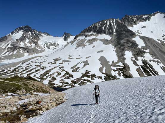

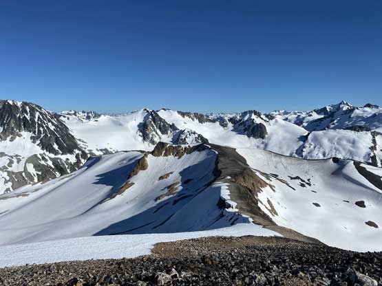
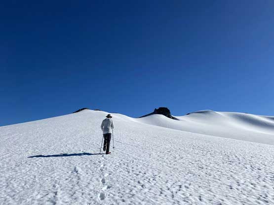
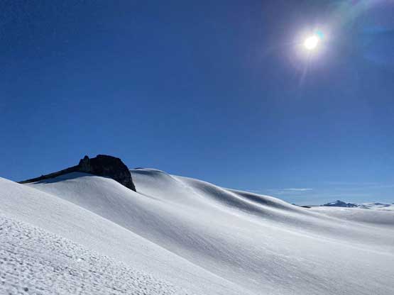
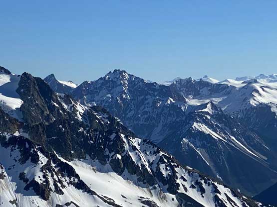
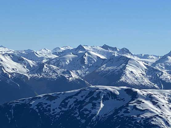
The summit was still a decent ways away and I knew it because I kept looking at the GPS maps. There was a total of 700 m elevation gain from our camp to the summit… As soon as we started the ridge plod we could see a few “summits” and sure enough, the true summit was the far one on snow so we had to get there. The ridge traverse was quite scenic. There was also a cool breeze blowing from the north and that was definitely refreshing.
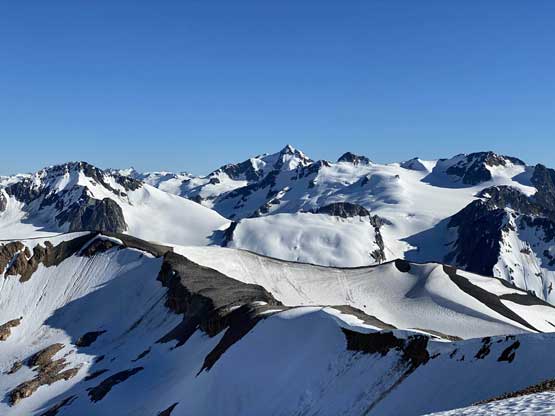
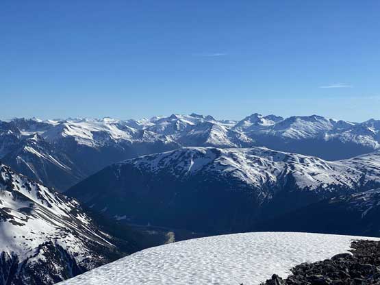
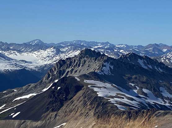
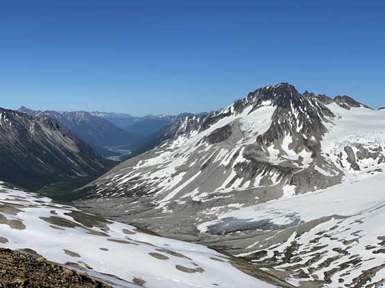
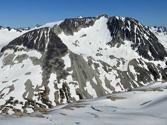
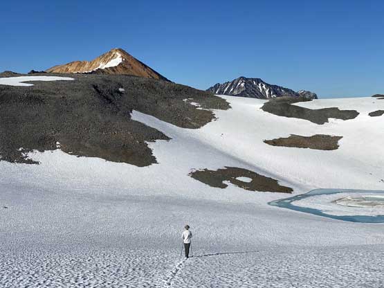
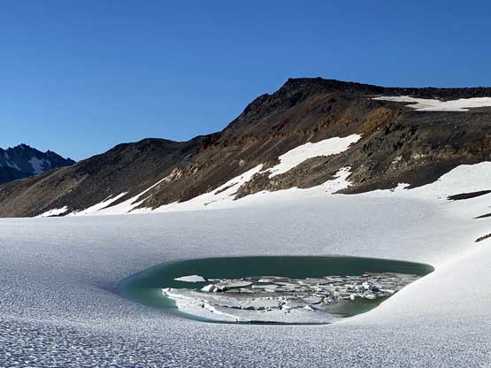
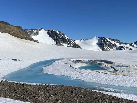
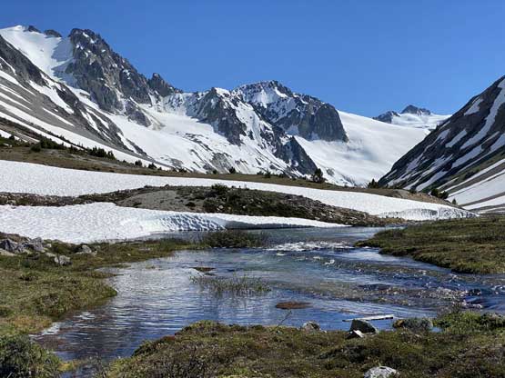
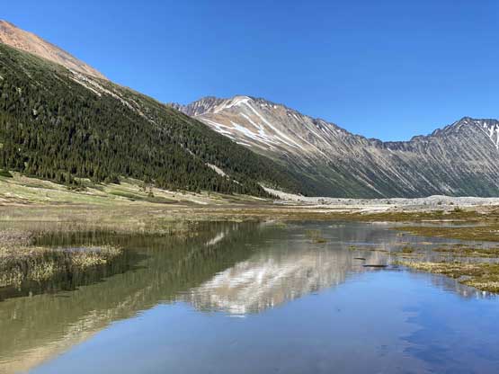
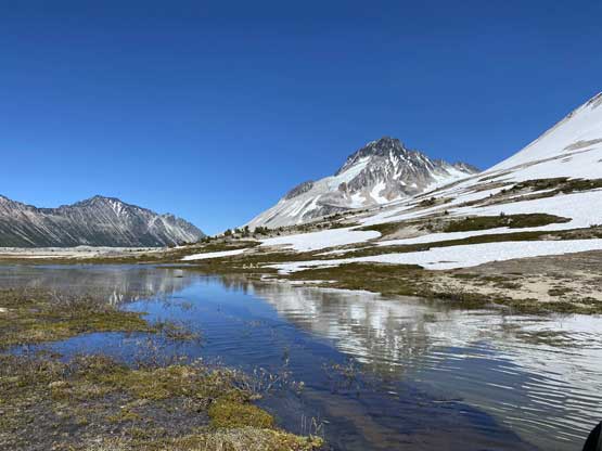
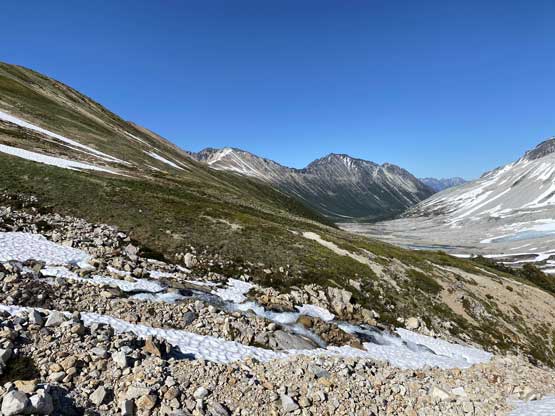
We wasted no time on the summit because the time’s ticking and we must finish the traverse towards Ochre Mountain and descend back to camp, ideally with spare daylight to cook our dinner. After dashing down the ridge to the ditched backpack we continued the gradual descent towards a couple partially-thawed lakes near what’s called “Salal Creek Volcanic Complex”. We did not bother to ascend that nor the unofficially-named “The Elephant” and instead, we aimed at the ridge top just to the north of “The Elephant”, and once there we resumed the traverse towards Ochre Mountain.