Grant Hill
November 28, 2019
335m
Maple Ridge, BC
Grant Hill is a lowly, but officially-named wooded pimple on the north side of Fraser River right next to the city of Maple Ridge. It’s pretty much on the boundary of what’s so-called Metro Vancouver and is actually lower in the elevation than Burnaby Mountain.. A fire road runs up its gentle southern slopes and the summit is occupied by a large communication tower structure, and offers absolutely zero view whatsoever. This summit is a true dumpster dive. There are however, multiple trails that runs up and down its slopes and to attain its summit one does not have to bushwhack, nor to walk up the boring fire road… There’s at least one aspect different from dumpster diving….
The original plan for this Thursday morning was not Grant Hill but I was too exhausted from work to handle another night of minimal sleep. My alarm did run at the early hour but I turned it off immediately and slept in till 10 am. I still wanted to take advantage of the bluebird weather but at this point I was running out of options besides the bumps in Metro Vancouver. I had to be back to White Rock by 3 pm at the latest. I still didn’t want to bag Burnaby Mountain yet so picked Grant Hill. The Google Map estimated less than 1 hour’s drive to Maple Ridge and that sounded exactly what I wanted. Of course I couldn’t just leave home right away as I yet needed to have lunch and pack my shits.
Grant Hill hiking route. GPX DL
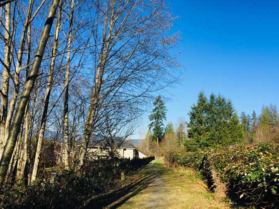
I eventually left home at 11:30 am and made to the base of Grant Hill in less than an hour. The traffic through Langley, over Golden Ears Bridge and through Maple Ridge wasn’t too bad, but had lots of annoying constructions. The map of my Gaia app showed multiple trails that run to the summit and I randomly picked the one that started from the lower west side of the hill. The “trail-head” had no designated parking lot so I just parked on the street and walked to the start. There were a lot of confusing trail branches but all of them were marked on my map so navigation wasn’t a problem. The trail led me switching between mature forest and secondary growth and was longer than expected. I was doing fine on time so opted to walk past the summit for another kilometer before turning back. The Arctic outflow wind was cold even in the forest at this elevation…
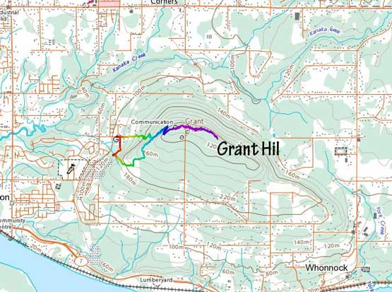
This is the start of the trail. It’s behind someone’s house….
After a while I hiked into what seemed like the Alberta flatlands…

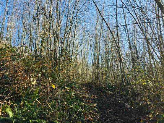
This is actually the typical view…

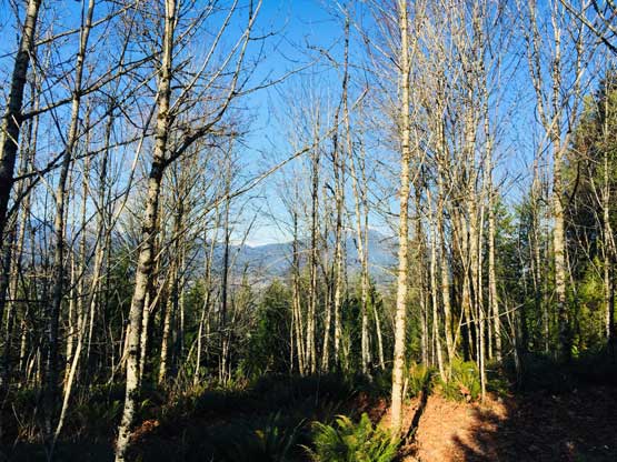
The upper portion was in the mature forest
As much as the views I got from the trail…
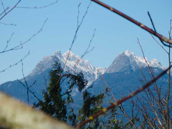
I had to try really hard to find a spot that I could see Golden Ears

Coquitlam Mountain was a little bit more visible

Me on the summit communication facility.

Another photo of me on the summit of Grant Hill…
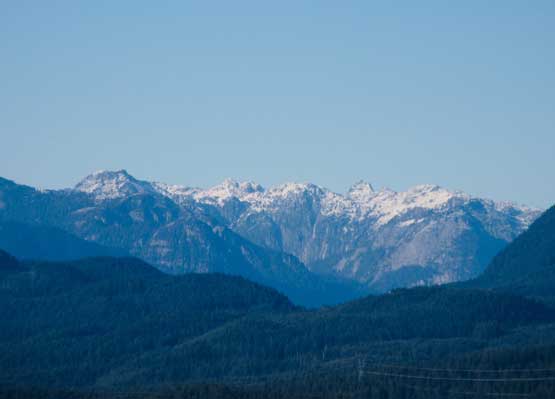
On the return hike I met a few mountain bikers running up and down the hill. Lower down I picked a more direct exit trail that brought me down to pavement much higher than where I started. As I walked down the pavement I finally got some unobstructed views of Golden Ears and Coquitlam Mtn. Ironically the best view of this hike was from the paved road at the bottom, while walking back to where I parked the truck…

The nice view of Maple Ridge and Coquitlam was from the road…

Golden Ears Group in the distance

This is zooming-in towards Burnaby Mountain and North Shore
These are some remote peaks north along Coquitlam-Pitt Divide

Golden Ears and Blanshard Needle/Edge Peak

Coquitlam Mountain and Widgeon Peak
I still had some extra time and debated about hiking the nearby Iron Mountain but opted for not. I decided to head back to work early and do some prep instead.
