Flat Top Mountain
October 9, 2021
2268m
Eastgate / Manning Park Area, BC
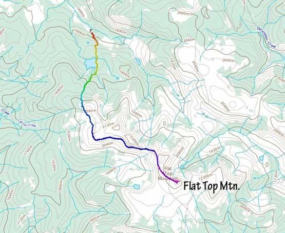
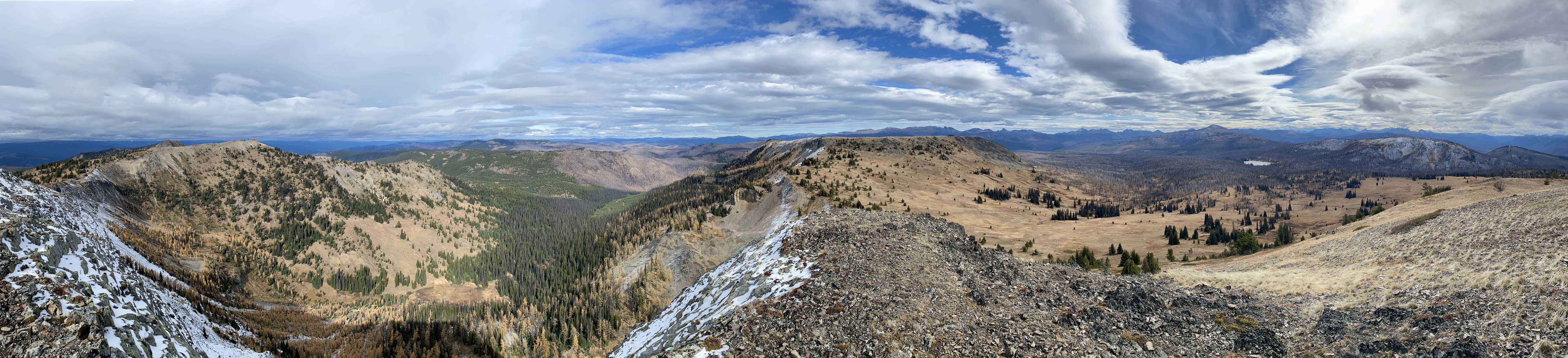
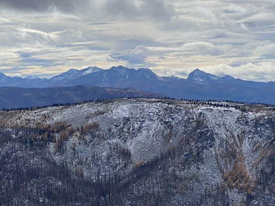
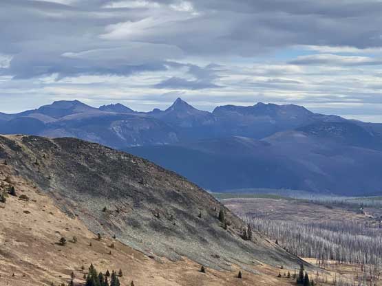
The area around Flat Top Mountain is more known for its abundant backroads for off-roading but this peak itself is decently popular for hiking. There’s a trail that runs to very much the summit from Placer Lake and the trail continues a ways down south towards B.C./Washington border. Placer Lake is accessed by a complicated, but not difficult logging road system from slightly to the north of Eastgate. As the name suggests, this is not a “sexy” peak but the summit is open and offers nice views into Cathedral Park, Manning Park and Washington’s Pasayten Wilderness.
I noticed this peak by simply browsing the maps and then I vaguely recalled that some friends had just posted a story about Flat Top Mountain a few months ago. This is not an “Instagram hotspot” but there are trip reports online and the trail and road system is all well-marked on the Gaia map. I decided at the last minute to take Angela out this way for a day because the weather was crappy anywhere closer to the coast. Even the forecast for this rainshadow area was “mostly cloudy” with hardly any chance of seeing sunshine. It would be nicer to just switch to another, sunnier day but Angela wasn’t nearly as flexible, so we went nonetheless. Little did we knew that this trip eventually turned out way better than anticipated. Angela and I left White Rock at 5:30 am, had a breakfast in Abbotsford and eventually made to Eastgate at 9 am. It started to snow pretty heavily for a while. I pulled over and checked the forecast again with the spotty reception and sure enough, the morning weather had downgraded to “flurries”. There’s already a coating of snow on some parts of the logging roads on the north-facing aspects. I had previously studied the maps and made the correct turns upon hitting one junction after another. The last stretch was rough but elsewhere was mostly a smooth-sail. I parked at the sign that said “vehicle access beyond is not recommended”. I probably could have driven my Tacoma all the way to Placer Lake in retrospect but I also don’t think driving would be much faster than hiking on that final spur.
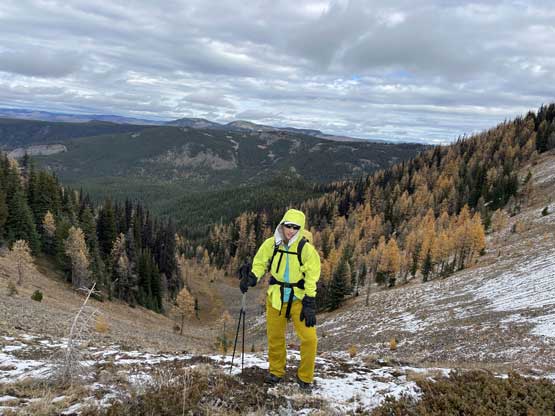
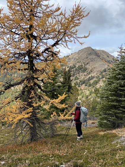
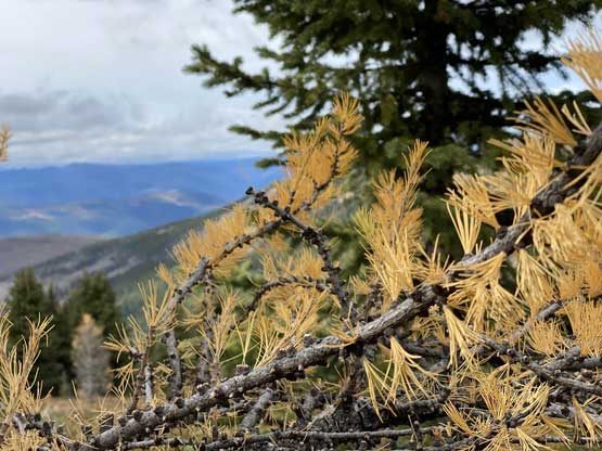
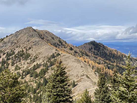
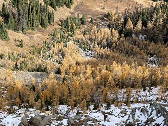
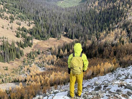
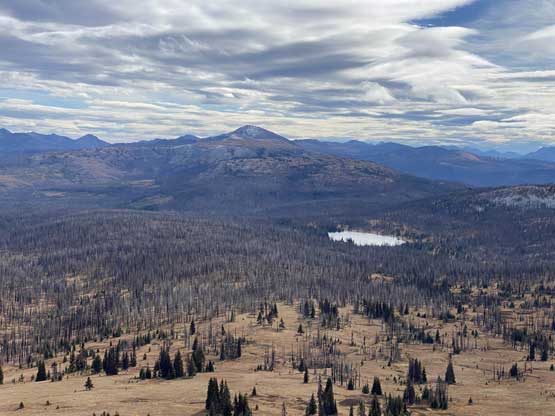
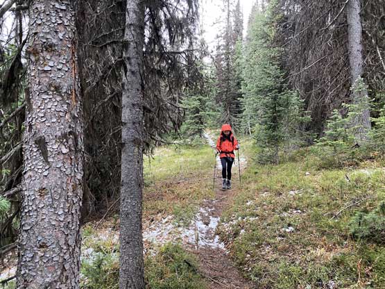
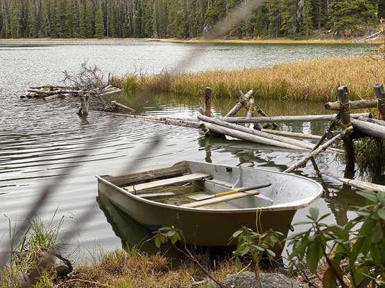
We started hiking in some light flurries but the precipitation stopped soon. In short time we made to Placer Lake. The view wasn’t as good so we found the trail and carried on. The next stretch was decently steep, covering over 300 m gain in just a bit over 1 kilometer. There were also a few annoying dead-falls to duck underneath or hop over. Eventually the trees thinned out and the views opened up at around 2050 m elevation and we started to plod across flat meadow areas. It’s at this point that we noticed the golden larches around. There weren’t a lot, but enough to give hope for the higher up zones. I had never heard Flat Top Mountain as a larch-hunting destination so this was a pleasant surprise. The trail then traversed across the south side of a subsidiary bump for a long while and once that’s over we reached a saddle. It was cold and windy, but the north side had a ton of larches that certainly boosted our motivation.


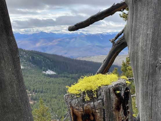


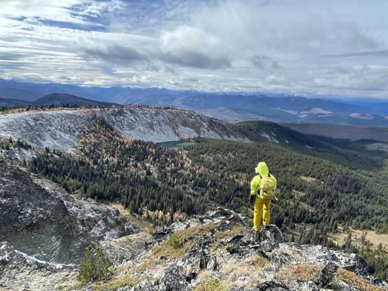
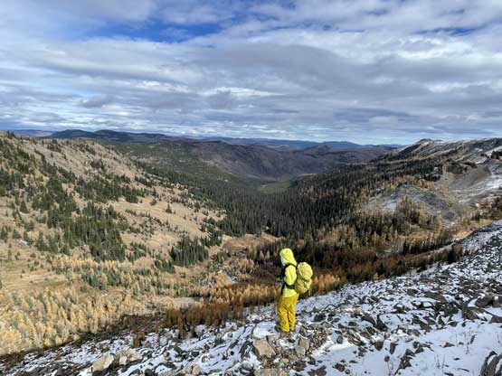
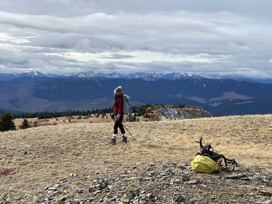
And then the cloud layer gave way to intermittent sunshine. We followed the trail traversing across the next bump to the broad NW Ridge of the final peak. The north side of this next saddle offered even better larches scenery. We took our time taking photos and then dashed to the summit. The final few hundred meters were off-trail. I sped up because I saw bands of clouds moving in rapidly and we managed to summit literally 3 minutes before losing sunshine. We then hiked south to find a sheltered spot to take the much-needed lunch break.


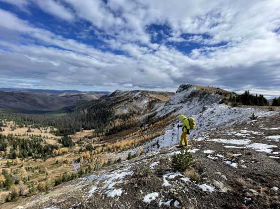


The descent was rather uneventful. Because of the cloudy weather we did not stop much for the larches views and the cold breeze kept us moving. I kept my winter parka on for a couple kilometers until I became warm enough. The snow and ice on the trail was mostly gone but the replacement was slippery mud.


Our round trip time was 6 hours on a very leisurely pace and now we had to face the long drive home. We did not lose daylight until past Hope but it was consistently raining from Manning Park all the way back. We made a decision to drive into Richmond for some late night dinner as there wasn’t really anything open in White Rock at 8 pm.
