Blacktail Mountain
August 30, 2019
2060m
Kalispell / Flatheat Lake, MT
Blacktail Mountain is a “P2K” objective in the Salish Mountains, about half an hour south of Kalispell in north-west Montana. There’s a small ski resort and a service road (gravel, but good 2WD conditions) that runs all the way up, and there are plenty of radio facilities on the summit. The actual highest point requires about 2 minutes of walking from the road’s end and the summit is mostly forested with limited views. This peak only attracts peak-baggers that are into prominence and almost everyone would simply just drive to the top as opposed to coming up with another method.

Blacktail Mountain drive-up. GPX DL
This was the first day of the “phase 4” of the 2019 peak-bagging road trip between Adam and myself. Earlier in this trip we had bagged a decent amount of quality summits in the Cabinet Mountains and Glacier National Park. After Mt. Cleveland we were both low on motivation and wanted to have some easier days. The plan was to simply have a rest day but Connor unintentionally mentioned some P2Ks south of Kalispell that could be done by driving to the top. Too bad.. That meant we had to drive around to find those P2Ks and the first one we found (on maps) was Blacktail Mountain. We downloaded some beta from peakbagger.com and directed towards the summit by Google Map app. The road was gravel but smooth-sailing that we literally cruised to the top in Adam’s Subaru. We got off the vehicle and easily walked to the highest point in sandals and then back to the vehicle, claiming a rather pointless summit.

The summit area has lots of ugly facilities
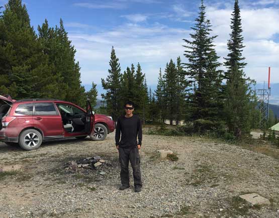
Me on the summit of Blacktail Mountain, with Adam’s Subaru behind
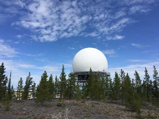
This is apparently some radio tower thing. Not sure what exactly it is for.
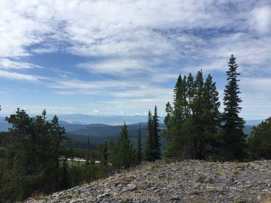
As much as the views from Blacktail Mountain.
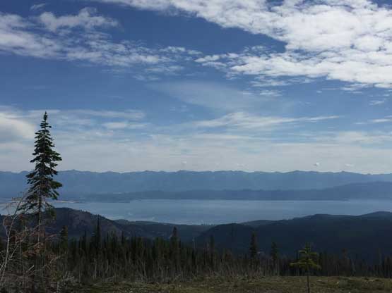
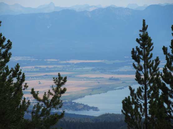
The view was actually better a little bit lower down. This is looking at Flathead Lake
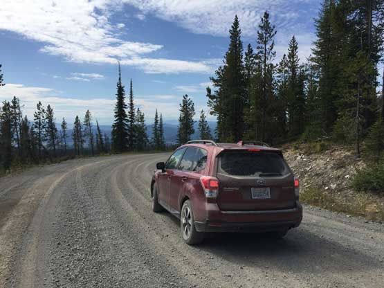
Adam’s Subaru on the road. This is totally a mechanical ascent
The northern tip of Flathead Lake with the southern Glacier N.P. peaks behind
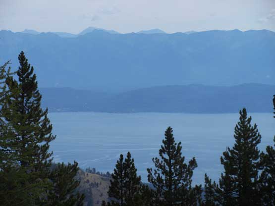
One last photo of Flathead Lake before driving down.
This peak is so boring that I barely managed to take 10 photos from the top. And because of the heavy radio activities we drove down quickly and then I directed the Google Map app towards the next objective – Irvine Peak.
