The Wedge
July 26, 2026
2660m
Kananaskis, AB
The Wedge is a classic scramble looming above Kananaskis Village and the standard route is well documented in Alan Kane’s Scrambles in the Canadian Rockies. For various reasons I never ended up doing it during the 4 years of living in Alberta but this objective had always been in the back burner of my list even after I moved to Vancouver in 2015. Eventually in the summer of 2026 I found an oppourtunity to finally tag it. I was lacking motivation and energy after completing Little Sister and Devils Head over 2 days but I still had time and the weather was still looking promisingly. I reached out to a few Albertan friends and Sophia bit the invite, and I decided for us to do The Wedge. Sophia had already participated in the Jumbo Group’s mountaineering trip so we sort of already knew each other.
Sophia was keen on an early start given the heat during the day and I reluctantly agreed. I simply slept on the passenger seat of the Corolla behind the Casino and met Sophia the next day at 5 am. I was still very tired and sleepy. Sophia offered to drive me to the trail-head and that saved me from having to purchase the Kananaskis’ park pass. As someone from the west coast I’m not really used to the red tape bullshits in the Canadian Rockies anymore.
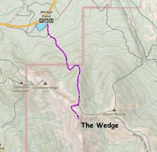
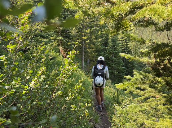
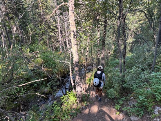
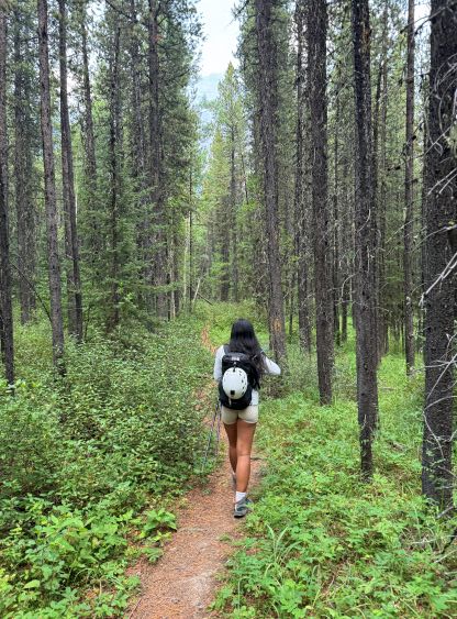
The parking was at Wedge Pond and the start of the route was confusing to say the least. There’s a maze of trails and at least one major camping area, but in this modern era the navigation should never be a problem anymore. Sophia was holding her phone using AllTrails whereas I was staring at my own screen on the Gaia GPS app. In no time we were plodding up the increasingly steep access trail. The quality of this trail exceeds most of the official trails in my home region so I personally wouldn’t call it an “access trail”. The ascent was unfortunately boring and monotonous as we had absolutely no view until breaking the treeline 3/4 of the way up.
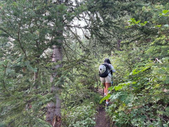
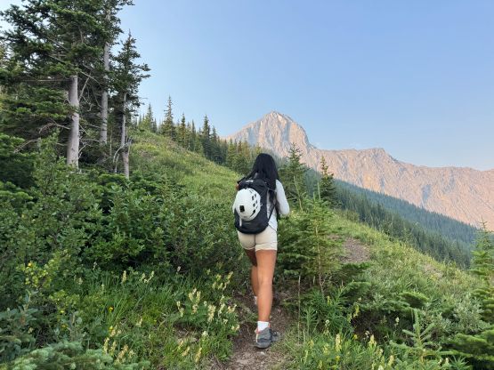
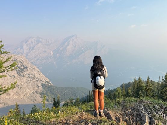
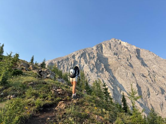
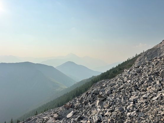
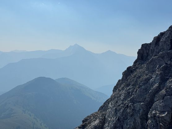
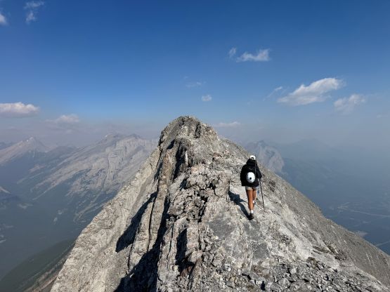
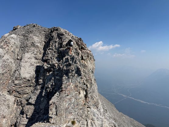
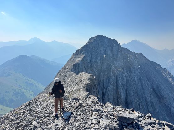
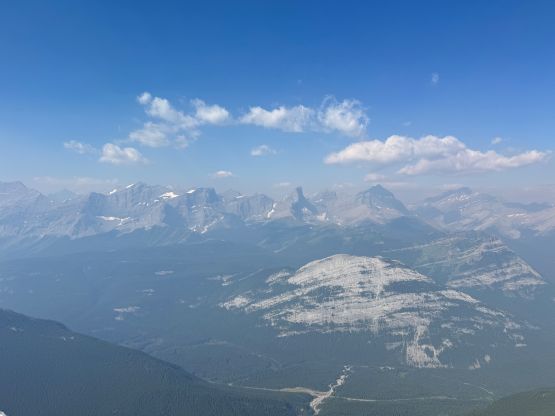
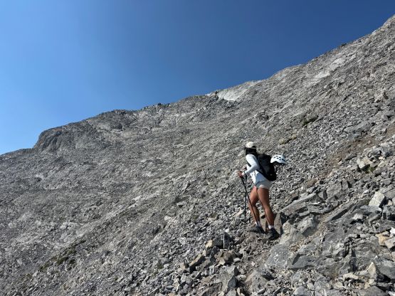
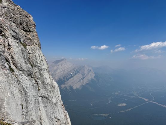
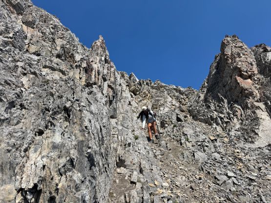
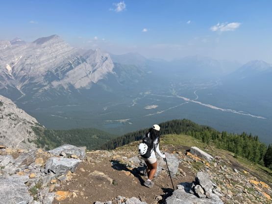
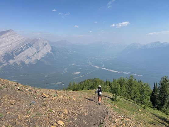
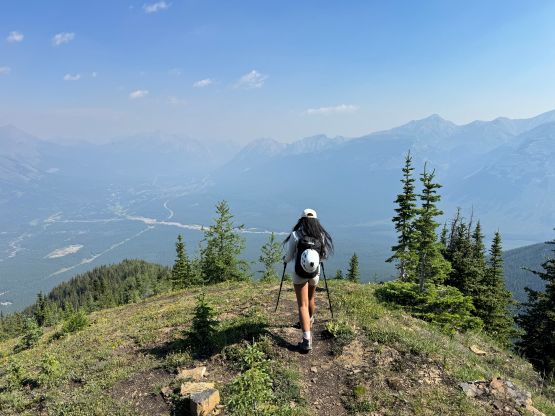
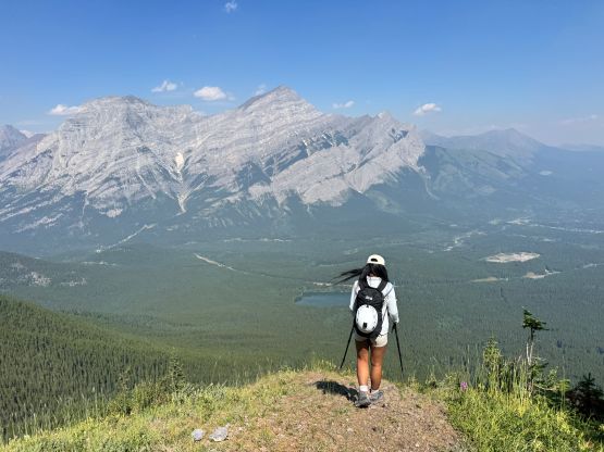
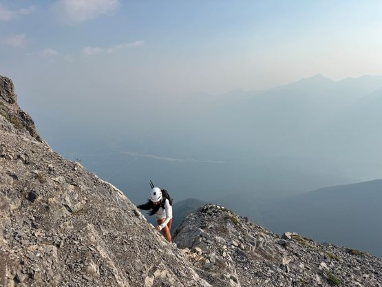
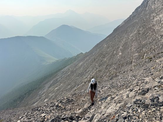
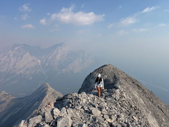
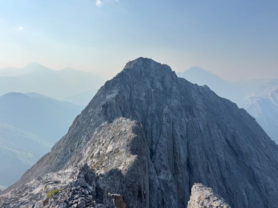
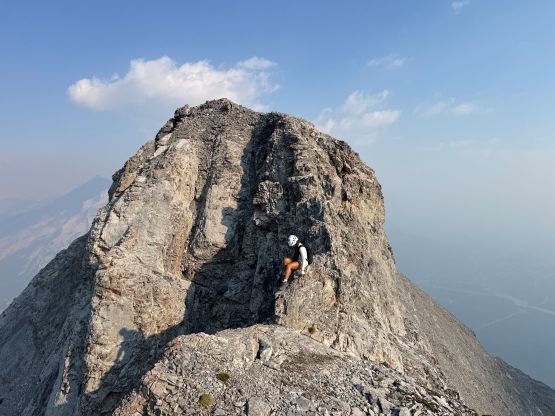
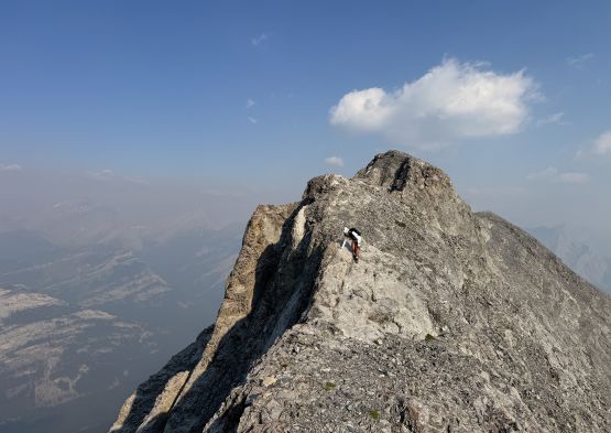
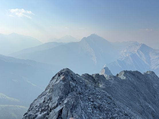
We followed the most obvious path to the start of the scramble. Needless to say for an objective like this I did absolutely zero research and the entire decision making process was based on the my own experience in the route-finding. I did have the Gaia’s public tracks loaded so I roughly knew where everyone else went. The start of the scramble was more confusing than I thought as the terrain forced me to traverse/ascend towards climber’s left, but the tracks were mostly staying on the right. I eventually listened to the public tracks and led a somewhat exposed traverse towards climber’s right and that brought us onto the NE Ridge where an obvious path existed. I’m sure Alan Kane had documented this section in his book but I never spent the time reading. The traverse to the true summit definitely involved some knife-edges but the scrambling was no worse than “class 3”. The knife edge felt worse on the way up since I was staring at the exposure. The true summit was a ways back along the ridge so the traverse took a while. Sophia and I spent an hour on the summit since we were tired and the smoke situation seemed to be improving. Looking at my own pictures I think our judgement was correct, that the percentage of blue colours in the sky was indeed gradually increasing.
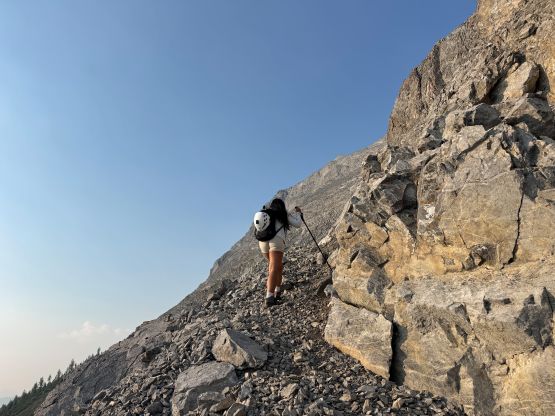
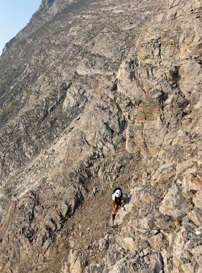
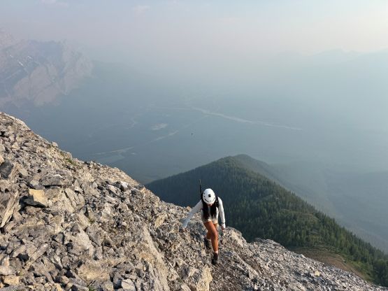
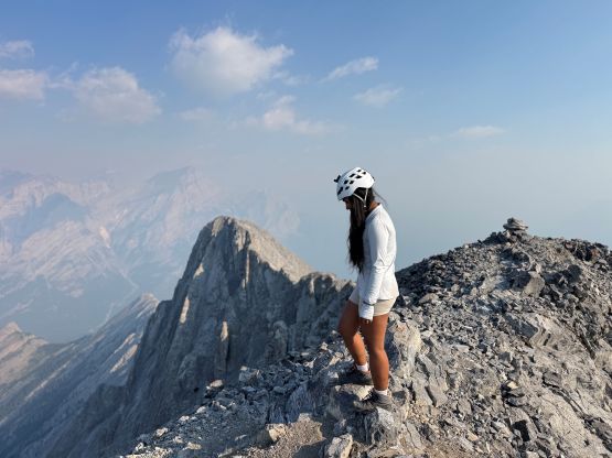
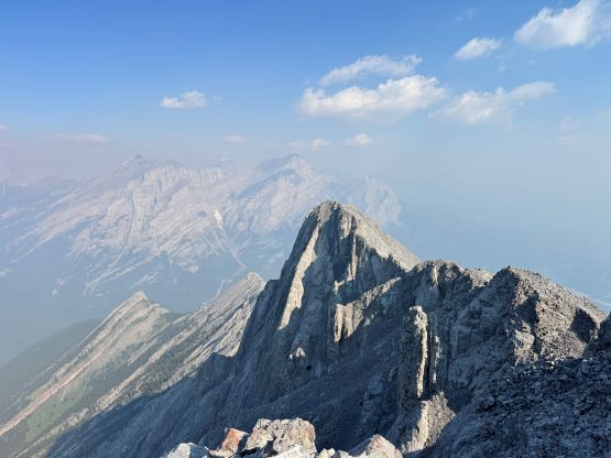
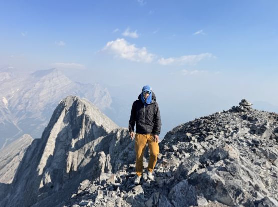
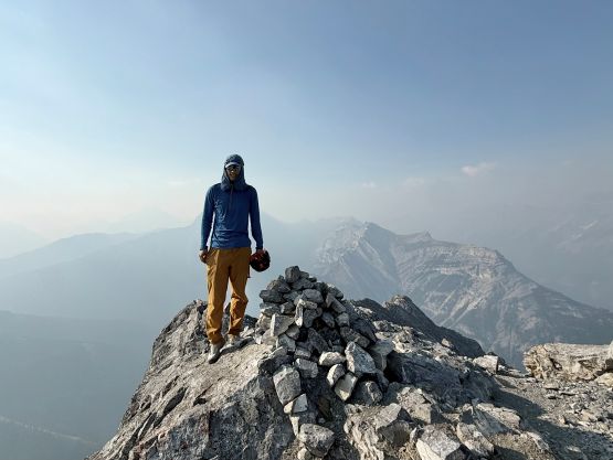
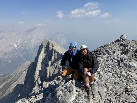
Eventually it was the time to start heading down. Sophia had some city commitments in the afternoon and that’s another reason why we picked such a short objective. I was already contemplating about doing another objective on my own since The Wedge itself wouldn’t be able to fill in the day. Sophia set a good pace down the steep and boring trail and we completed the round trip in 5 hours 20 minutes. We only met two parties on their way up so this wasn’t as busy as an objective as I thought. This was a sunny Sunday, after all. I opted to have lunch first while thinking about the plan for the rest of the day, and the decision was eventually made to solo Observation Peak on the Icefields Parkway. This was another summer without the National Park’s fees so I might as well take advantage of that.