Crowfoot Mountain
April 7, 2012
3050m
Icefield Parkway (South), AB
Crowfoot Mountain is a fairly major, but relatively straightforward winter ascent on the edge of Wapta Icefield (not actually on the Icefield). It’s also my first trip walking on a glacier. Technically it’s a mountaineering ascent but mom and I did it in a scrambler’s way. The spring of 2012 had lots of snowfall and the glacier on Crowfoot is relatively tame so we didn’t have much to worry. The temperature dropped to -19 degrees at night at the Bow Lake parking lot… And this was definitely the coldest night I’ve ever experienced in the Rockies yet.

Crowfoot Mountain winter ascent route
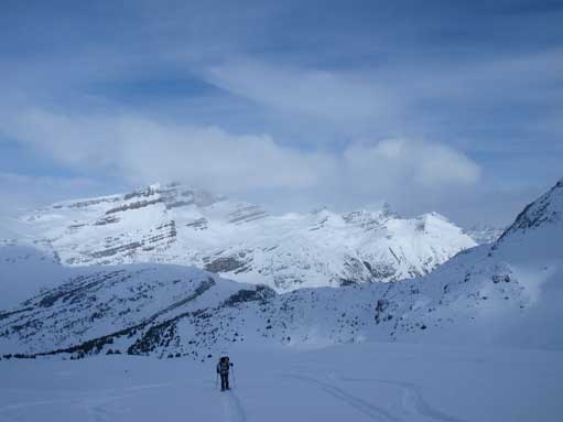
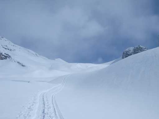
The crux of the day was to get everything started in the morning, including eating frozen food, drinking water ice mixture, and wearing snowshoes. The approach was via the popular Bow Hut ski approach and we were lucky to have a highway of tracks to follow. There’s essentially no route-finding but given the fact it’s my first time visiting this area we still had to pay extra attention. I did lots of homework studying the route description and we had no issue following the sequence: lake crossing, first canyon bypass and then through the second canyon (terrain trap). After exiting the second canyon we paid close attention to the tracks leading uphill on climber’s left. We located them correctly and they led us out of the trees onto the (very foreshortened) slope and ahead would be the high col on Crowfoot Mountain.
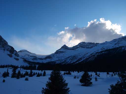
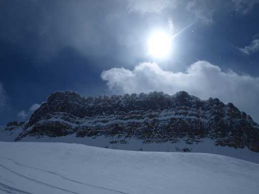
This was taken in the evening of April 6. The weather was actually better on Friday.

Across the arctic Bow Lake in the morning. Nice morning view.

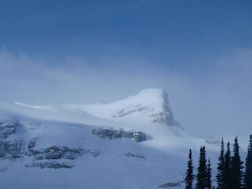
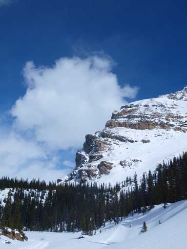
Portal Peak looks impressive

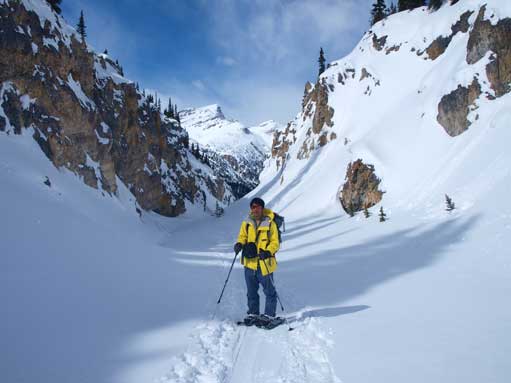
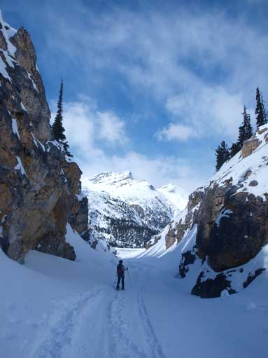
Going through the canyon, the terrain trap
St. Nicolas Peak
The plod took us a long while even though we didn’t need to do any trail breaking by following the skin tracks. From the col, there’s still a long way to go. We again, followed skier’s tracks zig-zagging up the huge slope. Unfortunately the weather was getting bad now and Mt. Balfour never showed up for us. Once topping out on the summit ridge I removed the snowshoes and easily ascended to the summit. There were a few large cornices to avoid and mom was quite a ways behind me so I didn’t linger too long on the top (no views anyway). I joined mom on the summit ridge and we waited about 1 hour but there was no sign of improving and we decided to head down…
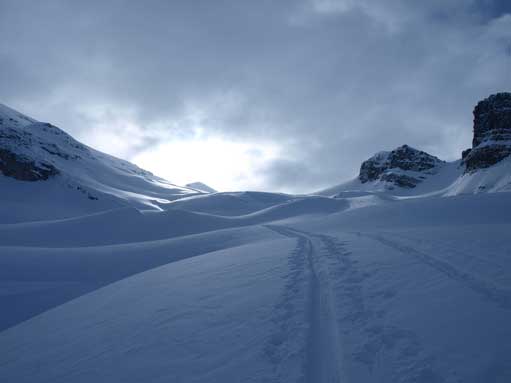
The foreshortened view. It takes a long time to clear this slope
St. Nick again
Mom trudging up the slope, with big views behind.
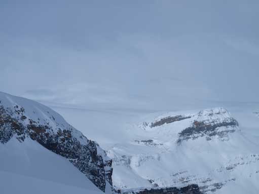
More views. Apparently it would be a white-out on the Wapta Icefield

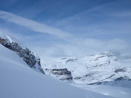
Now we were about to enter the glacier.
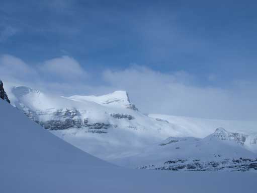
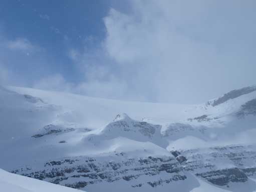
Another look at the Wapta Icefield
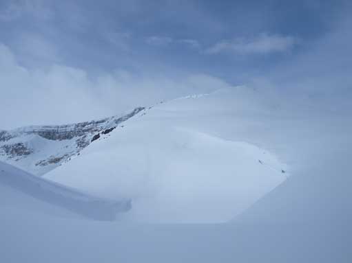
At Crowfoot/Little Crowfoot col, Little Crowfoot on right.

Mom following me up the upper slope, with Little Crowfoot being the small bump behind.
On the summit ridge now

Looking down to Bow Lake, where we started the day.

Summit view looking towards Olive and Vulture
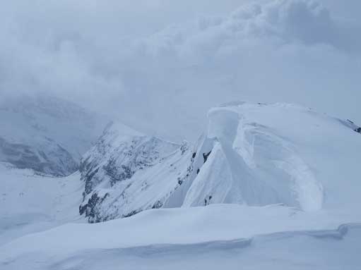
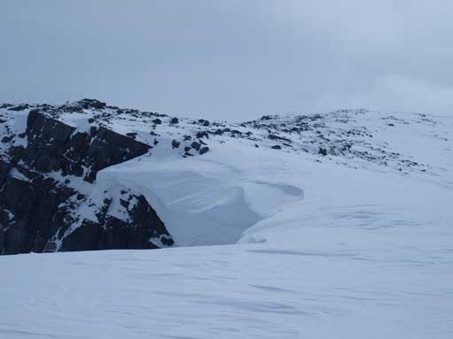
There was a big cornice on the summit
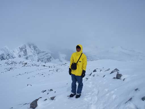
Me near the summit
Snowshoeing downhill was definitely much slower than skiing down, but I would say it takes very little energy anyway. The weather improved significantly one hour later, and I took lots of photos on the way back to the parking lot.
Bow Hut at center of this photo. Blue colours started to show up as we gradually moved down.
Now the sun showed up
Looking back at the slope.

Retracing our up-tracks, with The Onion behind.
One last view of Crowfoot’s big slope

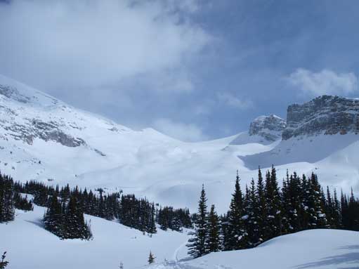
The standard route up Bow Hut goes into this cirque/bowl, and then up a big slope on climber’s right.

Time to go back to our camp (car). Jimmy Simpson in the background.
Me in the canyon
Going out through the canyon
An northern outlier of Crowfoot

Back to Bow Lake now

Gorgeous view of Crowfoot Mountain from Bow Lake

More views from Bow Lake. Bow Peak on the far right, with Hector behind it.
Our round trip time was just about as expected and I felt especially good to tag my first summit with glacier ascent. And now with improving weather it’s time to rest and get ready for the ascent of Wapta the next day.
