Chiricahua Peak
March 21, 2023
2975m
Chiricahua Wilderness, AZ
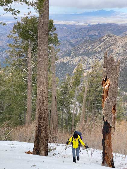
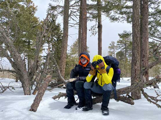
Chiricahua Peak is the highest summit in Chiricahua Mountains and boasts over 1500 m prominence making it one of the 5 “ultra prominent peaks” in Arizona. The ascent is however, no-brainer with hardly any challenge. The standard route goes up from the west side via either Mormon Ridge trail or Mormon Canyon trail and can be done in any time of a year. The winter of 2022/23 saw some significant amount of snow in the deserts such that snowshoes wouldn’t be a bad idea for the final few hundred meters on the NW Face. This was the 4th day in the trip. Nikita, Raphael and I opted to leave the snowshoes in the vehicle but encountered some arduous post-holing.
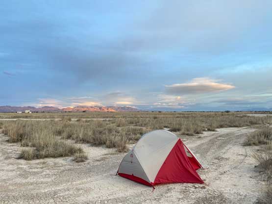
After finishing Mt. Graham in the previous day we found a free campground not far from the town of Willcox and we got the tents erected after sunset. The forecast was calling for over 90 km/h wind gusts on the summit but I didn’t have much concern as the route would mostly be in the forest, sheltered from the winds. The camping area, though completely open, was surprisingly calm so we all got some decent hours of sleep. The alarms were set at 6:30 am and we eventually got to the trail-head near the end of Turkey Creek Road in less than 2 hours. One flooded stretch about 5 km from the trail-head made me get out of the vehicle to inspect. The water was about 1 foot deep, but the road’s bed was hard and not muddy, so we took our chance and drove through.


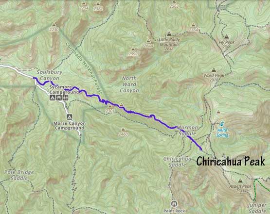
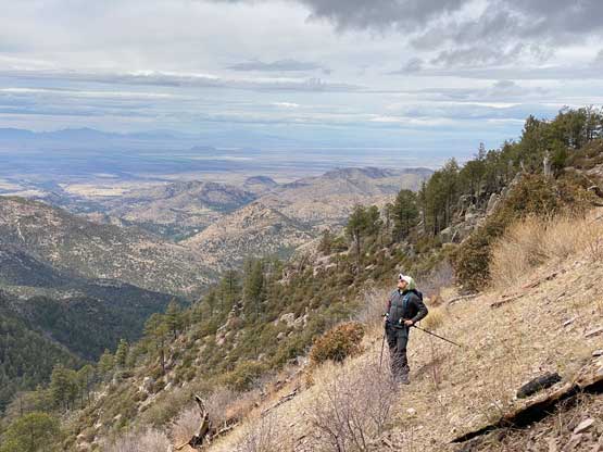
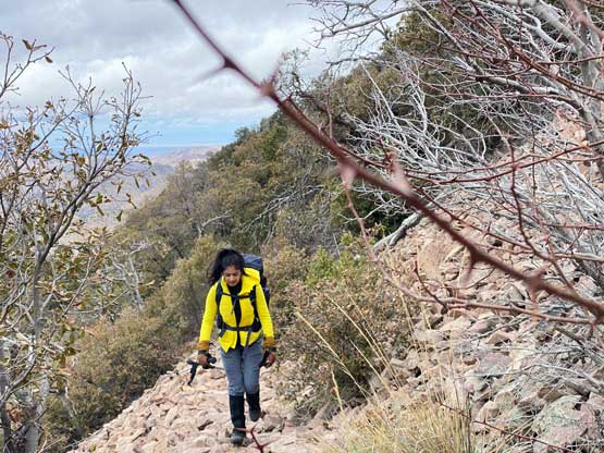
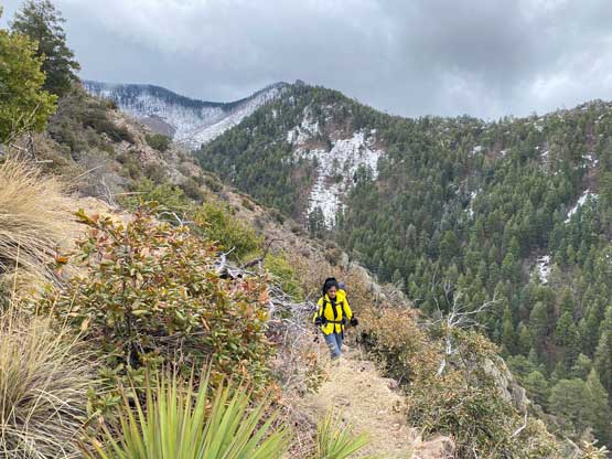
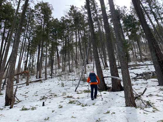
We decided to take the Mormon Ridge trail following Matt Juhasz’s recent GPX track. I was very tempted to take the shorter and more direct Mormon Canyon trail but I figured the ridge variation would give better views. The crux of was to cross the raging creek not far from the trail-head by balancing over a sketchy log. I walked across while the others more-or-less went for an au-cheval. The trail on the other side of this creek was easy to follow and there wasn’t much worth documenting. It was a seemingly never-ending plod. We tried to take short-cuts but mostly regretted as the bushwhacking wasn’t very pleasant in the area. A long while later we arrived at Mormon Saddle and throughout this entire ridge ascent the winds were “reasonable”.


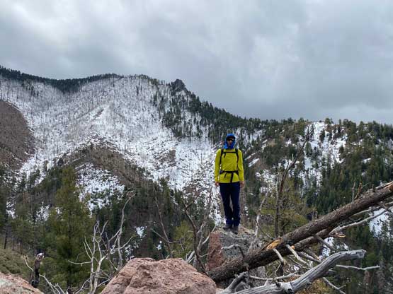
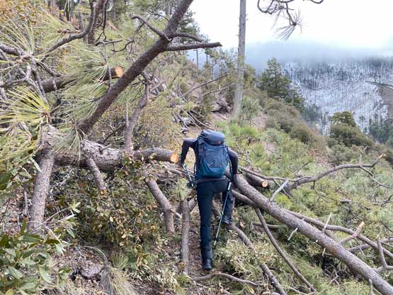


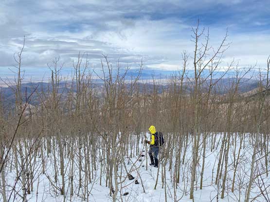
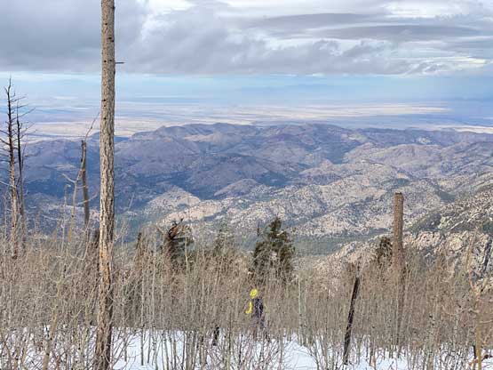
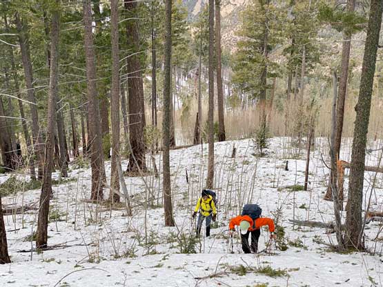
The entire NW Face of Chiricahua Peak was still covered in snow but I anticipated the trail traversing to Chiricahua and then Junction Saddles to be packed by hikers. I was totally wrong. There wasn’t any recent track so we might as well keep following Matt’s GPX track aiming straight up the NW Face. I didn’t even bring gaitors and that was a mistake. The knee+ keep wallowing soaked my shoes in no time and my feet were cold. The snowpack was mostly supportive except for the shallow spots, so we were able to keep going. The worst was one bushy stretch not far from the summit where I went down and crawled through like a dog. That was the only way to avoid crotch deep wallowing. The true summit was forested with hardly any view.

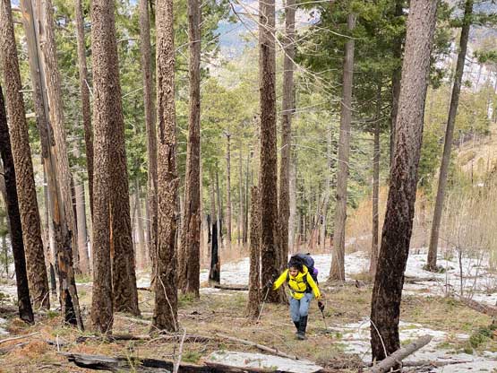
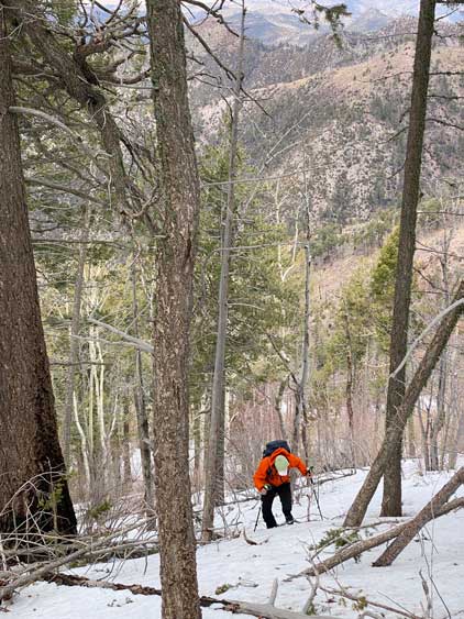


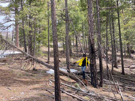
The post-holing on the descent was considerably worse and we all walked like alcoholic drunks. At least it didn’t take us too long to descend down to Mormon Saddle. I had to clean my shoes and shake out any snow crystal that hadn’t melted. The rest of the descent was long and boring. Nikita as usual, ran ahead while Raphael and I took our time. Nikita waited at least 30 minutes for us at the trail-head. While descending Raphael and I checked the various forecast models and made the final decision to keep the original plan for the last day, to scramble Dos Cabezas Peaks despite the 110 km/h wind warning. We thought about to downgrade to Silver Peak but decided to just embrace the wind.