Evangeline Peak
November 8, 2014
2572m
Ya-Ha-Tinda Ranch, AB
After spending last weekend at home catching up school work (and missing out a bluebird day in the mountains), Ben and I were keen to get out. Weather forecast for this Remembrance Day long weekend was kind of a mix, with the first day (Saturday) seeing some typical Rockies’ shoulder season weather and the last day (Tuesday), a potential high pressure bluebird, but extremely cold day. In between there’d be a major snow storm hitting pretty much everywhere. It didn’t take us long to make a decision to do two separate day-trips. Vern would join us on Saturday’s trip and we finalized our objective on the unofficially named Evangeline Peak by Ya-Ha-Tinda Ranch, just to the east of Banff Park boundary. This is a somewhat obscured corner in the Rockies for scramblers but Ben and I had done two trips in this area last year (Wapiti Mountain and Otuskwan Peak).
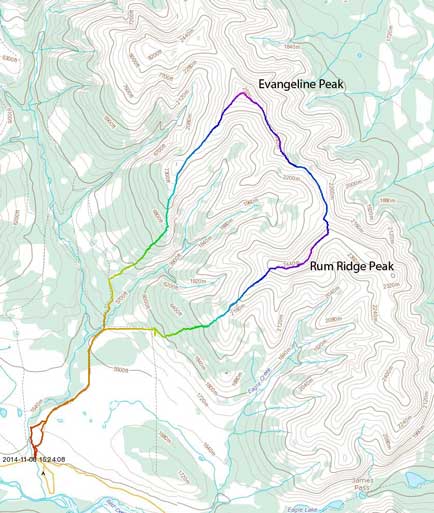
Evangeline Peak to Rum Ridge Peak scramble route. GPX DL
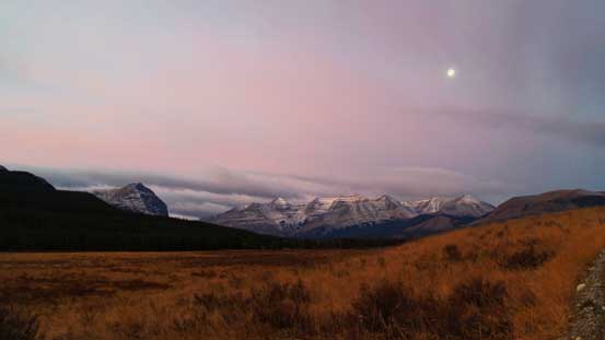
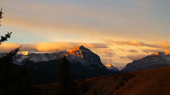
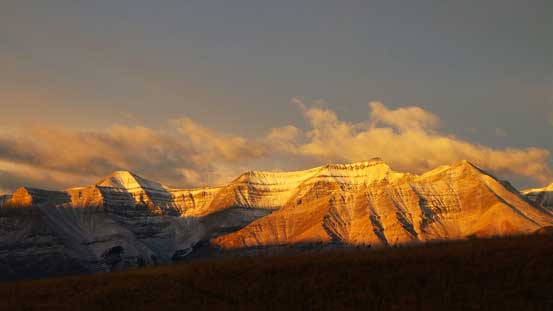
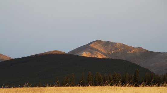
Evangeline Peak falls in the category of “front range, technically easy but not very short”, and our reference was Dave Salahab’s brief trip report on bivouac.com. It’s the highest summit on a long chained-ridge that runs from James Pass (near the Ranch) northwards to Clearwater River, and certainly deserves more attention. The gravel road leading into Ya-Ha-Tinda area was in a better shape than what I remembered from a year before, and we made to the trail-head by Bighorn Campground just before Alpenglow time. Right at the start we were treated with awesome morning views, with the giant Wapiti Mountain stealing the show.
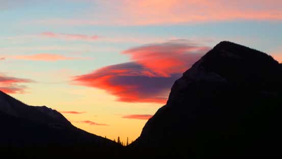
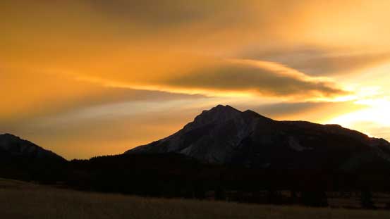
Gorgeous morning colour over Labyrinth Mountain
Looking towards Wapiti Mountain just before alpenglow.
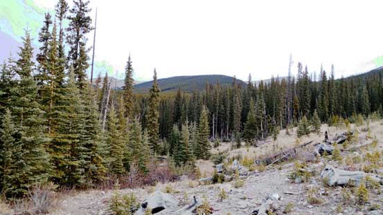
Our day started by following an obvious ATV road leading uphill paralleling Bighorn Creek on the east side – wide and open but has quite a few unsigned branches. We took a wrong turn at one point and lost the trail. But on the upside the “wrong branch” led us to an impressive waterfall. After snapping a few pictures we cut sharply eastwards on easy grassland, and re-joined the trail not far up. Following the trail up we soon arrived at a Bighorn Creek’s tributary. We crossed it and picked up another trail on the opposite side. This trail led us zig-zagging through a few clear-cuts before merging to a (much wider) horizontal cut-line. Here we left the trail and for the next 2 km or so we’d bushwhack straight up the forested slope. Except for dead-falls the bush was very tolerable and we made progress quickly.

A neat waterfall. I was told it’s regularly climbed in winter.

A memorial plaque on a chair.
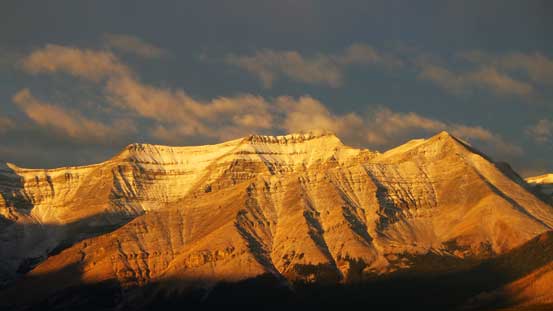
Warden Rock on alpenglow
Morning light shone on Wapiti Mountain.
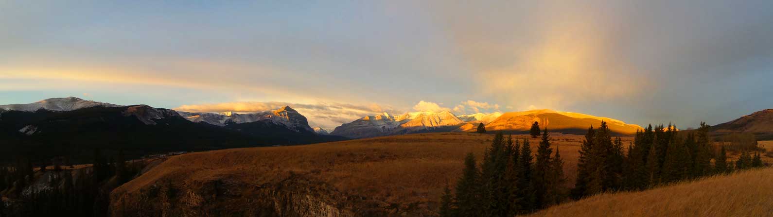
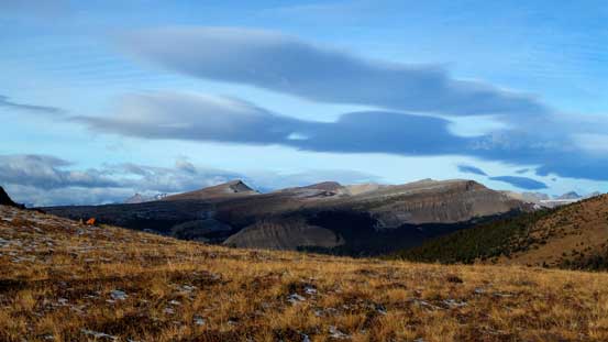
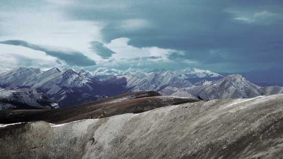
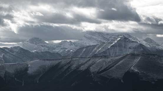
A panorama of the mountains by Banff Park boundary. Click to view large size.
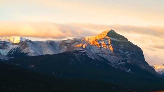
A closer look at Warden Rock

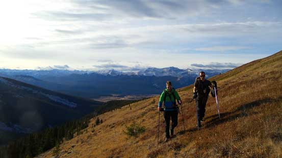
Ben and Vern taking in the views
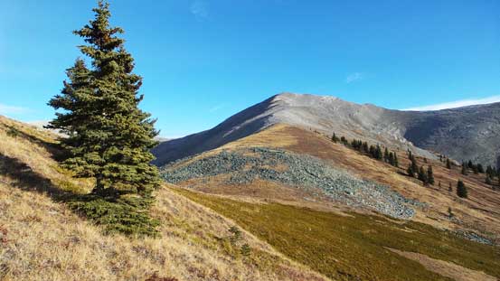
Maze Peak is another easy scramble.
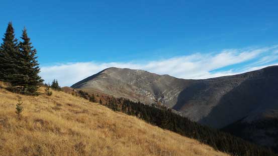
This is our objective – Evangeline Peak. It’s as easy as looks.
A closer look at Wapiti Mountain. Ben and I bagged it last year in October.
Ahead is the treed slope we’d ascend. Doesn’t look very exciting…

Utilizing a series of clear-cuts to minimize bushwhacking
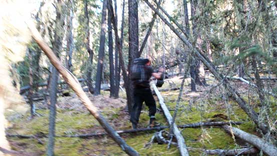
This sums up the bushwhacking – wide open forest but lots of dead-falls
Things really started to open up just before hitting the first bump at treeline. We made a call to side-hill around it rather than gaining/losing height and it worked out nicely. From now on it’s simply putting one foot in front of another and eventually we’d arrive at the summit. The slope was very foreshortened though and we knew we had to get higher than the peaks immediately to our left or right. Weather was much better than expected and we were treated with lots of sunshine and not much wind. Wind did pick up once we made to the top though.
View started to open up. Weather was also better than expected.
Ben and Vern on the grass slope. We side-hilled around that treeline bump.
We were also surprised by the dryness in this area. Can’t believe it’s November…
Ben hiking up typical terrain.
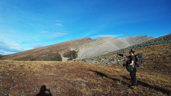
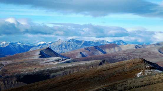
Pointing out some distant interesting peaks. Mostly unnamed though.
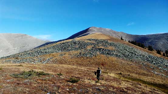
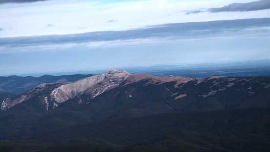
The highest summit in this group should be Scalp Peak
Higher up on the slope
Vern ascending easy terrain

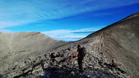
The final push
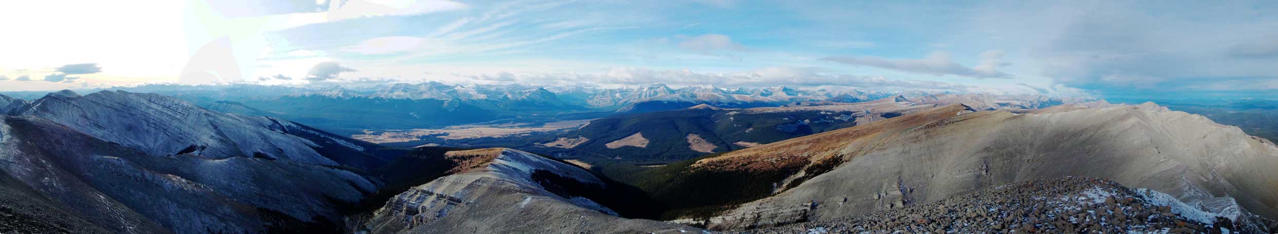
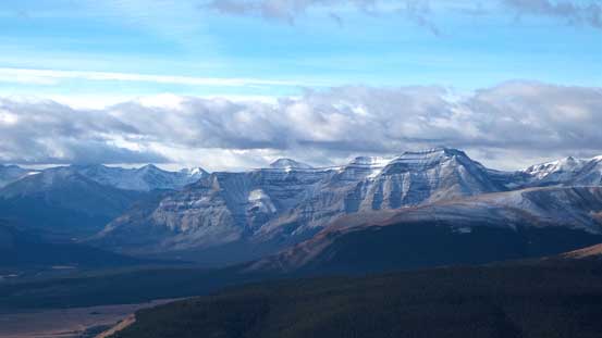
Summit Panorama looking towards the mountains. Click to view large size.
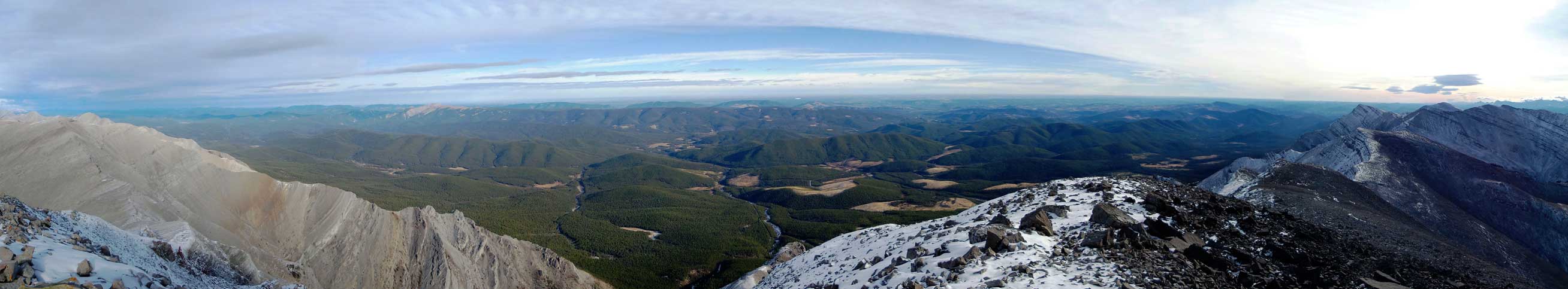
Summit Panorama looking towards the prairie. Click to view large size.
Zooming-in towards David Thompson – a sea of front-range peaks.
Most of these peaks are unnamed.

This is the gap between Warden Rock and Wapiti Mountain – a gateway to access Banff Park.

Barrier Mountain is on my ‘list’.
Some big peaks behind Dormer Mountain. I think it’s the unofficial “Puma Peak”
Limestone Mountain in the foothills. There’s a ATV road leading to its top.
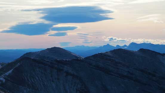
Looking south. Behind Rum Ridge Peak (right) on the skyline are peaks in the Ghost.
One more picture of Wapiti Mountain

The grassland in this area are massive – no wonder why horses like here.
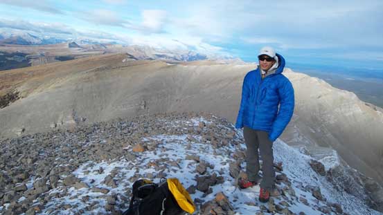
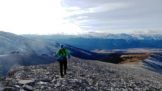
Me on the summit of Evangeline Peak
Earlier in the day we already decided to extend our day by traversing to the summit at about 4 km to our south-east. Rum Ridge Peak is not much lower than Evangeline in terms of height, but a lot more fun and offered some nice hands-on scrambling.

Very nice. I have plan to do this peak this summer 2006. Only distance hold me back. 😦