“Independence Peak”
September 18, 2026
1657m
Mountain Loop Highway, WA
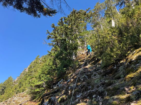
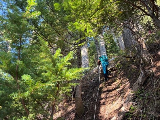
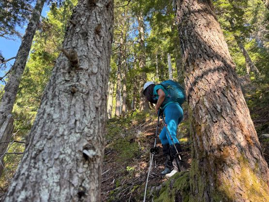
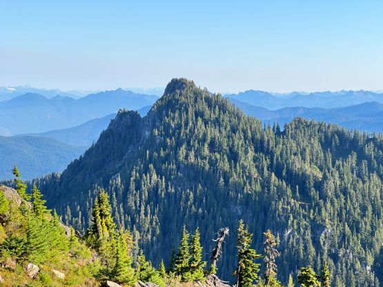
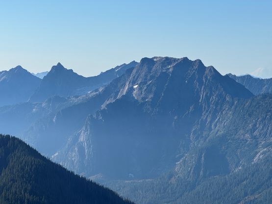
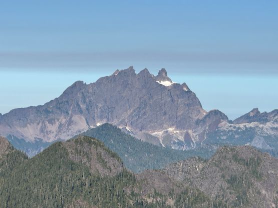
This is an unofficially named peak but boasts almost 400 m prominence making it one of the objectives in the vicinity of Mountain Loop Highway that kind of “stand out”. Most of the peaks in this area are difficult due to the extremely thick brush combined with vertical bluffs but this one is an exception. The summit does require some scrambling but the approach is largely free of bushwhacking. Traditionally the approach is from Helena Ridge but such route is contrived. The direct attack via the SE Face from Pass Lake makes more sense nowadays especially since a climber’s path has been developed with at least half a dozen juicy batman ropes installed.
I actually had this objective in mind for a while mostly because it’s “easy”, short and could be done as a before-work trip. Combining that with the fall colours hunting would make even more sense. The drive would take more than 3 hours each way from White Rock so the decision was still to camp at the trail-head. Kate’s vehicle wasn’t available in this trip so I drove us down there after finishing the previous day’s work, arriving at around midnight. The winding Mountain Loop Highway was always longer and more tedious than expected and the FSR also took a while. The road condition was excellent though. The trail-head for Pass Lake was poorly marked with hardly enough room to park even one vehicle so we parked a short ways back at Coal Lake trail-head. This was consistent with the preloaded GPX track.
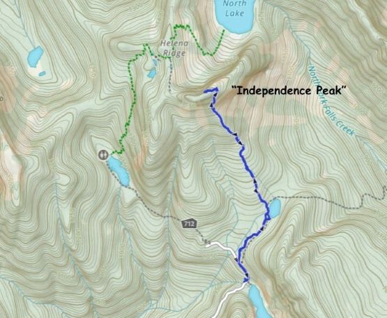
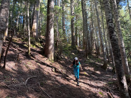
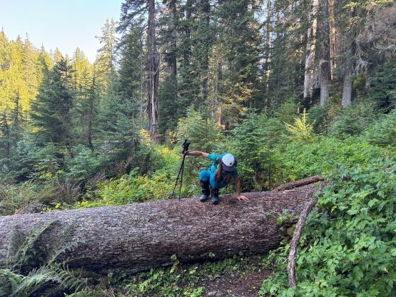
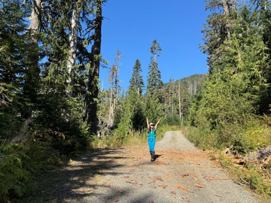
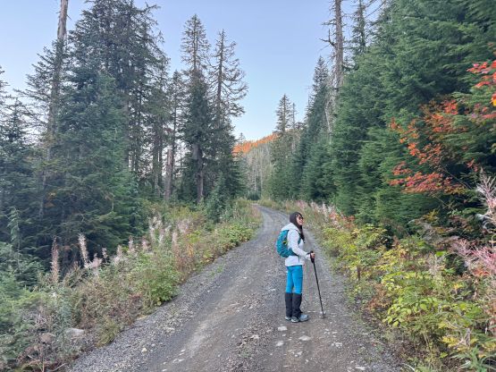
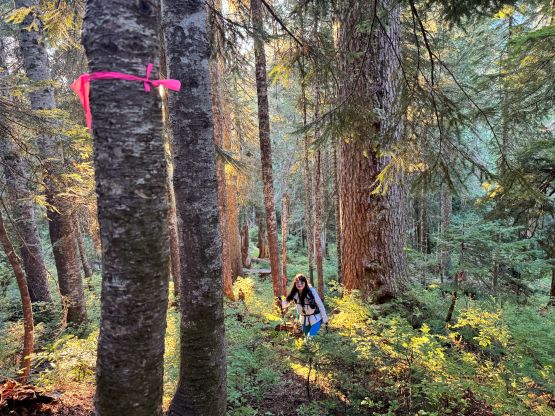
The next morning we leisurely got up at 7:30 am in order to start no later than 8:30 am. I figured this would be the latest possible time without jeopardizing the work in the afternoon and I was more or less correct. I desperately needed to sleep as much as I could since working 5 hours after hiking 4 hours and driving 3 hours would be extremely miserable, if not impossible otherwise. This might not seem like an ordeal 10 years ago but I’m getting old now. While plodding up the FSR we actually missed the trail as it’s quite hidden from view. Thankfully I had the habit to keep checking the GPS screen and quickly realized the mistake. The trail was a little bit overgrown especially near Pass Lake so we got partially soaked from the morning dew. The climber’s path was actually quite easily located and honestly I was impressed about the quality of this path. It was flagged the entire way. I was examining the Gaia’s public GPX tracks and thought this must be a reasonable route since the tracks converge pretty well, but the quality still exceeded my expectation.
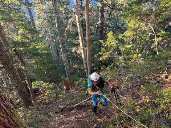
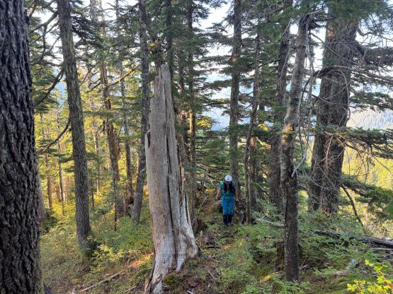
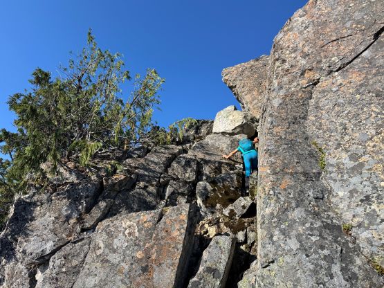
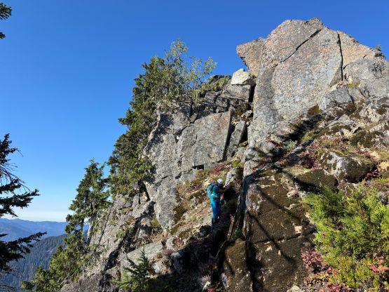
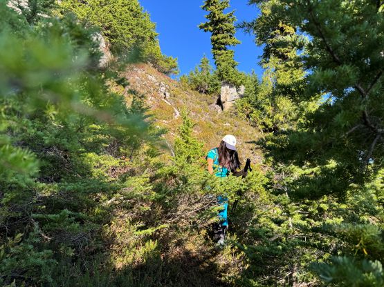
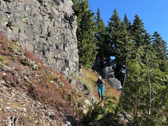
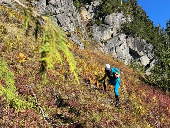
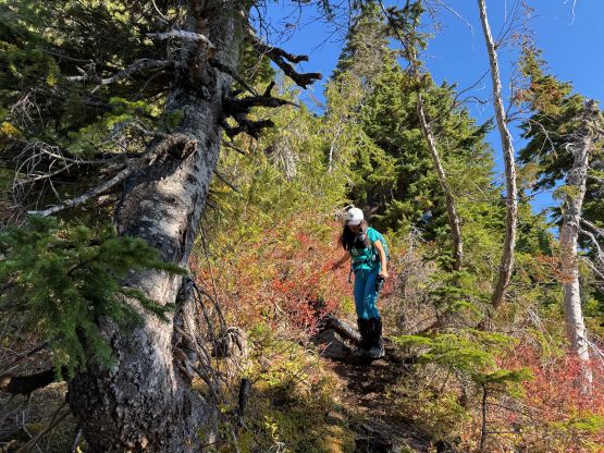
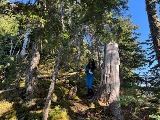
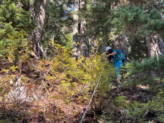
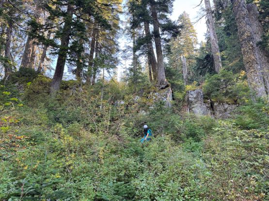
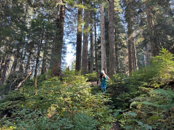
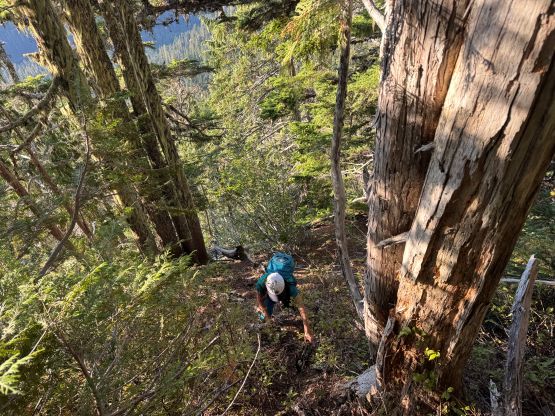
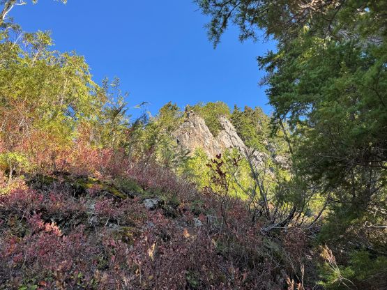
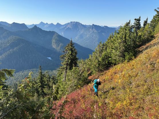
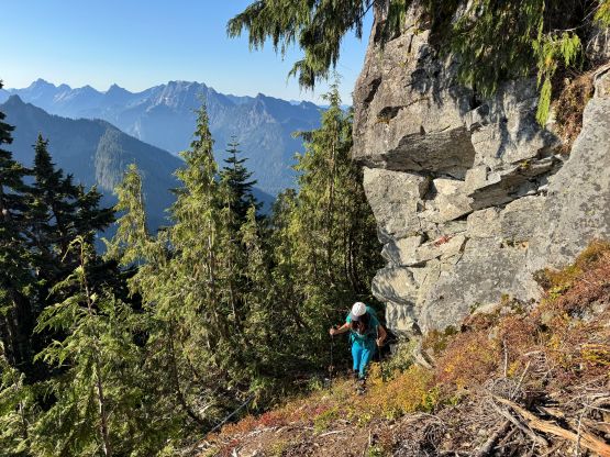
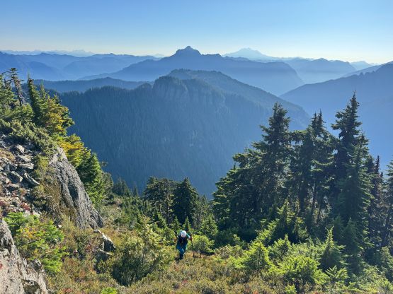
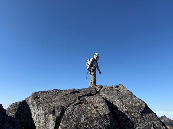
Higher up we traversed climber’s right onto the actual SE Rib of “Independence Peak” and then the route became much steeper. Thankfully the steeper stretches were all secured with batman ropes and some were 60+ m long. I would be totally fine scrambling without the ropes but Kate definitely needed them. This is NOT a hiking route, after all. The terrain was quite slippery with all the pine needles on the ground and route-finding was also required. At one point I led us exiting the forest too early and had to deal with some 3rd class scrambling with exposure. We got back on track and the trail continued quite a ways up higher, all the way to the very base of the cliff bands that guard the summit from the south. The rightwards traverse also had some flagging tapes and a faint path to follow, but at times we had to do some side-hilling on heather. The final ascent via the east ridge also had some steep heather slopes and the last 10 m was a true 3rd class scramble. Kate needed a bit of help but made the summit without incidence.
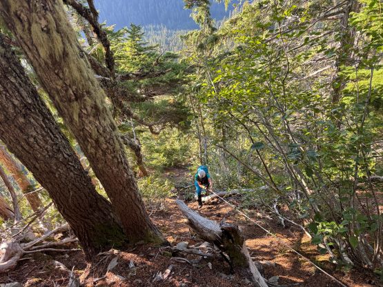
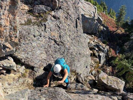
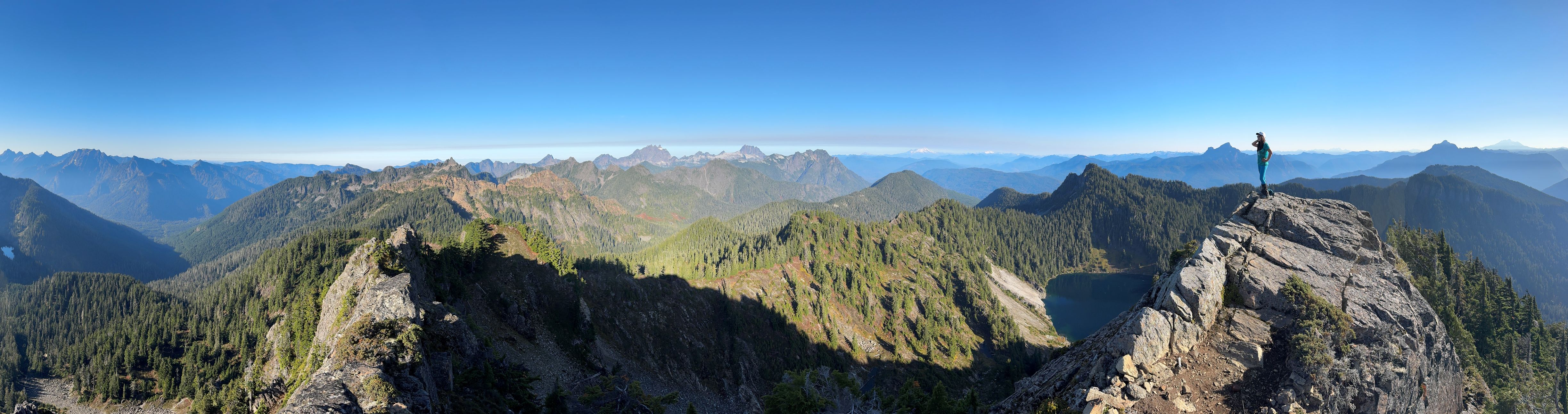
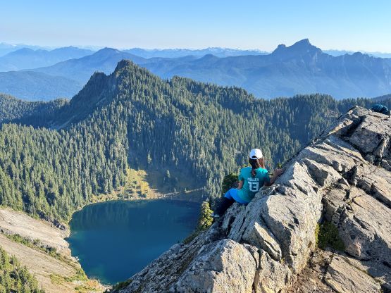
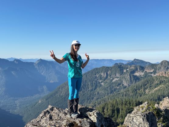
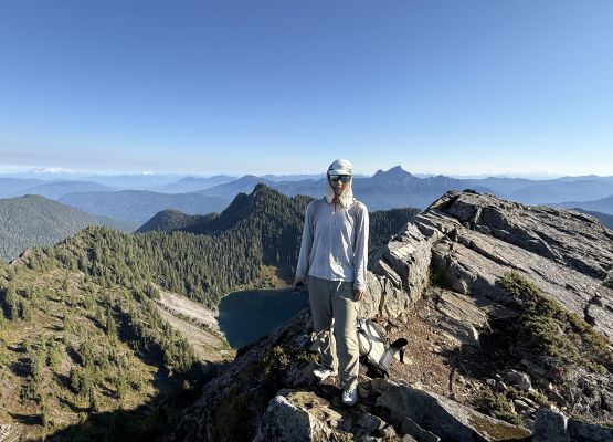
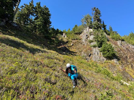
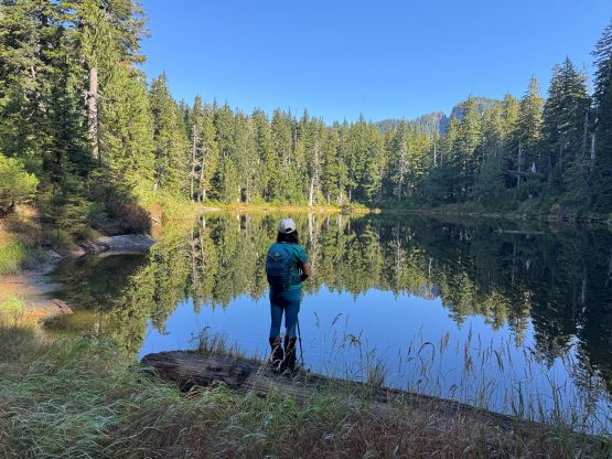
We gingerly down-climbed the summit pitch and then mostly sat on our asses sliding and slipping down the east ridge heather slopes. Once rejoining the path the going had become much easier, but Kate had to heavily rely on the batman ropes to get herself down. Even I used the ropes a few times as it’s simply easier that way. Lower down we somehow got off route at the shore of Pass Lake and the bushwhacking to rejoin the trail was very thick and wet. Our round trip time was actually over 4 hours which was a tad bit slower than expected, so I decided for us to skip lunch and make a single dash back to White Rock. I eventually showed up at work without much time to spare but I did earn about half an hour’s napping as Kate was able to help some of the driving.