Sumas Mountain (WA)
May 7, 2022
1045m
Bellingham, WA
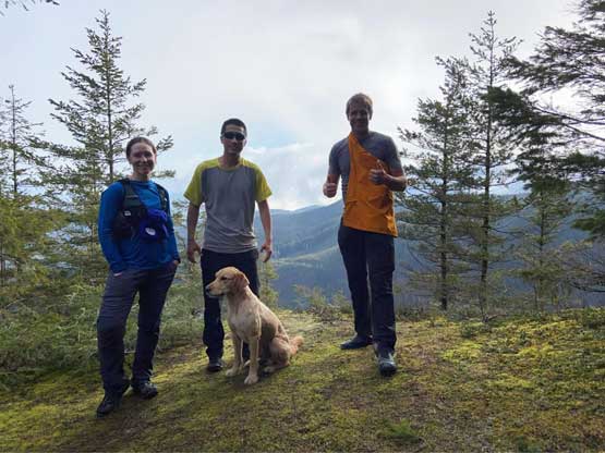
There are two Sumas Mountains not far from the Canada/U.S. border and not far from each other. In May 2020 I did the one in B.C. which is also known as Sumas Peak, and this time I would do Sumas Mountain in Washington. Both peaks have over 800 m prominence. This peak is very close to home and can be easily done as a before-work exercise. There are a few ways to tag the summit. Most peak-baggers did the drive-up or a partial drive-up via Paradise Valley from NE, but Matt J. insisted to hike the full elevation profile from the west, via “Gold Mine Trail/Ridge Trail”. This trail system is shown on my Gaia map but lacks some detailed description. In any case I was not expecting much from this hike other than turning another “red dot” green on the peakbagger app but it turned out way better than expected. I also shot Selena Eon an invite at the last minute and she was game despite the early meet-up time.
The weather for Saturday was looking miserably but the mid-morning was actually not too terrible with only 1 mm of precipitation in our regions. When Matt picked me up at 6 am the weather was actually “mostly sunny”. The border crossing was without event so we made to the trail-head earlier than expected. Selena also arrived earlier than expected after having to wake up at 4:30 am and drive up from Issaquah. Matt and I had the border crossing to content with but Selena had a much longer drive. I never get why the B.C. hikers intentionally ignore the peaks in Washington. The drive to the North Cascades is actually shorter for us coming from Vancouver than for those based in Seattle.

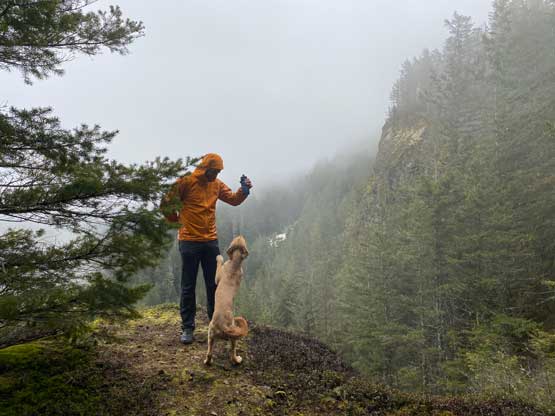
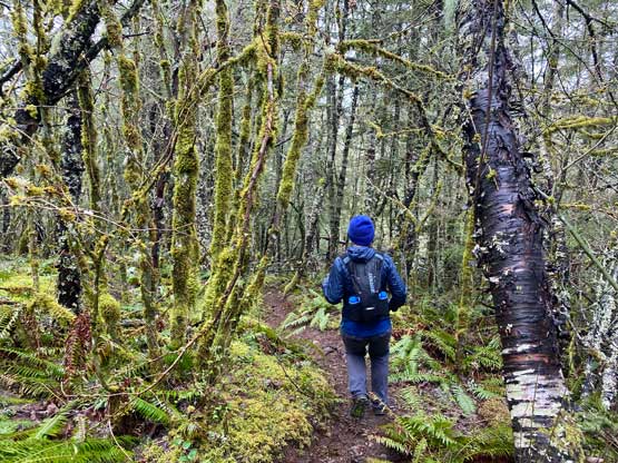
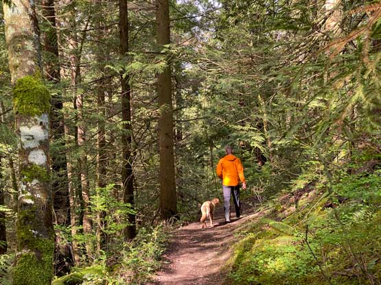
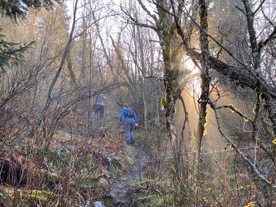
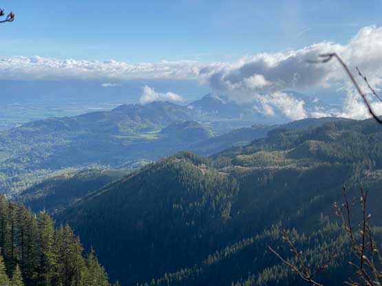
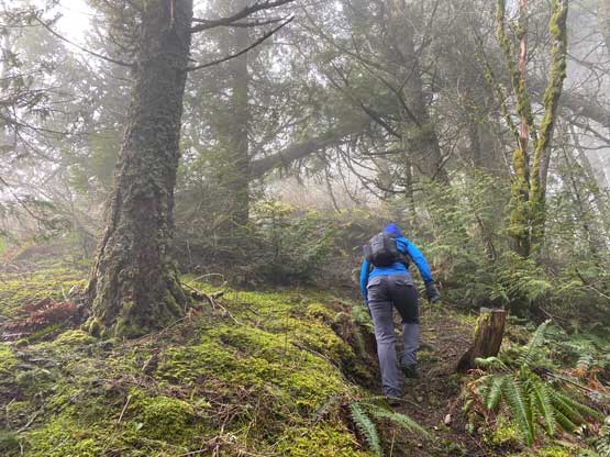
The parking and the start of this trail is actually in someone’s private property but the owner kindly put up a path for us hikers to go through, which we greatly appreciated as they could totally just close the area and put up “no trespassing” signs like most Canadian rural communities do. Right off the bat I realized that this hike might actually be a nice one. The ascent through the lower forest reminded me Squak Mtn. that I did recently in Issaquah area. The trail was muddy at places, but overall well-maintained and easy to follow. At the first junction we turned right towards the mine site and the plan was to take the cabin route on the way back closing in a loop. We then ascended a dozen switchbacks gaining elevation rapidly. By around 650 m elevation zone the slope angle finally mellowed out and then we had an easy plod onto the peak’s NW Ridge where we actually found a few nice viewpoints. Those who chose to drive up from Paradise Valley would miss out all these views. This NW Ridge section was the finest of the whole hike.


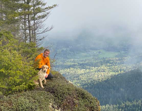
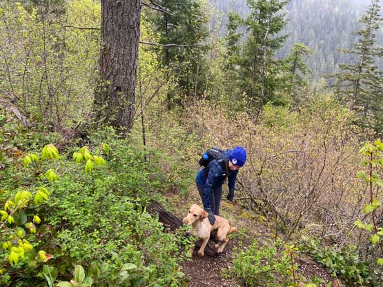
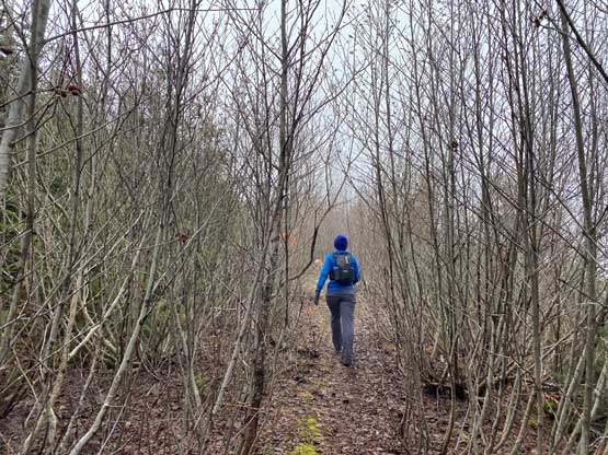
Upon reaching the next intersection we turned right losing fair a bit of elevation to descend onto an overgrown logging road on this upper Sumas Mountain’s plateau. The upper reach of this hike was the worst of all. We followed this road to as close to the true summit as possible but the last 100 horizontal meters had to be bushwhacked no matter what. The true summit was basically in the middle of a re-planted zone and the young trees were extremely dense. I could totally see how dumpster-ish this peak would be if one just did the drive-and-thrash but for us the suffering was only a small fraction of the total hike. It’s difficult to determine where exactly was the highest point so we just thrashed to where the “red dot” on the peakbagger app was and called it there. There’s absolutely no view whatsoever.
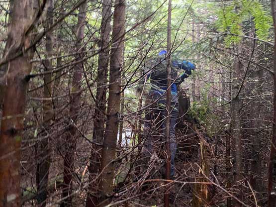
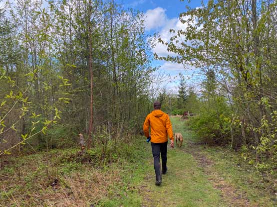
Matt then led us down a different line hoping for less intense bushwhacking but the result was rather same. We even had to cross a swampy area trying to balance on some slippery logs. The timbers were still tight. The rest of the descent on the trail was uneventful and fun and our round trip time was exactly 3 hours. Matt and I then drove to Bellingham for a much-needed pizza lunch and then went north to embrace the border traffics, which took about 40 minutes.