Mount Fifi
August 16, 2026
2637m
Banff, AB
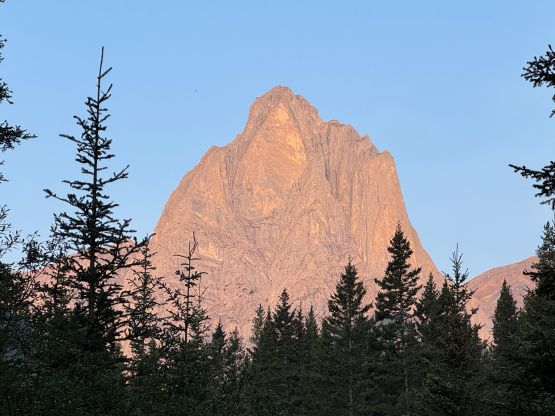
Mt. Fifi in Sawback Range of Banff was named together with its more fabled neighbour, Mt. Louis but Mt. Fifi is perhaps the only peak in Canada officially named after a dog. This peak is tucked behind and overshadowed by Mt. Louis so there weren’t a ton of trip reports out there on the internet, but the “beta” was sufficient enough to get the job done. The one-and-only published route is not nearly as demanding as the ones on Mt. Louis but is still a technical climb, and the rock quality is also nowhere as good as the taller neighbour.
Erica and I planned this week-long road trip to the Rockies and the idea was to tackle as many technical towers as the weather allowed. I was struggling to come up with the exact itinerary but at the last minute I remembered Mt. Fifi on the backburner of the list. I hastily did some research and even reached out to my old friend Robb Schnell, one of the only few that I knew who had done this objective. We headed straight from home to Banff tagging Mt. Revelstoke in the previous day and car-camped at the trail-head at Mt. Norquay ski resort. There’s a wedding event in one of the lodges so we couldn’t drive to the far side of the gigantic parking area, but at least nobody came to fuss with us as car-camping in the National Park had never been permitted. The weather was looking promisingly but we got hammered by a series of thunderstorms overnight. The clouds did dissipate but I wasn’t super stoked about the saturated bushes.
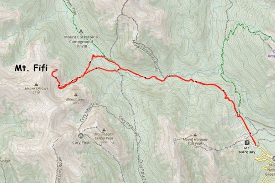
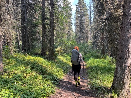
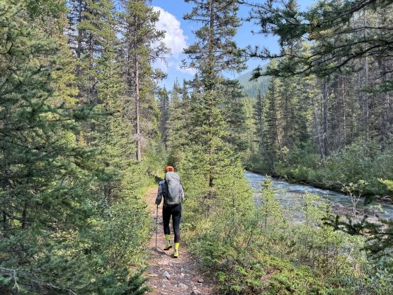
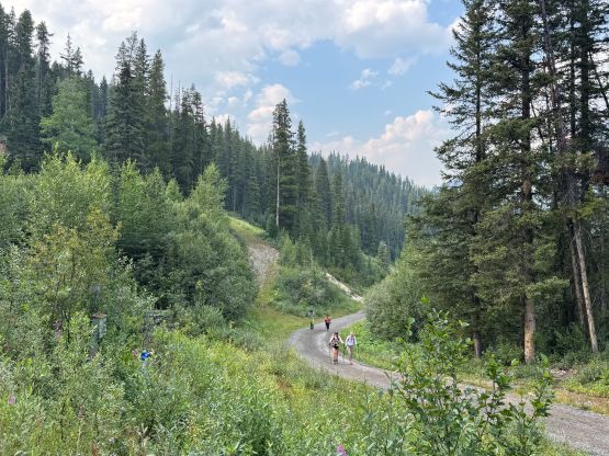
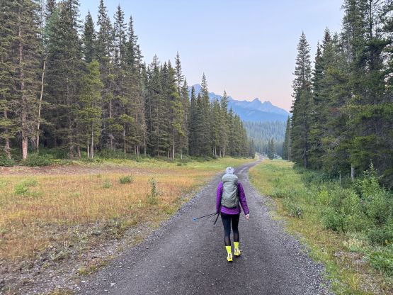
The first part of the approach joins the classic scramble route on Cascade Mountain which I did back in 2011. We actually missed the critical turn as the branch of the trail that goes towards Cascade Mtn. was simply too “major” to ignore. Thankfully I had the habit to check the GPS screen very often so we quickly corrected the error. A few boring kilometers of plodding later we descended into Forty Mile Creek valley and then hiked a few more kilometers to the base of Mt. Louis and Mt. Fifi. Paul Zizka has one of the only few trip reports in which he mentioned crossing Forty Mile Creek on a “bridge”. I wasn’t able to exactly interpret what he meant so I bluntly assumed the “bridge” was the official one connecting towards Edith/Cory Pass loop. The other interpretation would be a random “log bridge” much closer to the drainage coming down from Louis/Fifi bowl but honestly it didn’t make a huge difference. We took the other route on the descent which was less bushy but still nowhere a no-brainer approach.
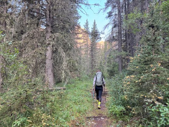
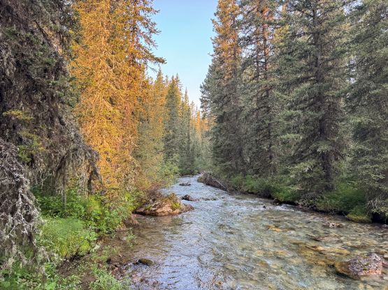
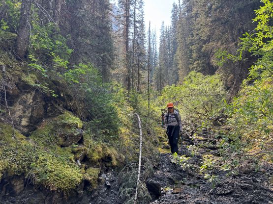
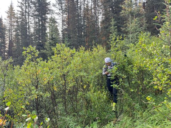
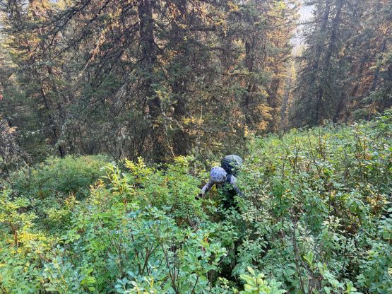
After crossing the bridge we loaded up the water bottles and started the mile-long side-hilling traverse towards the drainage that comes down from Louis/Fifi bowl. Ideally I wanted to keep the elevation low by staying closer to the river but the terrain forced us to ascend rather rapidly. There was more than enough micro-terrain to make the navigation extremely confusing. The bushes were saturated as expected, and we were absolutely soaked to the bone after a few minutes of thrashing. We entered bands of thick brush that could be considered legit bushwhacking even by the BC Coast’s standards so I was 100% sure that Zizka, as well as the other parties had taken some different ways. The going was absolutely miserable for at least 2 hours but we came from BC so we persisted through. Eventually after a nasty down-climb on compact choss we got our asses into the aforementioned drainage and still had to ascend some unpleasant (and wet) terrain to get ourselves above the treeline. Just as we were about to take a long ass break drying off the cloths the sun moved away, so we had to get going again. There was no running water in this bowl so at least it was the right decision to load up the water bottles at the Forty Mile Creek crossing.
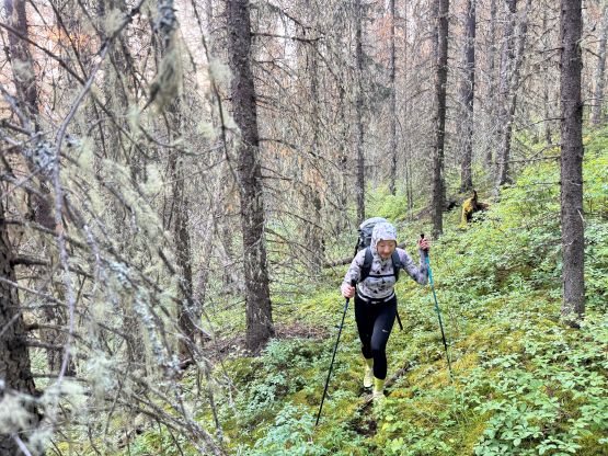
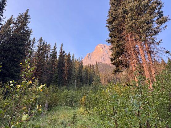
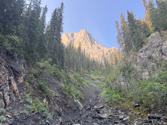
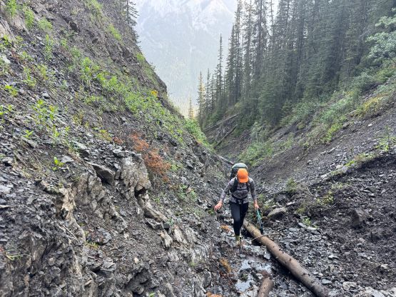
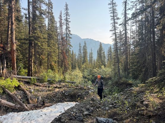
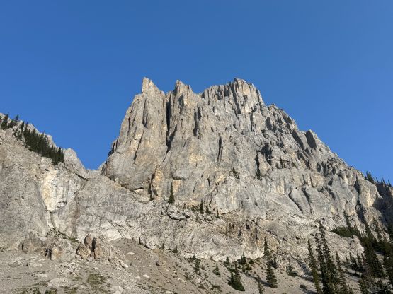
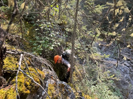
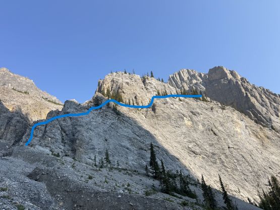
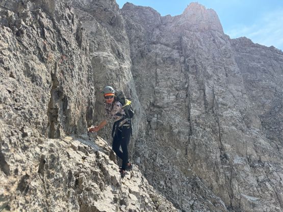
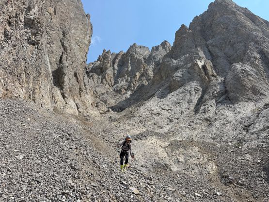
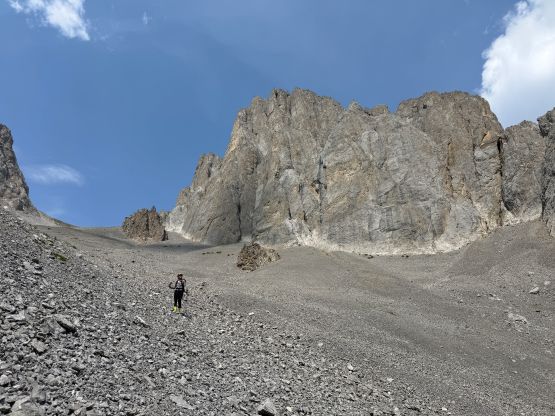
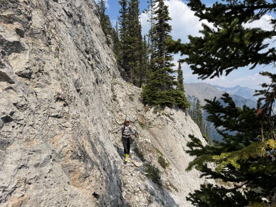
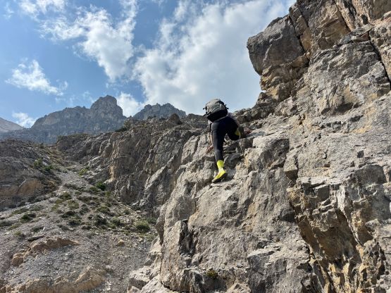
One of the difficulties in Mt. Fifi’s ascents was to gain the col between Mt. Fifi and the taller but unnamed P100m peak to the west (also referred as “Arlington Peak” by bivouac.com). The description was vague but through the various layers on Gaia and Outmap I was able to roughly figure out the way. We however, decided to challenge the “beta” by climbing a direct route to access the large scree gully that comes down from the col. We knew that Rick Collier’s group had tried to descend that gully but failed to find a scrambling way, but I also trusted by my own observation and judgement and the era is different with all the technology we are having right now. The route I was eyeing would nowhere be obvious coming down from above anyway. I’m usually only keen on tackling each peak via their respective easiest way but I wouldn’t hesitate to trade physical effort for technical difficulties. In this particular case the technical challenge was definitely higher but the physical effort would be much lower, so that’s my preference. We ditched some gear at the bottom of the buttress directly to the right (east) of an obvious chasm/gully and then climbed a pitch of low 5th class on questionable rock. The “climbing” was only for a few moves so we didn’t even bother to don harness. We then scrambled more 3rd and 4th class ramps, slabs and ledges out towards climber’s right and eventually accessed a treed ledge that would bring us horizontally into that scree gully above the bottom technical pitch. It worked, at last.
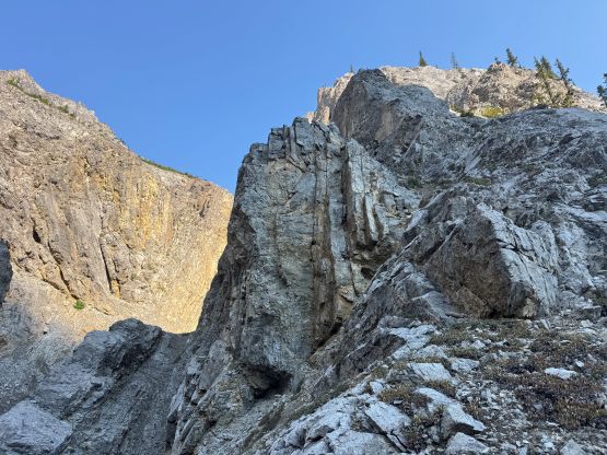
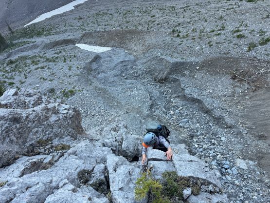
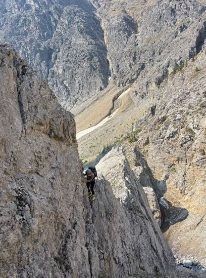
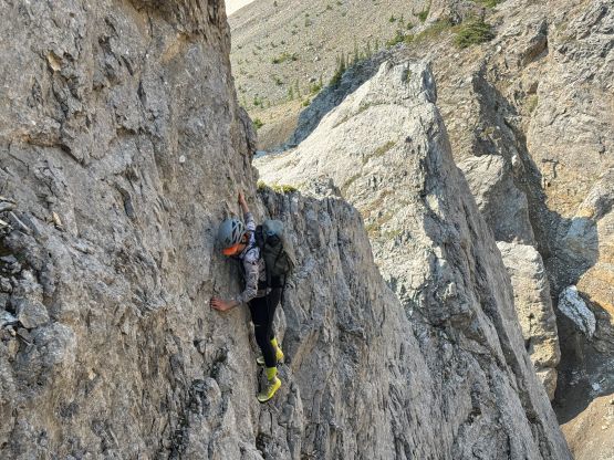
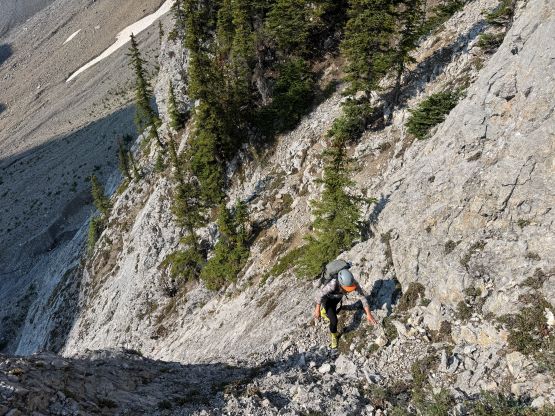
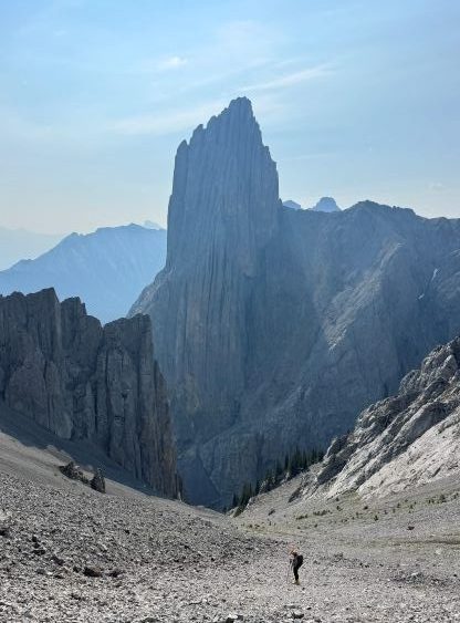
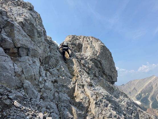
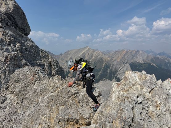
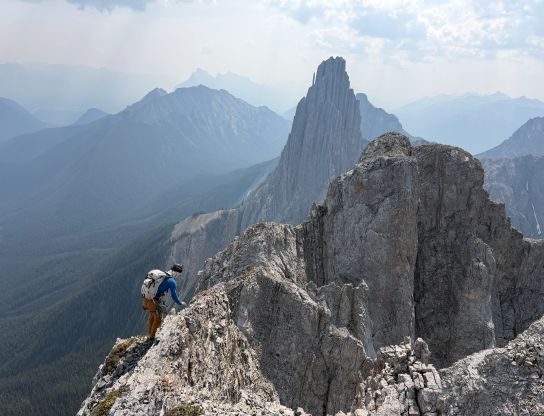
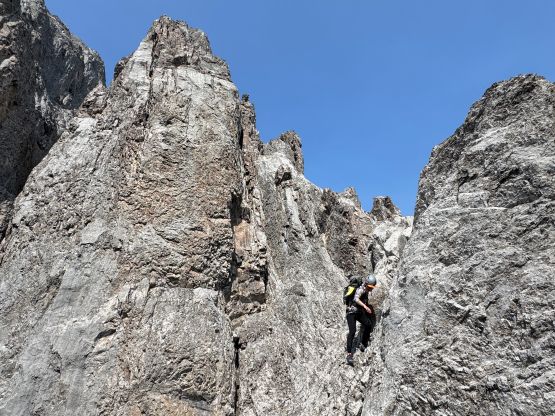
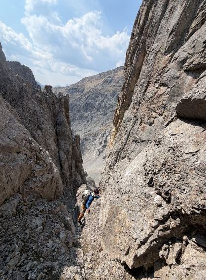
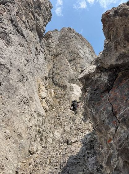
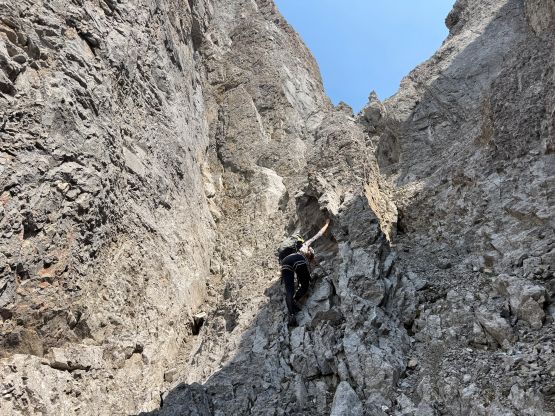
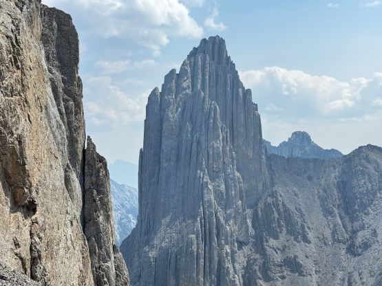
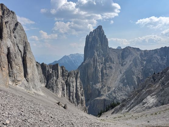
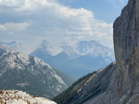
Trudging up the scree gully was nowhere “fun” but the view looking back towards the north face of Mt. Louis was getting better and better. This was Erica’s first time seeing Mt. Louis so the stoke level definitely got a boost. We then correctly located the “giant gully” that bisects the west face of Mt. Fifi but slogging into the gully was on some ugly treadmill scree. This peak hadn’t seen enough traffic to form a path yet so the slogging was quite unpleasant. The gully also started to look more appealing once we were in it and the decision was again to “scramble” as much as we could. The pitch in the middle of the gully was obvious but it didn’t seem unreasonable for us, so we soloed it bypassing at least two rappel stations. The upper funnel was not as technically difficult (only 4th class) but the rock quality drastically plunged. This area required the uttermost care even for someone with a ton of Rockies choss experience. It was difficult to manage rock fall in a group of 2 so I don’t know how Rick Collier had brought a large team up there.
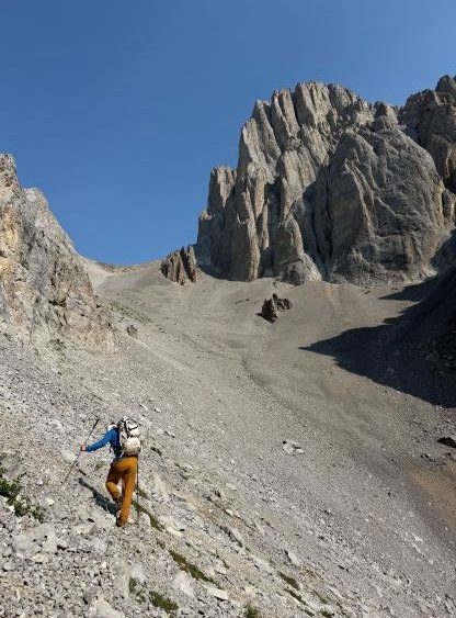
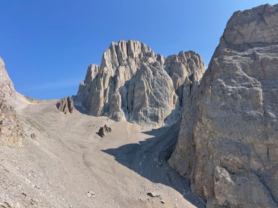
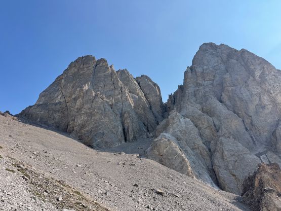
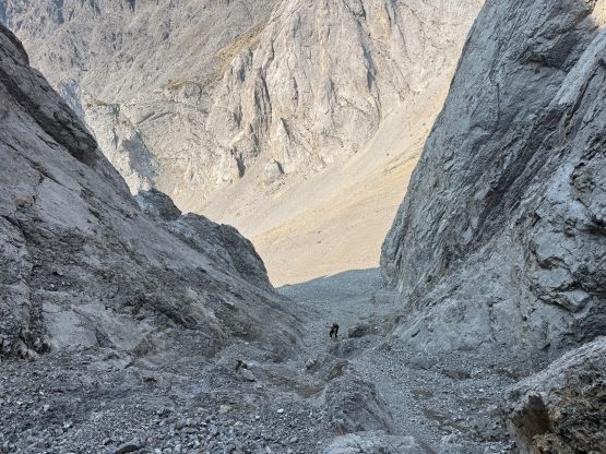
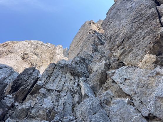
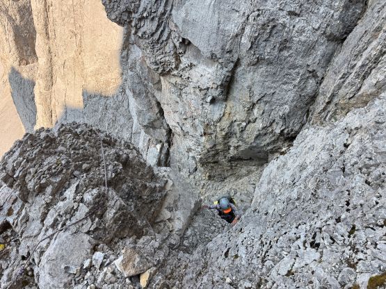
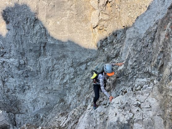
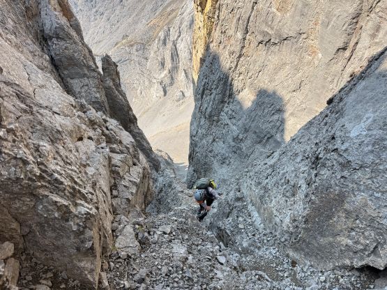
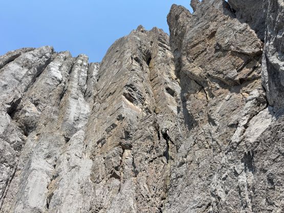
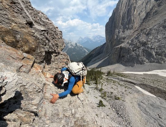
In any case we topped the ridge between the north (main) and the south summits and the decision was to solely focus on the main peak. The south peak would be cool but we weren’t doing particularly great on time and it was also the start of an intense peak-bagging trip that I wanted to minimize the efforts. We knew the pitch to gain the true summit would be 5.4 but again, the terrain appeared soloable, so I started up without a rope. A few spots higher up had some extreme exposure with poor rock quality and I definitely questioned my sanity at least once or twice, but with extreme level of focusing it was “fine”. The climbing was never too difficult anyway. Erica had no problem soloing up behind me and then we “scrambled” across another pitch of true definition of knife-edge, and then found ourselves on the summit.
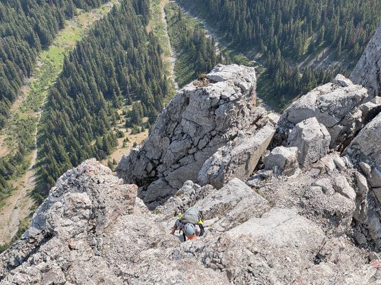
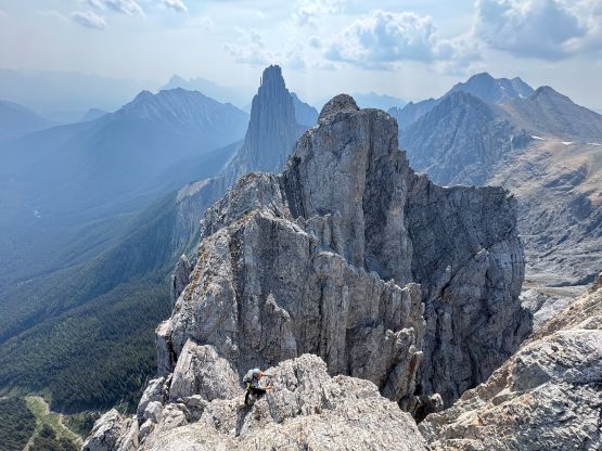
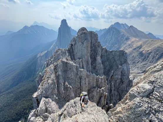
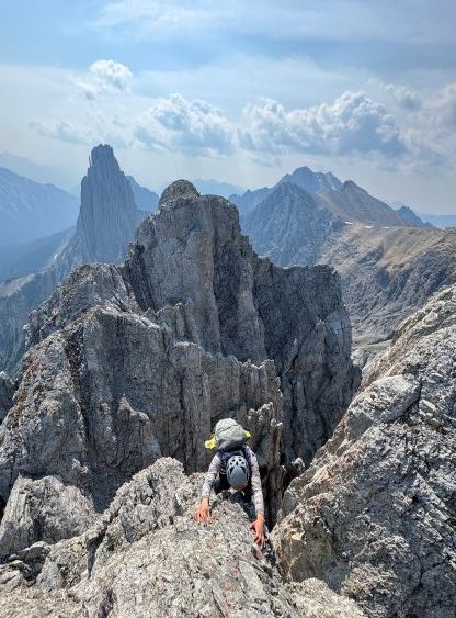
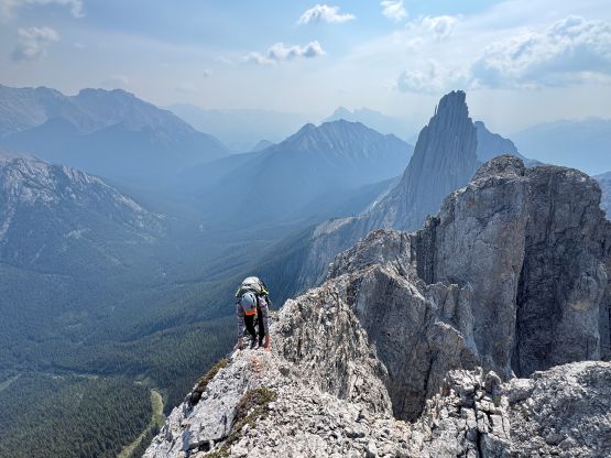
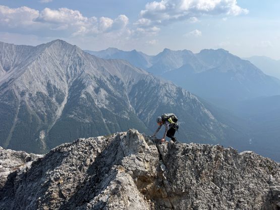
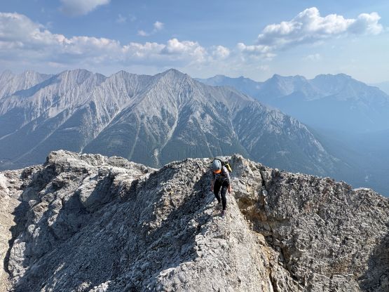
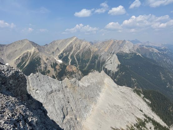
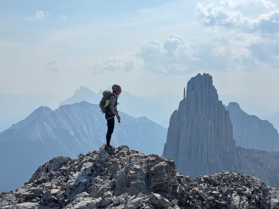
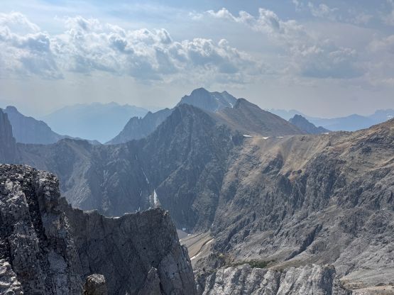
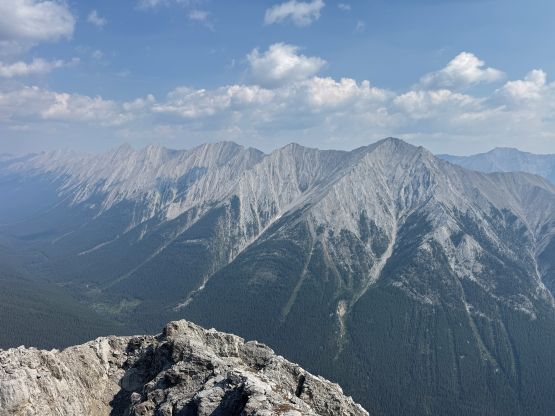
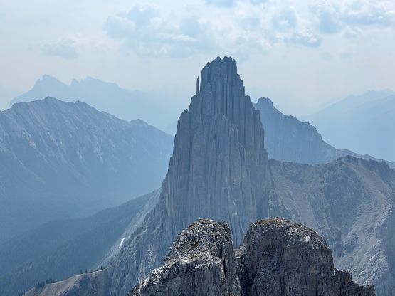
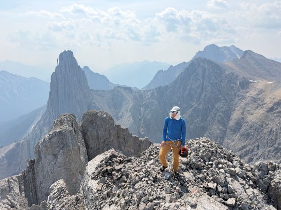
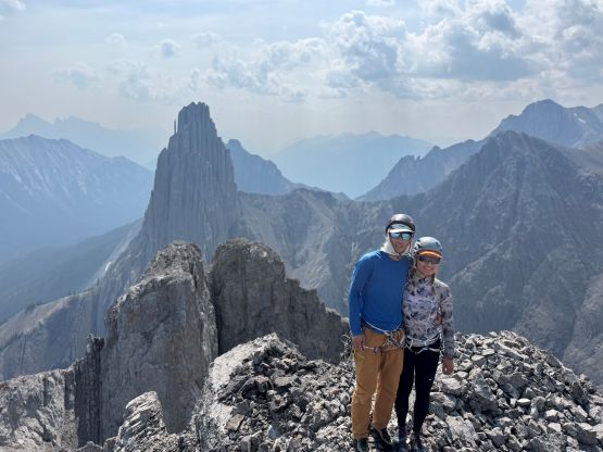
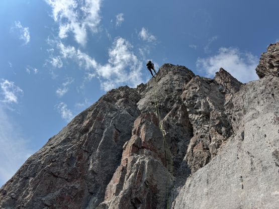
On the descent we scrambled back to the top of the 5.4 pitch and then used the existing 3-piton anchor to make a single rappel back down into the north/south summits col. A 50m rope was more than sufficient enough. There was no existing anchor to assist descending the upper funnel so most of the gully had to be down-climbed. Again, being slow and patient was the key to survive this route. Lower down we made another rappel down the lower 5th class pitch but honestly I wouldn’t mind to down-climb this pitch as the rock was much more solid here. We talked about descending Paul Zizka’s contrived and roundabout route to avoid having to down-climb the class 5 pitch we did on our own experimental approach, but we also agreed that the pitch was down-climbable and none of us was keen on more physical work. I looked quite hard to find spots to build a rappel station but without pitons (and the knowledge/experience to actually use them) nor double-60m ropes (using trees) it wouldn’t be possible, so we had to downclimb it. It worked out fine after cleaning a shit ton of choss. Unfortunately some of those choss got showered to our cache of ditched gear so my water filter took some damages, but at least we ourselves got down with no mishap.
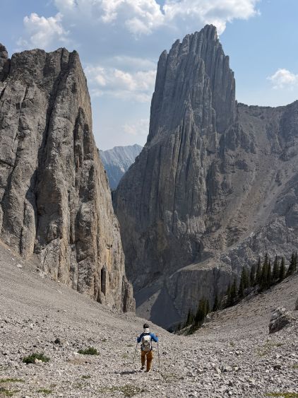
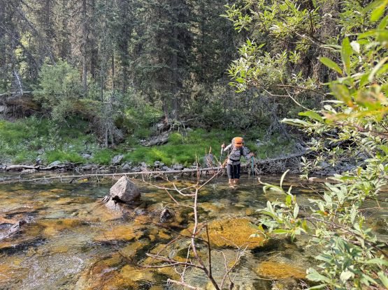
For the bushwhacking we went straight the hell down the drainage which was nowhere as thick, but added one bare-foot crossing of Forty Mile Creek and a ton of confusing micro-terrain on the river flats. This route was also longer in terms of distance. I would probably still recommend this way versus the side-hilling thrashing we did on the ascent, but by one way or another this was not a straightforward approach. We then dashed the 6 km trail back passing a ton of scramblers doing Cascade Mtn. and concluded the round trip in 11 hours. We weren’t moving slow in any particular part of the day so expect a big ass day or an overnight outing for the averaged parties.