Youngs Peak (Traverse)
February 28, 2015
2815m
Rogers Pass, BC
Over the past year I’ve ascended quite a few peaks by Rogers Pass and Youngs Peak was always in sight. It’s not a significant mountain by size compared to the ones I climbed (Rogers, Sir Donald), but given its location I’d expect unobstructed views of the immense Illecillewaet Neve as well as the giants nearby. The traverse of Youngs Peak (up the Illecillewaet and down the Asulkan) is one of the Rogers Pass ski classics and needless to say, it has been pretty high on my list in this winter season. The “absolute must” for this trip was a bomber snowpack and a guaranteed bluebird day, and this lined up nicely in this past Saturday, so that’s it!

Youngs Peak Traverse route. GPX DL
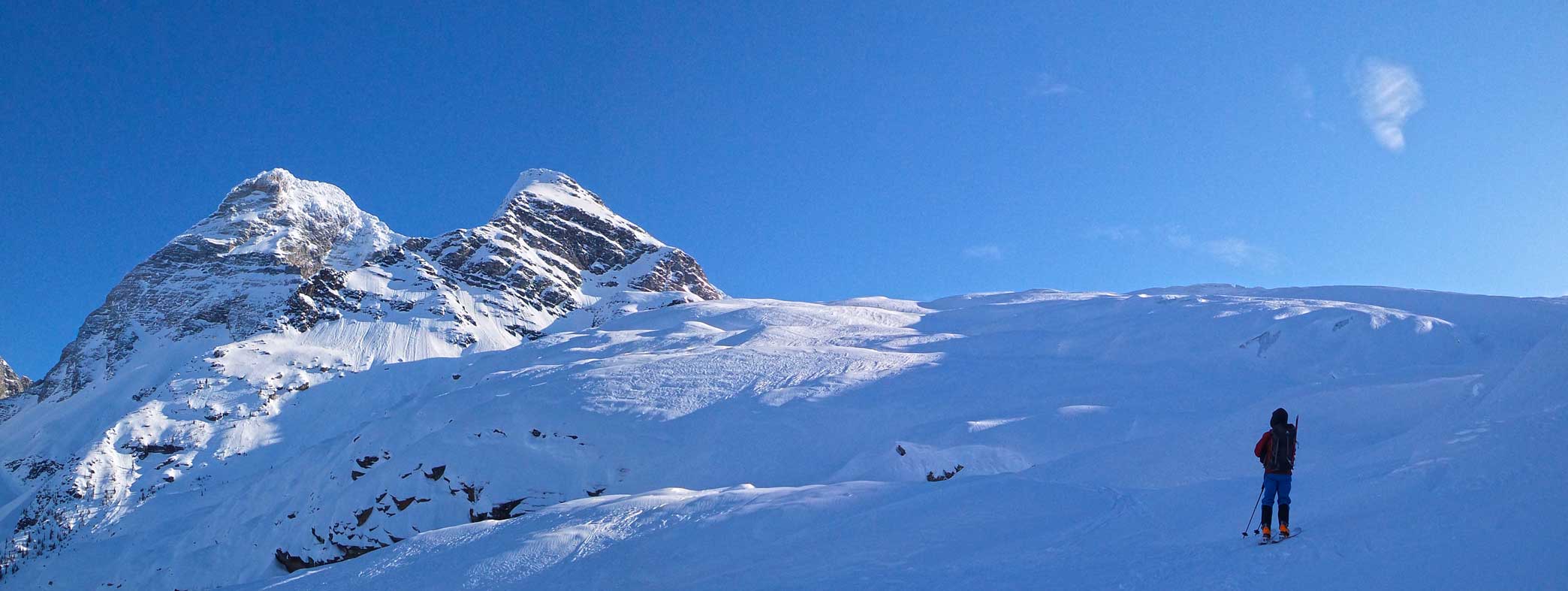
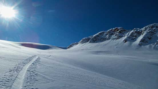
Our day started with waking up at a ridiculously early 3 am at Vern’s home. Thank to the “draught” and the recent warm temperature the road condition was more summer-like and we made to Rogers Pass in good time. The Asulkan parking lot was already busy and as expected, there was a “highway” of ski tracks leading us up on the right hand side of Illecillewaet River. My friend Josh Lynn gave me some fresh beta about the recent skiing quality in Asulkan Valley and we came fully prepared for the icy conditions. Even that, it was much worse than expected and my skins could barely get any grip. On top of that Vern broke his binding within 2 km into the trail.. Oh well, thankfully he managed to fix it (sort of) using duct tape so we continued up the valley. At a critical junction we took the left fork and in short time we got to see the steep and very foreshortened grind ahead, up towards the distant Illecillewaet Neve.
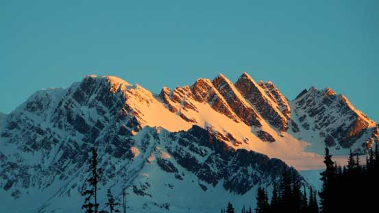
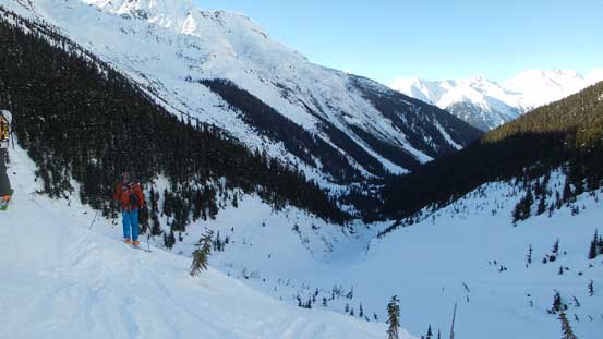
Alpenglow on Mt. Rogers from the parking lot

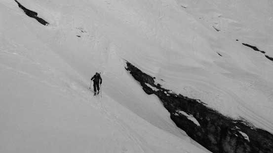
Me approaching the headwall. Photo by Ben
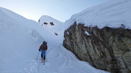
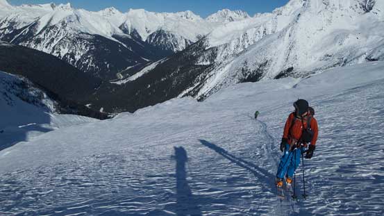
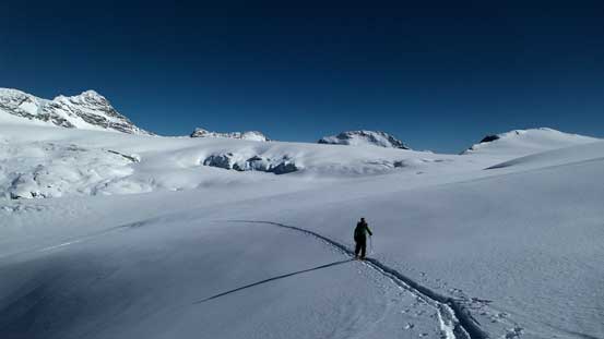
There were infinitely many skin tracks up towards everywhere and needless to say it was a wee bit confusing since neither of us had ski’d here before. Thankfully the GPS track that I got from Josh saved us a lot of energy. At just below the (huge) headwall another group passed us from behind and took the left side while we stayed on climber’s right following the GPS track. Later our route choice proved to be the more efficient way. (Later I realized the trip leader was Josh’s girlfriend, Lida. Small world indeed!) Skinning up the steep and icy tracks was as expected, tricky and nerve-racking at places (especially for me who had the least amount of experience on skis). We had to be really careful picking the lines otherwise slipping down a long ways would not be fun… Long story short, loosely following “this or that” tracks we eventually made to the toe of Illecillewaet Glacier. It was also damn cold here so we didn’t do many stoppings along the way.

Vern and Ben skinning up
Looking towards Uto/Sir Donald col. That’s another ski destination
Ben on the complex approach terrain

A zoomed-in view of Uto Peak
Ben skinning through a micro terrain feature
Vern on steep, icy big terrain
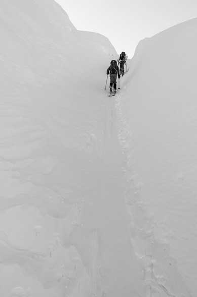
Ben and I skinning through an interesting section. It looks like we went right through a crevasse. Photo by Vern

Ben with Mt. Sir Donald behind
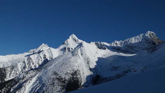
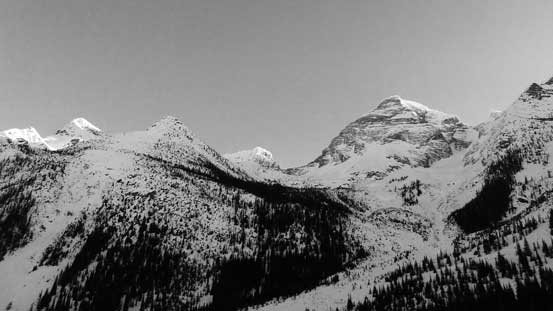
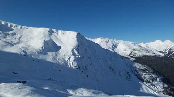
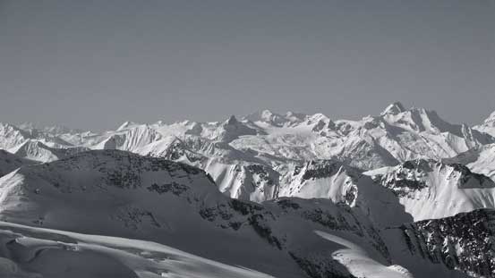
A view of Avalanche Mountain, Eagle Peak and Uto Peak
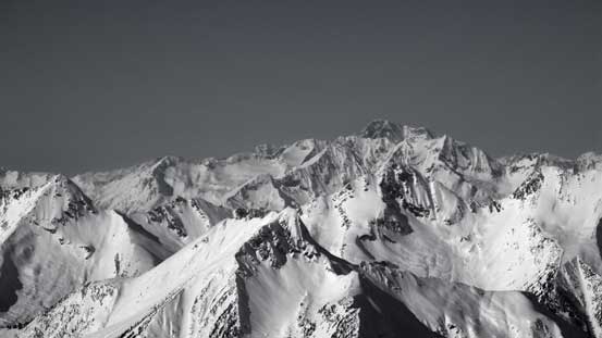
Some really big terrain around
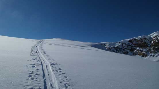
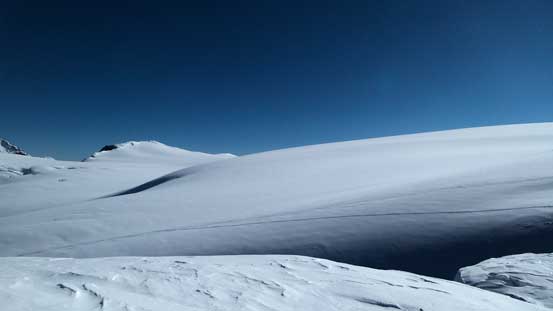
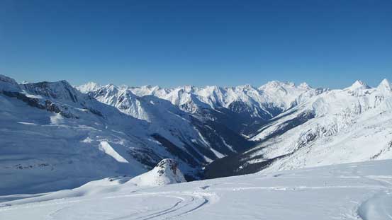
We were still able to follow a good set of skin tracks up the initial steep, icy and heavily crevassed section. The route cuts sharply climber’s left before veering gently right and eventually points more-or-less straight up towards the icefield. What surprised me was the amount of height gain that we still had to do. Lookout Mountain appeared to be “right there” but we still had about 500 meters of vertical to gain. At roughly elevation of 2100-2200 m we finally managed to gain the Neve and it was here that we finally hit some good snow.

Ben skiing onto the Illecilewaet Glacier
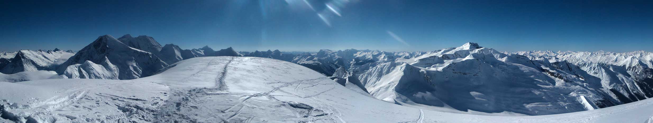
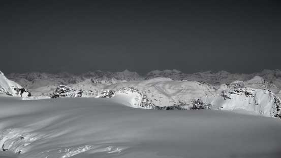
A panorama view of the Glacier. Click to view large size.
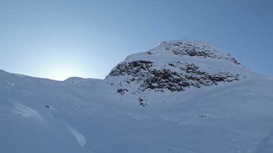
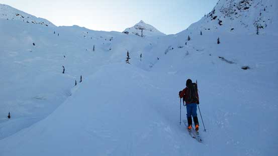
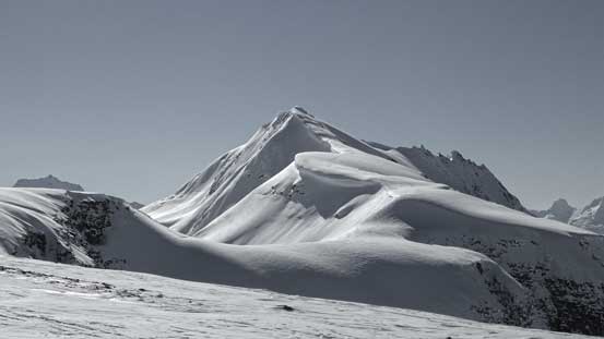
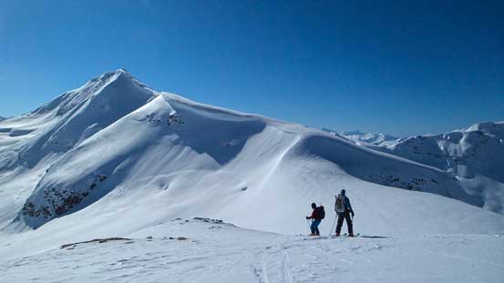
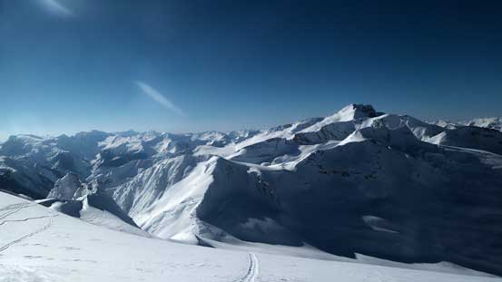
Our first objective – Lookout Mountain
Looking over the shoulder of Glacier Crest
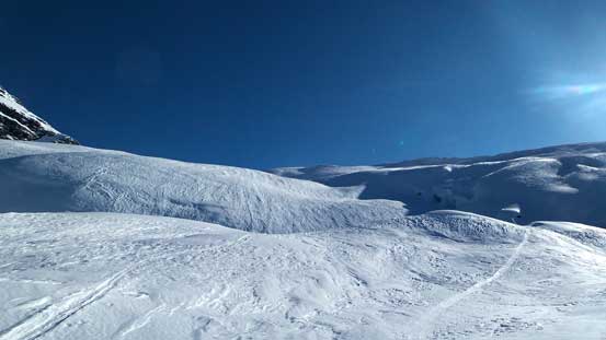
The glacier is complex – steep, icy and heavily crevassed…
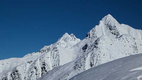
A zoomed-in view of Avalanche Mountain and Eagle Peak

Terrain on Glacier Crest was heavily traffic’d

One of the many crevasses

Following a well-set of tracks towards Lookout Mountain
Ben and Vern skinning up
Almost onto the Illecillewaet Neve now!
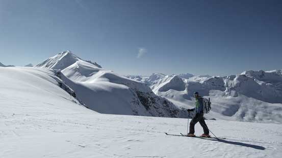
The tracks led us paralleling the base of Lookout Mountain and after another roll of height gain we arrived at the long, gentle, wide and glaciated connecting ridge between Lookout and Youngs. From here ascending Lookout Mountain is only a 20-minute round trip so it made no sense not to bag it..
The gentle glacier eventually led us to the south ridge of Lookout

Vern following the track up

Ben and Vern with Mt. Sir Donald behind
Vern enjoying his trip first up Illecillewaet Neve

Ben almost on the south ridge now
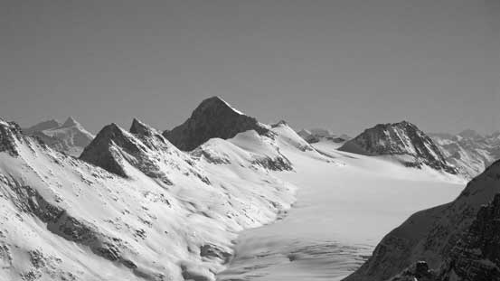
The immense Icefield!

Once on the ridge we got a head-on view of the Asulkan area
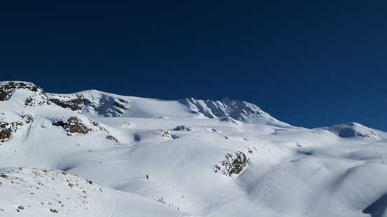
The connecting ridge from Lookout to Youngs up and over two unnamed bumps was one of the most scenic I’ve done, with the Illecillewaet on one side and the Asulkan area on the other. The ridge was technically very easy but took us for quite a while thank to the foreshortened view. We took our time here anyway as the weather was warm and sunny. Towards Youngs Peak we were all amazed by the gigantic cornices on its ridge.

Starting the traverse from Lookout to Youngs. Behind is the mighty Sir Donald

Highline traverse on the western edge of Illecillewaet Neve

Awesome view of Mt. Bonney and Asulkan Area
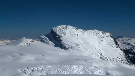
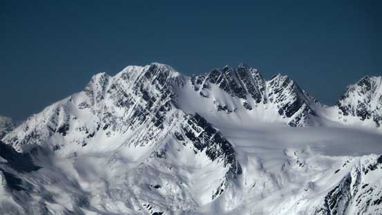
The gorgeous Youngs Peak

Vern on the traverse with Hermit Range behind

Mt. Macoun across Illecillewaet Neve
Vern with big terrain around
Mt. Sir Donald behind
Looking far south into Deville Neve
Getting closer
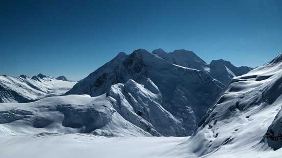
The mighty Mt. Dawson with Mt. Fox in front

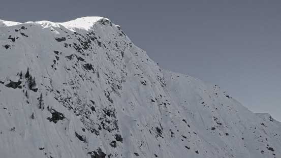
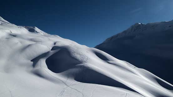
The East side of Youngs Peak has some steep and broken glacier

One steep roll to descent to the final col
Skiing up Youngs Peak was quite steep and tricky. We managed to skin up the first steep roll (my skins could marginally get a grip) but ditched them near the top. The consequence of slipping on the final section would be severe so we all agreed to strap the crampons on and bootpack to the top. We had a “highway” of tracks to follow but even that we had to be very careful not going too close to the edge as the cornices were just massive. After the final steep roll it was a short walk to the summit, with million-dollar views towards all directions.

Ben and Vern skinning up a steep and icy slope

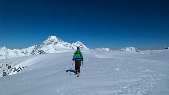
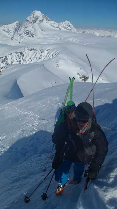
Me with the final summit push ahead. Photo by Ben
Bootpacking with skis on our backpacks
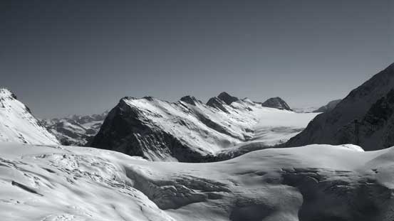
Partial Summit Panorama. Click to view large size.
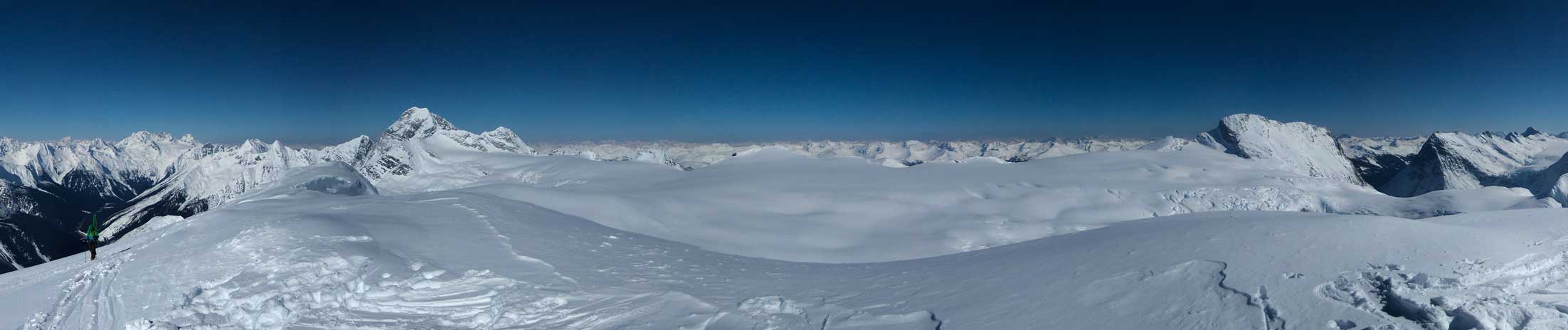
Partial Summit Panorama. Click to view large size.
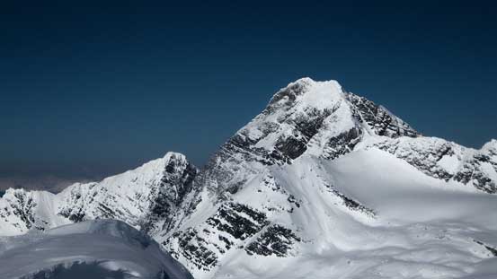
Mt. Sir Donald
Way in the distance on the skyline are peaks on Freshfield Icefield. Mt. Freshfield left of center
Mt. Macoun doesn’t look very difficult to ascend

Way in the distance are Horseman Spire and International Mountain
Beaver Outlook on the Deville Neve
Mt. McBean to the south
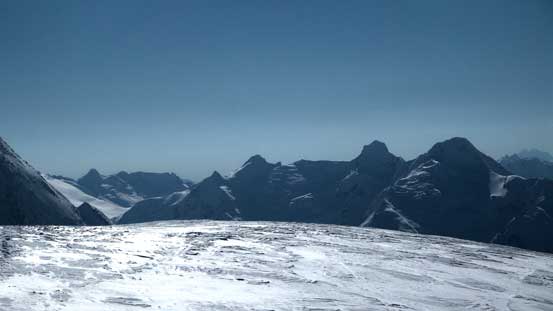
A sea of peaks in the Northern Selkirks including Mt. Moloch

Sorcerer Mountain is another big peak in the Northern Selkirks
Iconoclast Mountain

Mt. Sir Sandford – highest peak in the Columbia Mountains
Mt. Rogers. You can see the south face snow/ice route from here

The twin summits of Avalanche Mountain with Eagle Peak in front

The mighty Mt. Goodsir with Chancellor Peak just to its left – giant loose bastards…
Mt. Bonney

Me on the summit of Youngs Peak
Now after gaining more than 1700 vertical meters it’s the time for down-hill skiing. Sounds fun? Not so much, especially for me. The next 2 hours or so was pretty much an exhausting and nerve-racking exercise. I did get to enjoy a couple hundred meters’ powder skiing down the “7 steps to paradise” but for the most part the slope was heavily traffic’d by previous skiers. The first steep descent off the summit was also too steep and exposed for my taste (~40 degrees and similar to Mt. Joffre’s N. Face). The snow quality was okay for higher up but extremely icy and inconsistent lower down. It was just brutal… We took a short and necessary break at Asulkan Hut and then ski’d down skier’s left of the “tree triangle” via a steep gully, and then down through the “mouse trap” and into the Asulkan Creek. The trail down along the creek was stupidly icy and difficult to control and eventually at a couple tricky crossings I removed my skis, strapped crampons on and walked down the rest. Near the end (after re-joining the main trail by Illecillewaet River) I put skis back on and got a faster return back to the parking lot, where Vern and Ben were patiently waiting for me. All in all I got to practice 1700 vertical meters of survival skiing so that was definitely some valuable experience.

The steep NW Face was heavily tracked by probably hundreds of skiers…

There were actually some good runs that I could find fresh powder.
Asulkan Valley

Asulkan Hut isn’t as big as I expect
Looking back at Youngs Peak
Gorgeous terrain. Here’s where the best skiing we could find.
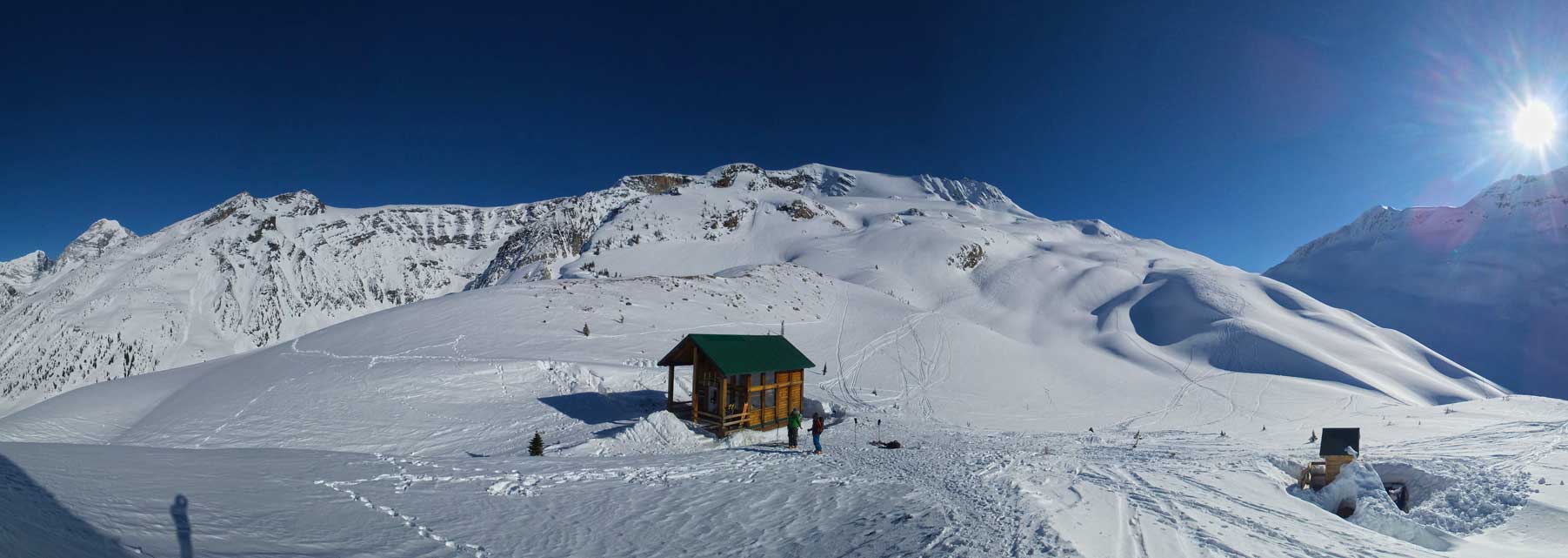
A panorama of Asulkan Hut and the area. Click to view large size.

Vern skiing down. Photo by Ben

Me survival skiing the heavily tracked and icy gullies. Photo by Vern
Down the “tree triangle”, ready for the “mouse trap”

Through the “Mouse Trap” now.
Overall despite the horrible ski condition I still think Youngs Peak Traverse deserves its reputation as being a Rogers Pass classic. There’s some big terrain (glacier and steep slopes), big views, lots of height gain and a long descent. I’ll definitely be back here skiing other classics like Custor Peak and Video Peak. Hopefully there’s a decent amount of new snow in the short term to improve the ski quality… And I have to thank Vern and Ben for trusting my skiing ability and waiting for me on the descent.
