Moore Peak
November 5, 2023
2223m
Lillooet, BC
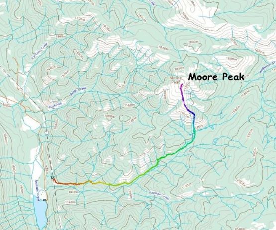
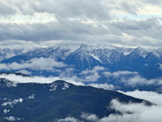
Moore Peak in the heart of Clear Range is relatively mysterious even though it boasts over 500 m prominence. I had noticed it many years ago by doing other objectives in the general area, but I could not find any “beta” on the internet. An unofficial trail that goes next to Frantzen Creek has been briefly mentioned on bivouac.com but it lacked any form of certainty and back in the days that seemed to be the only trail that goes somewhat close to the peak. Thankfully it’s the Gaia’s era nowadays and the “Peanut Lake trail” originated from Fountain Valley had popped onto the topographic maps and I immediately thought that to be the perfect way to approach Moore Peak. To my surprise this trail has some reviews on AllTrails and that helped to confirm the decision. The right window happened on this Sunday when the weather pushed me to go to the rainshadow zone. I invited a bunch of friends to come along due to the long drive, but in the end only Kate signed up. Kate was able to leave home on Saturday evening so I decided for us to car-camp in order to catch more hours of sleep.
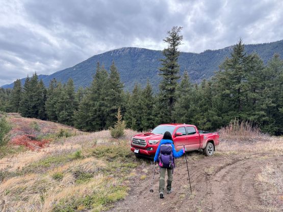
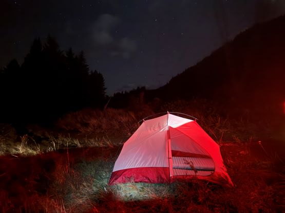
Due to the active weather in the past few days I was not able to predict the amount of snow in the mountains, so we decided to bring everything including snowshoes in the truck. In the end we managed the entire ascent in just trail runners. This year’s El Nino had surely done some impacts that all of the snow that fell a week ago had melted, and the recent precipitation had dumped nothing but liquid form of H2O, at least in this part of the range all the way up to the summit level. Kate and I left White Rock at around 8:45 pm and we encountered heavy rain including some deep puddles while driving up Highway 1 in Fraser Valley. I pulled over in Hope to check the radar maps and sure enough there’s a “severe weather” warning for the area, that up to 60 mm of rain had been recorded since the afternoon. Thankfully the area north of Lytton was mostly dry and by the time we got to Fountain Valley we could see nothing but stars in the sky. The short spur road that goes to the trail-head was in a rougher shape than I was hoping for (4×4, high clearance necessary), and it was difficult to find a spot to park the truck and pitch the tent. We eventually settled on a not-so-great pull-out next to the power lines and Kate showed me her massive-ass sleeping pads for added luxury.
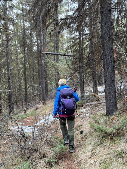
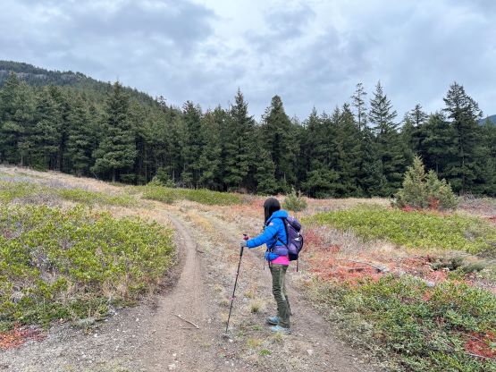
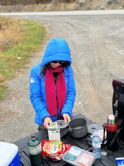
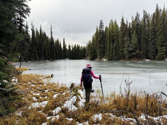
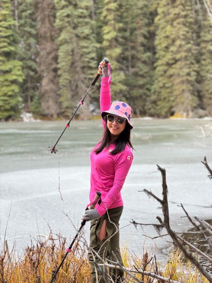
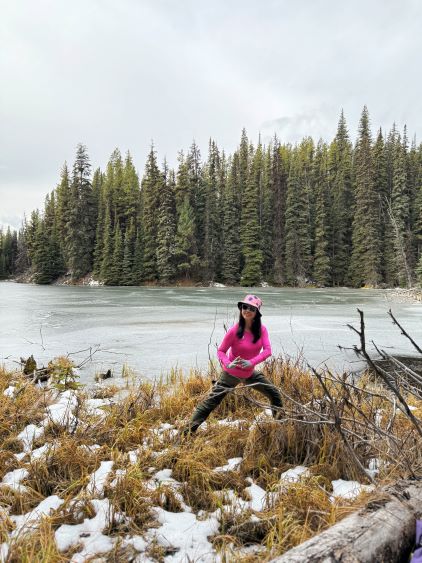
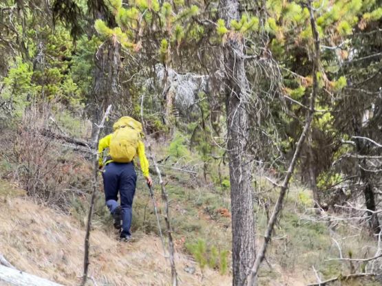
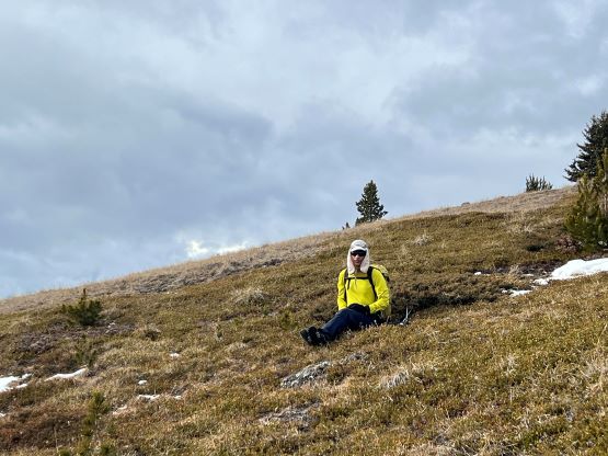
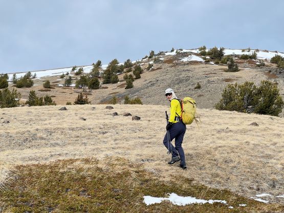
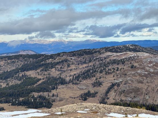
The alarms were set at 6 am but I turned them off and decided to sleep in for an hour. It was very easy to get lazy on a car-camping trip especially if the morning’s cold. The bright side of waking up late was that I could now see the mountains and make the in situ decision to leave the snowshoes in the truck. I still opted to carry the mountaineering boots and crampons just to be 100% sure but I was hoping to manage the entire ascent without them. Kate brought some pre-cooked breakfast kept in vaccum mugs and I thought that was an excellent idea. I hated eating cold food but I also disliked getting up in the chilly morning to cook, so Kate brought the perfect solution. The 6-7 km trail to Peanut Lake was in a much better shape than anticipated, that it was almost without any notable obstacle. The trail was also surprisingly not overgrown but does involve fair amount of elevation gain. We marched to the frozen lake in under 2 hours. The lake itself was not very attractive but we took our time taking photos nevertheless.
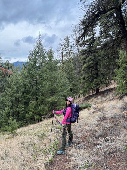
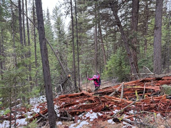
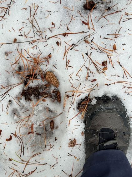
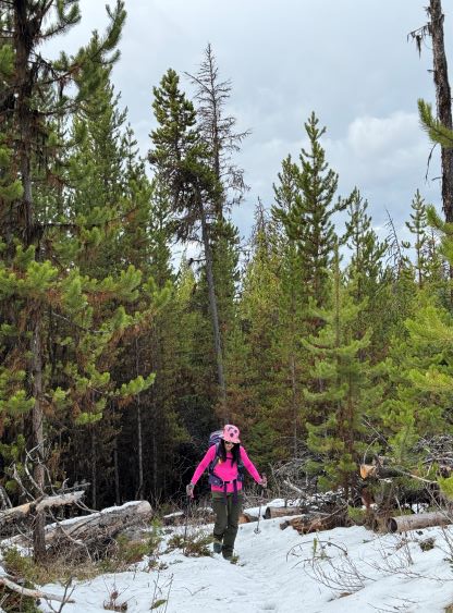
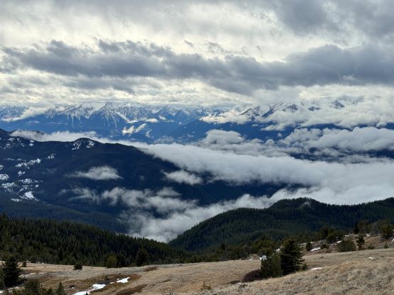
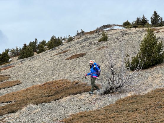
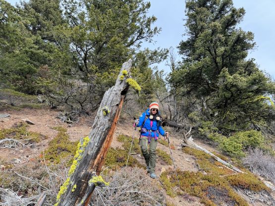
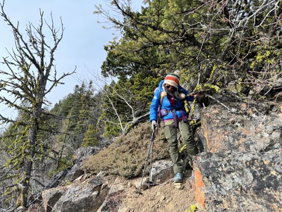
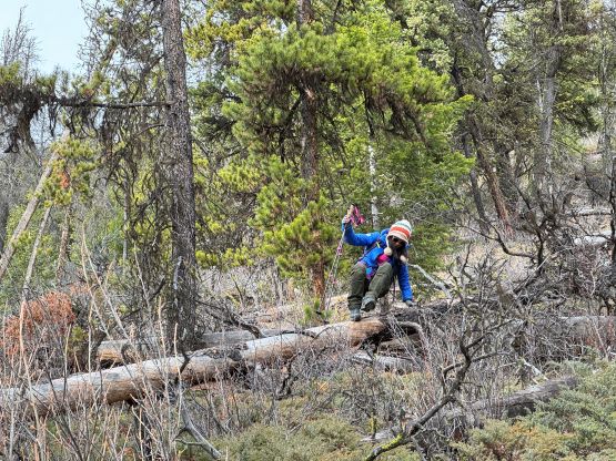
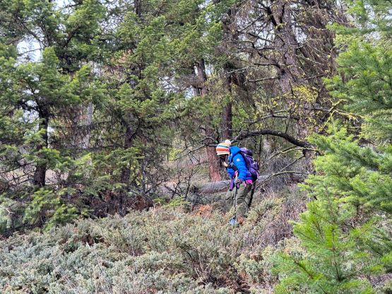
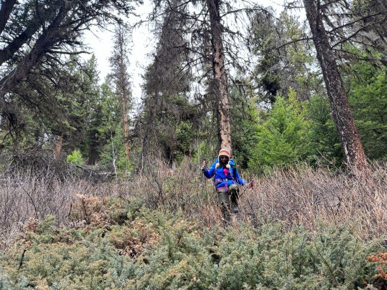
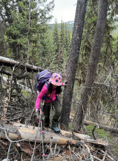
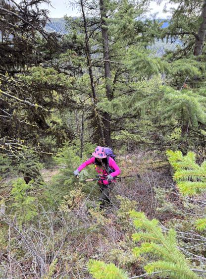
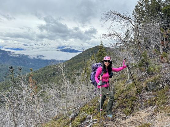
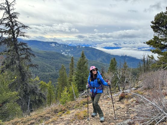
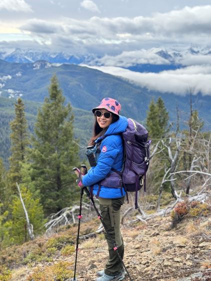
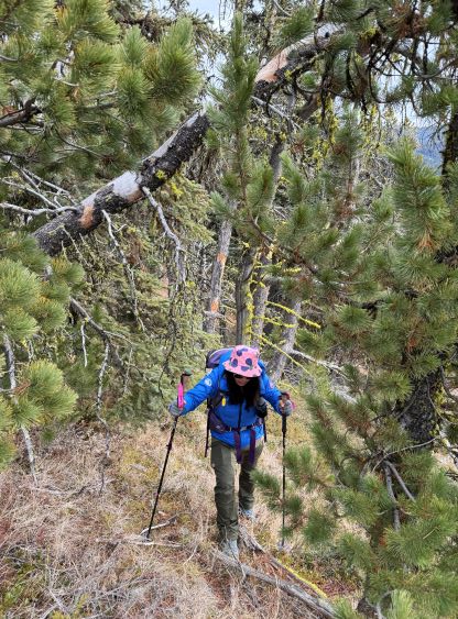
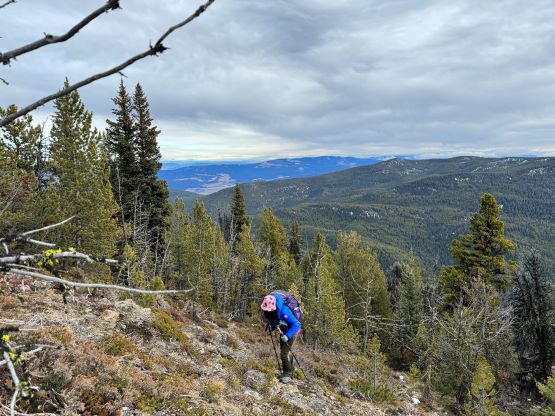
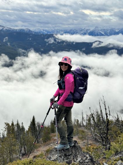
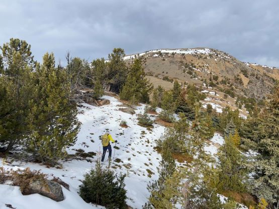
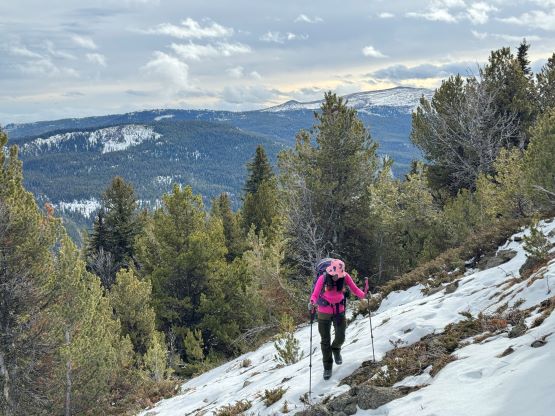
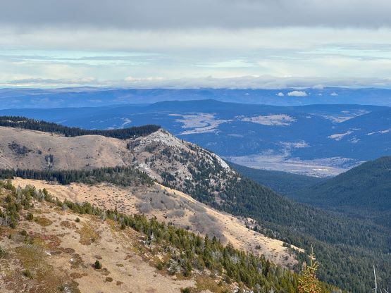
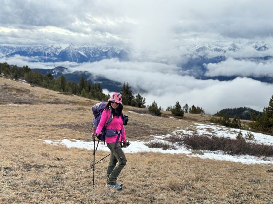
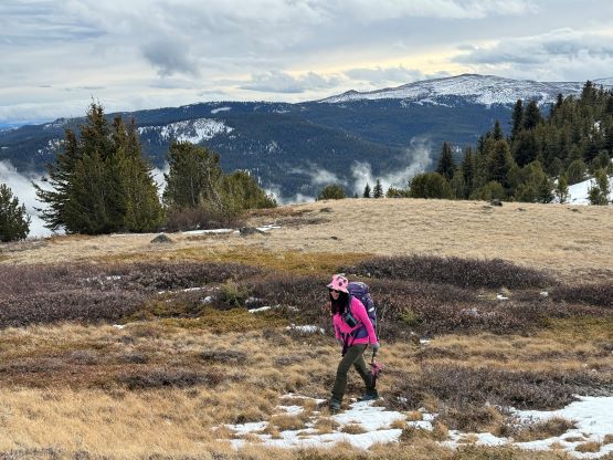
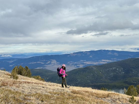
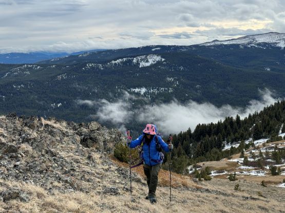
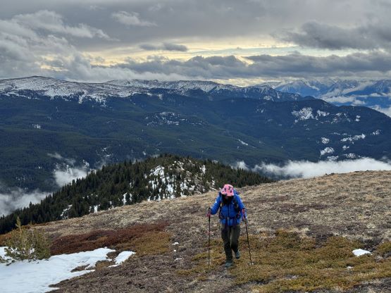
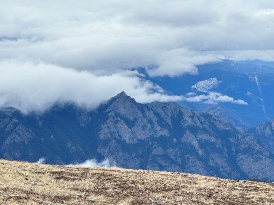
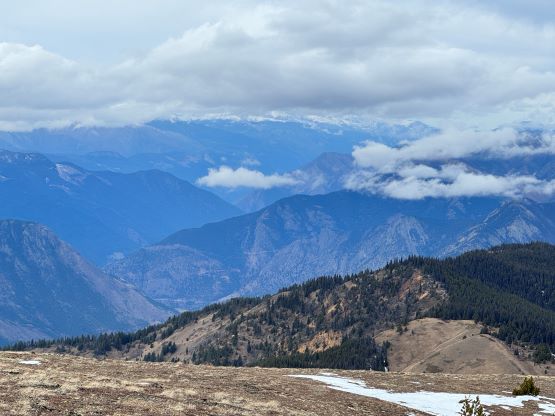
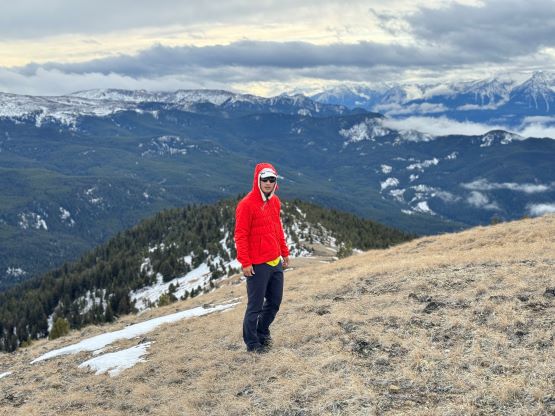
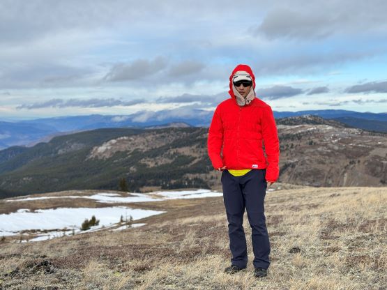
I had a few route choices in mind when planning this exploratory route and the most direct option was to ascend the steep south-facing slopes directly above Peanut Lake to gain the broad S/SE Ridge of Moore Peak. It was not possible to tell from satellite images if this slope involves bluffs and the contour lines were looking quite scary, but in the end it turned out to be trouble-free. There was some minor bushwhacking over pick-up-sticks but the going was mostly in open forest. The slope angle was actually not insanely steep nor did we encounter any notable scrambling section. We did take a few breaks as the grunt was overall very steep. After gaining the SE Ridge we turned climber’s left and plodded into the treeline on the south ridge. We encountered snow up to only ankle deep so the boots and the crampons had become training weight. The final 100 m ascent to the summit was done in open terrain and we actually got some nice views despite the iffy weather forecast. The summit was unfortunately cold and windy.
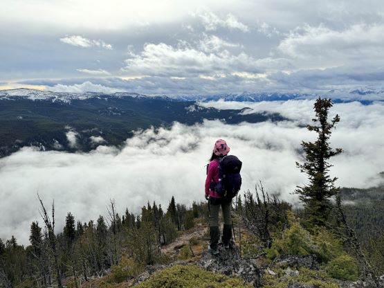
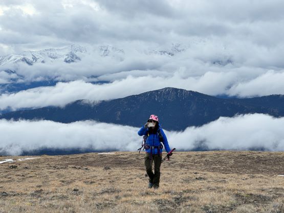
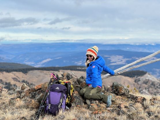
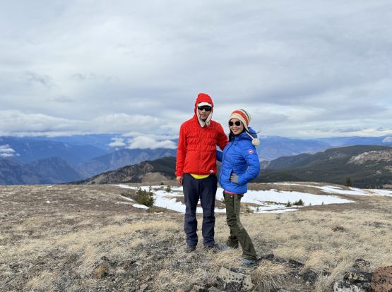
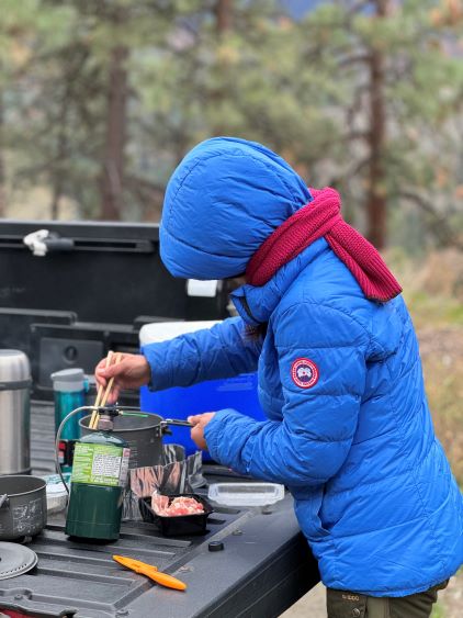
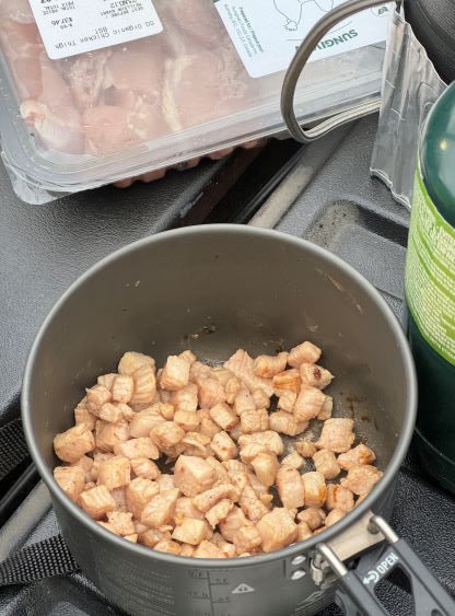
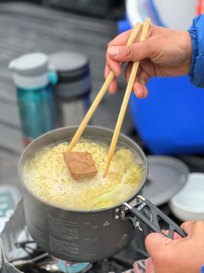
Due to the cold winds we had to retreat immediately after taking in enough of the views. The plan was to descend the exact same path that we took on the way up. It was disorienting in the forest so I made sure to check the GPS screen regularly and we only got off track for a brief moment near the very bottom. We took the last energy break and then dashed out in a single shot, jogging some of the trail sections. Our round trip time was under 7 hours on a leisure pace so Moore Peak was overall not as difficult as I thought. En route back home we stopped not far from Lytton to cook our own dinner. Kate had brought a lot of camping stuffs so we might as well use them.