Dolomite Peak
July 21, 2013
2998m
Icefield Parkway (South), AB
After our long trip up the true summit of Rundle, Mike and I were demotivated and tired so a shorter ascent made the most sense. My preference was still a “difficult scramble” since many peaks had already come in shape. Dolomite Peak seemed to be the perfect choice. This is one of the more eye-catching objectives along the Icefield Parkway as it appears like a series of jagged pinnacles. While most of the towers require rock climbing the two highest (towers 3 and 4) are non-technical making this peak an aesthetic scrambling ascent.
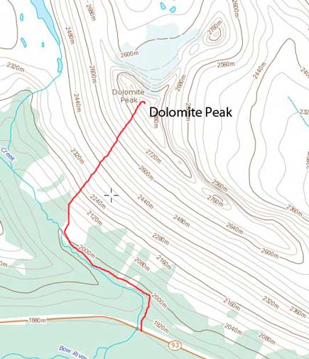
Dolomite Peak scramble route
We managed to start from the Helen Creek trail-head by 5:45 am as we’d like to get back home early, if possible. The trail goes up steeply on the left side of Helen Creek over a hill, and levels out while turning climber’s left. After about 20 minutes or so we crossed the creek using a couple unstable boulders. We kept following the trail for another 10 minutes or so to the big avalanche path that Kane’s book mentions. From here our goal was simply going up. There wasn’t much to say about this, but the views were gorgeous while looking back. Well, it’s always a good idea to start early if you want good views. For this peak, I’d highly recommend an early start. You’ll be on the west facing slope for all day and in the morning, this slope will be in the shade. I never needed to put sunscreen on for the entire day simply because the sun would not hit me on this slope.
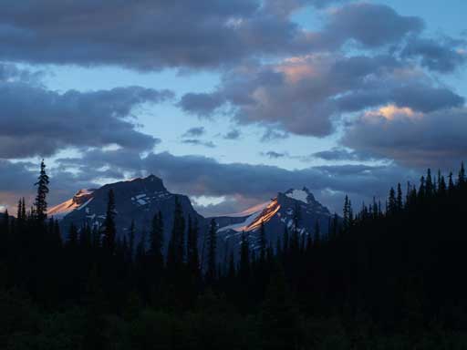
Sunbeam shone on Andromache and Hector

Bow Peak

BowCrow Peak

Crowfoot Glacier
Cirque Peak was my first scramble in the Rockies.
Towards the end of this foreshortened slope, we would traverse climber’s left aiming towards the gully between tower 3 and 4 (tower 4 is the true summit). Rockfall is a real hazard in this gully but the scrambling was mostly moderate with a couple odd difficult steps (on good rock). Compared to what we just did the day before, this is really nothing. There were also a couple cairns marking the way and it’s near impossible to get lost. The summit view was gorgeous. This is probably one of the best viewpoint of Mount Hector.

Higher up. We gained elevation in no time up this slope.

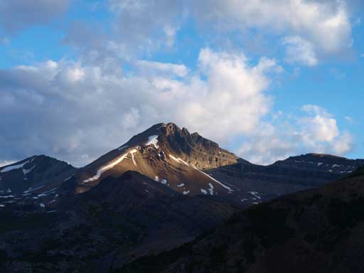
Andromache and Hector
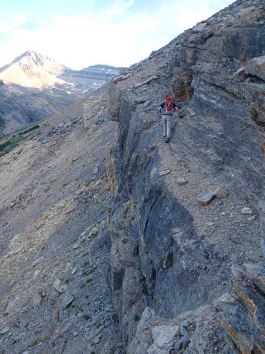
Mike traversing a loose dirt covered exposed ledge. I ascended on climber’s right.
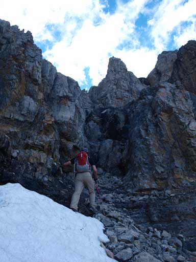
Traversing climber’s left to the correct gully
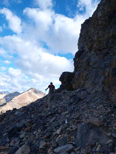
So the scrambling started

Looking up. I think this is part of tower 3

Mike ascending one of the few difficult steps

There’s still a bit of snow and ice. We didn’t need to ascend it though. Route goes up climber’s right here.

Looking down at the gully. A bit of rockfall zone…
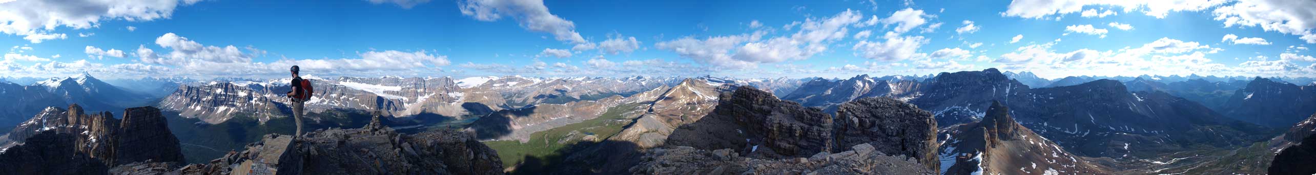
Summit Panorama. Click to view large size.

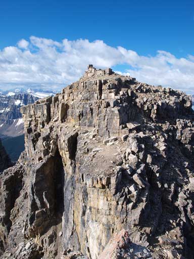
Looking down to the impressive tower 5

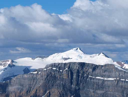
Mount Hector, one of my favourite ascents

Bobac Mountain on left
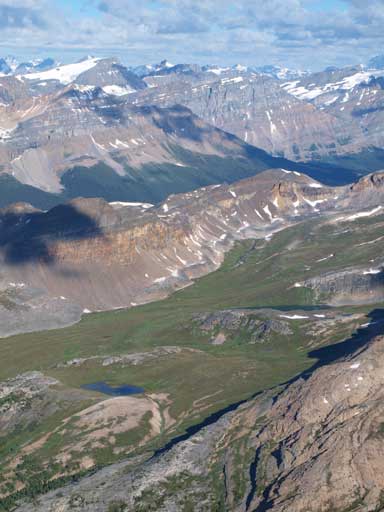
Looking down at a small tarn, and Helen Lake

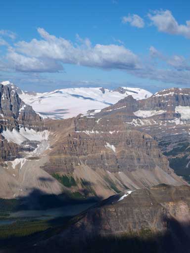
Cirque Peak
Mount Balfour
Looking south towards the Lake Louise group

A long shot of Crowfoot Mountain

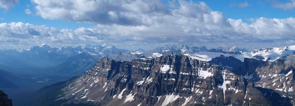
Panorama of familiar peaks west of Mistaya River
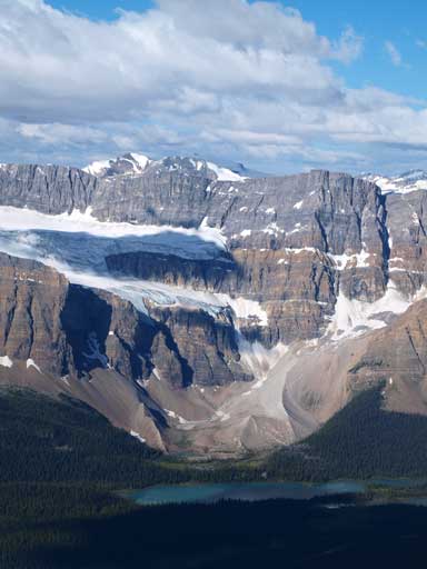
Crowfoot Glacier and a bit of Bow Lake
Rhondda and Habel, two of my favourites
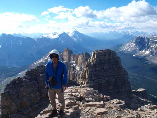
Me on the summit
We also went up a sub-summit to check out the views. It’s worthy to go up there since you’ll get more impressive views of the other side. We didn’t bother to go up tower 3 though. On the way down we took our time not knocking a ton of rocks to each other, and once through the major gully, we went straight down looking for good screes. We made a mistake traversing skier’s left at the lower cliff bands and got cliffed out. We backtracked a bit and went down its skier’s right side and followed the slope back to treeline. There was a flower field to hike through which added to the fun. Once back to the trail, it’s merely a simple hike back to our car. Our round trip time was just under 6 hours.
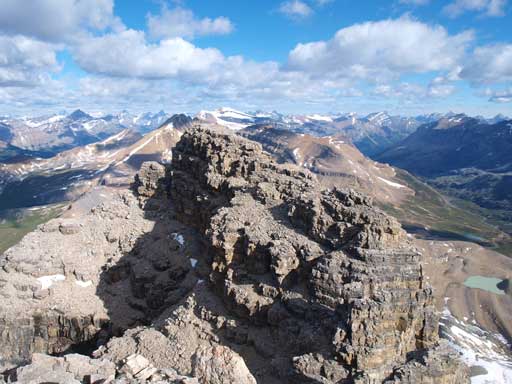
Looking back towards the summit from the sub-peak

This sub-summit gives better view towards the east side

A closer look at the two pinnacles. Has anyone been up there?
We didn’t do tower 3.

Mike on the sub-summit
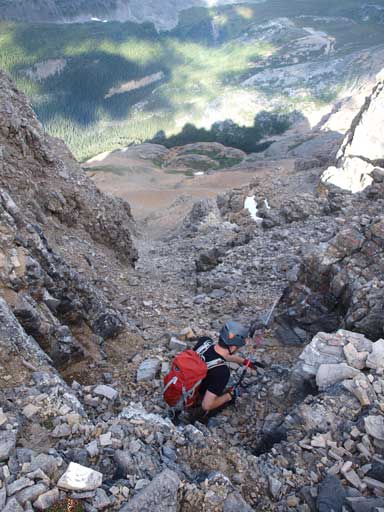
Started the descent

Typical terrain on the lower part of this big gully

Flowers
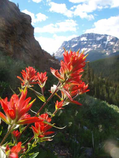
Paint brushes

Hiking through a field of flowers
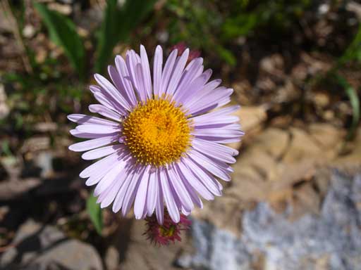
Aster
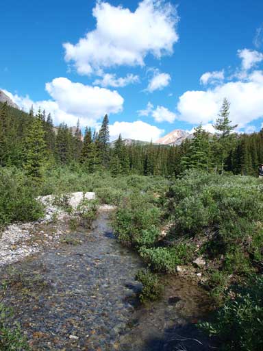
Back to Helen Creek
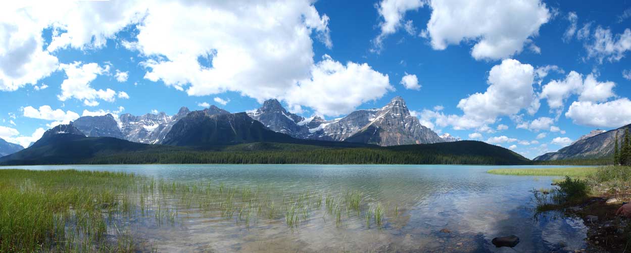
We stopped at Upper Waterfowl Lake to check out condition on Mt. Chephren.
