Conscience Peak
April 23, 2022
2540m
Pemberton Icecap, BC
“Conscience Peak” is the unofficial name of a high summit on Pemberton Icecap. The peak might not seem to rise much above the icefield as it basically locates in the center of the icefield’s mass completely surrounded by glaciers, but still boasts 300 m prominence and a profile that is recognizable from distance. This is a relatively unheard summit in either the skiing or the peak-bagging community. The unofficial name is one reason, but the most obvious cause is the remoteness. Eric G. and I had a discussion about which peak might be the deepest on the icefield from any accessible logging road and the conclusion was likely “Conscience Peak”. The two of us were originally planning to ascend it in addition to the foursome bag one weekend prior, but pulled the plug due to snowmobile problems and the lack of time. With decent-but-not-the-greatest weather forecast we agreed to redeem ourselves sooner than later, but we wanted to have additional snowmobiles coming together for safety.
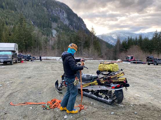
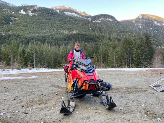
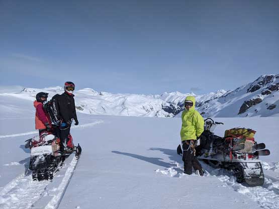
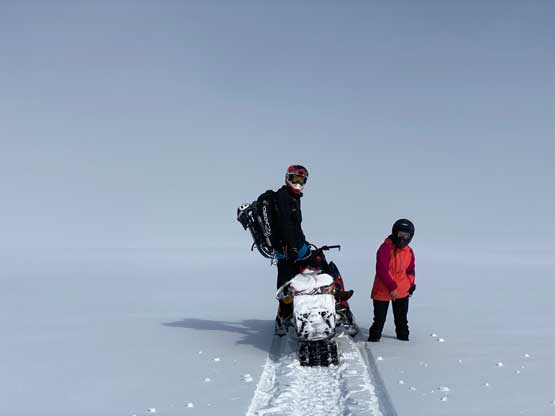
It took me a few days to find additional team members and the process greatly reminded me the difficulty in planning and executing helicopter camps in the past years. The main problem is the lack of snowmobilers keen in peak-bagging, or should I say the lack of peak-baggers who own, and has the experience/skills to snowmobile complex terrain off a groomed trail/road. Eventually Derek and Elise decided to join so we had two snowmobiles, at last. The meet-up time was 7 am at kilometer-5 on Rutherford FSR near Pemberton but I anticipated a long day ahead, so to get some sleep I opted to drive to Squamish at midnight and sleep inside my passenger car outside Derek’s home. At 5:30 am Elise and Derek got out and I got a ride in Derek’s monstrous truck to Pemberton. The snowline had slightly crept up by about 200 horizontal meters and there wasn’t any additional spot to park so we still had to park at the same spot. About half an hour was then spent unloading the sleds.
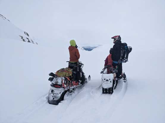
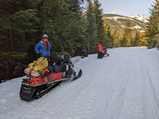
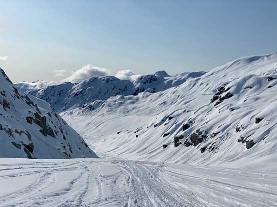
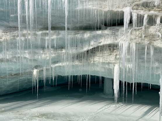
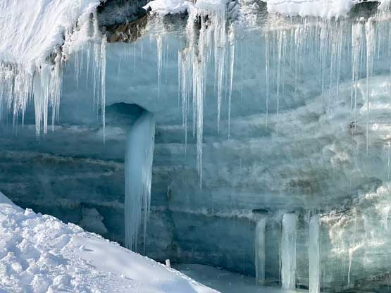
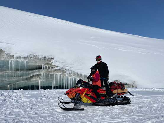
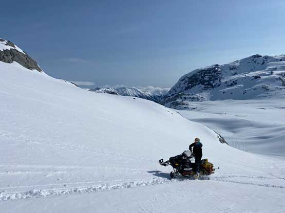
Derek and Elise already had their system of riding with Elise sitting/crawling in front holding tight to the wheel. Eric and I decided to stick with our “sitting method” which eventually proved to be much worse for both the rider and the passenger. The grooming was already done for the season so the whole approach to the cabin was riddled with whumps and they were endless. I was getting extremely uncomfortable sitting. I held as tight as I could to the single strap and it was still difficult to control both the forward/backward and the horizontal disturbances from those whumps. It did not help that I couldn’t see much as Eric’s blocking the views. Derek and Elise had their own problem as their snowmobile was constantly overheating and they had to stop about 10 times to cool down the machine. And then somewhere on the steep stretches before the emergency shelter the loads on Eric’s snowmobile slid off, so another 15 minutes were wasted to re-strap them on. I figured the extra fuel jug offered very minimal friction among surfaces, so we re-positioned that jug and hoped for better. The four of us then re-grouped at the cabin and sledded onwards onto Appa Glacier. The riding on the glacier was similar to the weekend before with lots of fresh snow but slightly harder as the tracks weren’t as abundant. We rode up and over Appa Glacier and then down and around Longspur Peak to the broad pass between Longspur and “Famine”. We then dropped 500 m down to the toe of that glacier. Eric and I followed Derek’s lead to check out an ice cave. This one was rather obvious for the sledders but there were a ton of “secret” ones on various parts of this icefield. Eric was sure that we found one last weekend but we didn’t have time to check out.
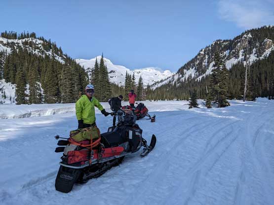
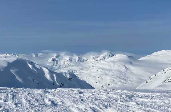
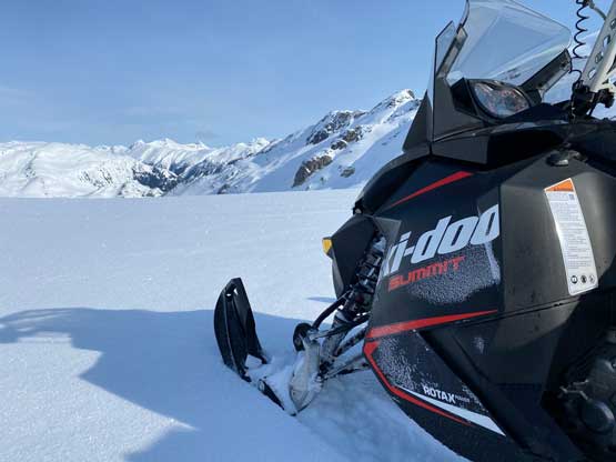
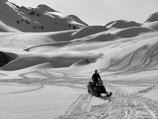
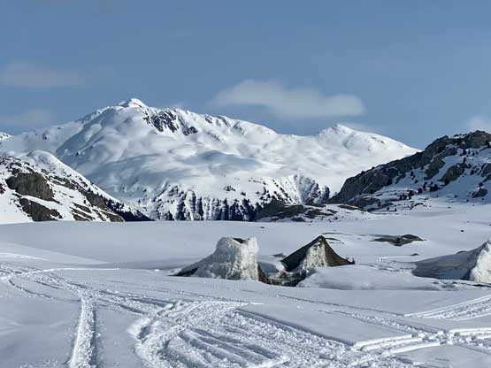
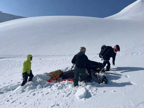
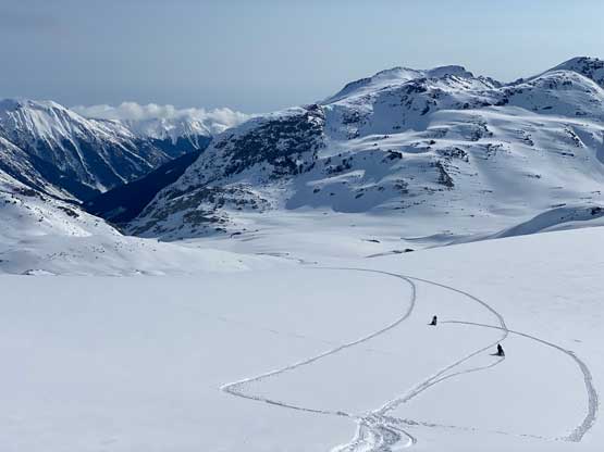
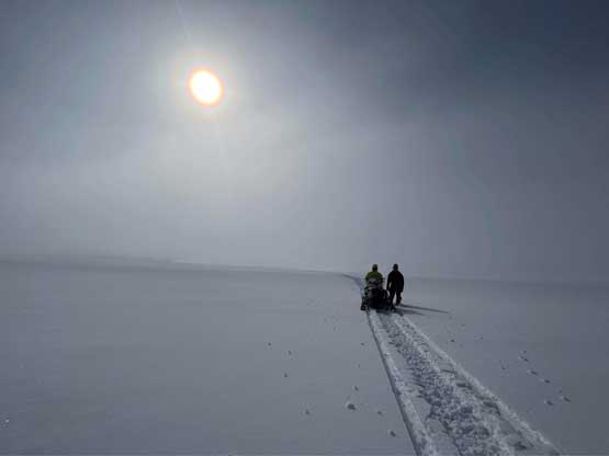
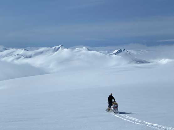
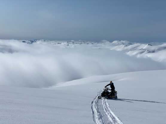
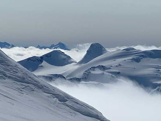
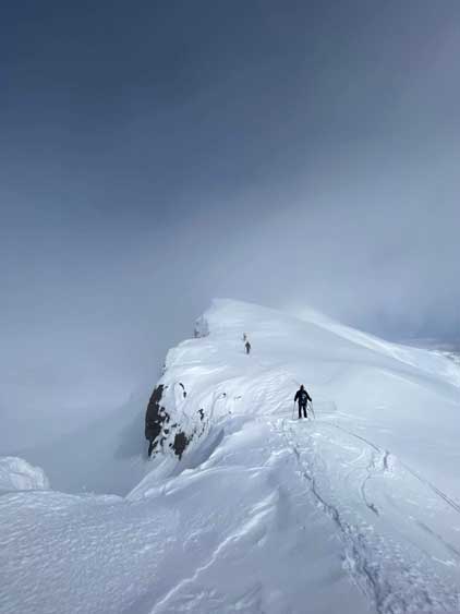
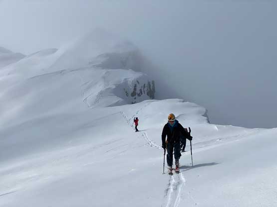
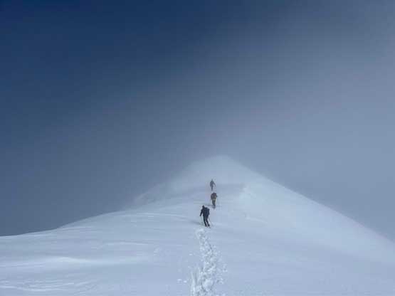
The existing snowmobile tracks had all stopped at this ice cave so from this spot onward we were on our own. We could still find old tracks buried in at least one or two foot of fresh snow but those tracks were rather intermittent and not very useful for following. Derek then led us ascending a different gulch feature towards the main bulk of Pemby Icecap and this section was the crux for this snowmobiling route. Eric and I had lots of troubles. Firstly we weren’t able to make even a slight side-hill traverse and were forced to do some circles and then we got our sled stuck in deep snow. A few minutes of digging by hand saw Derek sledding back to rescue us. To reduce Eric’s loads I opted to post-hole uphill until the slope angle eased a bit. Eric and I then switched to Derek and Elise’s sitting positions and it seemed to work out better, but we lacked their experience. Upon trying to sled up the next hill we flipped the machine and thankfully I was able to roll away without getting caught. A few minutes later Derek sledded back again to help us unstuck the machine. Again, I opted to just post-hole uphill to make Eric’s sledding a little bit easier and thankfully after this stretch the slope angle finally eased and we were on the main bulk of the icefield. Unfortunately a layer of low clouds engulfed in and we were in a white-out. Derek was leading in front into the ping pong ball and we had to stop the sleds every few minutes so that I could check the GPS to confirm/correct our bearing. A few kilometers later we magically broke above the cloud layer and then had a blast ripping to the base of the summit pyramid of “Conscience Peak”.
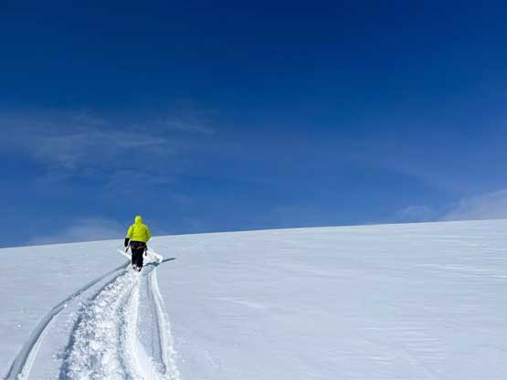
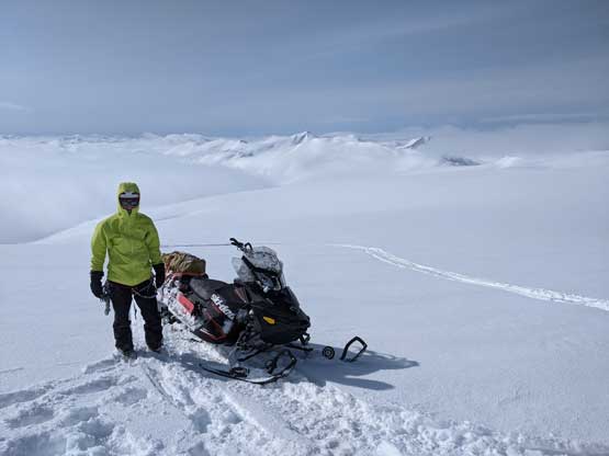
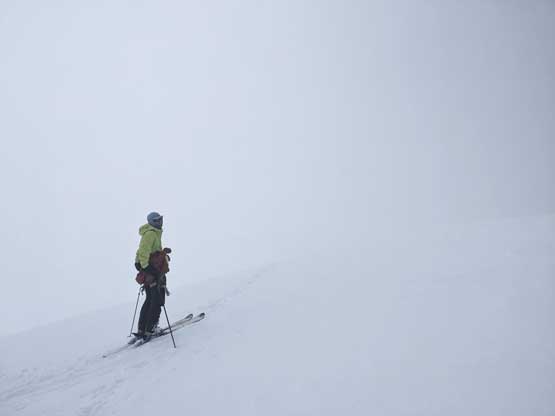
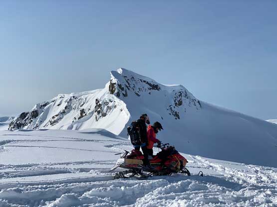
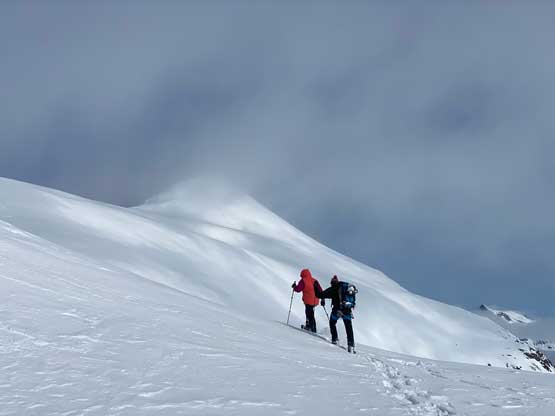
With only 100 m elevation gain and under 1 km horizontal distance we didn’t even need to carry a backpack. Eric and I were on skis and Derek/Elise were on snowshoes and in no time we were on the summit ridge. The peak was looking pretty good but the clouds were back. Eric and I ditched the skis below the summit and we all boot-packed up in a white-out. We waited on the summit for at least 15 minutes to no avail, and reluctantly agreed to retreat.
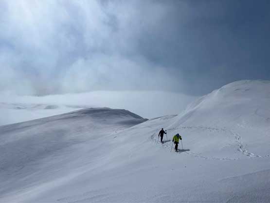
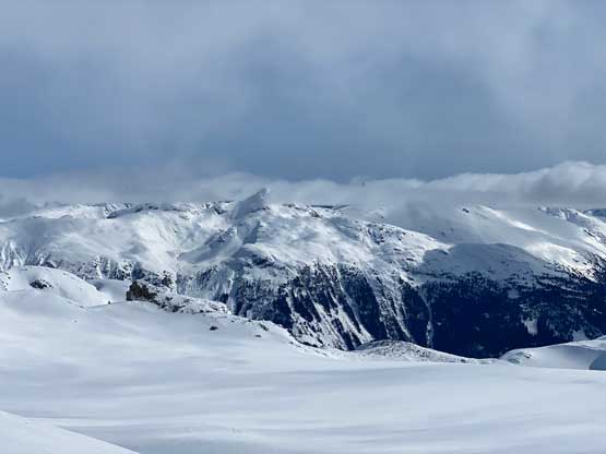
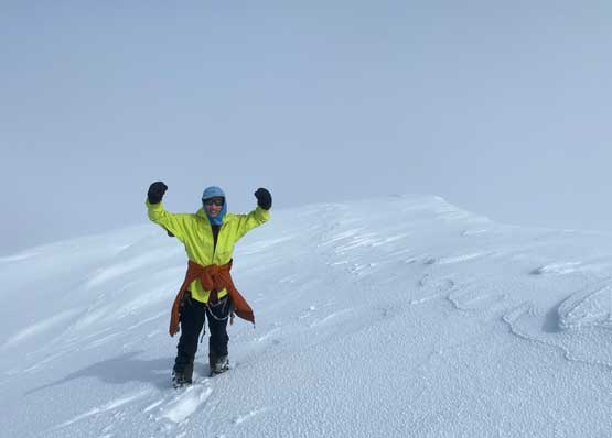
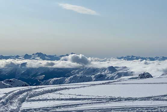
I was disappointed to summit the most remote peak on Pemby Icecap with no view but sometimes you cannot win them all. The skiing back to the snowmobile was fast and fun and no time we were riding again. The navigation in the white-out was initially okay as we were just backtracking our own tracks, but at some point we had to leave the tracks to aim towards the very broad pass between Conscience Peak and Famine Peak. Multiple stops were then needed to check the GPS devices but then we exited the clouds layer and now we were below the clouds. The navigation wasn’t getting much easier as the light was flat and there was no track to follow. It was then a wild, but fun journey sledding to and climbing our next objective, Little Ring on the far southern edge of Pemby Icecap.