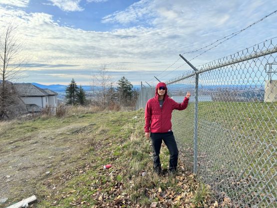
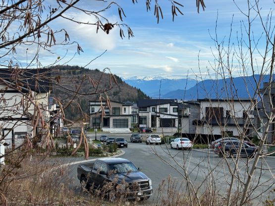
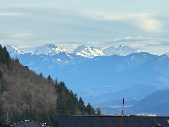
“Eagle Mountain” (Abbotsford, BC)
December 15, 2023
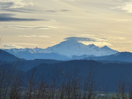
315m
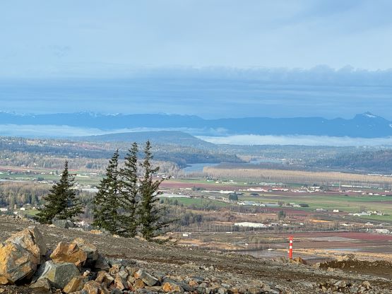
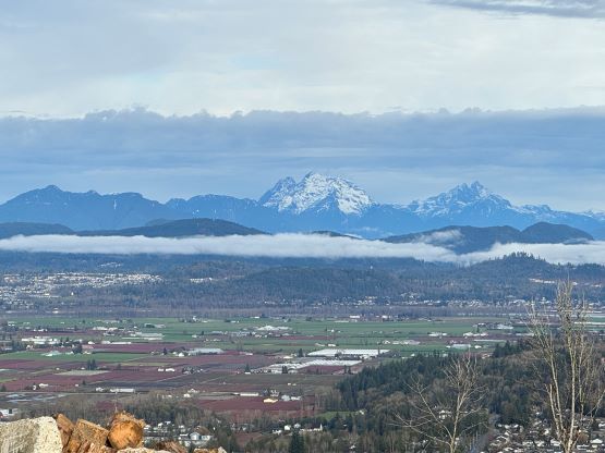
Abbotsford, BC
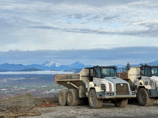
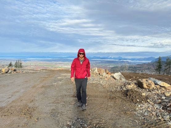
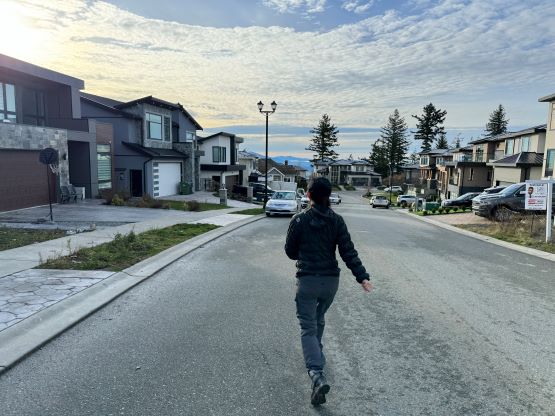
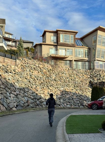
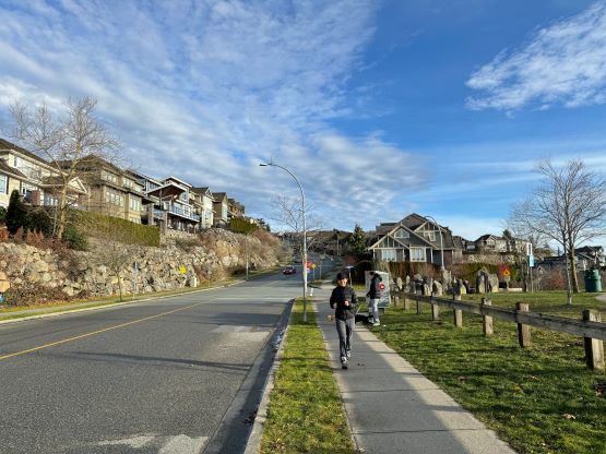
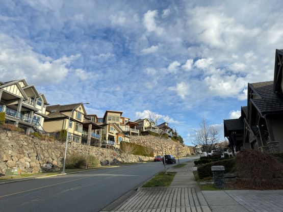
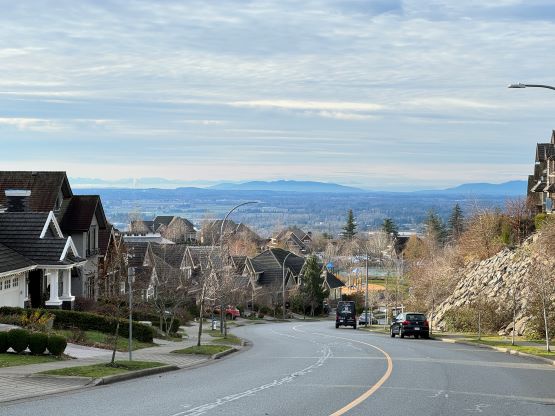
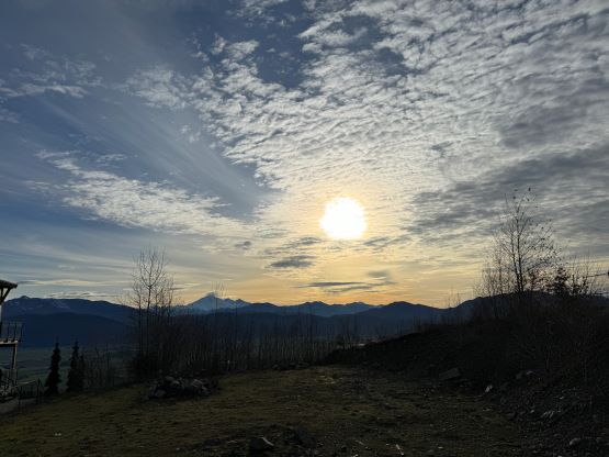
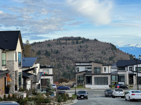
“Eagle Mountain” is the unofficial name of the smallest “P100m” bump on the lower slopes of Sumas Mountain. I had ignored it for years but it needs to be bagged somehow. The area is entirely developed for residential uses so this objective falls into the category of “urban hikes”. One can drive to basically the summit, but I wanted to at least gain some of the elevation on foot. My original plan was to park at the bottom of the hill to gain more or less the full 300 m elevation, but opted to park more than halfway up at Eagle Mountain Park due to time limitation. Cat and I did not leave White Rock until 8:30 am and we must get back no later than 11:20 am for another commitment. This return deadline did not pop up until the very last minute so I was forced to change the plan.
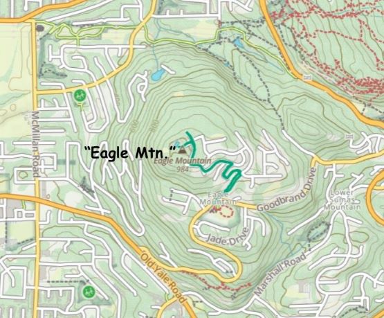
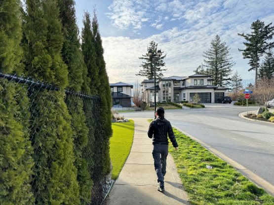
Our first stop was actually the A&W in Abbotsford for breakfast as otherwise I would be too hungry to do anything. This costed us an additional half an hour, so our hiking time was limited to about half an hour. Even by parking at Eagle Mountain Park (~270 m elevation) and walking from there was pushing the limit, but I really did not want to drive to the top. There were a few junctions and I used the Gaia map to direct us to the summit. The walk was longer than I thought such that we were almost doomed to be late.

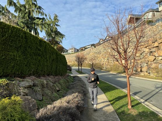
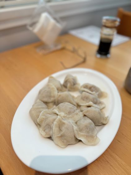
On the descent I suggested running and this was a good decision. The descent was much quicker than I thought such that we finished the round trip in 37 minutes. I then sped our way homewards passing numerous large trucks (at times, dangerously) on the 16th Ave. We eventually got back at 11:23 am which was considered “okay”. About an hour later we drove out to Burnaby for lunch at our favourate dumpling place.