Butler Hill
November 24, 2022
270m
Burlington, WA
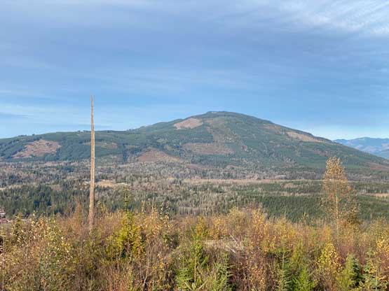
Butler Hill is one of the lowly objectives in the vicinity of Burlington but this one actually offers some interesting views and problem solving. I noticed this hill a few weeks ago and decided to wait until I got my fatbike back from Matt’s shop. It turned out that I went for Butler Hill the next day immediately after I brought the bike back. The weather was fantastic so I went out anyway even though I slept in till 10 am and needed to be back home by 5 pm for work. Thankfully the first hour of work (3:30-4:30 pm) got cancelled as otherwise I wouldn’t be able to squeeze this outing in.
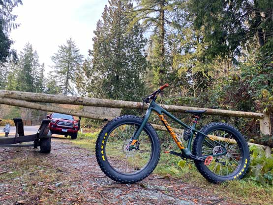
I didn’t manage to drag myself out until 12 pm after having a massive meal at home, and subsequently didn’t make to the base of Butler Hill until 1 pm. The border crossing was fluent going into the U.S. but I noticed an insanely long line-up for the northbound. I wasn’t aware until coming back home that this was actually in the American’s Thanksgiving. In any case I decided to try out the NE access but immediately got denied by a gate with aggressive signs of private properties. I would still risk this private road if this was the only option, but thankfully it wasn’t. I then drove a few kilometers back and went for the western access. This road turned out to be gated as well but at least there wasn’t any aggressive stay-out sign, so I parked the truck and unloaded the bike.
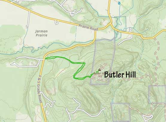
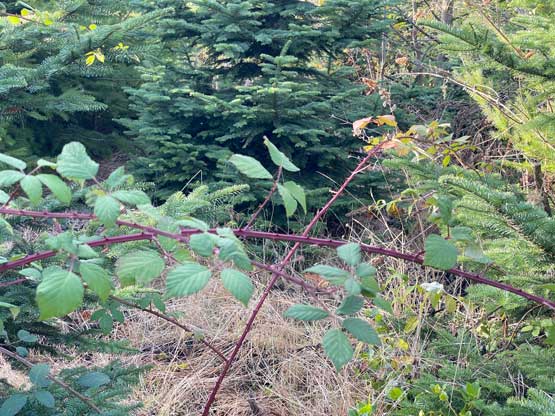
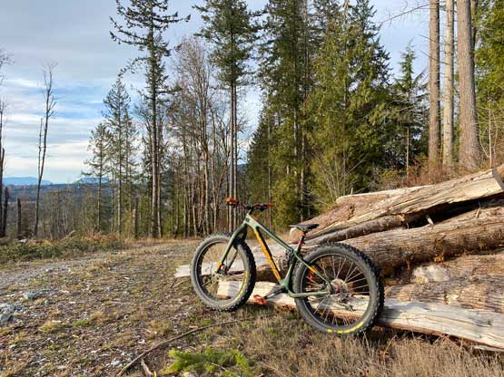
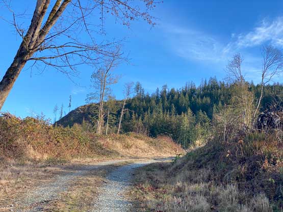
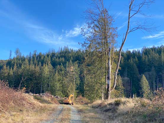
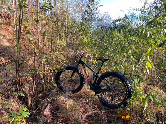
The road portion is under 2 km so biking wasn’t strictly needed but I liked the added fun. This also gave me at least half an hour’s contingency to definitely get back home for work. I managed to pedal all the way to the end of the maintained road and even pushed the bike over a short stretch of overgrown road. I had read Fletcher’s trip report in which he describes “bad bushwhacking” and that’s also the reason why I initially picked the less intuitive eastern access, but now I had to face the same problem as he did. The road quickly became impassibly bushy even for foot travel, so I ditched the bike and dived into the secondary growth forest, hoping the bushwhacking wouldn’t be that bad.


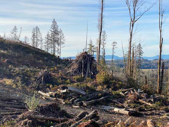

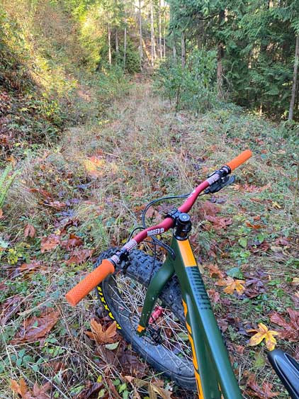
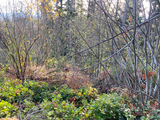
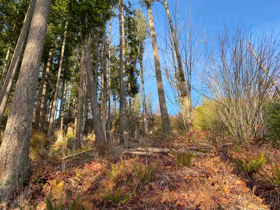
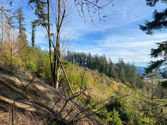
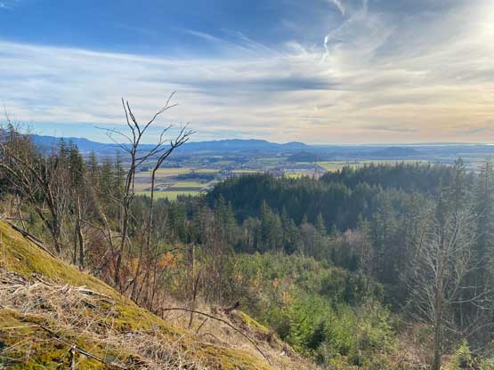
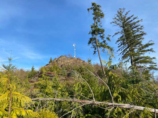
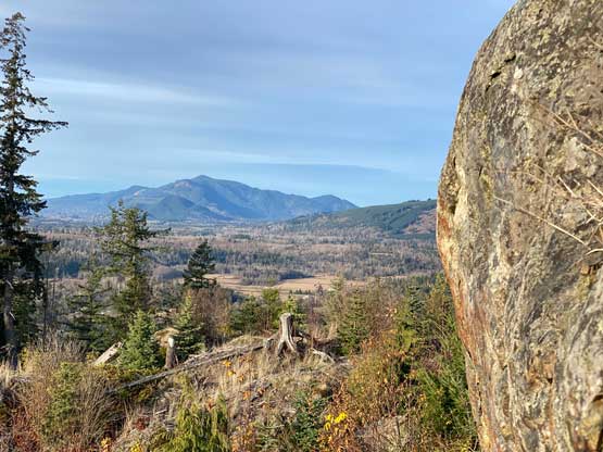
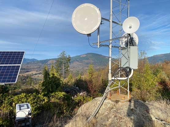
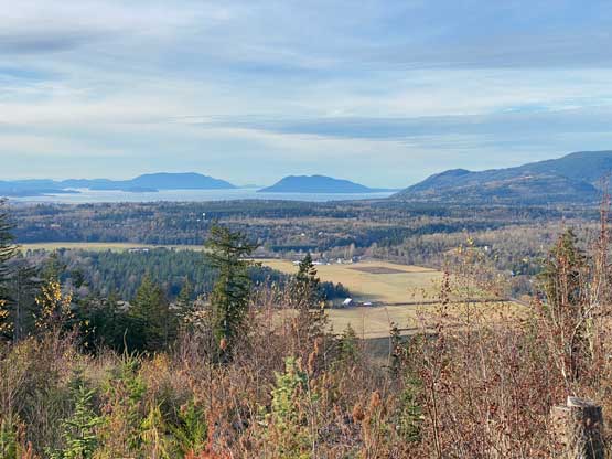
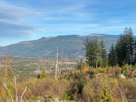
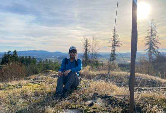
The hope for pleasant-ish forested travel quickly turned into hopelessness. The bush was actually not too dense, but contained a significant deal of prickly plants. Not bringing the trekking poles started to become a mistake as it’s much harder to avoid touching the brambles without the poles to help balancing. I also encountered a series of short steps of scrambles including two stretches of legit 3rd class. Eventually I did top out onto the false summit where the view was actually better. Unfortunately I’m a peak-bagger so traversing to the less interesting true summit was obligated. More thrashing followed and thankfully I managed to descend onto a bush-free logging road (that comes up from that private side). To get onto the very top I still had to leave this road for a short ramble and the view was largely obscured by the communication towers.


I wasn’t doing particularly great on time so I immediately started the descent. Instead of trying other options I had to descend the same way as I had left the bike at the road’s end. I did manage to avoid the 3rd class scrambling sections and also picked up game trails here and there, so the downwards thrashing was actually not too bad. The biking descent then took no time and I still finished the outing in just over an hour’s round trip time. Now I was sure that I wouldn’t be home late so I took my time driving northwards. I made sure to take the Pacific Crossing instead of the busy Peace Arch, and with the NEXUS card I managed to drive through the border with hardly any delay. I even earned myself an hour’s time to relax before showing up for the exhausting work, that lasted all the way to 10:30 pm.