Grasshopper Mountain
September 28, 2021
1503m
Coquihalla Pass / Tulameen, BC
There are about a dozen forested summits, all officially-named, to the west and north-west of the small mining/logging village of Tulameen and Grasshopper Mtn. is one of those. This peak is a bit farther from Tulameen and is actually easier to access from Coquihalla Pass side. The logging road system connects Tulameen to Coquihalla Pass and the area is very popular among hunters, local 4-wheel-drivers and snowmobilers in winter. Brandon and I had spent almost an hour sitting in the Diary Queen browsing various maps after Blue Mountain’s ascent, and eventually decided on Tulameen area. Brandon was set to bag 200 summits in this year so “quantity” was more important than “quality” on this particular day. We picked this area because it has a high density of easily-accessible officially-named summits and is relatively closer to home. Anywhere closer to home would be very rainy and even this spot had some showers in the forecast.
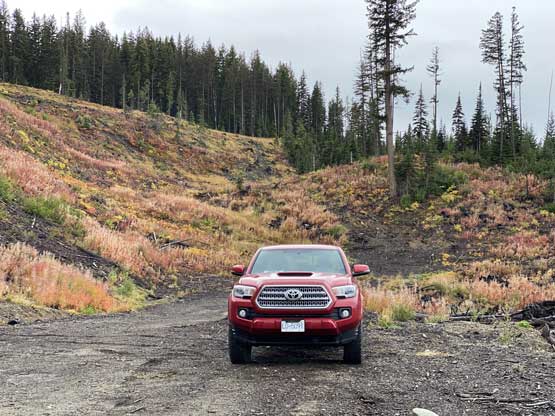
We determined to maximize the use of daylight so opted to meet in Abbotsford at 5 am so that we could turn onto the logging roads near Coquihalla Pass at daybreak. The weather had been better than expected such that we could even see some glimpses on blue skies to the east of the pass. We left the highway at “Coquihalla Lakes” exit and initially followed the same road system as to approach Coquihalla, Illal and Jim Kelly Peaks. Upon reaching the first major fork somewhere 10+ km into the drive we took the left fork and a few kilometers later we took the right fork onto “Grasshopper FSR”. The status of this road was somewhat unknown but the conditions turned out to be “decent”. We drove passed the turn into Murphy Lakes recreation site all the way to the very base of Grasshopper Mountain. We opted for the SW approach. The other spur roads appeared to climb higher on the NE flanks but that would add considerable amount of driving. I figured that the SW approach would probably be faster overall if taking in account the drive. We drove to the very end of the spur road and parked. We thought this area was logged likely not too long ago.
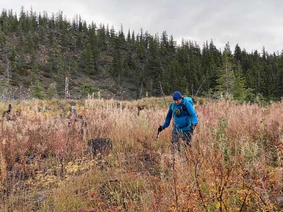
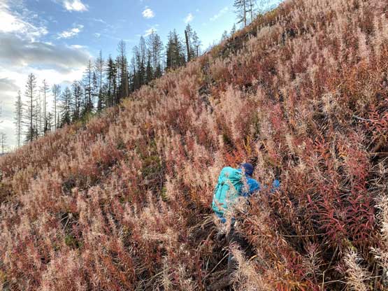
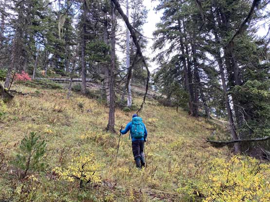
I was sure there were better ways to get this hike started but we picked the steepest and the most direct route from the truck. The going up through the cut-block turned out harder than expected especially given how wet and slippery the bushes were, but the steepest terrain was overall a short haul, so we just persisted through. I made some mental notes to descend farther towards west on the return but we ended up not bothering with that neither. Brandon then took over the lead to get us through some confusing terrain with minor bushwhacking to access the SW Ridge.


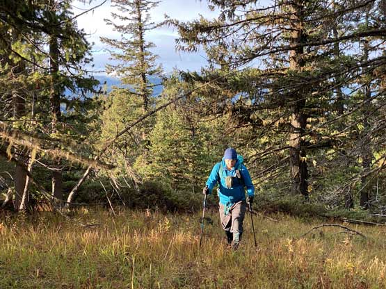
The plod up along the broad SW Ridge was actually quite enjoyable. We actually got some sunshine and some views which none of us came here expecting. At one point we crossed what seemed like an old logging road and followed it a short ways towards the summit.


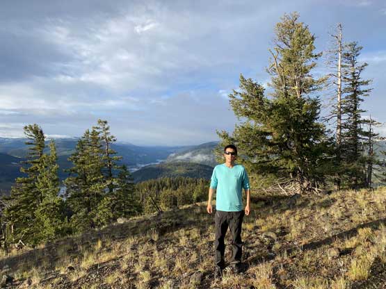

The view from the true summit was rather mediocre and we also had a long day ahead so the summit stay was short. We determined our ascent route was overall decently efficient so we mostly just retraced the exact route we took. That involved frequent GPS navigation. Near the end I thought about to take a gentler line down that cut-block but opted to just take the direct route. I figured despite the unpleasantness, that cut-block wouldn’t give us any trouble overall. Grasshopper Mtn. turned out to be a not-so-bad warm-up objective for this day and in the next couple hours we’d slowly drive towards Tulameen and en route we tagged Mt. Rabbitt and Mt. Riddell.