Mount Barr
May 30, 2021
1907m
Jones Lake / Hunter Creek, BC
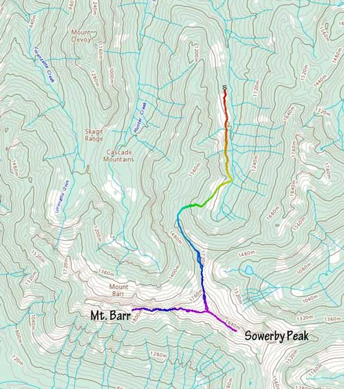
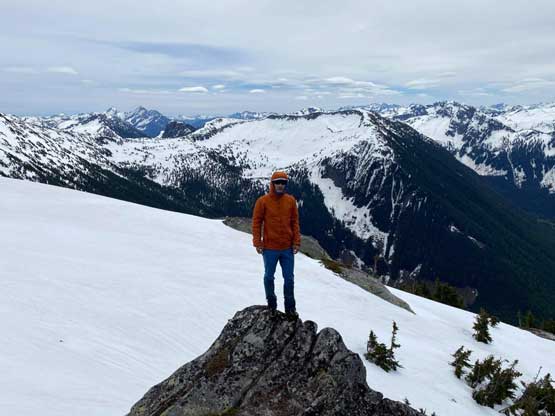
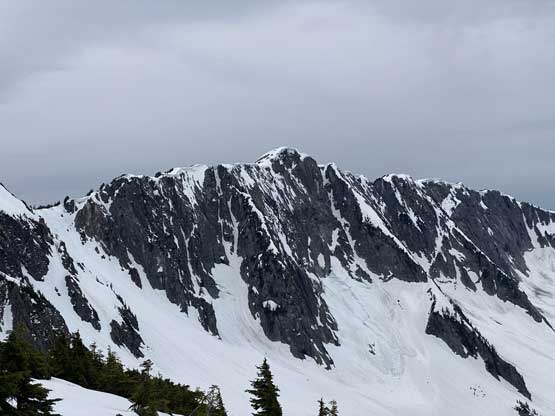
Mt. Barr is one of the summits that loom above Jones Lake on the north side not far from Hope. There’s a taller summit a few kilometers to the east unofficially named “Sowerby Peak” and Mt. Barr connects to that summit via a long and undulating ridge that makes a somewhat iconic profile visible from a lot of places in this general area. The most obvious approach is via a steep bushwhack from Jones Lake whereas a longer but gentler approach can be made from Hunter Creek drainage. Alex and I decided to ascend “Sowerby Peak” from the east fork of Hunter Creek following a recent trip published by Duffy and his “Unnecessary Crew”.
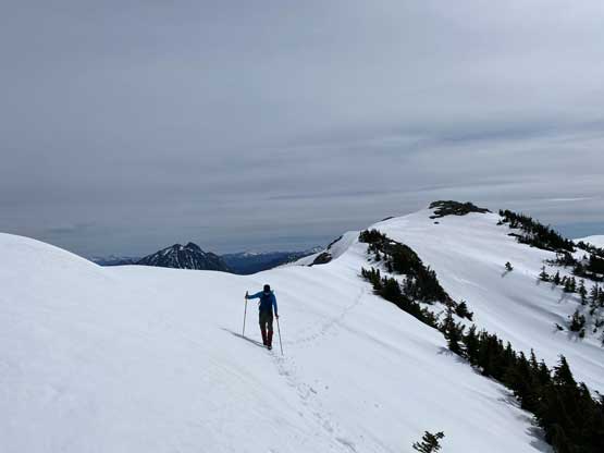
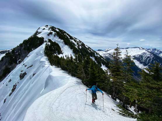
After tagging the summit of “Sowerby Peak” we immediately focused on traversing to Mt. Barr. The other group had tried this ridge traverse but didn’t make it. They encountered some steep terrain and turned around because “some group members did not bring crampons”. Alex and I had studied maps and photos and we had no doubt that the ridge would go. We might or might not need gears but we had them with us just in case.
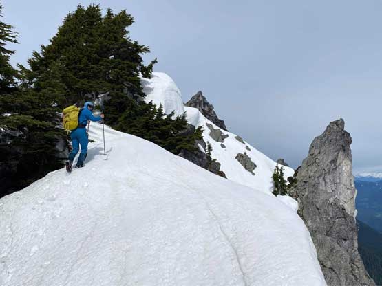
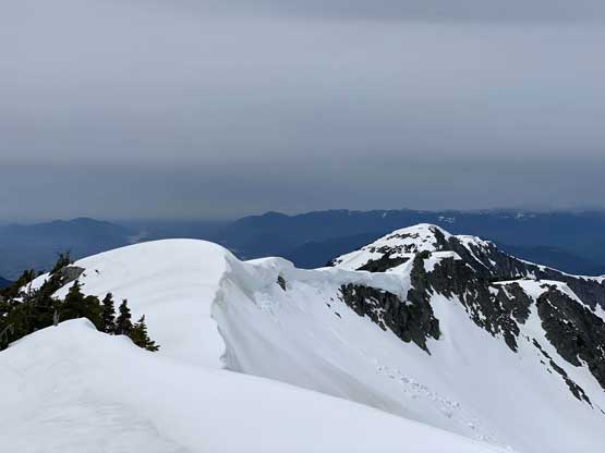
The traverse started off with some narrow spots where we must be careful not getting too close to the cornices. It was nearly impossible to tell the boundary of these cornices so we generally had to traverse far on the left (south) side and sometimes side-sloping on some steep angles. Before long the ridge had become steep and we were looking down at a significant descent to Barr/Sowerby col. This descent had some steep slopes (40+ degrees) that forced us to down-climb facing into the slope, but was not exposed.

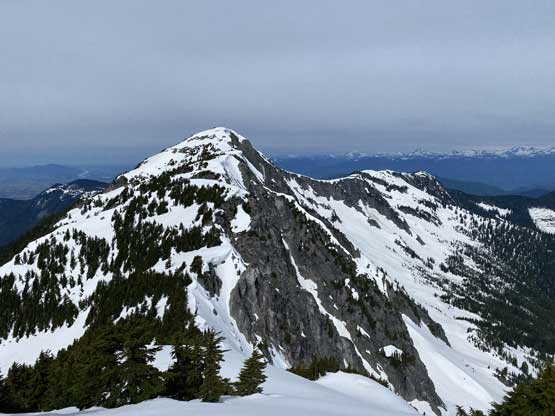
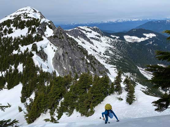
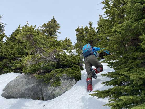
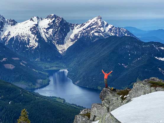
Re-ascending out of the deep col also involved some tricky terrain and at times we had to use “vege belay” to help getting up some steep steps. The route-finding was also on-going the whole way that we constantly had to pick and evaluate the micro-terrain. In general we tried to stick on the ridge crest but it was not possible on some spots. The last 50 m elevation gain to the summit was decently easy and we had better views of Jones Lake from this peak than from the nearby “Sowerby Peak”. We were both tired and I was particularly sleep-deprived so we stayed over an hour on the summit and I even managed to take a nap.


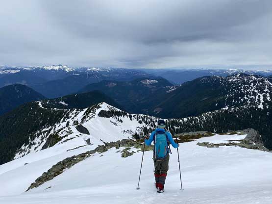
The weather was unfortunately not as sunny as forecasted that we could see some bands of dark clouds moving in from the west. We got up and decided to plod out before the weather rolled in. We both looked hard to find a suitable short-cut that could save the massive 200-m elevation regain back onto “Sowerby Peak” but in the end we decided to suck it up and “go with the known”. None of us was in the mood to down-climb sketchy stuffs on this particular day. The re-ascent was actually not as bad as I thought but did feel like a slog.


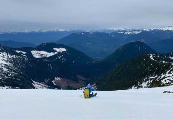
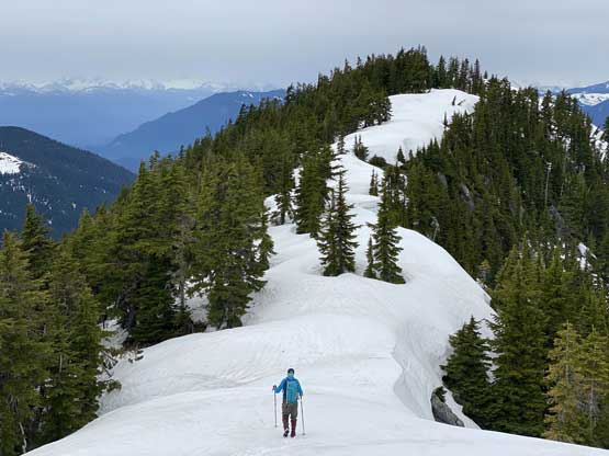
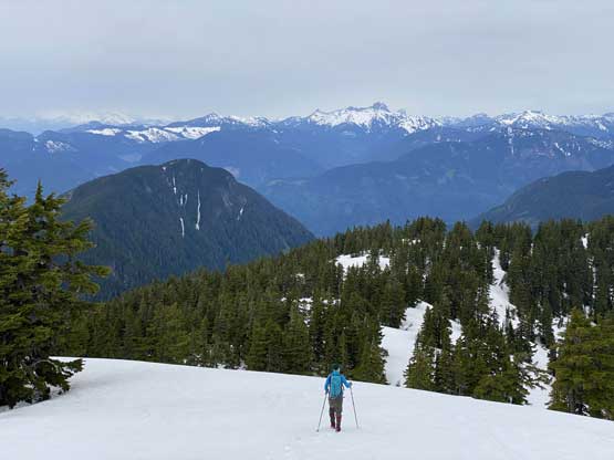
From the west summit of “Sowerby Peak” we more-or-less retraced our own steps back down the north ridge. I even linked up a few long glissades to speed things up. We picked a better line bypassing that subsidiary bump on the north ridge and the snow had softened enough. The plunge down the steep forest back down to the uppermost FSR was very fast and fun but the last few kilometers of walking on the FSR was not so much.


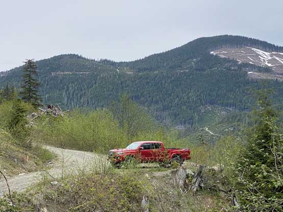
Our round trip time was 7.5 hours including all breaks so this sure was a short trip. I think this is a highly recommended trip best done in “late spring” when the road’s driveable to 950 m but there’s still significant snow en route to cover the bushes. We did not encounter any notable bushwhacking but I had no idea how it’ll look like in summer time.
