Eagle Mountain (Ya-Ha-Tinda)
March 28, 2015
2503m
Ya-Ha-Tinda Ranch, AB
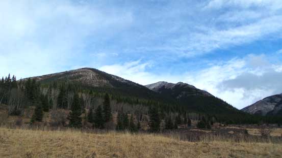
Not to be confused with Eagle Mountain near Sunshine Village (aka. Goat’s Eye Mountain), this one is by Ya-Ha-Tinda area and much less popular in the scrambling community. The name is unofficially assigned by Parks Canada due to its proximity to Eagle Lake and Eagle Creek Campground. The terrain on this mountain is very similar to its neighbours – Evangeline, Rum Ridge and Maze Peaks, and the best time to bag it is during off-season when condition and/or weather doesn’t allow safe ascents of bigger objectives in the main ranges. That turned out to be the case in this past weekend. With a soggy Saturday and a windy Sunday in the forecast Vern, Ben and I agreed to visit Ya-Ha-Tinda again, with Warden Rock being our primary objective and Eagle Mountain serving as a warm-up.
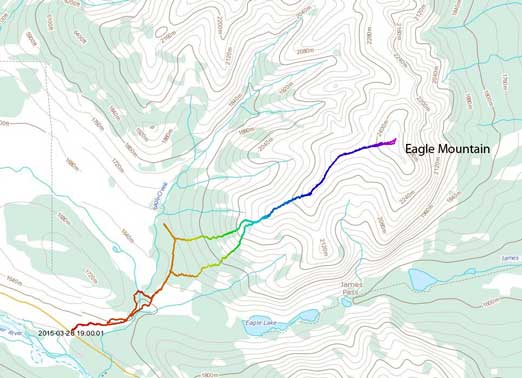
Eagle Mountain scramble route. GPX DL
The scramble up Eagle Mountain itself would be nothing more than a half-day outing for us so Ben and I didn’t need to leave Edmonton by Friday evening. After a lazy start on Saturday morning we eventually drove out of Edmonton by about 9:30 am and met Vern about 3 hours later by the Tim Hortons in Sundre. It was raining the whole way from Red Deer to Olds and our moods were low. However, seeing a band of blue sky towards the west we were trying to be optimistic and hoping the weather to improve. An hour later we arrived at the parking lot by Eagle Creek. And we were right, the weather had indeed improved. So off we went..
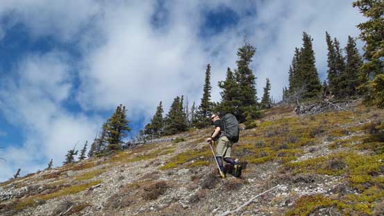
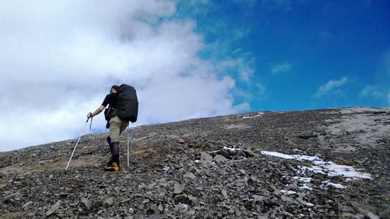
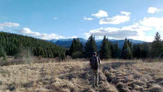
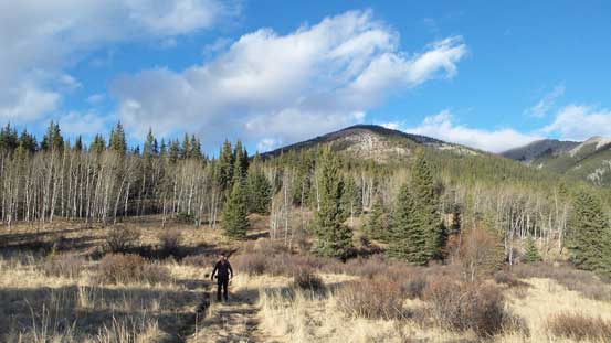
The first 20 minutes or so was following an ATV road (muddy) towards Eagle Lake. A couple confusing and unsigned branches got us off route briefly but my GPS helped getting back on track. After crossing the frozen Eagle Creek we arrived at an opening area with our objective on left. Here we left the official Eagle Lake trail and took a narrower branch leading into the bush. About 10 minutes later we started bushwhacking, steeply up the hill. It didn’t take us very long to arrive at treeline and then the first false summit.
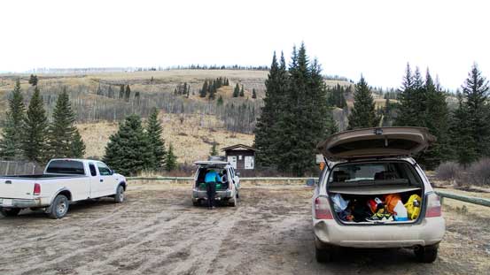
Eagle Creek/Lake parking lot

Pleasant hiking
Arriving at the opening area. Our objective on left
Nice and open forest near treeline
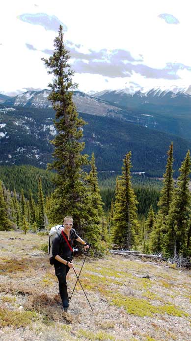
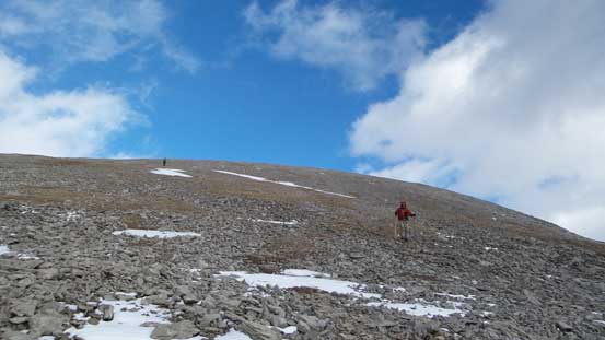
Vern ascending the typical terrain
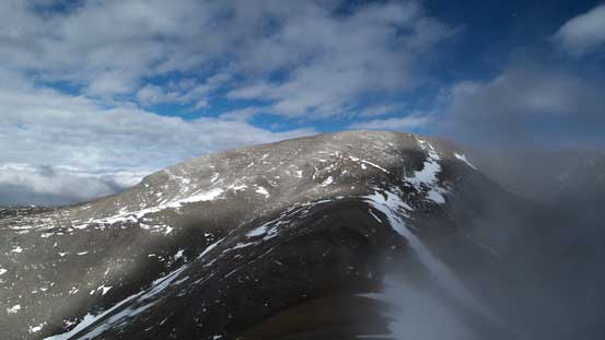
Looking onwards from the first false summit
Vern arriving at the first false summit

Wapiti Mountain brings back some good memories from 2 years ago
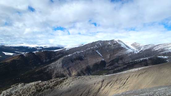
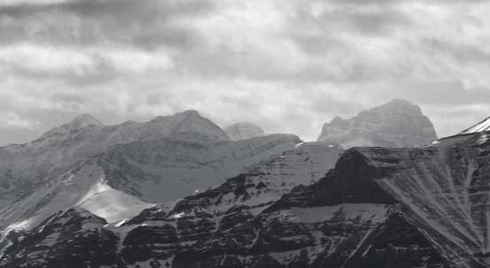
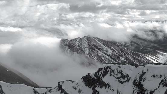
Maze Peak looks impressive from here. We did it in a couple months ago
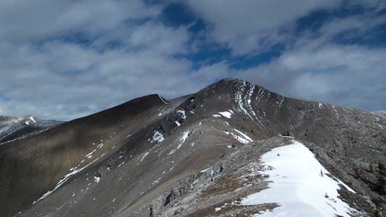
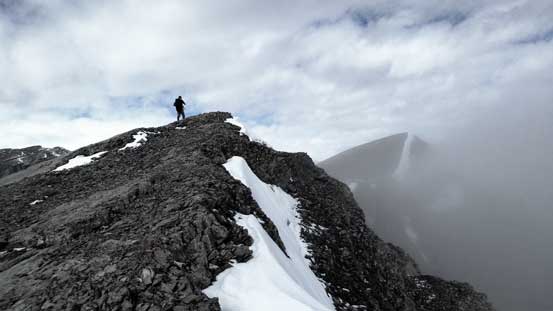
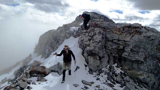
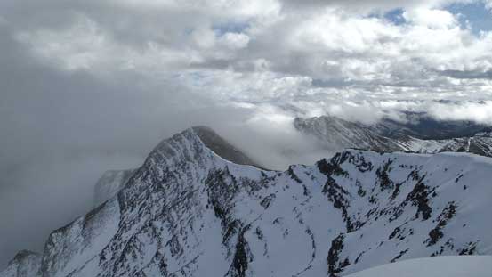
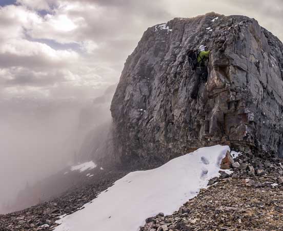
From here we had to overcome at least 2 or 3 more false summits to the true one. The clouds were coming in and out adding to the scenery and it was much more enjoyable than expected. We also got to down-climb a couple fun sections along the ridge spine with the crux being low 5th class. All those down-climbs could be avoided though by detouring mostly to the left (north) side in case you’re curious about the difficulty of this mountain. It should be an “easy scramble” if you want it to be.. From the false summit we had to deal with another bulk of elevation loss/regain and after that it was a pleasant stroll to the summit. We were treated with some interesting cloud formation.

Ben hiking towards the next false summit
Upwards and onwards…
Ben on the 2nd false summit with the 3rd one in the background
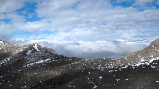
Looking northwards towards Rum Ridge Peak, another one we did a few months ago

Maze Peak and some low clouds

Traversing towards the 3rd false summit
Ben down-climbing the optional crux – low 5th class for the last few moves with loose foot holds. It’s avoidable on the left side if you don’t like this challenge.
More short down-climbs along the direct ridge spine
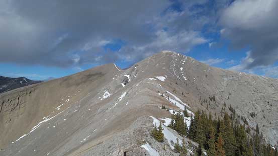
The 3rd false summit ahead
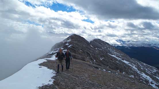
Ben and Vern enjoying the trip
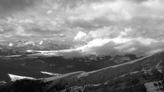
Beautiful clouds scenery looking back
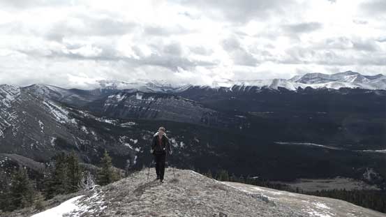
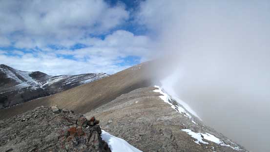
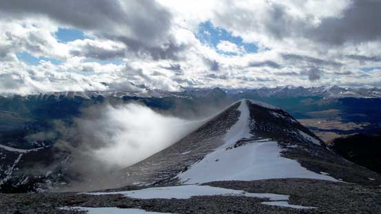
The true summit ahead
It’s strange to have the prairie clouded over but not the mountains

We took the snow line for more fun
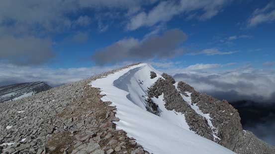
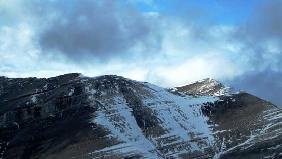
The true summit

Looking back along the summit ridge
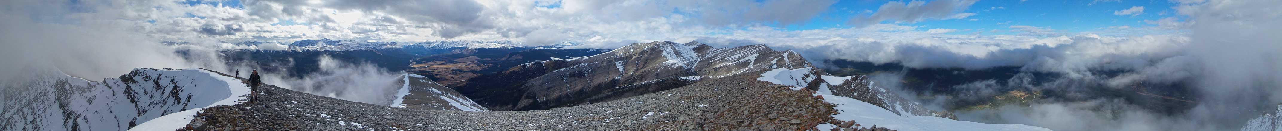
Summit Panorama. Click to view large size.
Way in the distance is the massive bulk of Cataract Peak
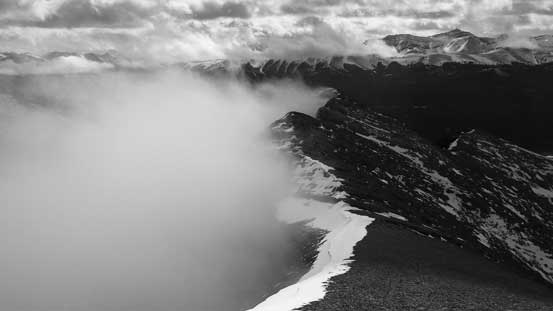
More low clouds scenery
The summit of Evangeline Peak pokes through
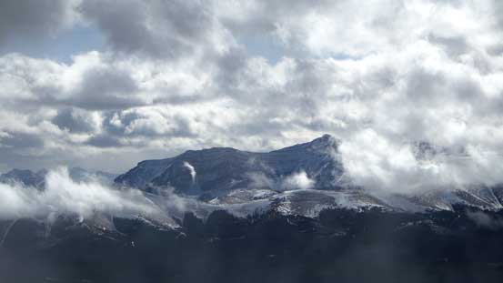
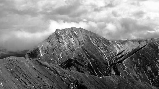
Barrier Mountain

Me on the summit of Eagle Mountain
Another view from the summit. Looking south
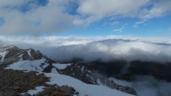
Clouds covering the prairie. No wonder why it was pouring during the drive
Maze Peak is considerably lower than Eagle Mountain
The summit was windy and cold so we didn’t linger long. The descent went by fast and uneventful but we did briefly get lost at the confusing ATV trails lower down. For some reasons we took a wrong direction but thankfully Vern realized that fairly quickly so we didn’t waste too much time and energy there. Our round trip time was 5.5 hours which was a bit longer than expected but overall it’s a short and enjoyable outing, recommended as an off-season objective for scramblers.
Time to start descending
Hiking down the scree slope below the true summit

Ben re-ascending the snow arete to the 3rd false summit
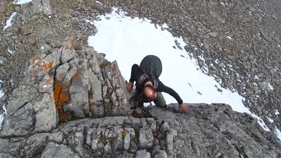
Me re-ascending the crux. Photo by Vern

Vern climbing up the crux
Looking back from the 1st false summit

Another picture of Maze Peak
Down to the ATV Road now

Looking towards Maze Peak. Weather had already cleared up
Looking back. What a pleasant afternoon hike.
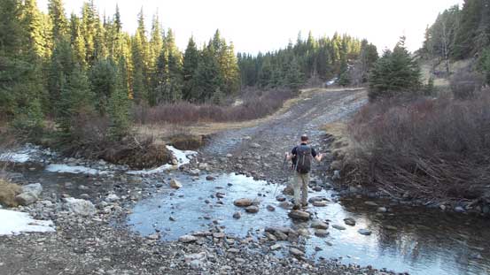
Crossing Eagle Creek
One last look at our objective
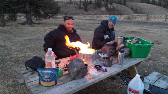
Camping was fun.
The camping at Bighorn Campground was enjoyable as usual. Weather also cleared up so we were all looking forward to the next day.
