Gibraltar Rock
August 10, 2019
964m
Kamloops / Paul Lake, BC
Gibraltar Rock is rather a pimple on the north shore of Paul Lake about half an hour drive north/east of the city of Kamloops. With barely over 50 m of topographical prominence and a rather non-striking profile this is clearly not a “peak”, but because of the official status of this name I wouldn’t feel too bad to include it into my summit count. It’s also obvious that an ascent of Gibraltar Rock wouldn’t be the primary objective given how far away Kamloops is from Vancouver. I did this hike along with another nearby pimple, Rockface Mountain while driving back home from a successful Mt. Clemenceau and Tusk Peak trip in the Canadian Rockies. As I drove south towards Kamloops I noticed the weather was mostly sunny instead of the severe thunderstorms as forecasted. I had time, and remembered there were some pimples nearby for some quick action of peak-bagging. I spent about half an hour studying the Gaia GPS maps and researching on Google. Gibraltar Rock is a low-elevation hike that I thought would involve the lowest exposure to thunderstorms, so this one first. There are two lowly hills namely Mt. Harper and Rockface Mountain nearby that I could do after, if the weather could hold for that long. It was past 3 pm and I really was expecting some action of lightnings to come down soon, so wasted little time on the road.
The drive to Gibraltar Rock’s trail-head was done purely by following the direction given by Google Map app and took longer than expected. The road to Paul Lake was paved, but narrow and windy that I couldn’t drive very fast, but the trail-head itself was easy to find. This was apparently a lakeshore recreation site so I was joined by hordes of what I would assume, locals.

Gibraltar Rock hiking route. GPX DL
The trail was very easy to follow and well-maintained to the point that there was literally nothing worth noting in a trip report. The trail has two sections. The first section ascends gradually along the lake shore and the second section has some switchbacks to the summit. The summit itself is kind of bald that offers neat views down towards Paul Lake, but never offers the 360-degree panoramic vista.

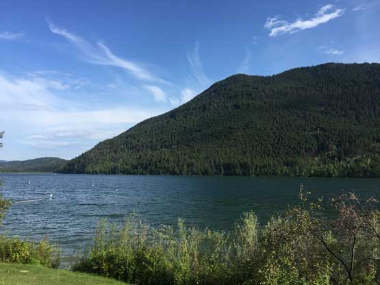
Paul Lake from near the parking lot

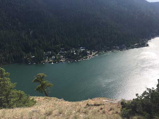
The start of this trail and Paul Lake

The typical view from this trail.

Made to the top of Gibraltar Rock, looking down onto Paul Lake
The south side of Gibraltar Rock is a shear drop into Paul Lake
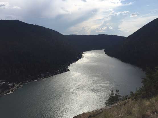
Another photo of Paul Lake
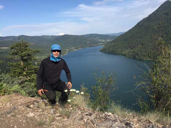
Me on the summit of Gibraltar Rock
At this point I thought the weather was still holding very well so instead of driving home I decided to at least hike up Rockface Mtn. nearby so didn’t linger too long on the summit. The hike down was uneventful with hardly any view other than from the very end along the shore of Paul Lake.
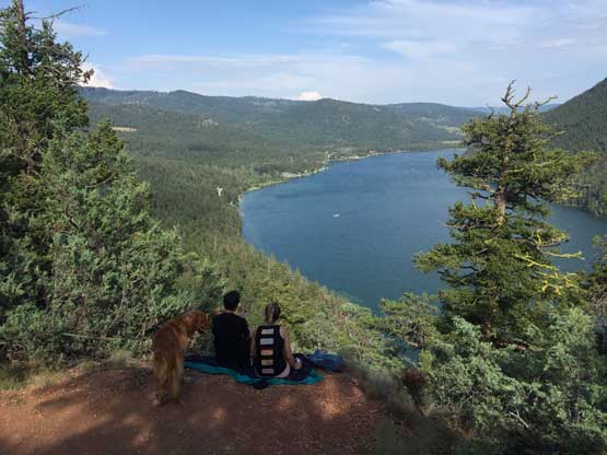
A couple enjoying the same viewpoint from just below the summit

Back to the lake shore now.
Paul Lake and Rockface Mountain – my next objective
