Mount Kelly
December 13, 2015
1933m
Manning Provincial Park, BC
Mt. Kelly is one of those forested summits near the heart of Manning Provincial Park – the perfect place to go on a bad-weather day in the old man winter. This past Sunday was one of those “bad weather” days with a deep low pressure system blowing into the SW BC. It was nothing but pouring rain in Vancouver but Manning Park was forecasted to have much less precipitation (and mostly in the form of snow). A quick glance at John Baldwin’s ski book Alex and I decided on Mt. Kelly, but not doing much further research we still decided to head out at 5 AM in the morning…

Mt. Kelly ski ascent route. GPX DL
The ascent started pretty much right from Allison Pass (the highest point on Highway 3 from Hope to Priceton), but the deactivated Telecom Road was a bit confusing to navigate. Thankfully I had downloaded the GPX file from bivouac.com and there was some skin tracks from a day or two earlier. The tracks were covered by the storm snow but we could still follow them. A few massive dead falls near the start provided some fresh challenges but thankfully not too many of those higher up. Upon getting close to the end of this road we started to see a massive gully leading almost directly down to the highway and we both agreed to try it on the way down.
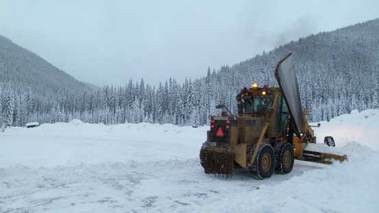
This guy cleared the parking spot for me
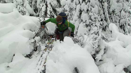
This is the first major dead-fall…
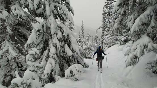
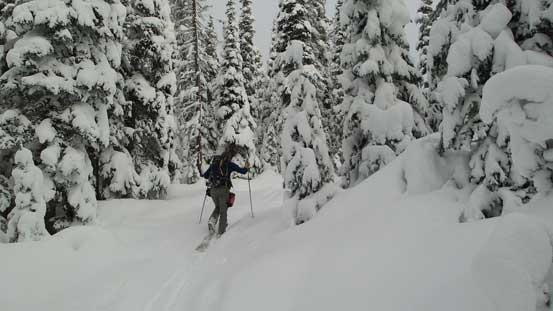
Skinning up the road
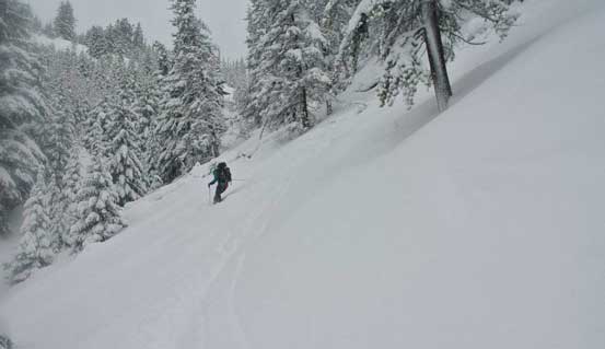
Looking down at the gully that we’d descend
Near the end of this road
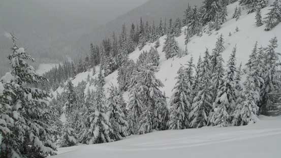
There’s still fair amount of distance to cover from the top of this road to the summit, but the terrain was mostly very gentle and the forest was mostly open. There’s only one steep and tight spot but other than that it’d be easy tree skiing. The weather was as expected, scattered flurries but the summit was forested anyway so there wouldn’t have much view regardless… We took a short break up there but soon started the descent as it’s getting cold.
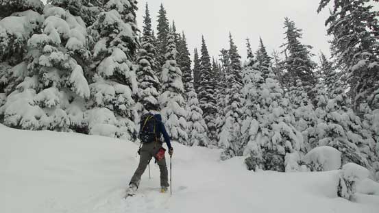
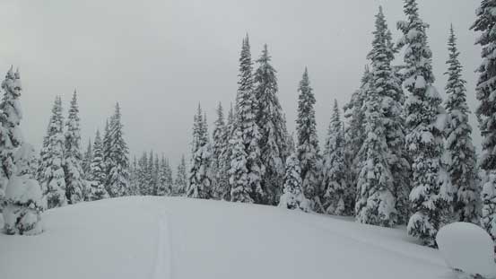
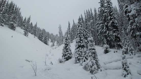
The typical forest
Almost there
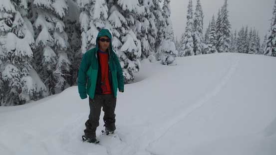
Me on the summit of Mt. Kelly
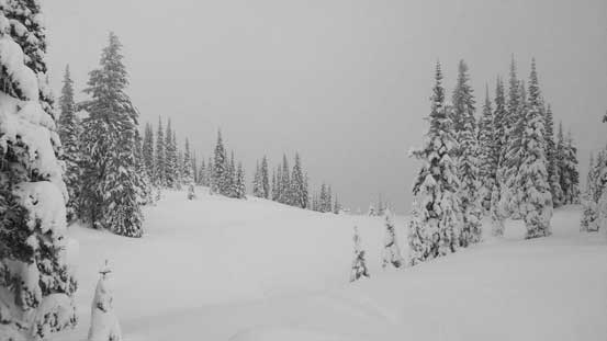
The forested summit view…
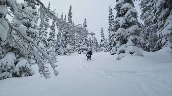
The tree skiing was as expected, pretty straightforward even for me. Soon enough we were back to that big gully. The snow was a bit heavy and the terrain wasn’t as open as we thought but still, it’s better than most of the ski trips I’ve done. We stayed exclusively on skier’s left side of the fall line and 450 vertical meters later we were back to (pretty much) the highway. We avoided the few dead falls by going into the forest.
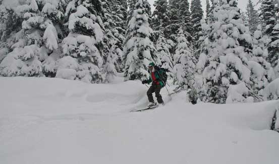
Me skiing the upper mountain. Photo by Alex
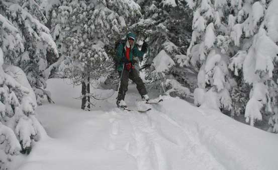
Tree skiing… Photo by Alex
Near the entrance of that gully

Alex dropping down
Me skiing in the gully. Photo by Alex
Looking back from the end of this gully
Now we had a problem as it’s only 11:30 am and we didn’t feel like ending the day that soon (long drive to get here so we had to make the most use of it)… After some brief debating we settled on the lowly Mara Peak…
