Oyster Dome
November 9, 2022
636m
Bellingham, WA
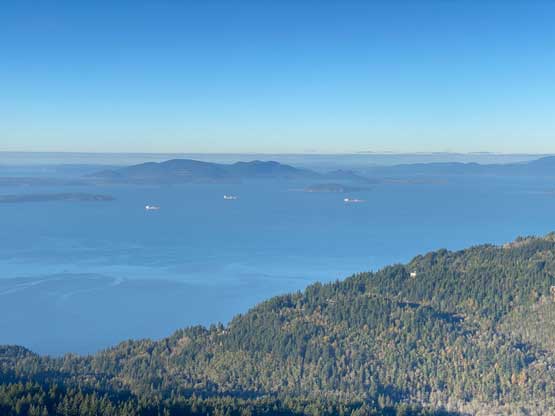
Oyster Dome is probably the most popular and the most scenic hike in the Chuckanut Mountains south of Bellingham and north of Burlington, whereas other hills in this area are mostly entirely forested. This peak is an exception due to the shear west and north facing cliffs. It’s also worth noting that Oyster Dome boasts very minimal prominence despite the fact it’s officially named, whereas the unofficially named “Blanchard Hill” about 1 km to the east is the actual high point of Chuckanut Mountain and subsequently boasts over 500 m prominence. Originally I planned to bag these two peaks in the same trip but I also didn’t mind to do two separate trips as this area is really close to where I live. I suggested Oyster Dome to Wendy as a before-work hike and didn’t bother to suggest the inclusion of the higher “Blanchard Hill”.

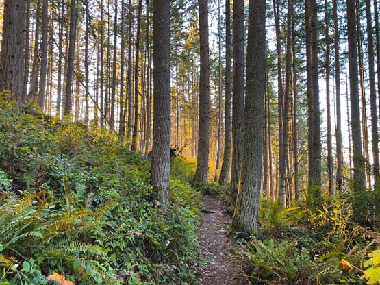
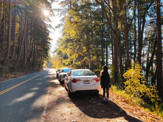
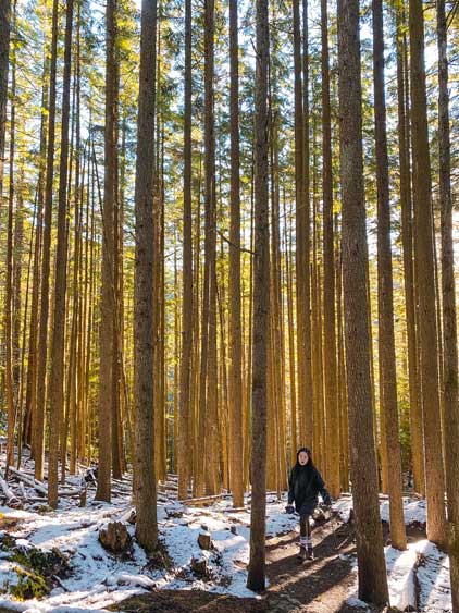
I picked up Wendy at 6 am on Wednesday and in short time we crossed the border into Washington state. The drive to the trail-head took about 40 minutes and we got there just when it’s bright enough to not need head-lamps. Thank to the time change the sunrise is now 1 hour earlier. The hike was rather no-brainer. The start of this hike follows the Pacific NW trail but a few switchbacks later we took the signed turn towards Oyster Dome. The quality of this trail was beyond my expectation. The grade was consistent and the trail bed was mostly free of rocks and roots.
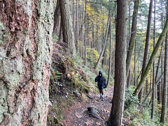
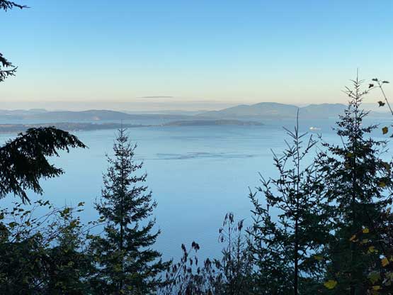
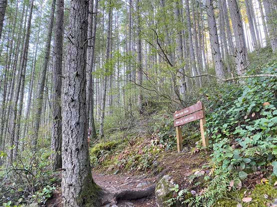
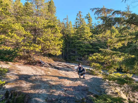
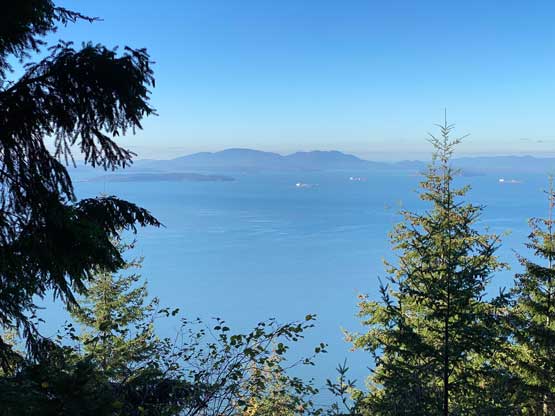
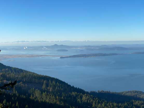
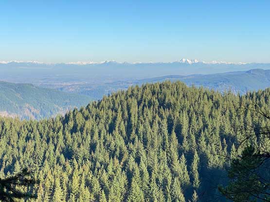
The hike started to become boring so we chatted a lot to kill time. It didn’t take us long to reach the area under the summit where we took another left turn towards the top. The other branch continues towards Lily Lake and can be used to access “Blanchard Hill”. The viewpoint on Oyster Dome is actually below the summit so we did the photography first. I then insisted to check out the forested true summit but by doing so we accidently discovered another viewpoint beyond the true summit with views towards BC’s Fraser Valley peaks. We caught some weak cell signals but our social updates didn’t get sent until we got back into Canada a couple hours later.
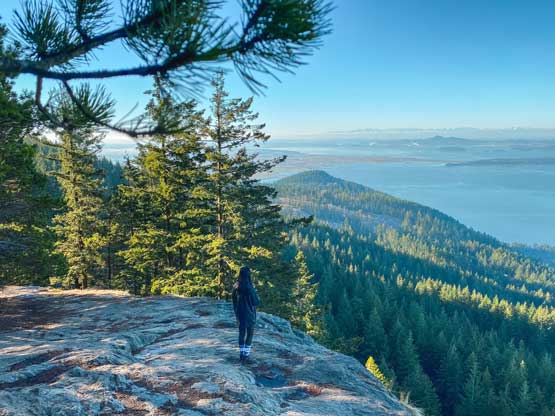
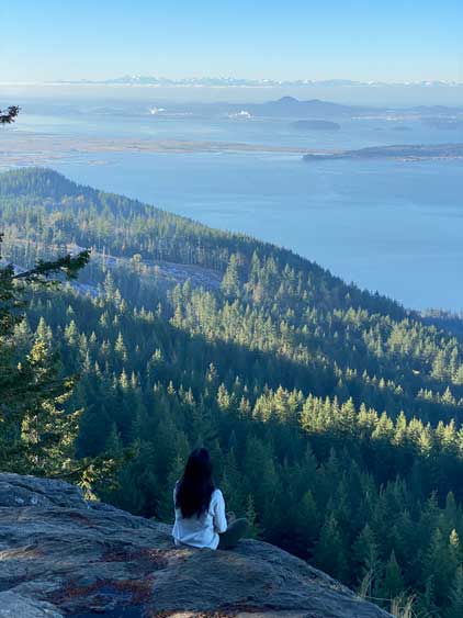
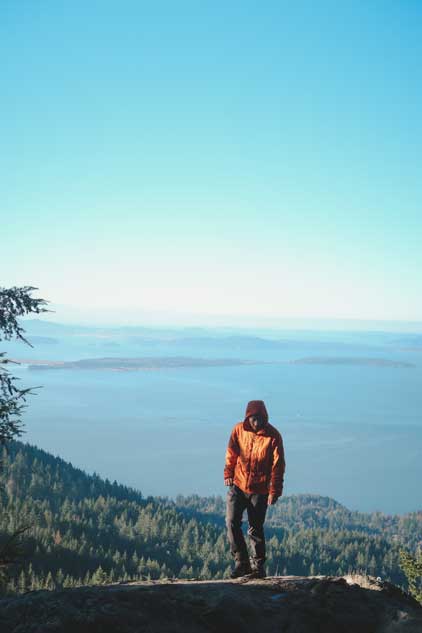
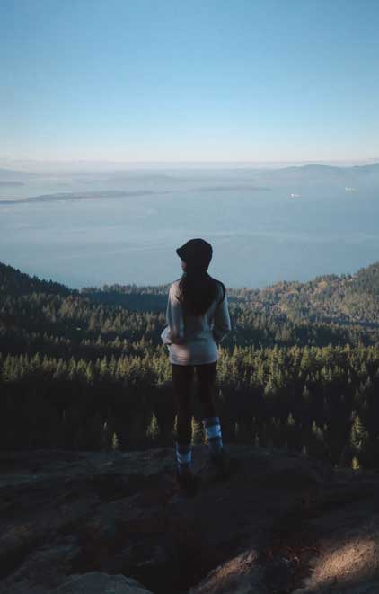

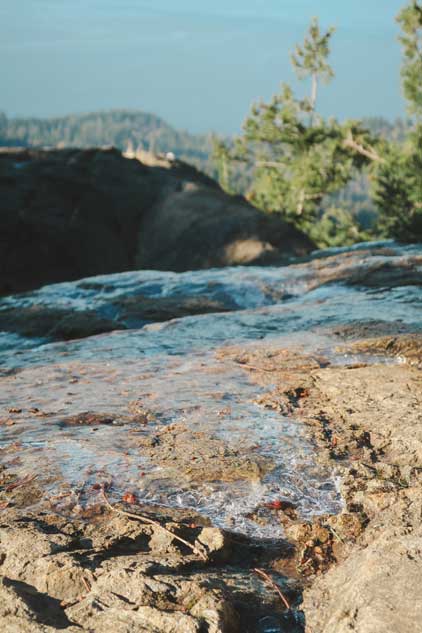
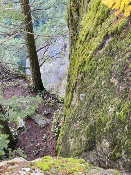
After checking out the true summit we leisurely descended back to that aforementioned viewpoint. I then suggested to walk southwards along the edge of the cliffs for more exploration and sure we found more interesting stuffs. Firstly was a detached block on the edge of the cliff that required a few class 4 moves to climb onto. The coldness and the icy conditions made it interesting and more fun. I then looked back and found numerous bolts under a corner, so people actually hiked all the way here to do sport climbing. We then leisurely descended the boring trail back to the trail-head and met several groups of hikers on their way up. Our round trip time was just over 3 hours. We got back to White Rock in time for lunch and I earned a couple hours before work.