Limestone Mountain
December 21, 2013
2120m
Kananaskis – Highway 40, AB
After spending a day ski touring in Sunshine area, I decided to do a short ascent afterwards. Limestone Mountain is merely a small bump on the northwest rige of The Wedge, but due to its official status I know I’ll do it at some point. There’re two ascent routes: the south ridge (difficult scramble) and the NW ridge, a “hike”. It’s apparent that I’d take the easy way up, and even so, it turned out to be more difficult than anticipated in winter condition.

Limestone Mountain scramble route
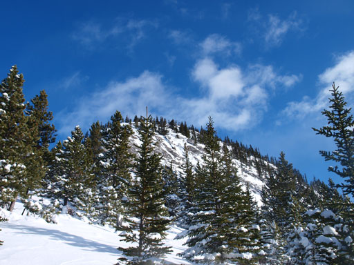
I was anticipating a short day so didn’t start the ascent until 11 am in the morning. The first challenge was finding a proper parking spot. In dry condition people can park right at the base of the NW ridge, but not in winter conditions. I had to park at Galatea Creek day-use area at a couple hundred meters further down the highway. Once I got to the base of NW ridge, I had to strap my snowshoes on right-away. There’s certainly more snow than I thought in this part of the K-Country. There were two themes of this day – post-holing and bushwhacking. The bush wasn’t too bad in general but bushwhacking right after a big dump was pretty miserable. I couldn’t take my jacket off thank to the snow on the trees but then I got too warm and got soaked from both inside and outside… The snowpack was bottomless and the post-holing was tedious. What made things even worse was I had to take the ‘shoes off at a couple rocky ridge sections. After what seemed like eternity, I arrived at a “bench”. From here the ridge became flatter a bit, swinging leftwards towards the steep upper section.
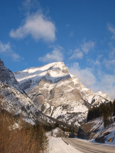
Mount Kidd from Galatea Creek parking lot

Me in the bush
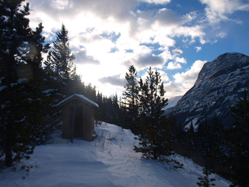
There’s an “outhouse” thing near the start
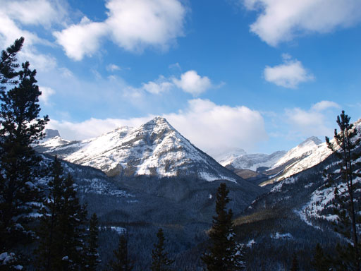
Great view looking towards “Fortress Ridge”

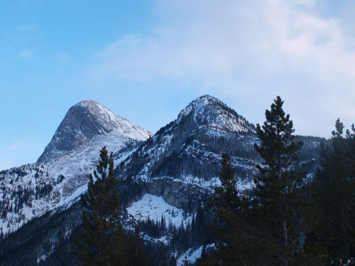
Kidd South
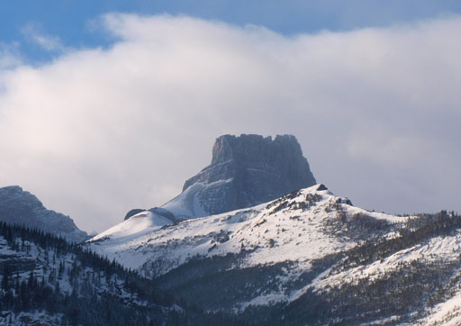
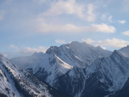
The Fortress

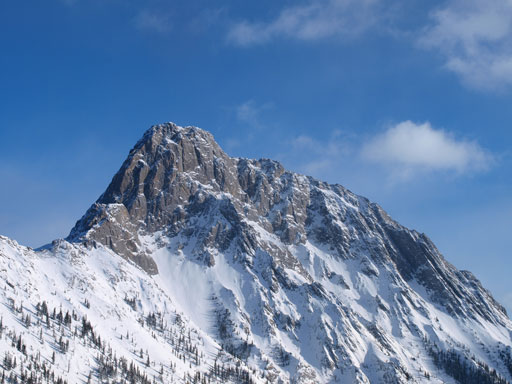
The upper section of Limestone Mountain.
Getting closer. It’s certainly not as innocent as it looks
I thought the upper section would be mostly snow free since it’s steep, but I was so wrong. Well, the slabs on the right side was indeed mostly snow free but I had to avoid them. I still had to ascent towards climber’s left and this dumped me at some knee to waist deep areas. The crux was right at the start of this upper section. The terrain was so steep, and the snow was so deep and unsupportive that I couldn’t even manage to “whack” a trail up. Thankfully I could grab some tree branches to pull myself up at a couple really awkward spots. I preserved through and things started to improve, but still pretty miserable. Again I had to take the snowshoes off, carried them up while scrambling some slabs before waist deep snow force me to strap the ‘shoes on again, and then repeated this procedure one time after another before finally reaching the summit.. The only thing made me feeling good was the views. The weather forecast was calling for light snow but what I got was sunshine and blue sky!

Ahead is the steep crux section

Higher up on the ridge. It’s much longer than anticipated

Summit Panorama. Click to view large size.
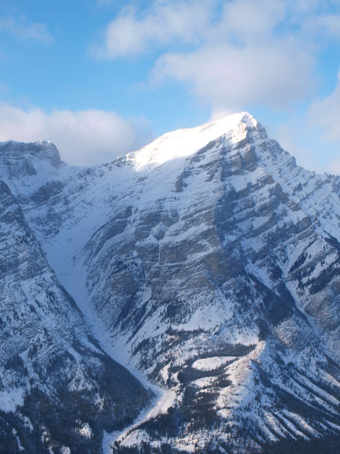
Mount Kidd
Some peak in Opal Range

Opal Ridge North Peak
The Wedge

Part of the “Big Traverse”. You can see Wasootch, Kananaskis and Old Baldy.
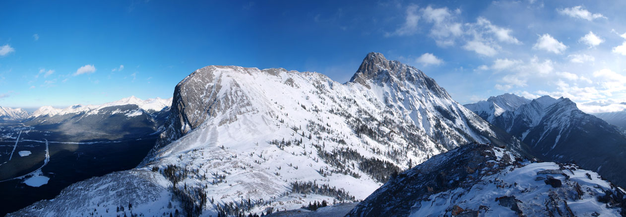
Panorama of The Wedge

Bighorn sheep
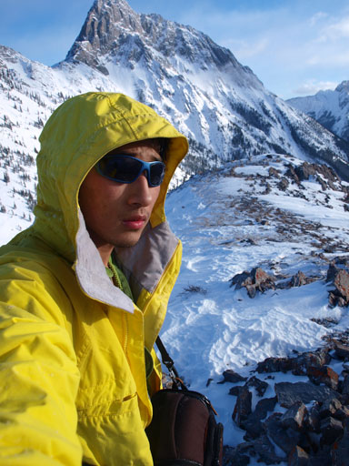
Me on the summit
On the descent I simply retraced my steps, but it was much easier to plunge down so didn’t feel nearly as miserable. By the time I finally got down, my jacket was completely soaked and partly frozen solid (I think the temperature never got higher than -15 degrees during the entire day)..
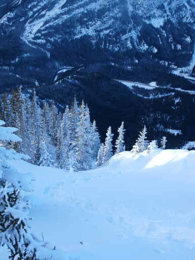
Descending
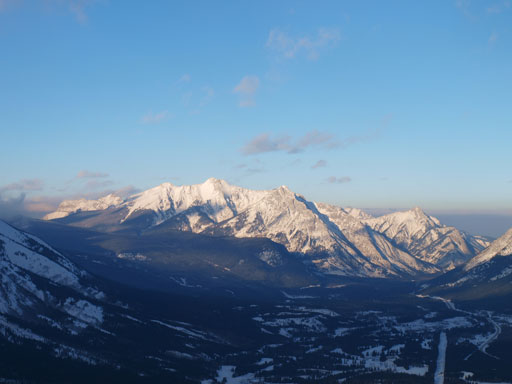
Skogan Peak and Mount Lorette

Down the crux section. It’s a lot steeper than appeared in this photo

The Fortress

More of the descent
Looking back. The summit of Limestone Mountain is the low bump on right
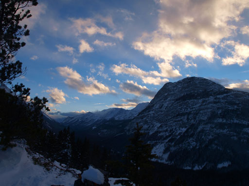
“Spoon Needle” at sunset hour
My round trip time was 5 hours. Overall, I would not recommend this mountain as a snowshoe trip in winter. In summer it will be much easier but then there’re many many other worthwhile objectives than spending all your time in the trees for some so-so views. Shoulder season is probably the time when most people do it, but in any case, this mountain will never see me again.
