Mount Marlborough
June 22, 2014
2964m
Kananaskis – Kananaskis Lakes, AB
Mt. Marlborough is one of the scrambles in Aster Lake region that doesn’t get covered in Alan Kane’s scrambles book. I can understand why. It’s not a prominent mountain and merely the first bump on the long ridge that eventually extends to Mount Petain. However, it does look impressive from below. The route beta was also sparse apart from a couple Facebook albums. On the approach to climb Mount Joffre, Vern, Ben and I noticed one could ascend the big avalanche gully straight up to the summit from northwest side. This soon became our plan as we managed to summit Mount Joffre on the first day so that meant we had the entire second day ahead of schedule.
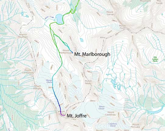
Ascent route for Mt. Joffre and Mt. Marlborough. GPX DL
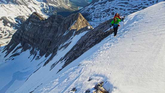
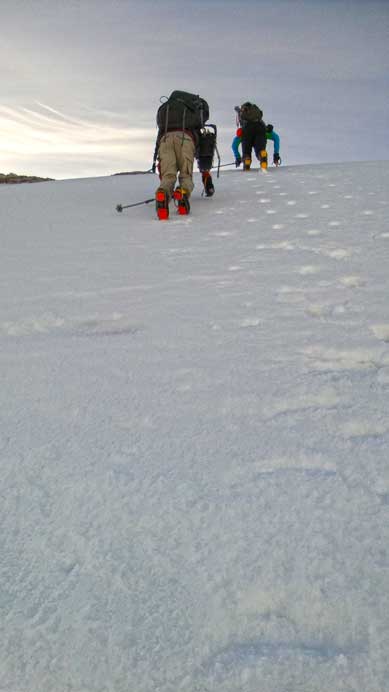
The slope looked ridiculously steep near the top, and part of it had already slid. After a warm but clear night, there was a good freeze, but certainly not full-depth. We woke up at 4:15 am and quickly broke camp and headed towards the ascent gully. It was already bright (thank to the long daylight time), but still early enough to allow us up and down the dangerous slope before sun hit it. At the base of it we ditched unnecessary gears and proceeded up with a light pack. Like the day before, we decided to snowshoe up as far as we could rather than kicking-step or post-holing. This proved to be a correct decision for the lower gully which was about 30 degrees. This is the perfect slope angle for snowshoeing straight up. The upper slope was steeper and we should have switched to crampons and ice axe. Obviously we didn’t so punished ourselves with a short sketchy section just before cresting the summit ridge. We made it nonetheless so that was okay.
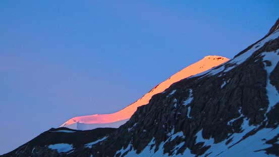
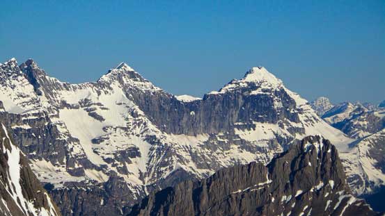
Alpenglow on Mount Joffre
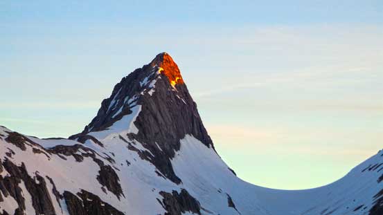
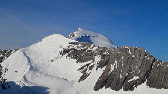
Alpenglow on Mount Northover
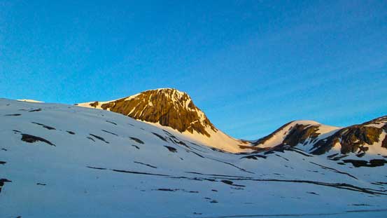
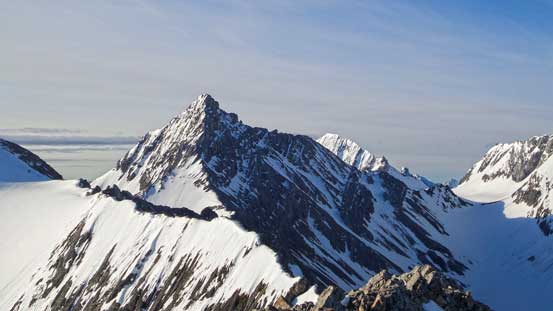
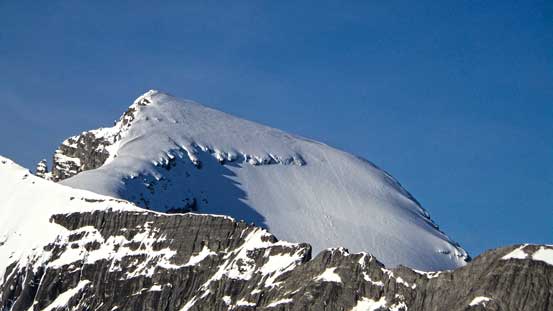
Warrior Mountain

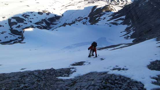
Me snowshoeing up the initial part of this long gully. Photo by Ben
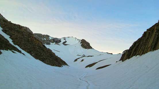
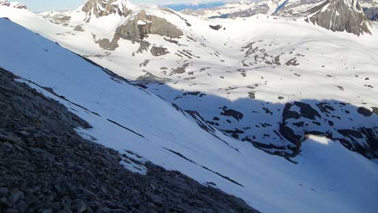
The second part and the upper part of the gully/slope.
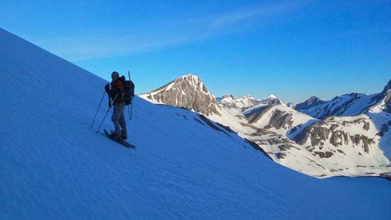
Ben on the slope
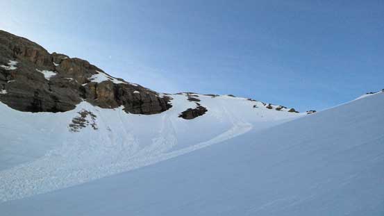
The upper slope. It’s actually on a glacier

Ben and Vern snowshoeing up avalanche debris
Be on the debris
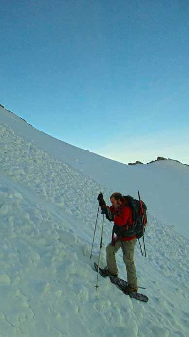
Near the top it got a bit too steep for snowshoeing, but we all managed to struggle up the awkward spot
It’s very steep…
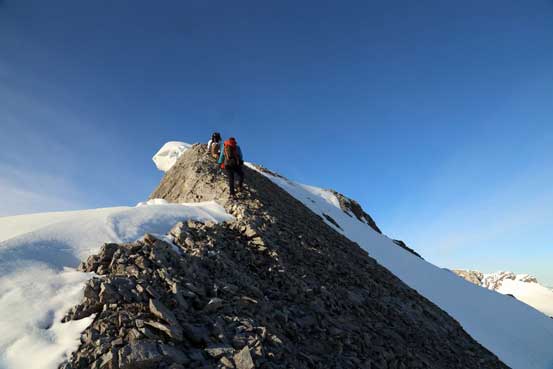
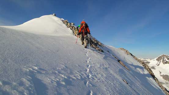
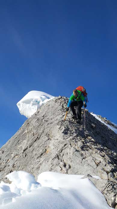
Ben cresting the summit ridge
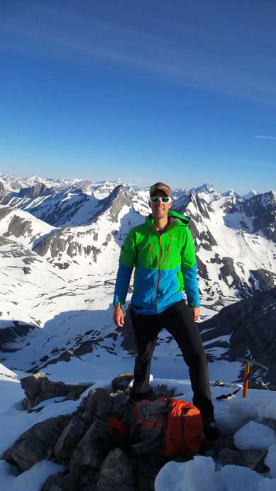
The mountain wouldn’t give up easily neither. The summit ridge, though short, was quite loose and exposed. And just before the summit we had to cross another tricky snow slope with a massive cornice on one side and dangerous run-out zone on the other side. Again, we should have at least taken out the ice axe here but the snow was just soft enough to kick step across. Soon after that we were on the summit, celebrating Vern’s 400th. That’s a great achievement!
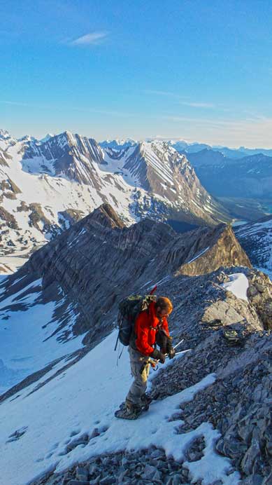
Me and Vern climbing up the ridge. Photo by Ben
Vern and Ben crossing the exposed snow near the summit
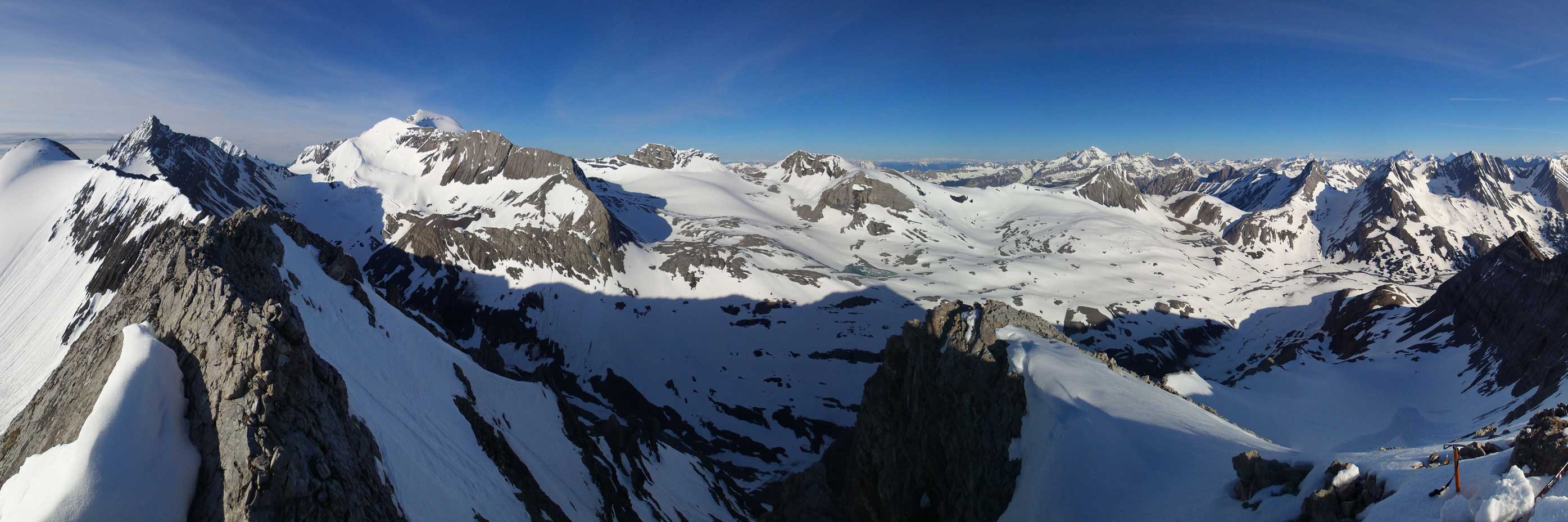
Partial summit panorama. Click to view large size.
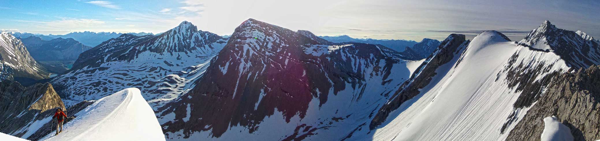
Partial summit panorama. Click to view large size.
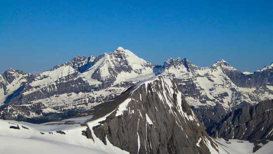
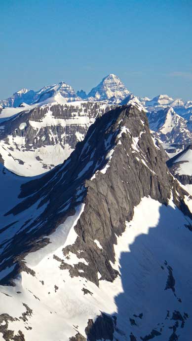
Impressive Mt. Petain
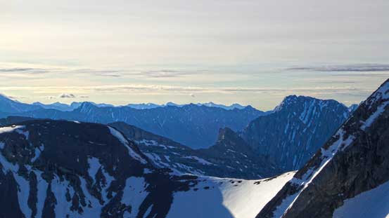
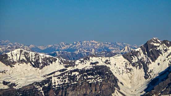
Front range peaks
Mt. Joffre
If looking closely you can see our tracks from the day before

Mt. Mangin is a climb

Mt. Cordonnier is a straightforward scramble. I’ll have to do it at some point
Obviously it’s the mighty Mt. King George and Royal Group
In the distance we could see peaks in the Purcells
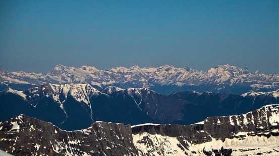
Peaks including Jumbo, Nelson, Farnham
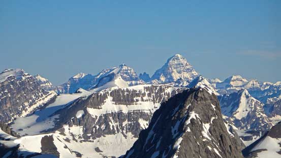
The mighty Mt. Assiniboine

Mt. Sir Douglas
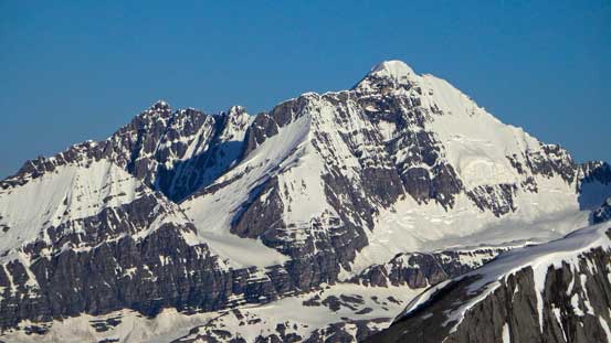
Mt. King George
Other beautiful peaks in the Royal Group

Mt. Lyautey
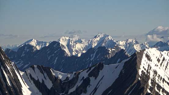
Familiar Kananaskis peaks including The Tower and Mt. Galatea
Assiniboine pokes just behind Northover.

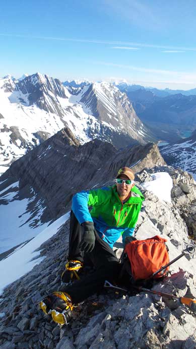
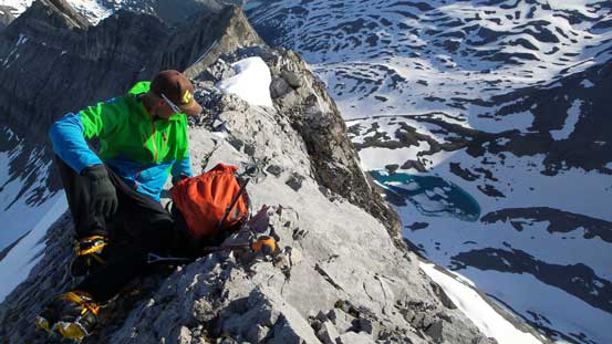
Me on the summit
Vern on his 400th summit
Descending the summit ridge was awkward but we soon made to where we ditched snowshoes. Switching to crampons on a narrow ridge was also awkward but we somehow managed to do that without losing any gear. After that we dropped down the steep face. At the steepest part we had to front point on the slope and face inwards (that’s why snowshoeing up that section felt very sketchy)… Lower down we plunged down the rest of the slope/gully. It was quite hard on the knees though was we had to absorb all the momentum due to the hard snow. Occasionally we post-holed through the crust and that wasn’t fun neither. Oh by the way, the upper slope was actually on a small glacier so don’t think you can easily scramble up from this side. The scramble route goes up the right hand side ridge and is quite exposed.
Ben descending back down the snow near the summit
Vern carefully descending the summit ridge
Vern taking a break before dropping down the face
The other side is fairly exposed
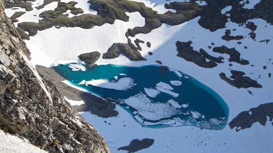
A lovely tarn
Down-climbing steep snow
Still on crampons

A view of Northover from the descent
Back down to where we ditched gears, the rest of the day was a long slog back to the parking lot. It was sunnier and warmer than the day before so the snowpack was considerably weaker. Thankfully we had snowshoes to keep us floating on top (otherwise could be waist deep wallowing). I think we still missed part of the trail but overall we picked a better line through the disorienting part on the return. And then crossing back the exposed snow slope felt more awkward thank to the downward motion. Lower down we used snow as much as possible to reduce the impact on our knees. Eventually we made back to Upper Kananaskis Lake. The rest of the way back wasn’t nearly as fun though as we kept going uphill on this poorly designed trail. There’s a major uphill just before the trail joins Three Isle Lake trail that proved to be brutal, but overall it’s not a very long way back.
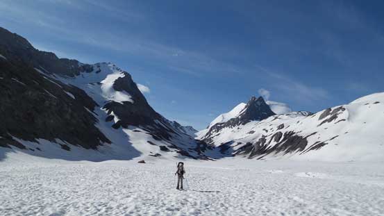
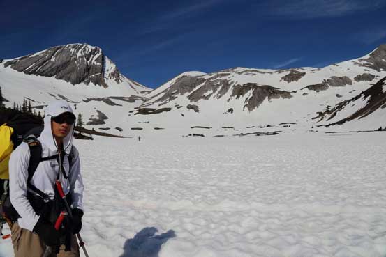
Ben walking back along the valley, with Marlborough on left and Joffre on right.
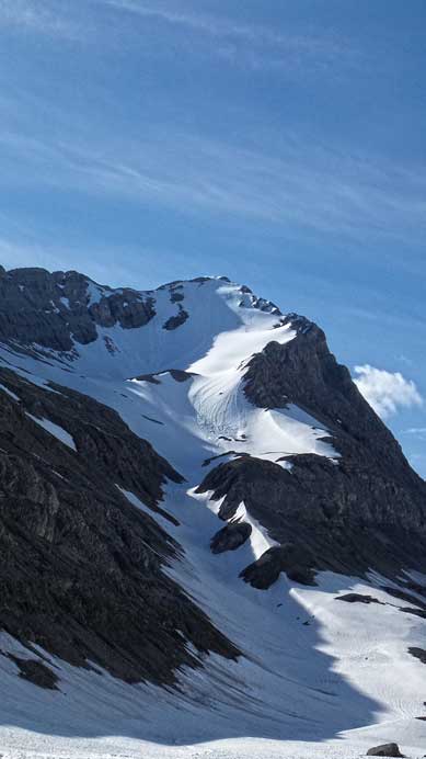
A look back at our obvious ascent route up Mt. Marlborough.
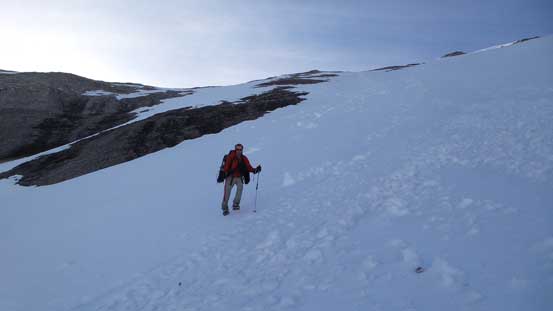
Me with Warrior Mountain behind. Photo by Ben
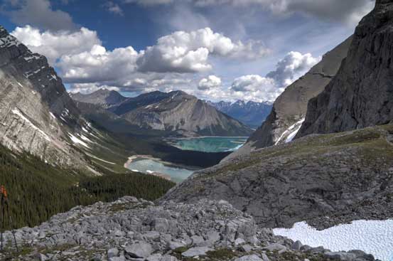
A view of Hidden Lake and Upper Kananaskis Lake from the return. Photo by Ben
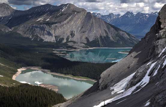
A closer look. Photo by Ben
Overall, it was another fantastic trip in the mountains. I think we did a great job predicting the condition and picking Joffre as our objective. It’s probably the biggest we could do this weekend and I’m very happy to finally have it bagged. Mount Marlborough’s ascent was a bonus but oddly enough, it’s a harder than Joffre. The snow slope was steeper and sketchier, and the summit ridge is narrow and exposed.
