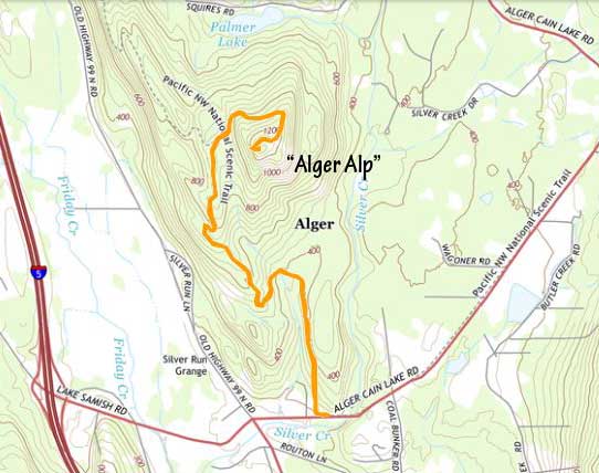
“Alger Alp”
March 17, 2023
401m
Alger, WA
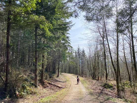
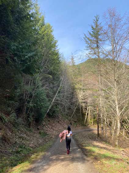
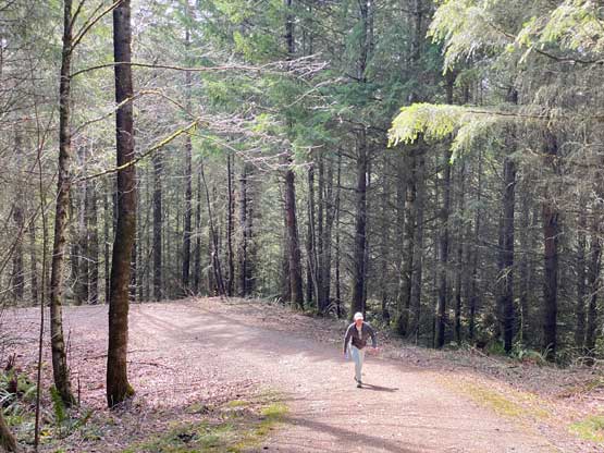
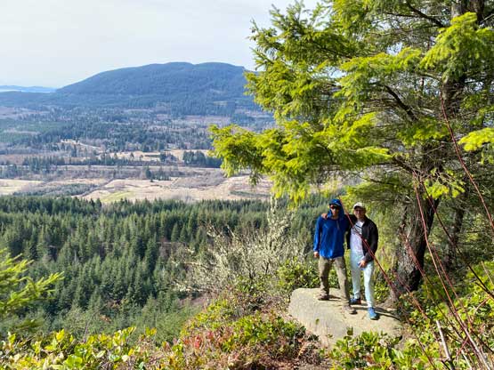
“Alger Alp” seems like a popular objective judging by the number of trip reports on the internet. The name is unofficial but has been commonly used. This peak can be hiked or biked from either the north or the south side with similar stats. The (gated) service roads extend all the way up and the bluff immediately under the summit offers some views to the west. I had been wanting to do it on a bike but spontaneously decided to hike it in the end.
Nikita, Raphael and I were about to fly to Phoenix for a few days from Seattle and I reserved our airport parking at 3 pm. The weather was gorgeous on our departure day. The decision was then made to leave Vancouver earlier in the morning and bag something en route and I picked “Alger Alp” at the very last minute. Due to some time constraints we wouldn’t be able to leave as early as I originally hoped so I wanted something with minimal driving detour. The three of us managed to cross the border at 11:40 am and made to the south side trail-head an hour later.
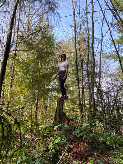
The hike was no-brainer as we just needed to put one foot in front of another while following the service road all the way to the top but we weren’t doing great on time. I made us to carry nothing but one bottle of water each in order to speed things up. The 3.5-km ascent took us about 40 minutes. In addition to the viewpoint at the end of the road we also dashed into the woods to find the true (forested) summit, which has over 200 m prominence.

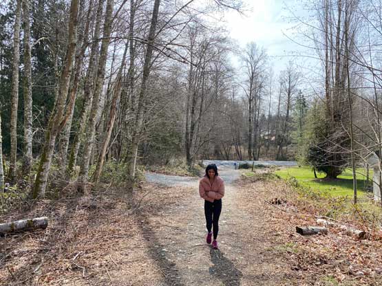


We mostly power-walked the descent but we probably should have jogged on hindsight. I underestimated the traffics in Seattle on a Friday afternoon. My Google Map now showed an estimated time of arrival of 4:10 pm and that was not good. We opted to take I-405’s toll lane and I sped as much as I humanly could passing 99% of the vehicles on the highway and we eventually made to the parking at 3:45 pm. Everything went well afterwards such that we even earned ourselves some lounge time before the 5:45 pm flight.