Mount Mabel
January 10, 2021
1736m
Merritt, BC
Mt. Mabel is a rather insignificant forested bump that locates right beside Highway 5 about half an hour’s drive north of Merritt. The immediate area beside Mt. Mabel has been heavily logged as the peak is surrounded by cut-blocks on 360 degrees but the summit itself has been free of cutting. There’s still some mature forest on the very top of this mountain but on the other hand, there’s no view whatsoever from the summit as it’s completely covered in trees. I had been browsing the topographical maps for a few days to search for some objectives to do on the Thompson-Okanagan Plateau as the weather forecast suggested higher chances of sunshine out that way. The day with better weather was Saturday, but my work was not flexible meaning it was either Sunday or staying home. I eventually convinced myself to drive 3+ hours away to dumpster-dive as that seemed like the only way to avoid hiking in rain/snow.
I had at least five or six ideas in mind. Part of me wanted to use this opportunity to bag some “prominent peaks” but part of me wanted to just find some easy summits in a new area to bag. I eventually opted for Mt. Mabel to Mt. Bob link-up. Logging roads run to the summit of Mt. Bob and fairly close to the summit of Mt. Mabel so I figured the day should be fairly straightforward. I did not check the overall hiking distance however, and as a result the day turned out to be longer and more involved than I had anticipated. I drove out of White Rock at 10:30 pm after work on Saturday evening and found a quiet spot on Coquihalla Highway to sleep in my truck. The alarm went off at 7 am. I resumed the drive down to Merritt for a breakfast in A&W and then northwards to Helmer Road turn-off. Just as I thought there might have some snowmobile traffic to pack down the logging roads I was disappointed to see no track. I would have to break trail for the whole way, which was not the news that I wanted but I could deal with it.
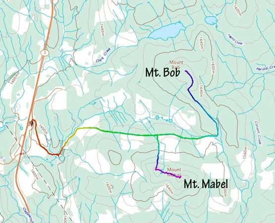
Mt. Mabel and Mt. Bob snowshoe route. GPX DL
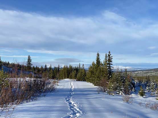
There were several branches of logging roads that I could use to access Mt. Mabel and/or Mt. Bob but to combine the two peaks into one trip and to minimize trail-breaking I picked the middle branch. The initial 2 km of the plod involved some elevation loss but the trail-breaking wasn’t too bad thank to some old snowmobile tracks. Apparently these roads do get some motorized traffic in winter, but just not on a regular basis. The recent snow had covered the snowmobile tracks but the base was still firm. Once I picked up a narrower branch plodding between the two peaks the snowmobile tracks were no longer visible. From here onward the trail-breaking was pretty tiring for the rest of this hike.

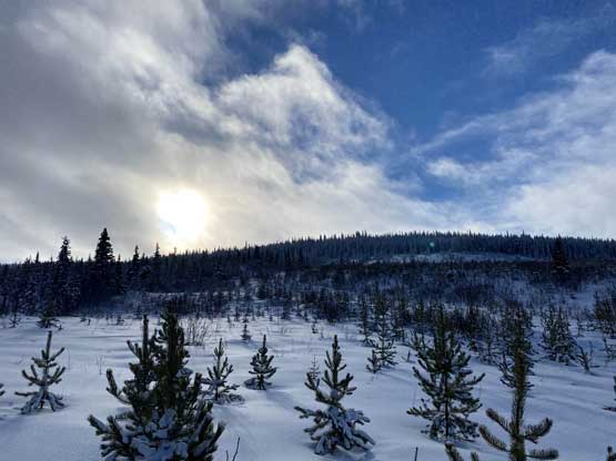
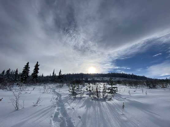
The morning skies at the start of the plod

Plodding up the logging road with trail-breaking the whole way

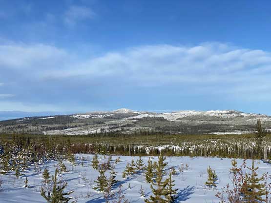
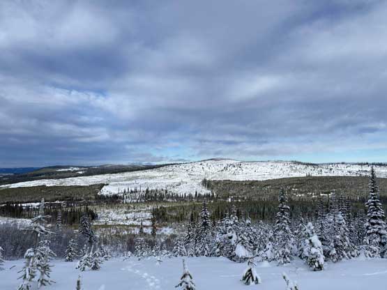
A look at Mt. Bob

Me posing on the logging road for a photo
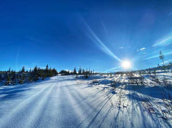
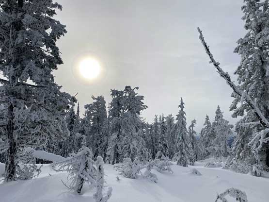
The morning sun had risen above the horizon now
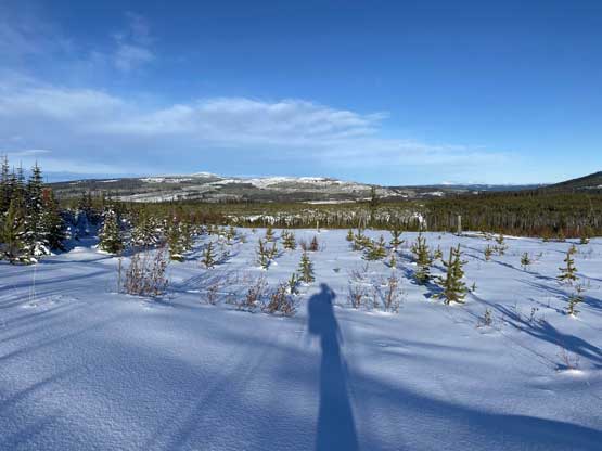
My own shadow and the typical clear-cut view
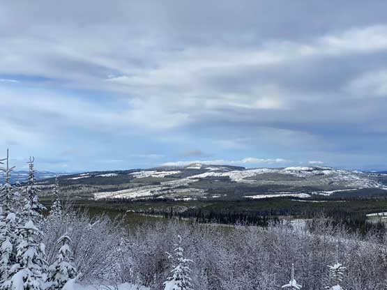
Mt. Guichon to the NW
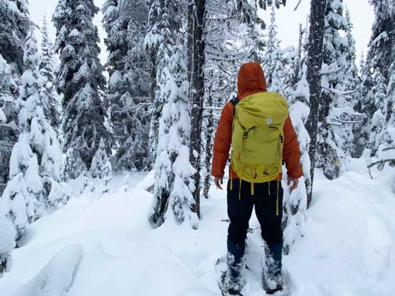
A long while later after some very monotonous slogging I arrived at the base of Mt. Mabel. I didn’t have a firm plan of how to attack this summit but I did have several options in mind. Upon seeing the terrain and the cut-block I decided to gain the west ridge relatively early utilizing the most open cut-block to minimize bushwhacking. The forest appeared very dense despite the snow coverage. It’s also worth noting that on the Gaia topo map Mt. Mabel showed two summits with the same contour lines so to make sure I could safely claim this peak I had to visit both, and the best way for that was to traverse the west ridge. The ascent through the cut-block was pretty easy but I definitely underestimated the challenge in the forest. The uppermost 50 meters to gain the west summit was supposed to be in “mature forest” according to the various satellite images that I downloaded, and with snow coverage I expected cruise-sailing. I was very wrong. The forest might have been a mature one that hadn’t undergone logging, but the timbers at this part of BC was much smaller and denser than the coast making bushwhacking a very tedious fair. There were also substantial amount of dead-falls criss-crossing the slopes and the snowpack wasn’t dense/supportive enough to give me enough flotation. The hazard of falling into tree wells was real and I had to be extra careful since I was alone. The 1-km traverse from west to the east summits had some slightly better forest, but still had several bands of dense timbers and micro-terrain. Not to mention that the views were completely non-existing on the entire ridge traverse due to the thick canopy.
This picture sums up this hike… Hours and hours of this

Just another photo to the typical views
Roughly where I left the road. Looking up towards Mt. Mabel
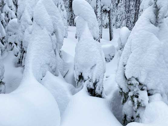
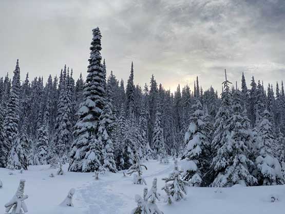
The forest on Mt. Mabel was pretty bad

Post-holing and bushwhacking at the same time

Traversing across the kilometer-long forested ridge I came to this frozen tarn
Me on the summit of Mt. Mabel
The most efficient way was to resume the west-east traversing mode to reach Mabel/Bob saddle but after consulting with the maps and evaluating the risks I decided to go with the known – to follow my own tracks back out to minimize tree well hazards. This would add at least 2 km of extra distance into the plod but I could deal with that. I still managed to step into at least two deep spots but thankfully I was able to haul myself out. Once getting back down to the logging road I had to turn my attention towards Mt. Bob.
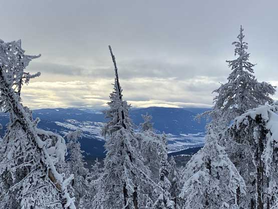
A glimpse of view towards Merritt from the summit ridge
Back to the west summit now
Descended out of the forest now, looking at Mt. Bob – my second objective
Another look at Mt. Guichon
Looking back at the forest. It was a lot worse than appeared here
Back into the clear-cut, looking back at Mt. Mabel
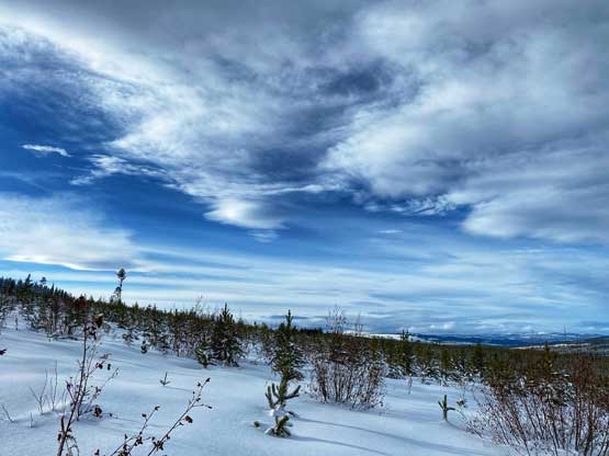
Interesting cloud formation
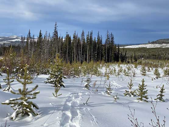
Plodding back across the lower cut-block.
