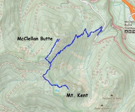
McClellan Butte and Mount Kent
May 12, 2026
1574m
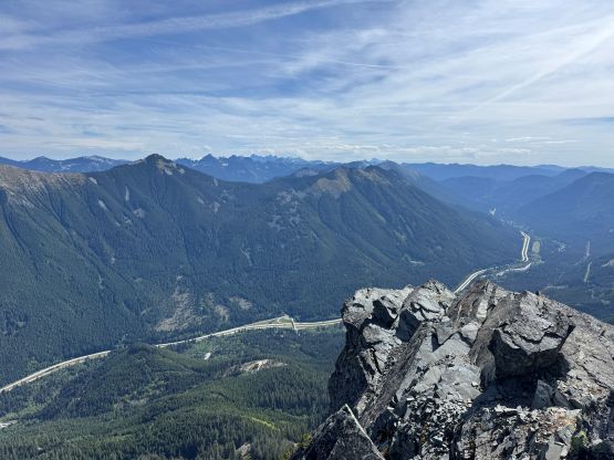
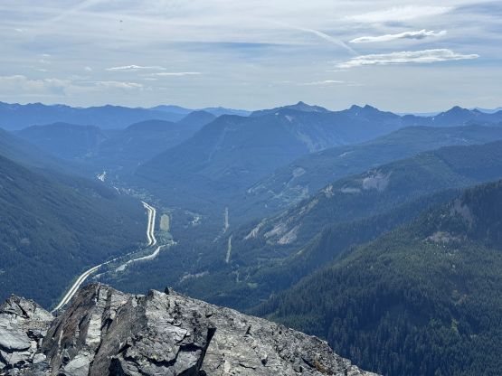
North Bend / I-90 Corridor, WA
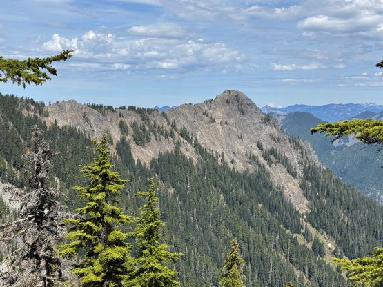
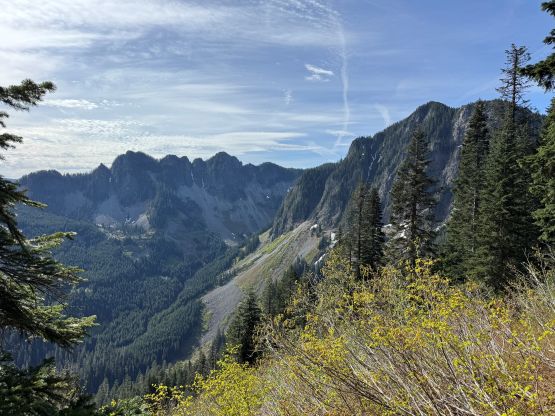
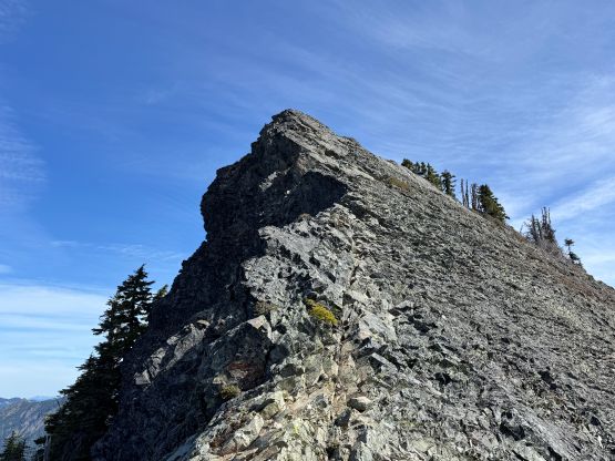
McClellan Butte is an iconic peak overlooking the I-90 corridor and fortunately (or unfortunately), there’s a well maintained trail from the highway all the way up. Fortunately the summit itself requires a bit of exposed class 2/3 scrambling so it’s not a “no brainer” for everyone. However, the presence of this trail means the lack of adventure for me (over 1200 people had logged it on peakbagger.com), so despite the iconic looking I had never been too keen on tagging it. In fact, I was actually actively seeking for a winter ascent window but when those perfect oppourtunities came I always ended up on bigger peaks further to the north. I eventually decided to do the standard way in dry(ish) conditions but I would combine it with Mt. Kent which reportedly involves some nasty bushwhacking. I came here expecting Mt. Kent to be terribly bad but it was actually quite chill.
I made the last minute decision to head out Monday night after work. I had to get back no later than 5 pm for work on Tuesday afternoon/evening so I couldn’t pick anything too outrageously exhausting. The drive to Snoqualmie Pass would be a wee bit too daunting for a “before work trip” but the weather was good and I was keen to stretch things a little bit. To shorten the hike I opted to drive the Subaru Forester down south and went for the upper trail-head along Garcia Road. The few kilometers of this FSR surely required a reliable high clearance vehicle. The grades were steep and there were at least 2 notable wash-outs. This is a legit “4WD road” even by B.C. standard. I got to the trail-head at 11:30 pm and didn’t bother to set up an alarm. I knew I would wake up at around 8 am based on past experience.
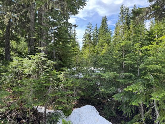
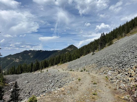
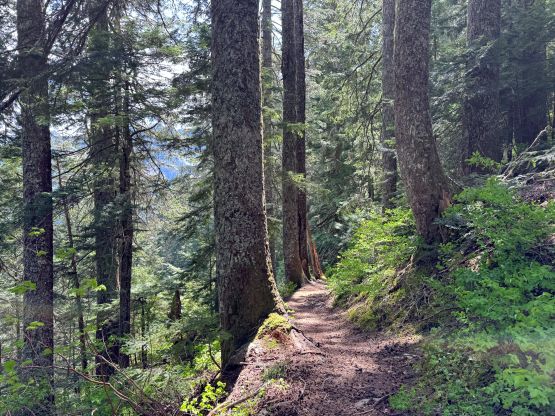
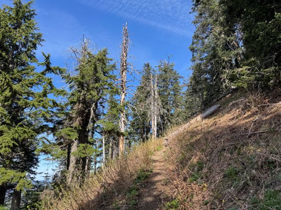
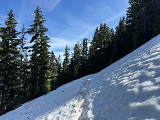
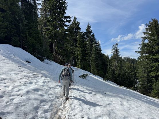
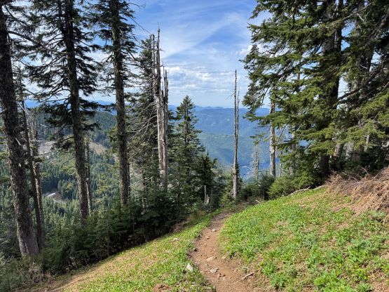
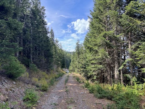
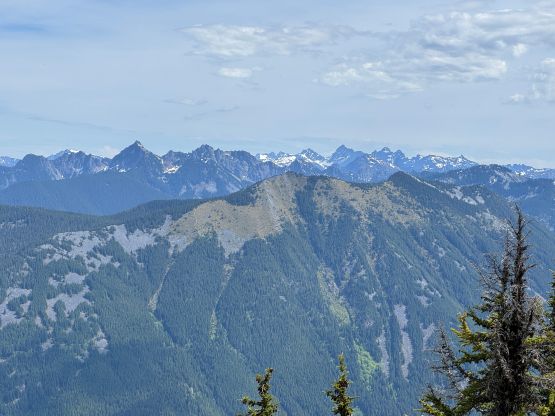
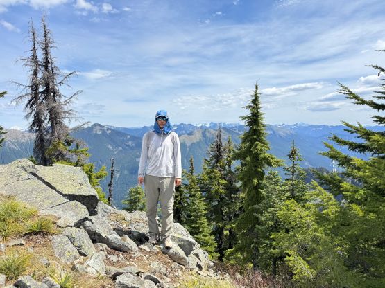
Indeed, I got up at around 8 am, leisurely cooked the ramen breakfast and then dashed up the trail. I opted to carry aluminum crampons but no mountaineering boots based on the most recent condition updates on WTA and AllTrails. There was still fair amount of snow on the NW side of the ridge but the snow was soft and the crampons became training weight. There’s not much worth noting about the hike as the trail was literally well-engineered and maintained. I encountered one downed tree that could see some trail work but the rest was cruise sailing. A few gullies were still filled in with snow but the crossings were straightforward given the foot path made by the previous hikers. The traversing around the NW side of the SW Ridge was longer than I thought with some up-and-downs, and the scramble was a little stiffer than I thought as the exposure was quite real. I had thought about to bring some beginners up here since it’s a fairly good “Instagram hotspot” but it might be a good thing that I did it solo.
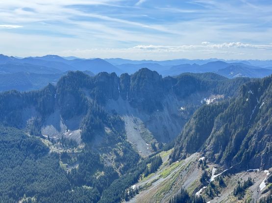
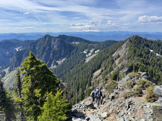
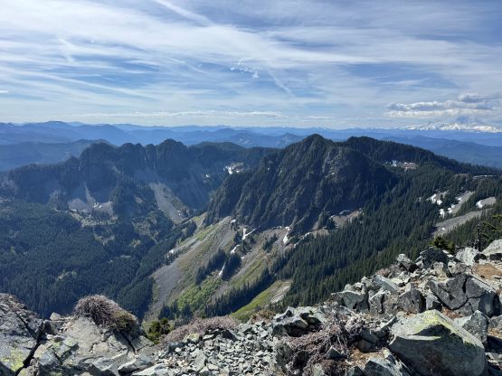
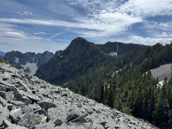
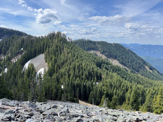
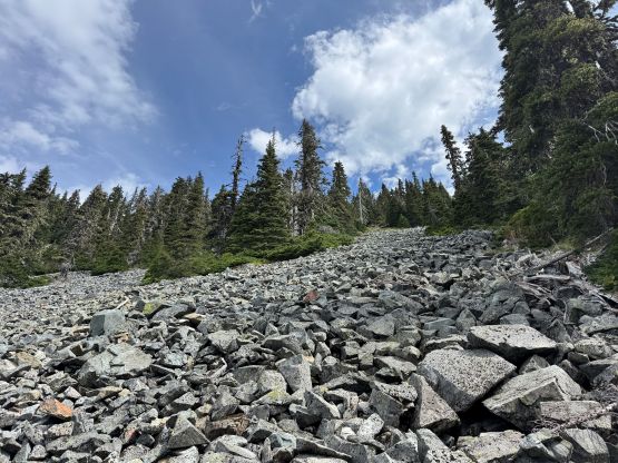
I encountered two hikers on their way down minutes before summitting and I passed them on the descent along the snowy traversing sections. I quickly made my way down towards McClellan/Kent saddle and left the trail. There were at least 3 or 4 “no trespassing” signs warning hikers that the connection towards Mt. Kent would be in some sort of watershed’s private property but I plainly ignored those, as always. There’s even a faint trail here and there so people do use this route. The descent involved fair amount of boulder hopping and some of those boulders were not very stable. I then opted to bypass the intermediate bump by walking around on the watershed’s service roads. There were plenty of snow on the road so there’s no way for a truck to show up to catch me (on this particular day), so I felt safe to avoid unnecessary bushwhacking. That bump doesn’t have 100 m prominence so why bother.
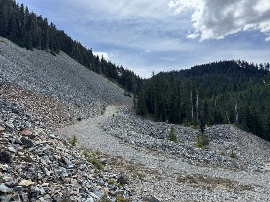
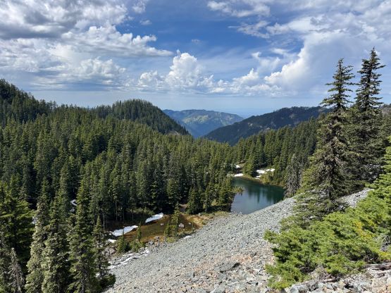
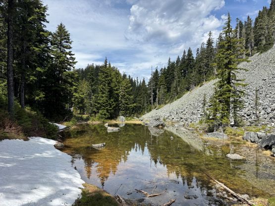
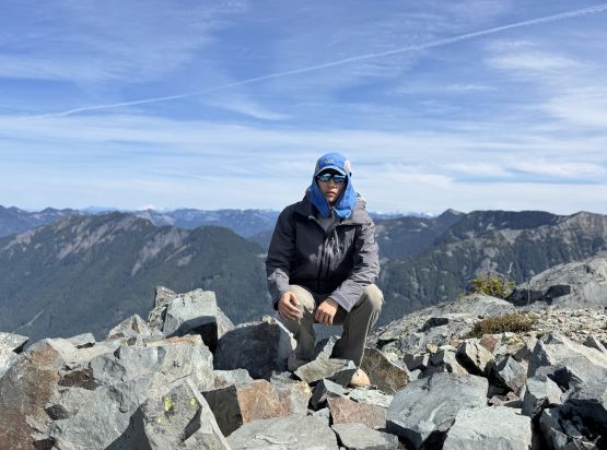
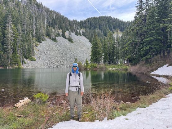
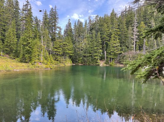
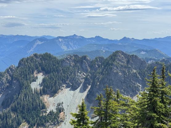
I then mostly followed Greg Slayden’s route thrashing towards the lower Alice Lake and this stretch involved some level-3 bushwhacking in underbrush. Fortunately the intense thrashing was short-lived and I quickly made my way to the lake. I traversed around the south side of the lake and the bushwhacking was minimal. I knew Greg had gone much farther up the valley but I thought the boulder fields would offer an easy passage to the NW Ridge of Mt. Kent, which appeared straightforward based on my own observation. I had no detailed beta as I couldn’t be bothered to read any trip report in details. My theory worked out just as expected. The boulders were loose but the bushwhacking wasn’t too bad. There were a few steep spots along the NW Ridge but nothing troublesome. The summit was as expected, dull with minimal view. I looked around and found the old register mentioned in Greg’s trip report and signed it.
I was doing quite good in time but I still had a long day ahead, so quickly reversed the exact same route that I had taken on the way up. I optimized the NW Ridge section and found out that staying entirely on the ridge crest could avoid side-hilling on the painfully steep terrain. Descending the boulder fields back to Alice Lake required some care. It didn’t take me long to bash back up to McClellan Butte trail, and to my surprise I only encountered one party on the hike-out. I then made a single push all the way to the cheap gas station at Exit 262 before driving north across the border. The traffic was on the heavy side through the Bellevue corridor but wasn’t too bad. Having the NEXUS card meant I had no delay at the border whatsoever, and I eventually showed up at work with 20 minutes of spare. The work was unfortunately quite long and exhausting, that I didn’t get back home until 10:30 PM.