Cheviot Mountain
May 26, 2012
2720m
Cadomin, AB
Cheviot Mountain is a not-so-well-known summit just to the east of Jasper N. Park, buried deeply in the front ranges. To access this area one has to travel through a small community called Cadomin (big mine sites nearby). If you are Calgarian then it’s among the few very obscured corners in the Canadian Rockies, and thus, rarely draws visitors. I bagged this peak together with its lower neighbour, Tripoli Mountain, with Eric Coulthard.
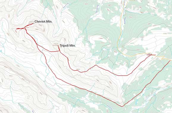
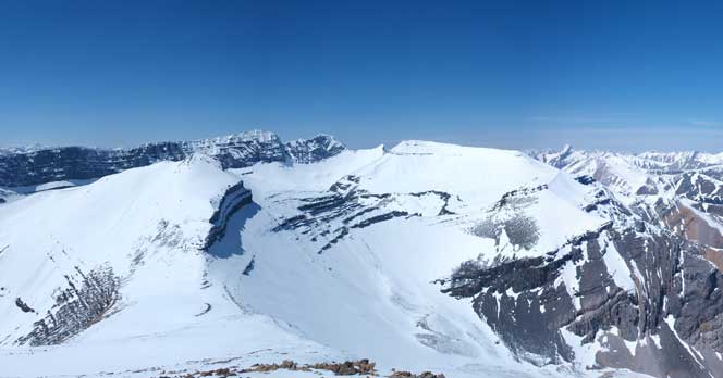
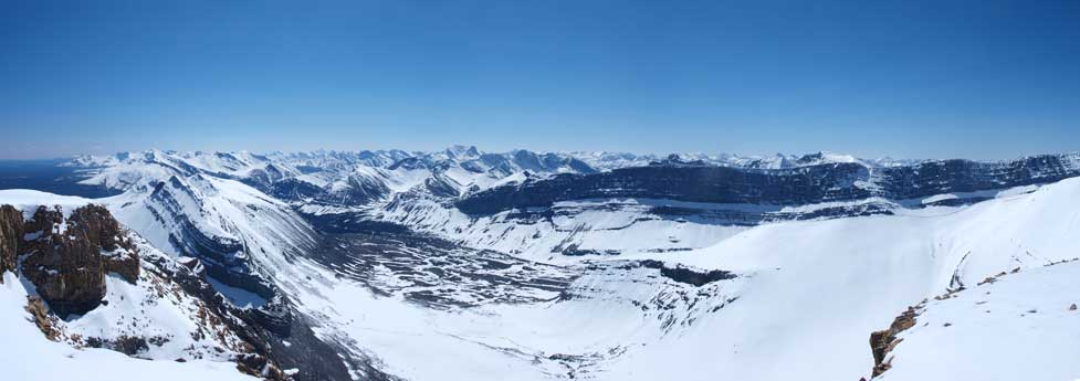
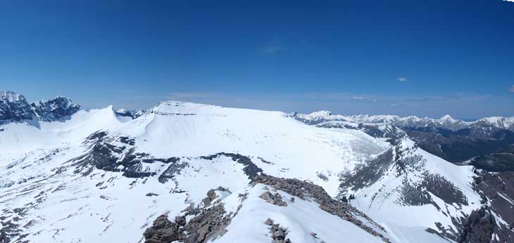
Tripoli Mountain and Cheviot Mountain scramble route
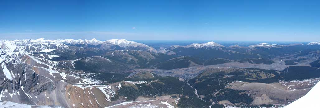
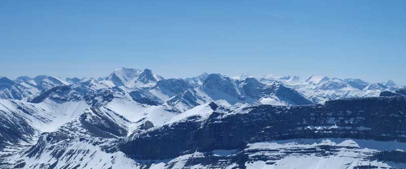
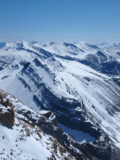
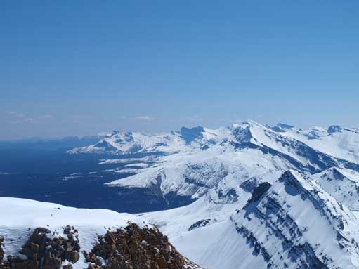
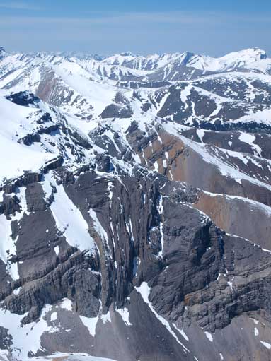
Because the ridge isn’t connecting between Tripoli Mountain and Cheviot Mountain, we had to drop down to the valley floor. From there, the route to Cheviot is straightforward (only an easy scramble), but very tedious due to scree. The summit of Cheviot is higher than Tripoli so offers better views. Towards east is the big mine site… I think they gonna expand to the whole area, and then these mountains will become inaccessible… Several 11,000ers are clearly visible, including Robson, Edith Cavell, Fryatt, Warren and Brazeau. There’s another high glaciated peak between Fryatt and Brazeau in the far distance. We though it would be North Twin, but according to the map, North Twin should be at further south. So the only possibility is Catacombs Mountain.
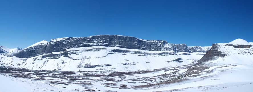
Blackface Mountain was always the eye-catching one during the day.
Eric with the route up Cheviot shown in the back.
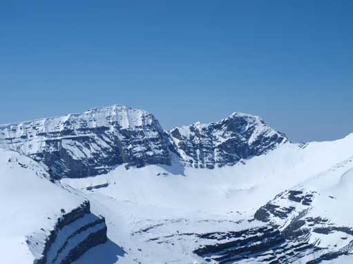
Tripoli Mountain. Good thing we didn’t try to traverse the direct ridge-line towards Cheviot.

Just topped out above the most tedious scree part.

Eric slogging up Cheviot Mountain
Looking towards Blackface, Climax, Prospect, with Little Cheviot in the foreground.
Zooming-in towards Blackface and Climax
The ever-expanding Cheviot Mine
Zooming-in towards Mount Balinhard
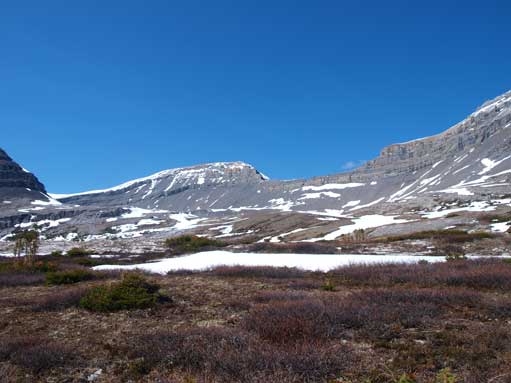
This is Cardinal River Valley. We would go out this way.
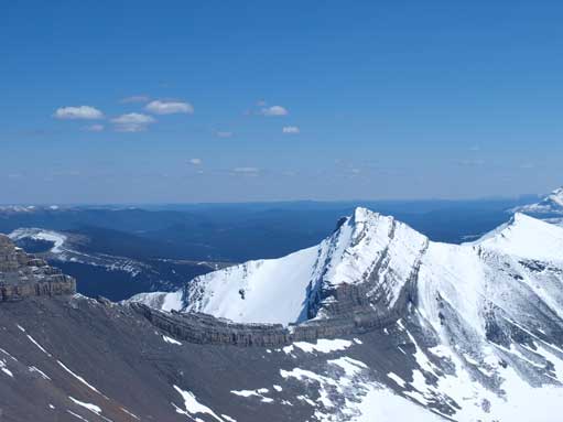
Tripoli Mountain from the summit of Cheviot Mountain.
Zooming-in looking south
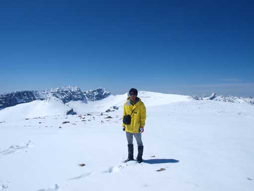
Me on the summit

Me on the summit
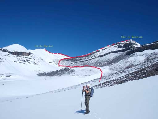
“Little Cheviot” is just an unnamed peak between Cheviot and Prospect, but due to its location, it worth a visit. From the col, ascent about 200m on steep snow of scree to the summit. You can get a better perspective of Blackface Mountain and Climax Mountain, as well as the approach to Prospect. Clearly, Prospect is better be climbed from the other side.
Interesting rock formation looking North.

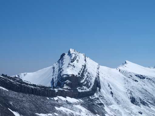
Looking back towards Cheviot Mountain
Prospect Mountain from Little Cheviot

The long rock face of Blackface Mountain
Tripoli Mountain from Little Cheviot
We chose the snow route to descent form the Cheviot/Little Cheviot col. It’s quite steep, but again, the snow is too shallow to slide. We glissade the last part of the slope and soon re-joined Jim at the base of Tripoli. From there, actually, the fastest way back to car is to re-ascend Tripoli and glide down its east slope. However, we decided to traverse around the SW side of the mountain. Well, we didn’t know, by this way, we had actually about 17km to go, mostly side-hilling, boulder-hoping, post-holing, and bushwhacking, plus several stream crossing. However, the scenery in this alpine environment reduced the pain. We chose to stay high above the treeline, which means, less post-holing and bushwhacking but more side-hilling and boulder-hoping. At the south corner of the mountain we were forced to drop down to the bottom of Cardinal River valley due to several cliff bands. After half an hour’s miserable post-holing on isothermal snow covered forest while bushwhacking, we found the ATV trail (the trail to Rocky Pass), which was a relief. This trail is partially covered with isothermal snow as well. The part with no snow was muddy unsupportive. This situation is quite common in spring time if you come back late. We also saw tracks of big grizzly, good thing we brought our bear sprays. The quad trail went on forever to join the road. From the road, we had to re-ascend the hill of Cardinal Divide Pass which is certainly more than 100m vertically.
Back down to Cardinal River Valley
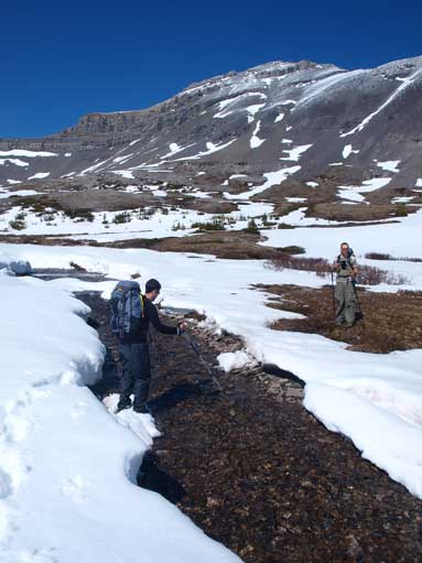
Jim crossing a stream
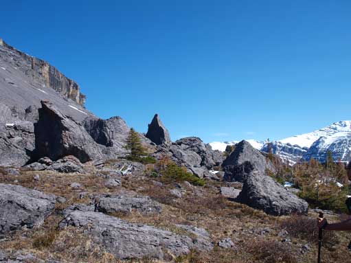
There is a rock garden.
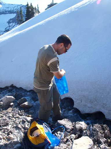
We refilled water here.
The typical side-hilling. We were going up and down this stuffs for hours.
I don’t know how long it took us to get through this part, but overall, it’s my longest trip so far, 16 hours round trip time is even longer than the one day ascent of Castleguard. I have to thank Eric for bringing me to this obscured place to do peak begging, as well as Jim, who accompanying us for this trip. Eric has good navigation skill. If it was me leading, I would take much longer time to get through the forest to find the quad track. I still remember on Midnight Peak in January, where my poor forest navigation skill led to a wrong ridge, as well as on Morro Peak in February, where I ran into miserable bushwhacking which was not necessary.

Great pictures. we climbed from both sides of the Saddle years ago. With quad trails limited, it is quite a longish walk to where a person can climb the mountain. Well worth the hike — weather can change quickly. Bob