Black Mountain (Cypress, BC)
April 18, 2016
1224m
North Shore Mountains, BC
Black Mountain is the lowest of the three forested summits guarding the “Cypress Bowl” – one of the three major ski resorts in our local North Shore Mountains. The name of this peak isn’t “sexy” and the ascent is rather uninspiring and boring, but the summit does offer some views towards Howe Sound and the Great Vancouver on a clear day. To get there is a mere 1-hour hike (in the summer), or an easy snowshoe trip in the winter months, and I figured it’s a great destination to introduce my “non-hiking” friends to the mountains.
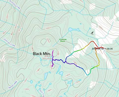
Black Mountain hiking/snowshoeing route. GPX DL
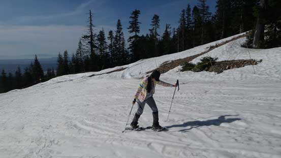
I picked this past Monday to take advantage of the brilliant weather system, but yes, it was right after my 1-day single push on the mighty Mt. Baker. Needless to say, I was super tired when my alarm went off at 5 am. I picked up Cathy and then drove through Downtown followed by the infamous Lions Gate Bridge (somehow we managed to avoid the traffics). We were lucky that the Cypress ski resort was closed already so we could just snowshoe up their ski hills. It was Cathy’s first time hiking on snow (and I believe it’s her first time to actually see a real pair of snowshoes) but after struggling for the first half an hour she did manage to find the “flow”.

An obligatory stop at the tourist’s viewpoint along Cypress Road
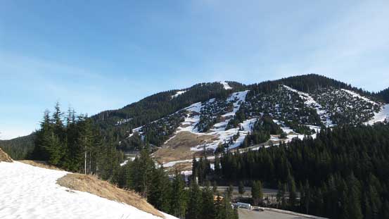
A view of the lower slopes of Mt. Strachan

This branch leads to nowhere as we soon discovered.
I certainly didn’t do enough homework before the trip, so made a mistake by taking a wrong branch which led us into some steeper countries. To correct our bearing I made the call to go straight up and of course that involved scrambling up some steep grassy terrain. Cathy did a great job on that section and our path eventually intersected the primary “green run”, and then we encountered no further issue to the top of the chairlift.
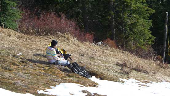
Taking a break
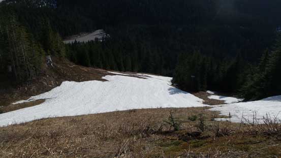
Looking down the “short-cut” run that we just ascended

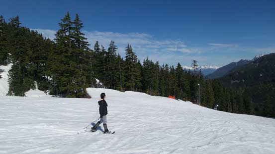
It was a great place to learn snowshoeing!

We’d soon gain that bench

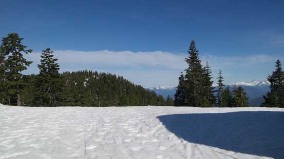
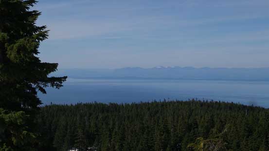
Good place to gaze the Greater Vancouver. Too bad about the haze
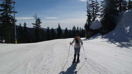
The typical plod once re-joining the “green run”
Almost there!
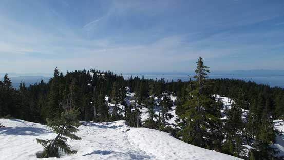
A view from the first summit (the chairlift summit)

Already able to see Mt. Tantalus and Mt. Sedgwick
Immediately beyond the “chairlift summit” there’s a dip followed by more forested terrain. It appeared there’s still fair amount of work involved so given our time constraint Cathy decided to wait for me tagging the true summit. It took me less than half an hour to rush there (hitting both the south and north peaks), and back. I also “discovered” a marked trail which might actually be the Baden Powell trail.
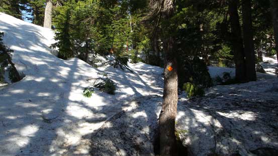
Picking up the marked (but icy) trail
From the south summit, looking across Straight of Georgia towards Vancouver Island
Looking down into the Howe Sound

This is the pond (still frozen) between the twin summits
Going up the north summit, looking back.
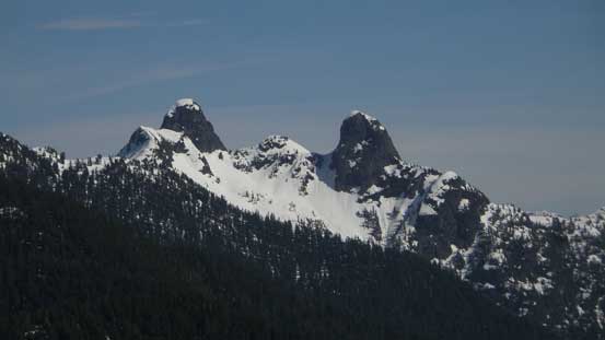
The classic view of the Lions. The route I took on E. Lion looks almost vertical from here!
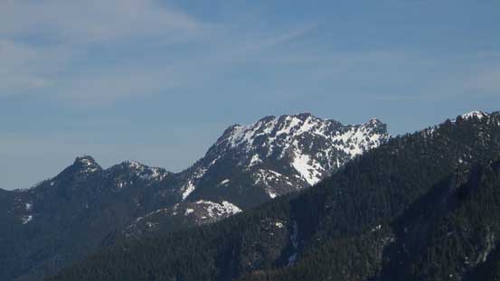
Brunswick Mountain is the highest in North Shore – high on my “list”.
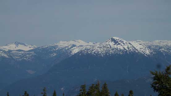
Mt. Wrottesley on the horizon with some remote peaks behind
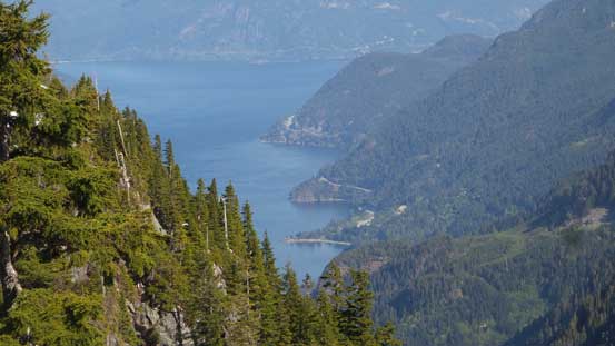
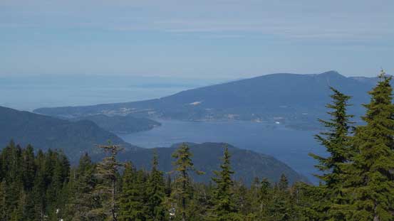
A zoomed-in view of Lions Bay

A wider view of Lions Bay and some of the North Shore Mountains.
My original plan for the descent was to follow the primary green run but Cathy was doing actually pretty good on the snowshoes so we figured might as well just go down a “blue run”. The slushy snow was super fun to plunge and we got down in literally no time, having lots of fun gliding (although I really wished to have my skis on).
Time to go home!
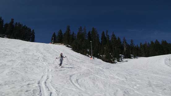
Having lots of fun plunging down the slushy snow
Back to the parking lot it was about 10:30 am which was just the perfect timing I was hoping for, to catch my afternoon/evening work. Black Mountain actually turned out a bit more than I was expecting as there’s actually some unique views from the summit especially looking down the Lions Bay.
