“Donat Hill”
November 23, 2023
407m
Bellingham, WA
“Donat Hill” is the unofficial name of the forested bump that looms above the north side of Lake Samish. The bump itself boasts over 100 m prominence but I cannot find the origination of this name, so I assume it’s just another random user-added name in the database of peakbagger.com. A quick research showed that most ascents were done from Samish Park to the south, but I thought the NE Ridge would offer a more direct and more open (scenic) option. I anticipated some private property issues as otherwise people would have come up from that side. I decided to check out the NE access nevertheless as the worst case I could drive around to the south side to do the standard route.
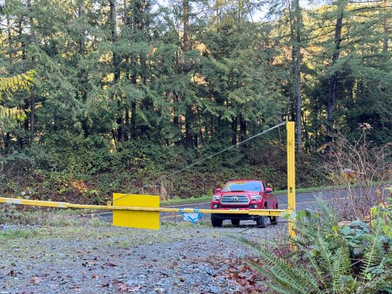
The weather was too good to stay in the city but I needed to be back home no later than 3 pm for work and I was quite tired recently due to various reasons. I did not fully make up my mind until literally the last minute because if I couldn’t get a good night of sleep then I wouldn’t go out. I ended up sleeping in till almost 10 am, so I had no excuse. I quickly made a ramen breakfast and drove south across the border. The border traffic was brutal thank to the Thanksgiving holiday but I held a Nexus card and it literally took me a few minutes to go through. The normal line looked to be at least an hour long. About 40 minutes later I arrived at the bottom of the forestry roads and not to my surprise there’s a locked gate with “private timberland” kind of words. I read the words carefully and it did not mention “no hiking” nor “no trespassing”, so I parked in front of the gate and went out for the hike. There was no designated spot for parking so I was literally blocking the traffic if someone’s going to drive through the gate, but they hadn’t put up a “no parking” sign yet so I had to take advantage of that.
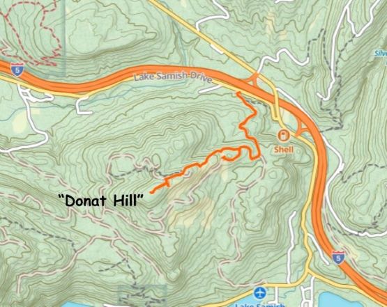
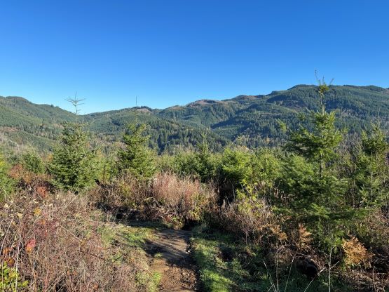
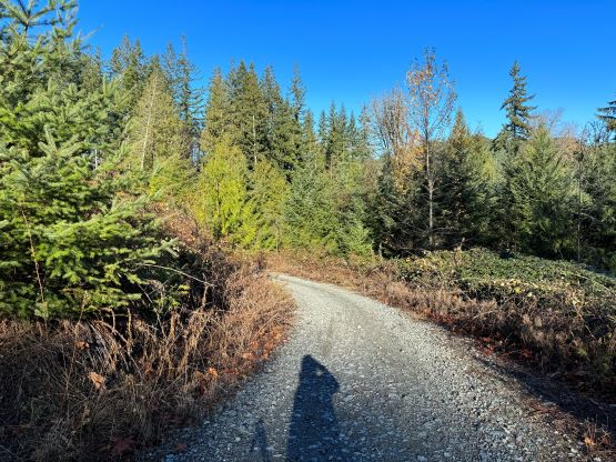
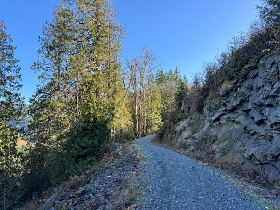
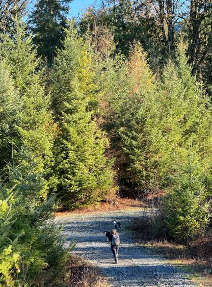
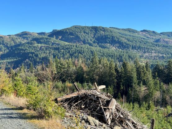
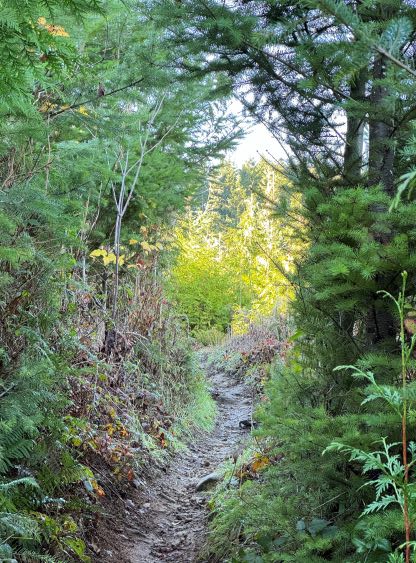
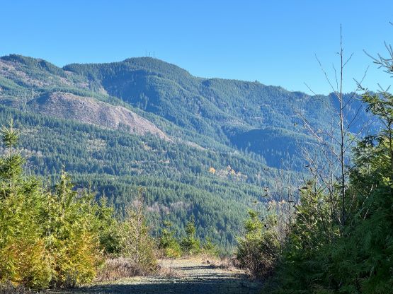
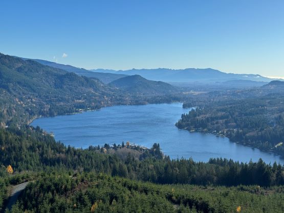
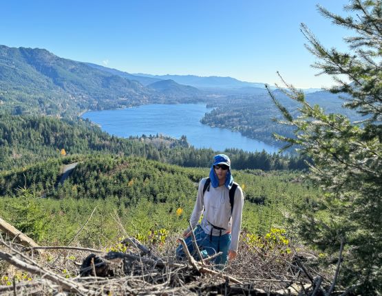
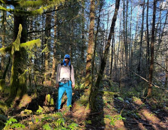
The lower half of this route could easily be biked but I was not considering that option when planning this outing. In fact, I could have ridden the long way around all the way to the very summit (staying entirely on the logging roads). Not having the bike with me I had to take the trail on the NE Ridge, but I was not paying enough attention to the topo maps. The turn-off is unsigned and easy to miss, that I ended up needing to backtrack. I attempted to short-cut through the bushes but there were too many thorny plants. The actual trail was slightly overgrown with lots of muddy sections, but was overall in a good walking shape. There was another important intersection higher up and I paid close attention to the maps this time, and picked the correct (left) branch. Nearing the summit I spotted a potential viewpoint and thrashed 10 m down to get some nice views of the lake. The true summit was however, hidden behind the communication structures and was completely forested with no view whatsoever.
The descent was uneventful as I again, paid close attention to those turn-offs and did not end up missing the trails. My round trip time was just over 1 hour on a leisure pace. Checking the time I realized that I still had at least an extra hour to kill, so made the spontaneous decision to tag that “Peak 380” in Ferndale. This is the second closest “P100m” objective from White Rock. I anticipated some private property problems based on the limited beta on peakbagger.com, but there’s only one way to figure it out. I simply parked on the side of the road and dashed to the highest point on grasslands. I was certain that the route was inside someone’s private property but I was lucky that nobody was there to fuss with me. After snapping a few victory shots I dashed back to the vehicle and drove home.