Shulaps Peak
October 16, 2022
2880m
Gold Bridge, BC
Shulaps Range occupies a large area immediately to the north of Carpenter Lake and east of the Chilcotin Mountains and Shulaps Peak is the highest in this area. The official name is misplaced on the maps as it’s well accepted that the high point of this range, about a kilometer to the south-east is the “true” Shulaps Peak. It’s unfortunate that most of the peaks in this range, Shulaps Peak included, are broad and dome-shaped that offer no technical difficulty whatsoever. The biggest attraction of this peak might actually be the prominence (over 1300 m) and because of that, I’ve seen Vancouver-based, or even internationally-famed peak-baggers coming from abroad to claim this summit. The prominence is also the primary reason why I planned this trip, but isn’t the sole reason. For once in a while I would like to pay a visit to this area despite the long and contrived drive, mostly for a change of scenery.
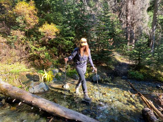
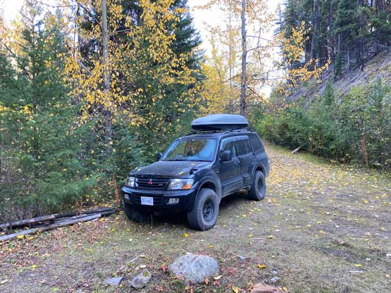
It seems that most parties use Jim Creek to the west to access (at least on the internet) but that approach requires a nasty traverse and/or elevation loss on the east side of the col immediately south of the peak. After evaluating the maps I decided to take the Brett Creek approach from the south which avoids any “class 3” or loose terrain. Sarah R. and I had been talking to get out over the weekend. I threw out a few suggestions and I was surprised that she didn’t rule out Shulaps Peak due to the lack of technical climbing. Vlad also messaged me and I was also surprised that he wanted to join, as a day-trip to Shulaps Peak would require more driving than hiking, hence breaking his own “rule”. Sarah offered to take her monstrous truck imported in from Japan. There are three ways to get to the area and each has its own merits. I insisted to take Hurley-Carpenter route in favour of robustness but we talked about taking the Mission Ridge-D’Arcy route (shortest) on the way back home to scout it out for future references. While driving northwards I ordered some burritos from Sunny Chiba in Squamish for dinner. I forgot to buy sandwiches for breakfast but I did bring a stove and some spicy ramen. The drive was overall uneventful and as expected and Sarah drove generally faster than me. We were even able to drive up the narrow spur road at the start of Brett Creek trail to shave off at least half an hour’s work in the morning. This spur road definitely required a high clearance and 4×4 vehicle.
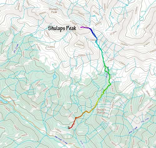
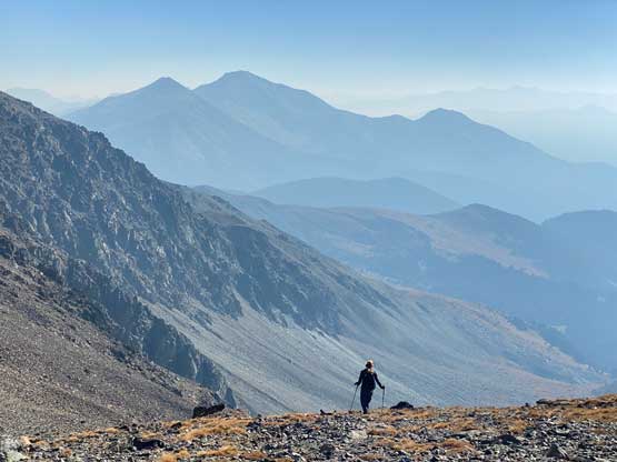
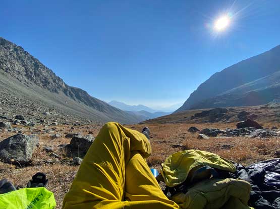
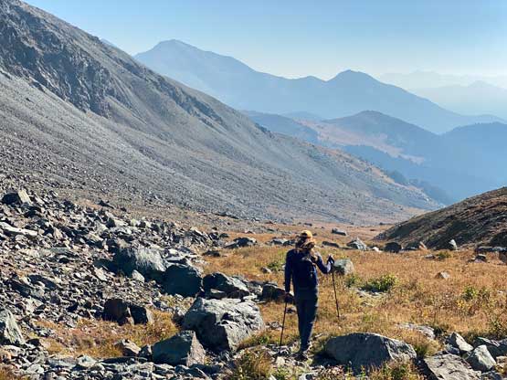
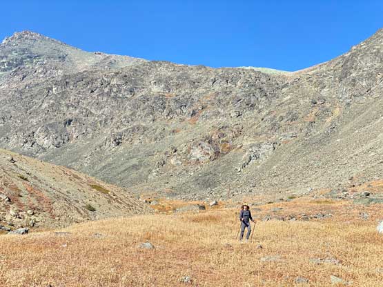
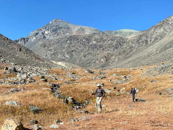
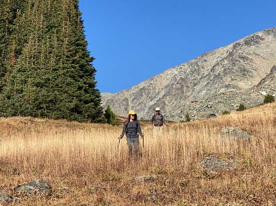
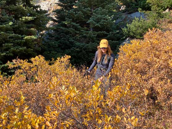
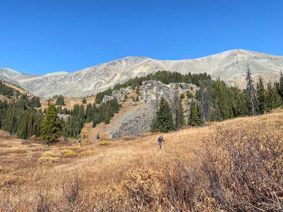
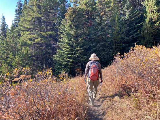
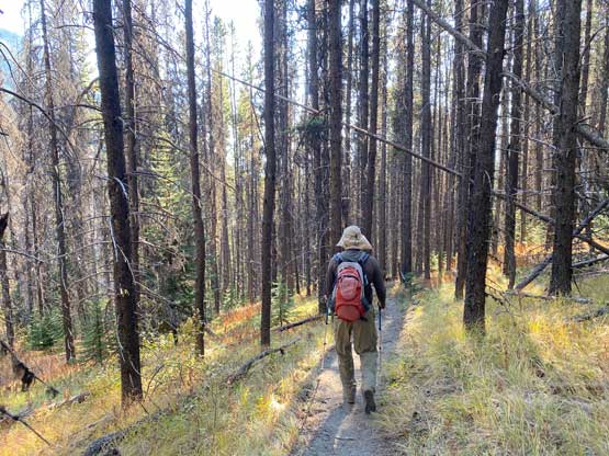
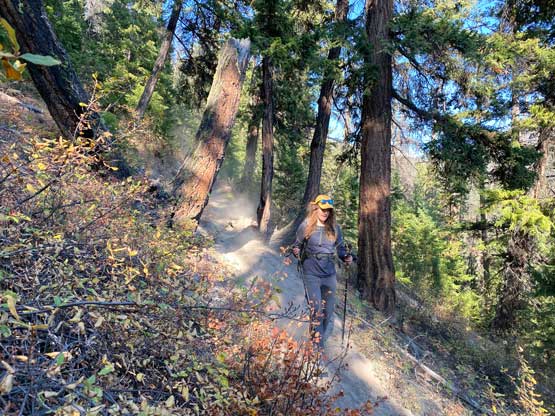
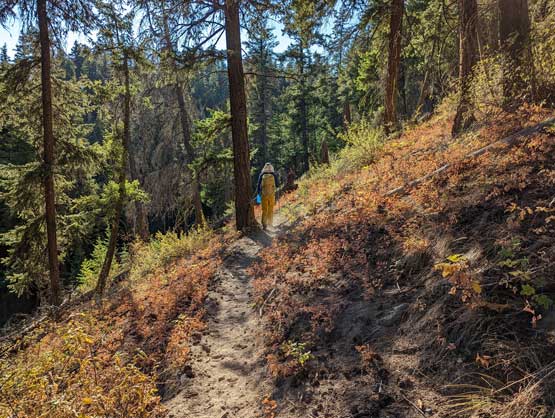
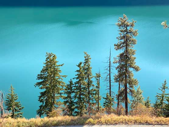
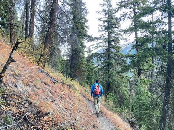
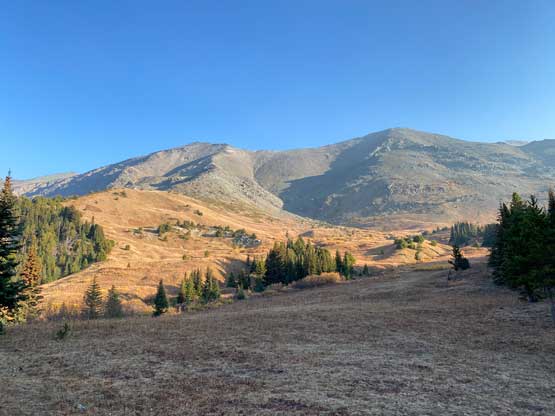
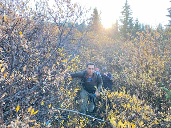
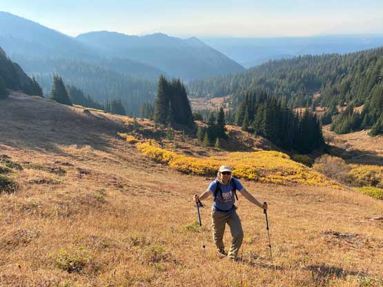
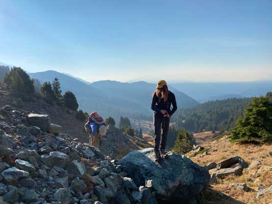
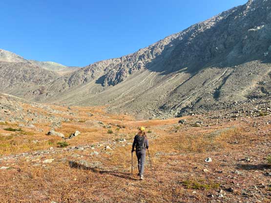
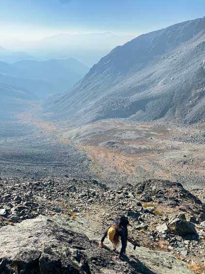
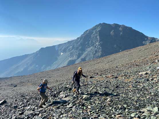
Sarah has an excellent sleeping set-up in the truck that made me feel as comfortable as at home. Poor Vlad had to sleep in his own tent in the cold. There’s a lot of condensation in the morning. We all got up at around 6:40 am and managed to start the plod an hour later. The trail in Brett Creek drainage was in some excellent shapes but we soon learnt the reason, as this area seems to frequent horse traffics. Nonetheless the plod up Brett Creek trail was boring and monotonous, but because of the excellent trail conditions we also dispatched elevation and distance more quickly than I thought. We started the hike at 1300 m elevation and joined Shulaps Traverse trail at at horse camp just under 2000 m elevation. There seemed to have multiple trails in the next zone and we somehow took a wrong one. The correct bearing was to take the leftmost trail with some elevation loss upon reaching any intersection, that we learnt later on the return. The wrong trail soon took a sharp right turn going towards the opposite direction that we wanted, so we left the trail, thrashed across some drainages with dense vegetation, and did a side-hill traverse across boulders to get back into the upper Brett Creek drainage. We then had no problem plodding up the grass and meadows in this drainage and this section finally had some Chilcotins feel with broad valleys and tall walls.
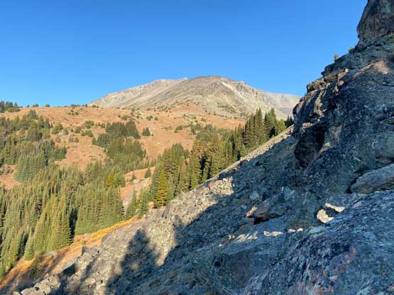
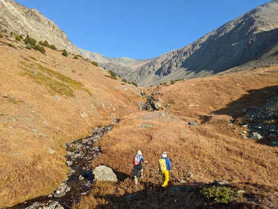
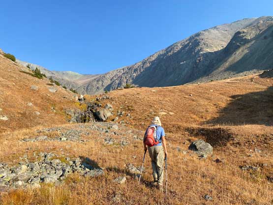
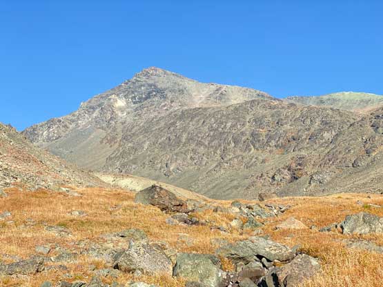
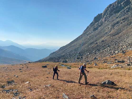
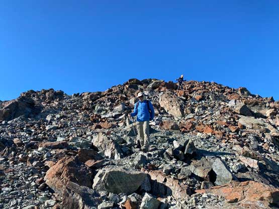
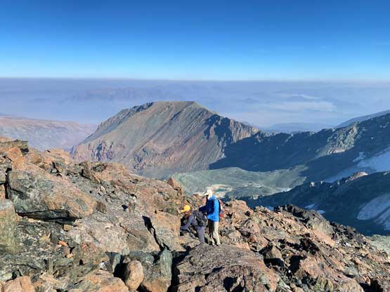
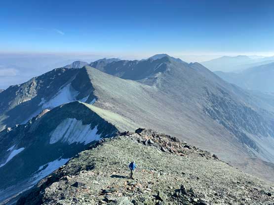
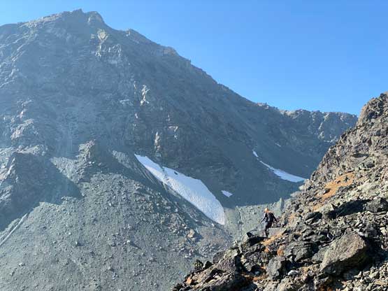
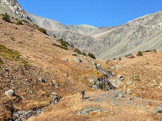
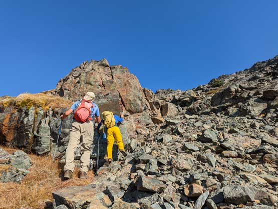
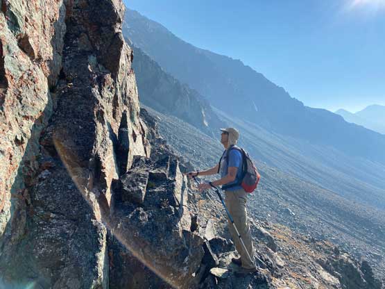
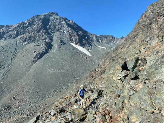
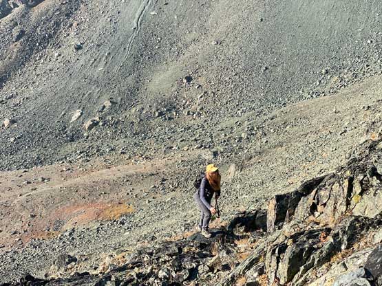
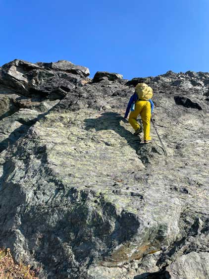
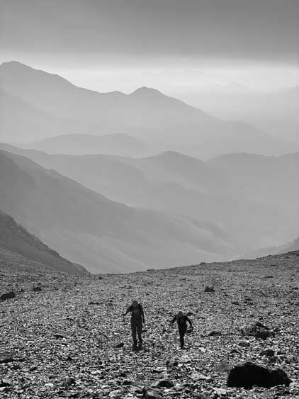
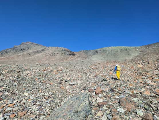
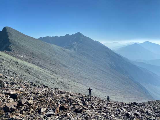
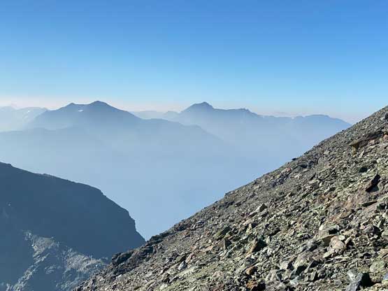
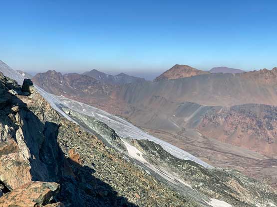
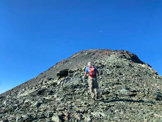
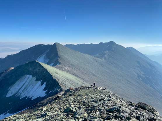
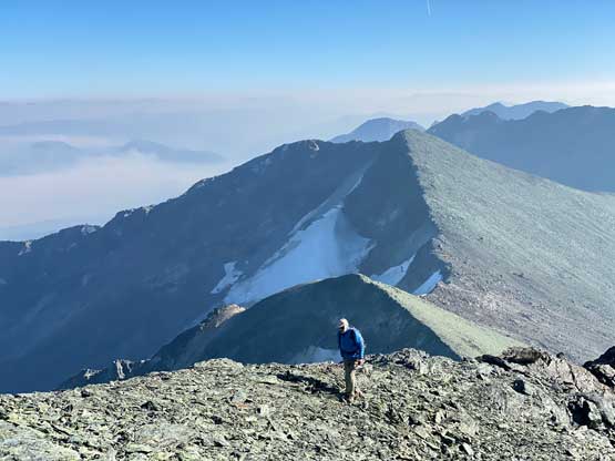
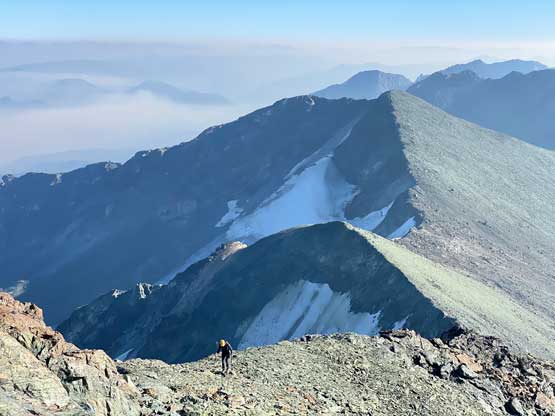
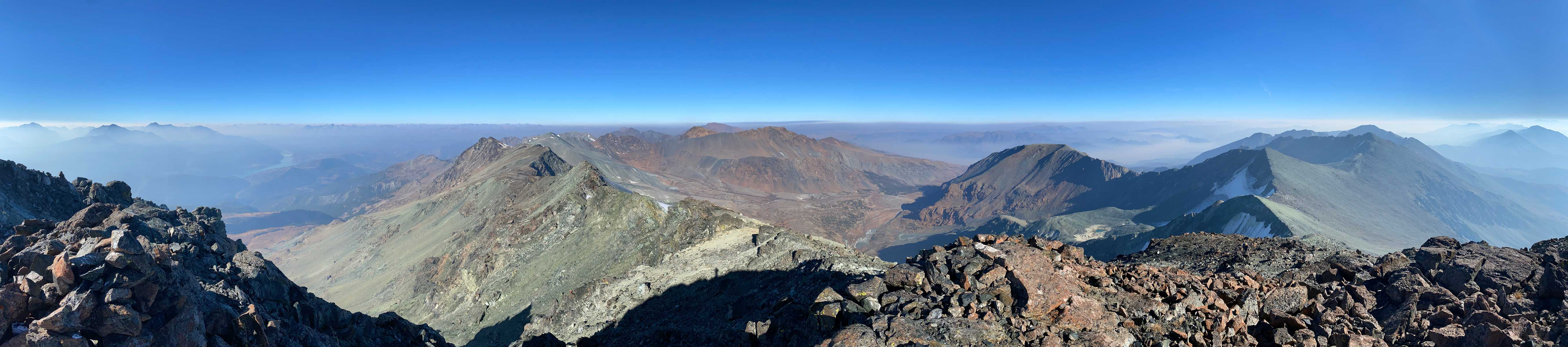
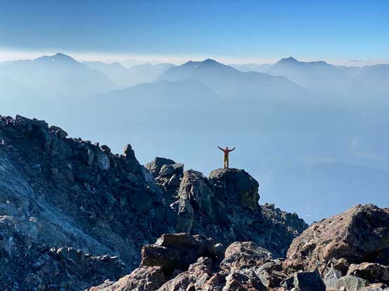
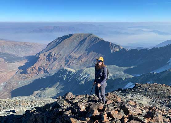
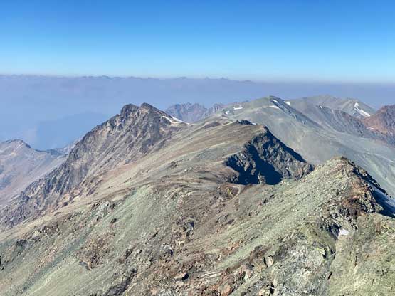
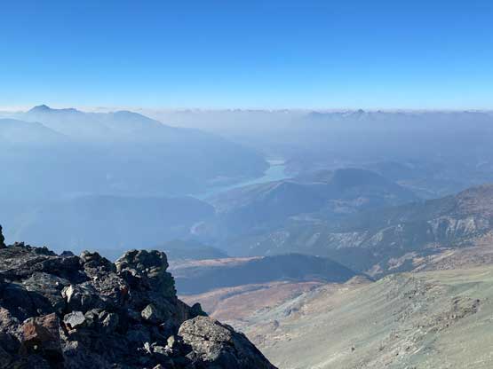
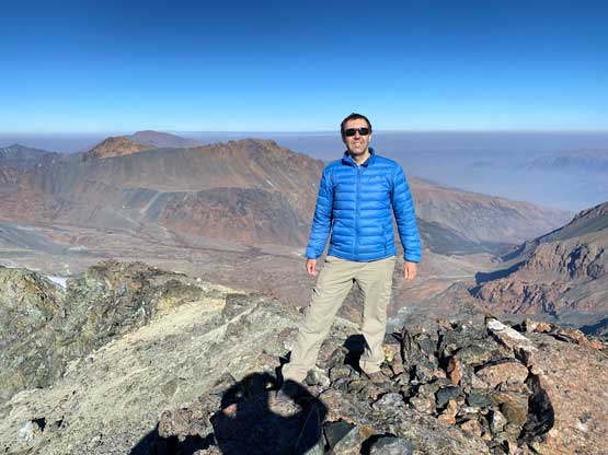
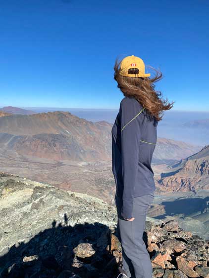
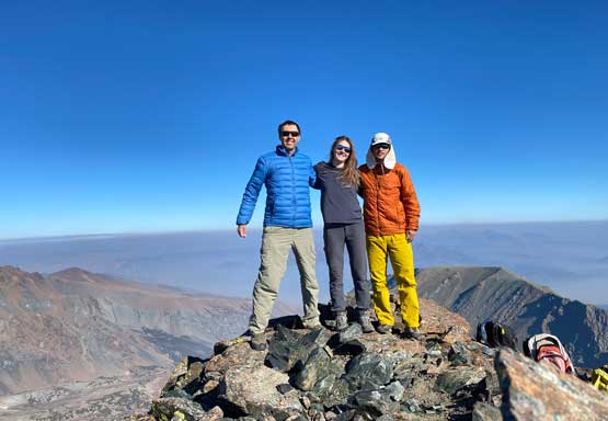
We ditched some unnecessary gears and I swapped footwear from trail runners to mountaineering boots at the base of our ascent route. The packs suddenly felt much lighter as I had brought too much redundant gears for contingency purposes. To get out of this cirque surrounded by Shulaps Peak and its south peak we had to deal with some steep terrain, but it wasn’t as bad as it looked from afar. The entire scramble could be done in the realm of “class 2” but we on purposed picked some 4th class steps for fun. Above the steep parts we plodded into the “upper cirque” with a significantly foreshortened slope leading upward into a shallow notch on Shulaps Peak’s east ridge. The wind picked up dramatically once hitting the ridge, but it wasn’t cold and we also finally ascended above the smoke layer that had been obscuring the views earlier in the day. The plod up the east ridge onto the summit was definitely the highlight with great views towards all directions. At this point we made the decision to omit add-on summits as they all seemed rather boring, so we might as well do a long stay on the high point to soak in our first Shulaps Range experience.

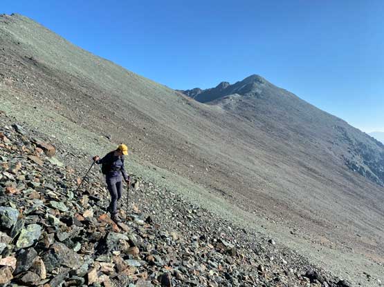
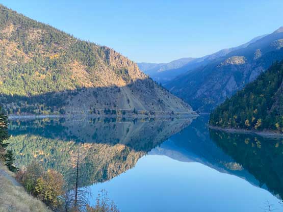
The decision was made to retrace the exact route that we took on the ascent with the exception of that boulder field part. The descent off the upper mountain took no time as the scree was fun to plunge down. The descent of the steep parts required some caution as the terrain was blocky and loose. We then took a long break at the gear cache before resuming the easy descent down Brett Creek drainage. Lower down I led us descending a straight beeline towards Shulaps Traverse trail to avoid that boulder fields or any unnecessary side-hilling. This route was not entirely free of bushwhacking, but was overall much quicker than the one we took on the ascent. I then let Vlad to set the pace down the trail and we plodded out in about an hour or two. Again, this trail was very boring and I wished that I had brought my earphones for music. The bright side of finishing a hike early in the day was to see the views on our drive-home. The drive around Carpenter Lake itself was very scenic so we stopped numerous times to be tourists. We then drove up and over Mission Ridge to Seton Portage and then D’Arcy. The conclusion was not obvious. This route has much shorter distance on gravel, but the parts on gravel was worse than the Hurley. I think if I were to choose I would prefer the 3rd option, to go through Lillooet via Hope, but that’s also because I live in the Fraser Valley instead of the North Shore. We eventually got back to Pemberton at dinner time and I got back to White Rock at 10:30 pm. This trip turns out to have 12 hours on the road for me, for 7.5 hours of hiking. Worth it? Hell yes!