Mount Campbell
March 27, 2021
846m
Penticton, BC
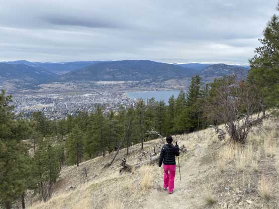
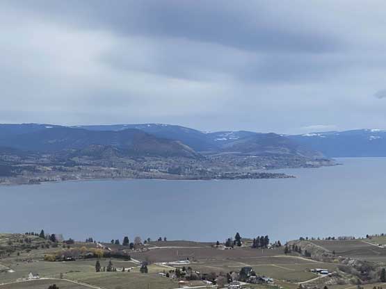
Mt. Campbell is one of those officially-named hills within the city limit of Penticton in the Okanagan Valley. This “peak” is more used for mountain biking as suggested by the maze of biking trails criss-crossing the flanks. Those trails can also be used for hiking but the views from this peak is not super attractive. There are some views down to the lakes from various stages of the hike, but not from the very top.
Kat had a rare full day without obligation to be in the city. I thought about to do a longer hike locally or to drive far eastwards to Okanagan. The weather made our decision as the only area without precipitation was the Okanagan Valley. We decided that this would rather be a road trip than a hiking trip but I did need to bag a new summit. I said we could just walk up Mt. Campbell in no more than 2 hours round trip. We left White Rock at around 9:30 am and drove through rain and snow up the Coquihalla corridor. We took the Okanagan Connector to Kelowna then southward to Penticton. The weather was worse than expected with some high clouds obscuring the sun rays.

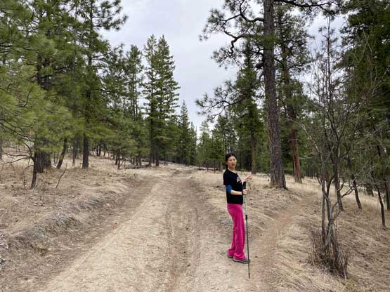
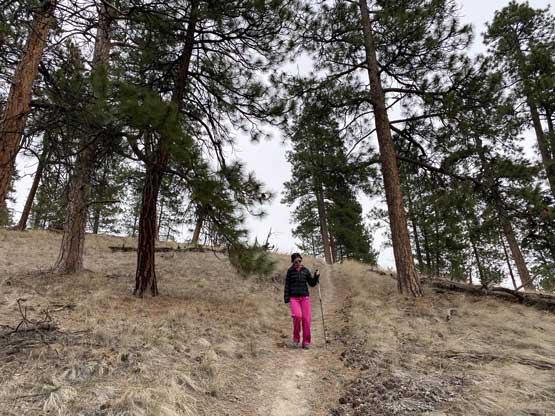
We had our (late) lunch in Penticton’s Tim Hortons and didn’t start the hike until almost 3 pm. Thankfully this hike was as short as I was hoping for. There were multiple points to start the walk and I randomly picked one based on the trails drawn on Gaia map. There were still a couple km of distance to reach the summit along with 300 m elevation gain, but the trail condition was excellent to walk on. The best views were ironically from a few random spots about 50 m below the summit, and the very summit was largely occupied by some communication towers.


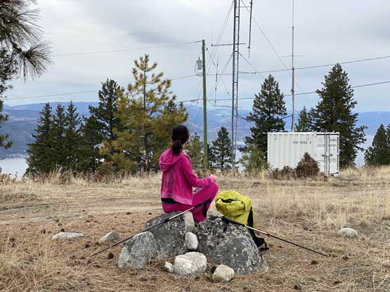

We didn’t linger too long on the summit as we didn’t want to be exposed to the electromagnetic waves for any longer than necessary. The descent was rather uneventful that we finished the hike in pretty much exactly 2 hours.


I thought about to tag the nearby Mt. Munson but it’s short enough (10 minutes round trip) that I wanted to save for another time in sunnier weather. There wasn’t a ton else to do and we did have to get back home on the same day, so reluctantly started the long drive. I chose to drive back via Highway 3 for some variety in scenery and this turned out to be a good call. We stopped in Keremeos for some food and fuel and then I pushed all the way back to Abbotsford in one go. We eventually got back home at around 10:30 pm.
