Foley Peak
August 18-19, 2020
2293m
Chilliwack, BC
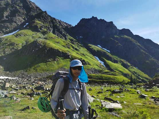
Foley Peak is a pointy-looking tower on the eastern edge of Cheam Range and appears imposing from all sides. The ascent is however, just a “difficult scramble” and is well documented in Matt Gunn’s Scrambles in SW British Columbia as well as other online trip reports. The nature of this ascent is very much similar to the nearby Welch Peak that some exposed scrambling and route-finding on loose terrain is required.
It seemed more common that scramblers come to the area and do either Welch Peak or Foley Peak as a day-trip, and come back for the other in another time. I consider that tactic as inefficient in peak-bagging and the plan between Winnie and myself was to bag both peaks in the same trip. We would camp one night at Williamson Lake to make our lives easier and to not rush things. The original plan was to do Welch Peak on the first day, come back to camp and do Foley Peak the next morning, but we jacked up the ambition gradually throughout the day as we moved faster than expected on this type of terrain. While descending Welch Peak we aimed for a high-level traverse towards Welch/Foley col and the plan now was to bag Foley Peak in the evening of Day 1.
Welch Peak and Foley Peak scramble routes. GPX DL
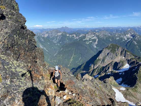
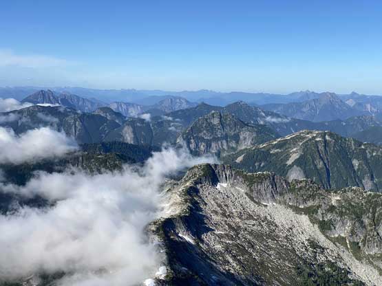
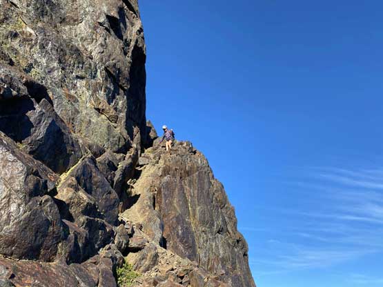
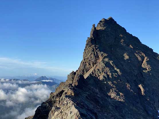
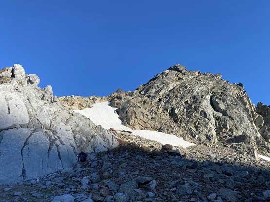
We traversed and ascended the north side of the SW sub-summit of Foley Peak following game paths and then descended low-angled snow to the base of Foley Peak proper. The scramble route was a bit tricky to locate but we had come up here with enough research including a recent GPS track given by Gurbaz and Duffy. The previous group had also flagged the scramble route to further ease route-finding challenges. Traditionally the scramble was accessed from pretty much the bottom of the SE Ridge but now it’s simpler to use a gully system to short-cut the route. This gully looked steep and intimidating but only “class 3” and the rocks weren’t that bad. Above the constraint we veered climber’s left on some ledges and steps and got onto the SE Ridge where the fun parts started.

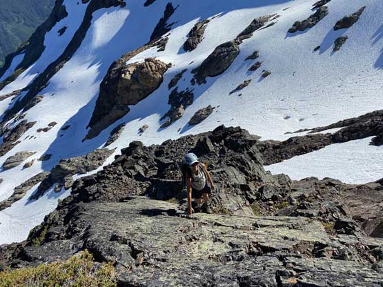
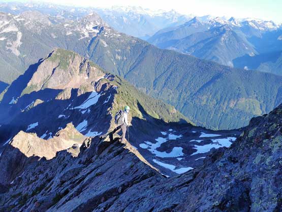
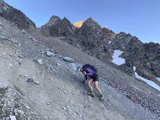
Winnie ascending the loose terrain on the north slopes of the sub-summit
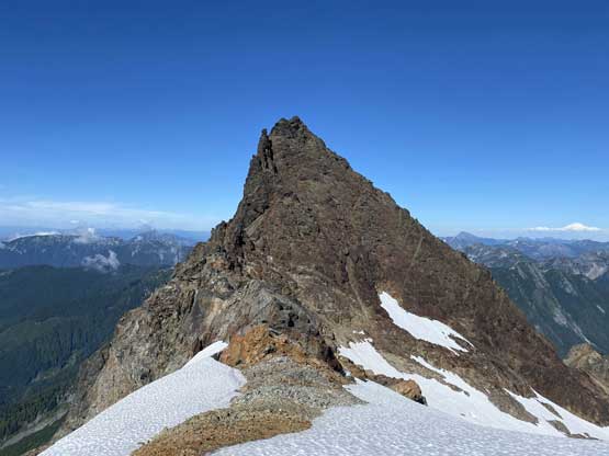
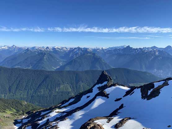
The true summit of Foley Peak displaced in front
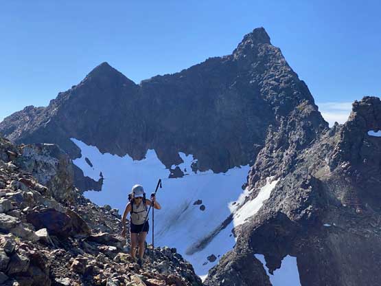
Winnie with Welch Peak behind
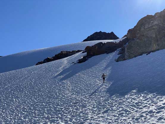
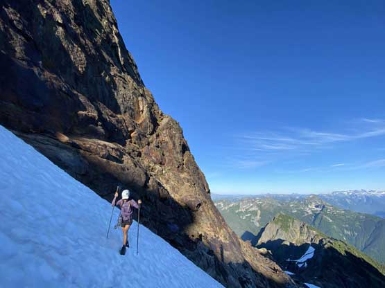
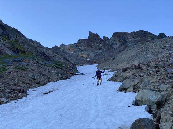
Descending easy snow slopes
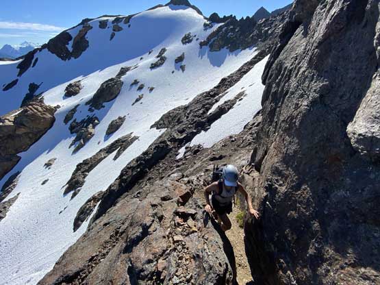
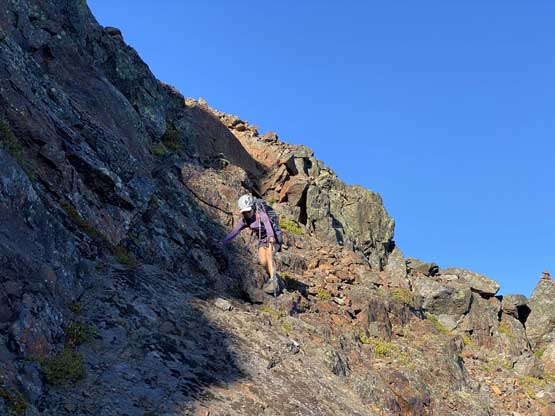
Winnie scrambling up the access chimney to get onto the scramble route
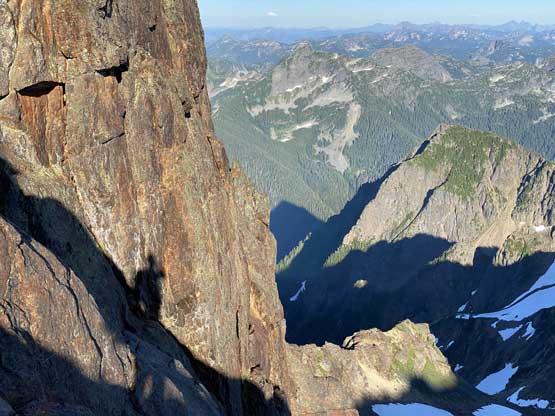
One of my favourate shots in this trip!
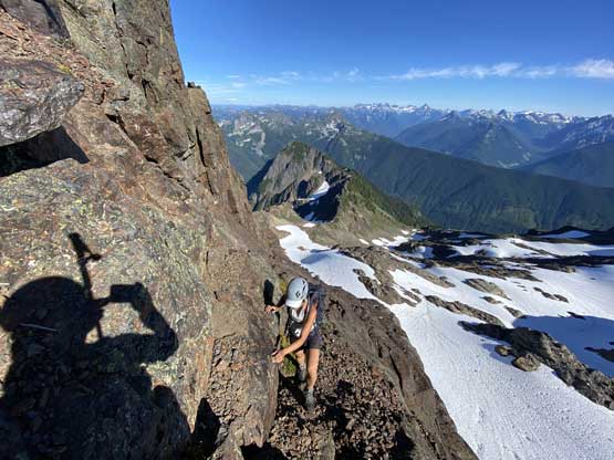
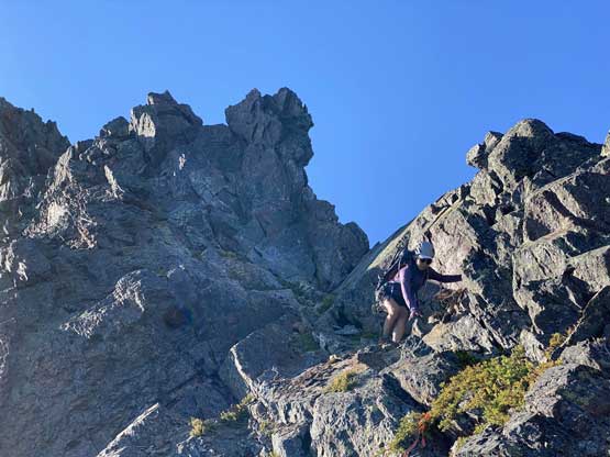
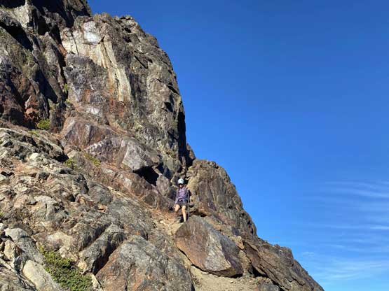
Winnie scrambling up the typical loose terrain to gain SE Ridge
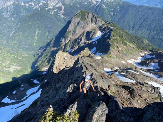
We tried to stay on the SE Ridge crest for as much as we could and encountered a few tricky 4th class moves here and there. We did have to detour slightly to the left or right but never went too far away from the crest. The ridge scramble was longer than anticipated but quite fun, so I wouldn’t complain. It seemed like we had some extra time to kill so lingered on the summit for over half an hour soaking in the late-afternoon view.
Scrambling up SE Ridge
At a few spots we had to detour slightly to the sides
Winnie having lots of fun
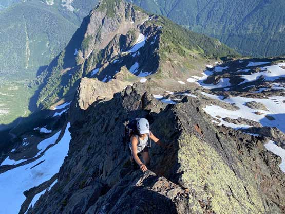
Winnie on an exposed step
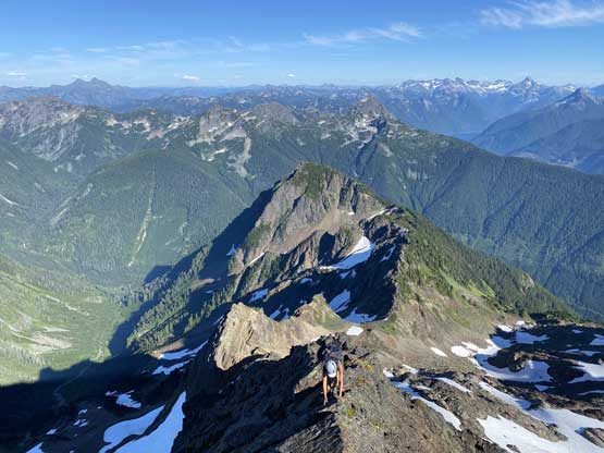
Winnie almost at the summit. The exposure is pretty real on this peak
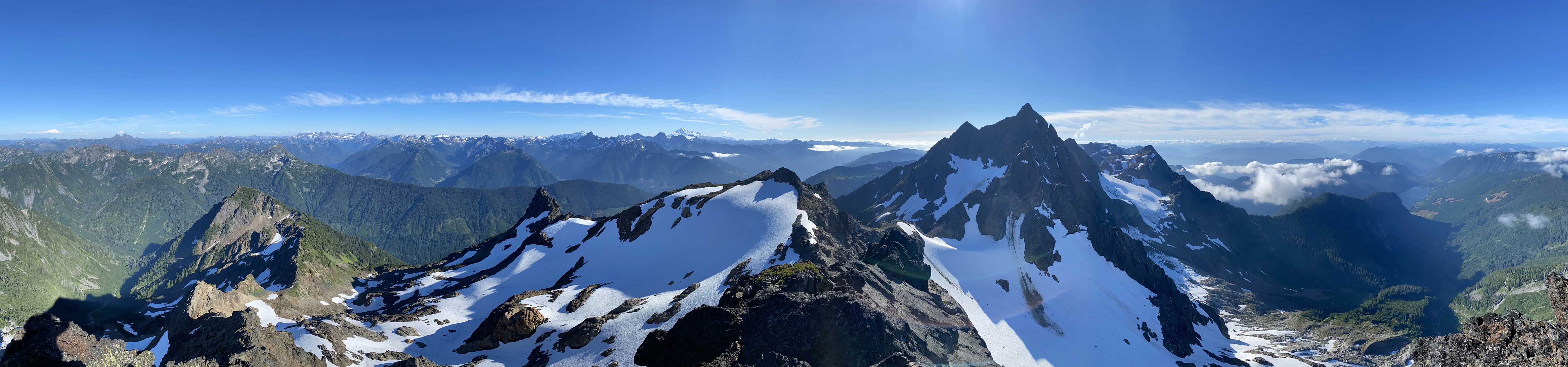
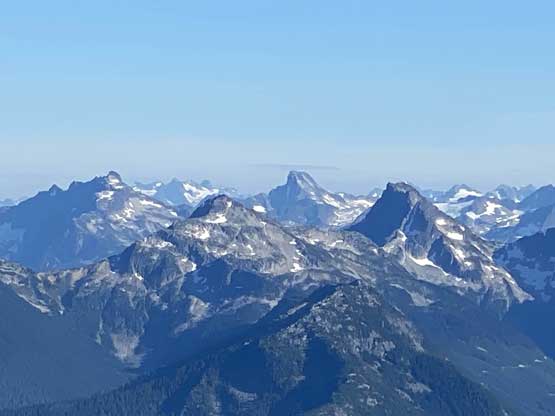
Partial Summit Panorama from Foley Peak. Click to view large size.
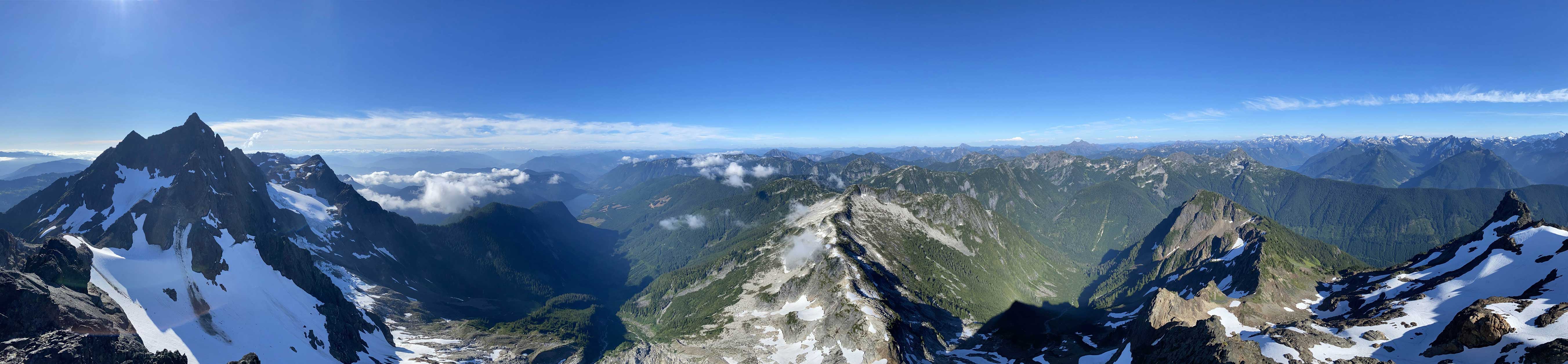
Partial Summit Panorama from Foley Peak. Click to view large size.
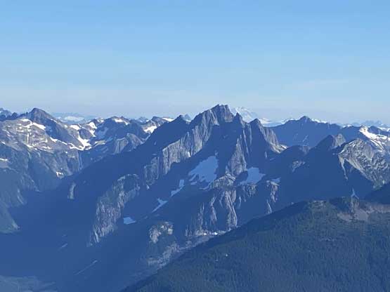
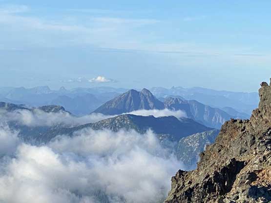
The typical North Cascades view looking south
Stewart Peak in foreground
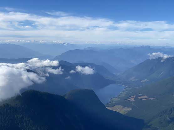
Looking north down at Jones (Wahleach) Lake
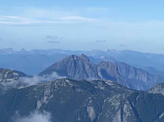
This is looking down at Isollilock Peak
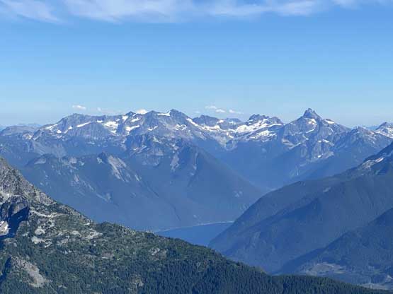
Mt. Spickard and Mt. Redoubt behind Chilliwack Lake
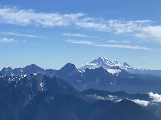
Mt. Baker pokes behind Border Peaks
Mt. Rexford and Nesakwatch Spires
Luna Peak behind Mt. Lindeman
A closer look at Mt. Redoubt, with Mox Peaks to the left
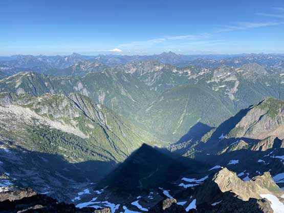
The shadow of Foley Peak in Foley Creek drainage
Conway Peak in the very foreground partially engulfed in clouds
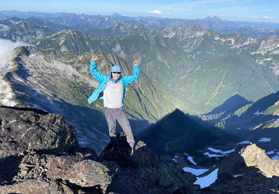
Me on the summit of Foley Peak
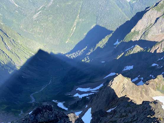
Another photo of the shadow
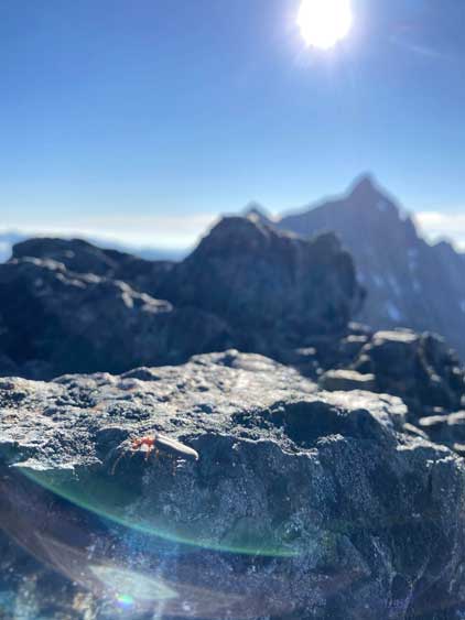
Summit bug!
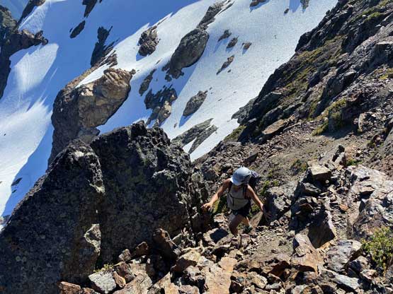
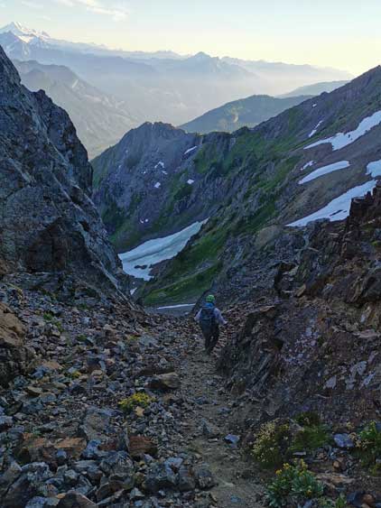
The only way to descend was to go back down the same way, but we did do a few smaller variations on the ridge to avoid 4th class down-climbing. The gully was easily located thank to Duffy’s flags, and we easily plodded back up the snow slope and then around the north flanks of the sub-summit. We followed the GPS track descending a steep and loose scree chute down into the broad basin under Foley Peak and Welch Peak. For a while the scree descent was painful but we soon traversed skier’s right onto a thin strip of snow hoping for some boot-skiing. The snow was indeed soft enough to boot ski, but we also had to be cautious not falling into a hole. We had to stay on the very edge of the snow as the middle of the run had some creeks running underneath. This thin strip of snow brought us a long ways down to almost Williamson Lake. The rest of the hike back to our tent was uneventful. We managed to get back with still half an hour’s extra daylight time, which was more than enough to cook a well-deserved dinner.
Me just about to descend. Photo by Winnie M.
Winnie scrambling down the typical terrain on SE Ridge
Lots of concentration was required
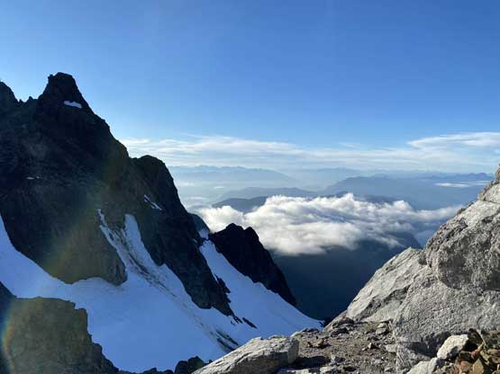
Steep walls all around us.
Winnie just about to down-scramble the gully
Winnie now finished the gully descent
Traversing easy snow slopes
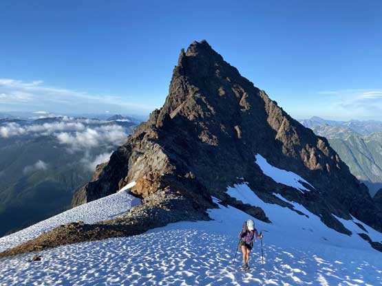
Winnie re-ascending with Foley Peak behind
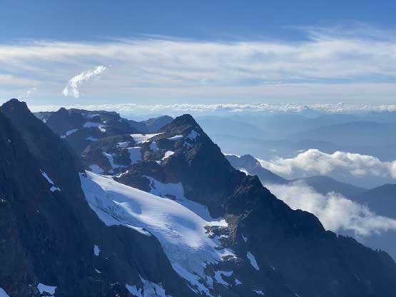
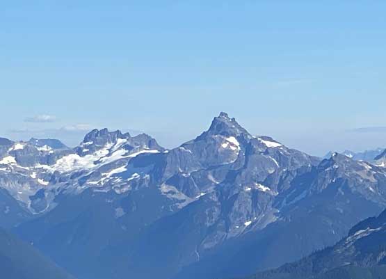
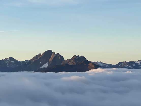
A closer look at Foley Peak
Another look at Isollilock Peak
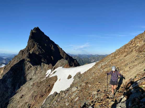
Traversing the north side of the sub-summit with the true summit behind
One last look northwards down into Fraser Valley
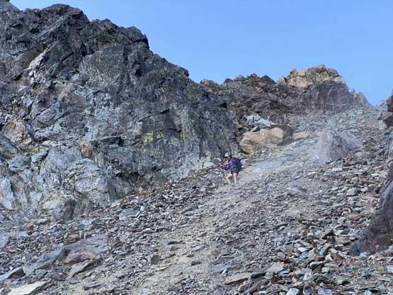
The typical chossy terrain

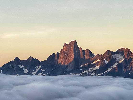
One last look at Foley Peak
Me heading down this scree chute.
Winnie descending on some very shitty choss
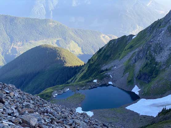
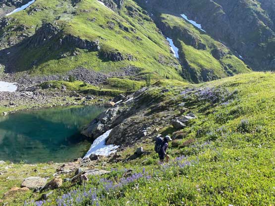
Williamson Lake
These few steps were not very good..
Finally merged into the snow gully
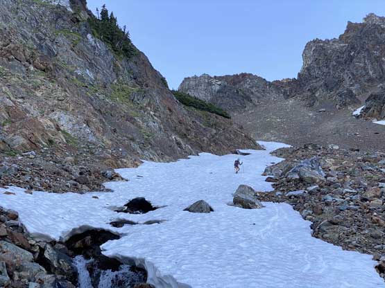
It was a very long boot-ski
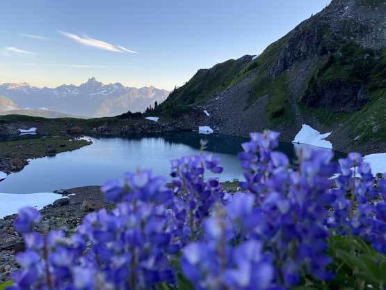
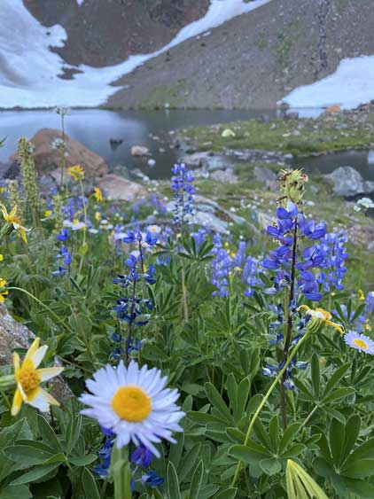
Flowers and Williamson Lake
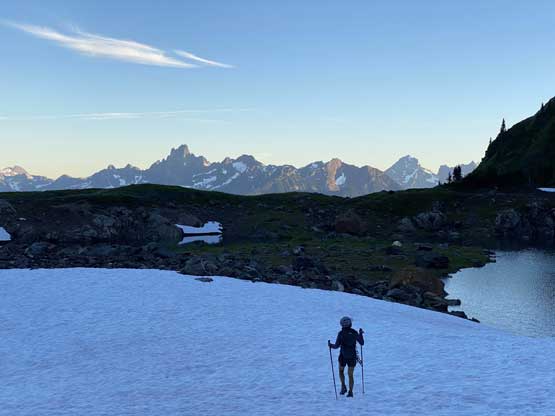
Descending the last patch of snow slopes back to camp
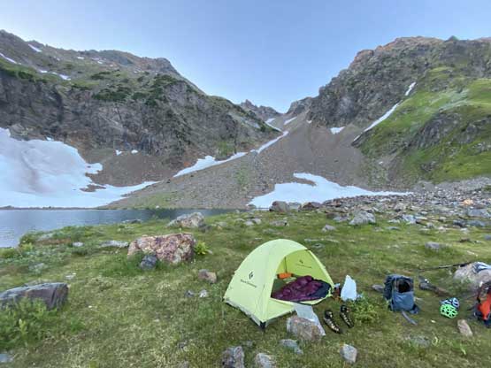
Our camp at Williamson Lake
It was a very nice place no doubt.
On the following day we woke up at around sunrise and went out to see some alpenglow and sunrise. We ended up having to wait for half an hour for the sunrise. We were also lucky to have some valley inversion clouds added to the dramatic scenery. Once the show’s over we went back to the tent and packed things up. The descent was a bit painful but at least it’s a short one.
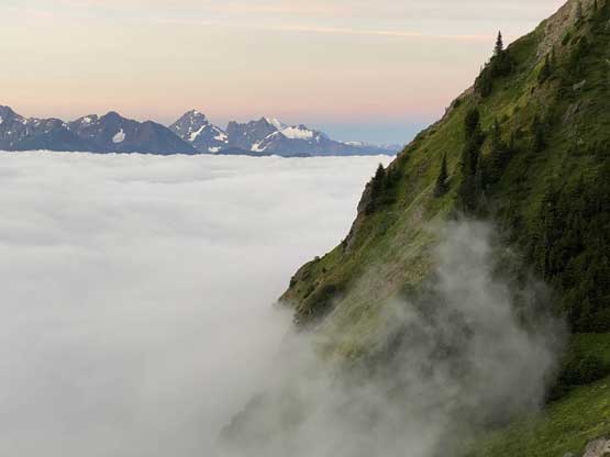
Morning fog over Chilliwack River Valley
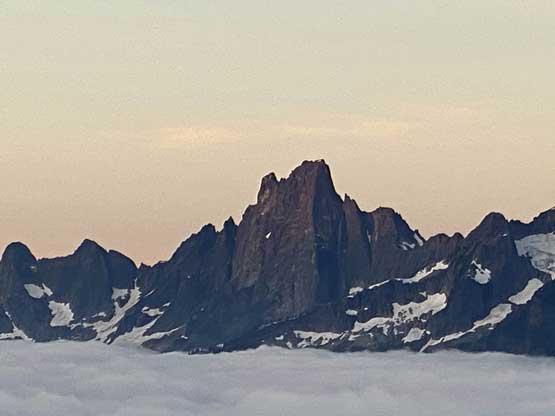
The NE Buttress of Slesse Mountain just about to catch the first sun rays
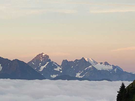
American Border Peak on left, catching alpenglow
Another photo of Slesse Mountain catching the alpenglow
Mt. Rexford above the inversion clouds
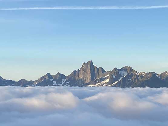
Slesse Mountain a while later
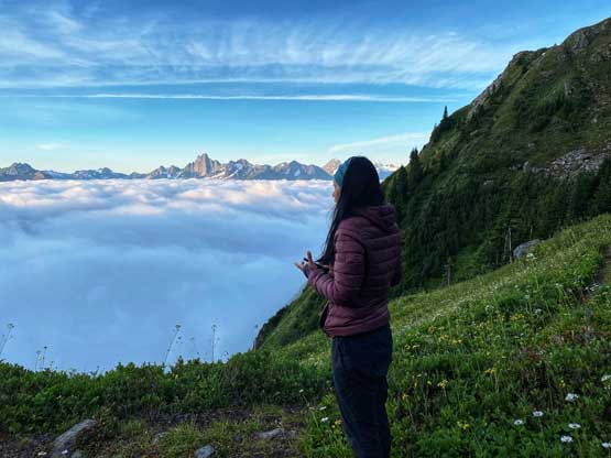
Winnie soaking in the expansive views

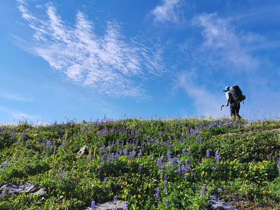
More flower shots !
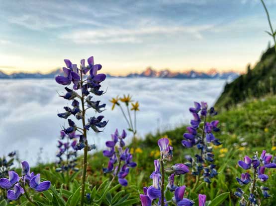
And yes, more flower shots… Winnie told me these are lupines
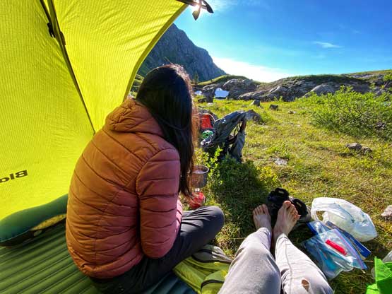
Back to our tent ready to pack things up… No rush…
Me just about to leave camp. Photo by Winnie M.
Me heading back over the lip of the ridge. Photo by Winnie M.
Winnie heading back up the lip
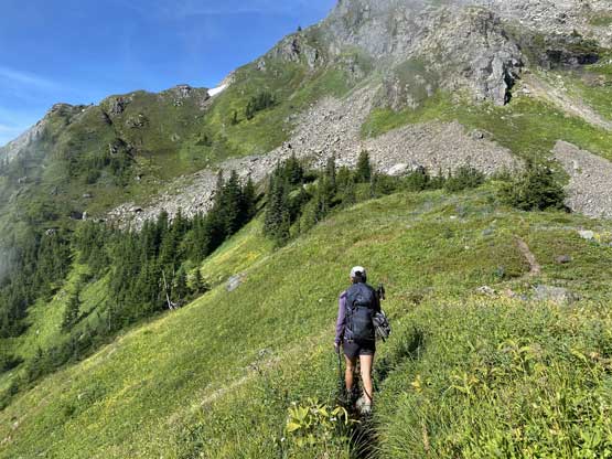
Descending Williamson Lake trail
We found more flowers!
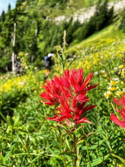
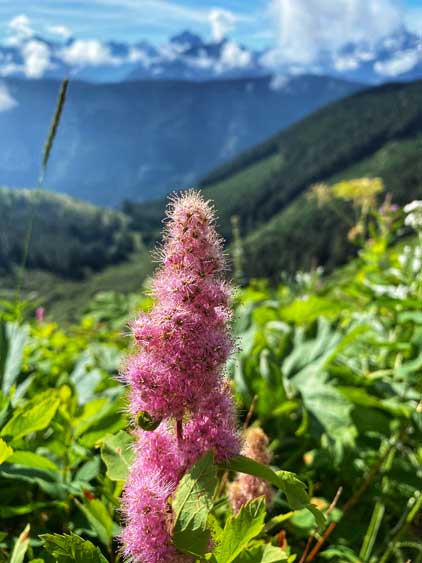
This one I know… Indian Paint Brushes…
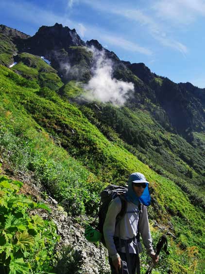
Me on the hike-out. Photo by Winnie M.
We were not home free yet as we still had to negotiate the rough roads. I knew it’s not going to be easy but I didn’t feel anxious about it as I knew in general, the drive-down is no worse than the drive-up. This time, the descent was quite uneventful. On the way home we calculated the time for my afternoon work, and opted to go straight to White Rock. After a sushi lunch I had to drop Winnie off at the bus station as I only had 1 hour of spare time before work. Overall I enjoyed pretty much every single part of this trip despite the chossy terrain. I think the company and the fact we didn’t have to rush the schedule really helped. The only unfortunate event was Winnie’s cell phone. I didn’t know what exactly happened but she eventually had to send the phone to the factory and the repair took a couple weeks long…
