Prospector Peaks
October 4, 2015
2455m
Phelix Creek / Birkenhead Lake Area, BC
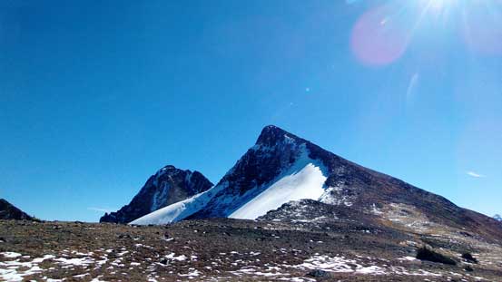
Prospector Peaks are a collection of two peaks in the Cadwallader Range north of Pemberton, but unlike other dual-summit objectives this has one being clearly the true peak. The NE peak is roughly 100 m higher in elevation than the SW, and is a relatively eye-catching objective in its vicinity especially when viewing from the north (thank to its glaciated face). Alex, Dean, Ben and myself ascended it on the second day of our upper Phelix Creek peak-bagging camp, after successfully ticking Mt. Weinhold and then Mt. Taillefer off our list.

Scramble route for Mt. Taillefer and Prospector Peaks. GPX DL
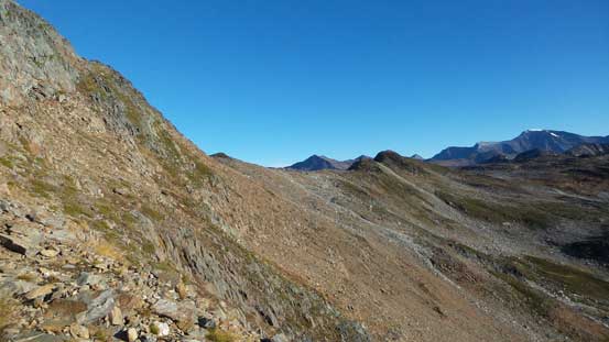
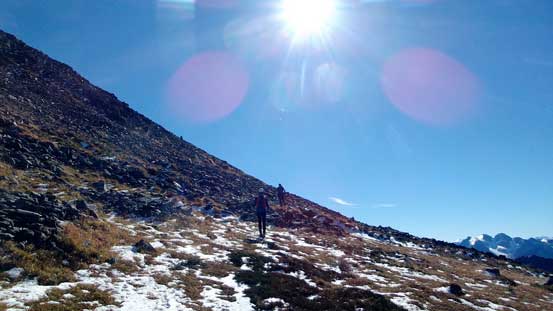
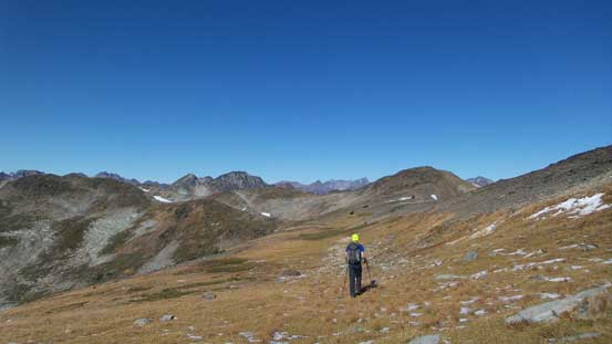
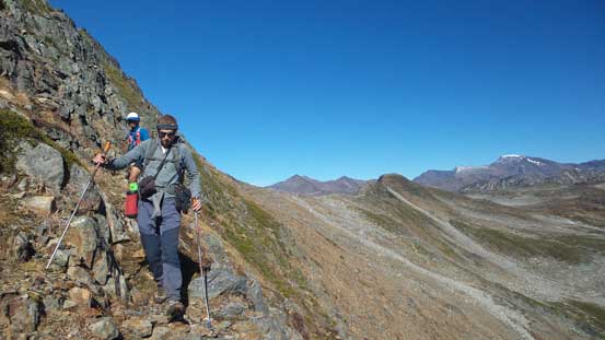
Earlier in the trip we’d already downgraded our ambition to save Standard Ridge/Peak for another trip, so slept in till almost 7 am. From our camp below the SE slopes of Mt. Taillefer we picked a rising traverse line due East avoiding the temptation to gain too much elevation. We bypassed a couple high points on the right hand side and upon seeing a huge bowl (with significant amount of elevation loss) ahead we started contouring to the left on a broad ridge plateau. This eventually led us to the base of our objective.
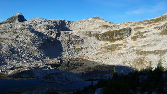
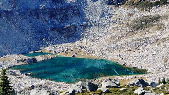
Looking back towards those lakes in the morning

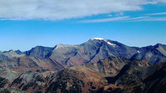
Mt. Taillefer
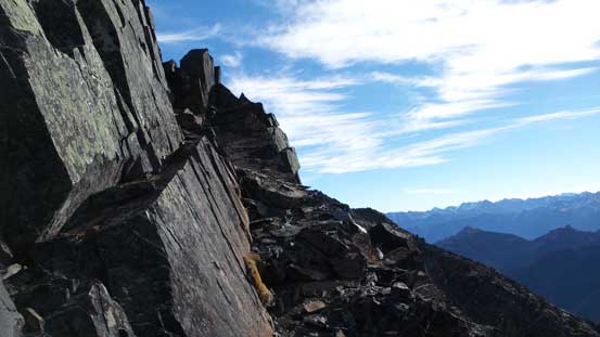
Some steep side-hilling ahead

Ben on the ridge

The highpoint that we bypassed
Alex on the ridge/plateau traverse
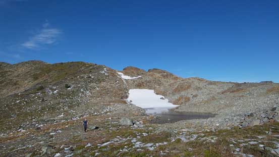
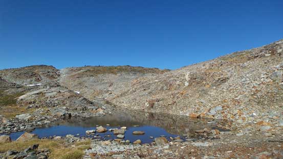
One of the few tarns along the way
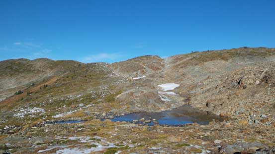
Another tarn

Our objective ahead
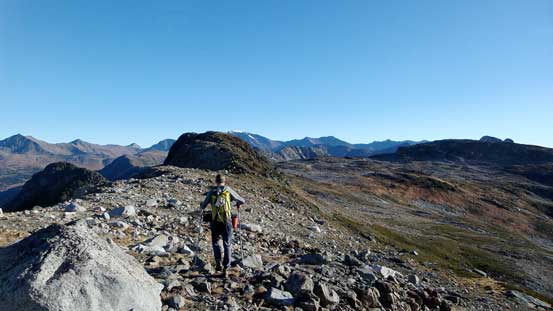
There’s another peak in front of us that we opted to ascend up and over on the way up, but side-hill around on the way back. The rock was loose but from the top of this peak we did get a great head-on view of our objective. Slogging up the SW (false) summit was uneventful and in short time we were looking at the final steep scramble.

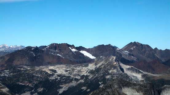
There’s a mud lake on the north side of Propector Peaks

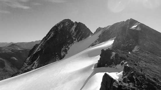
The north glacier
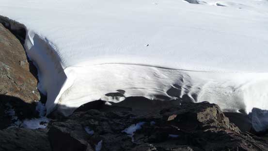
Here’s a huge moat

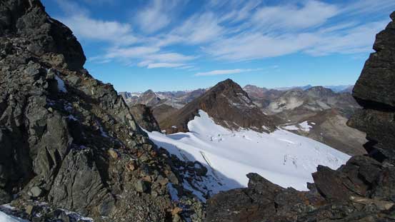
We traversed up and over this first peak
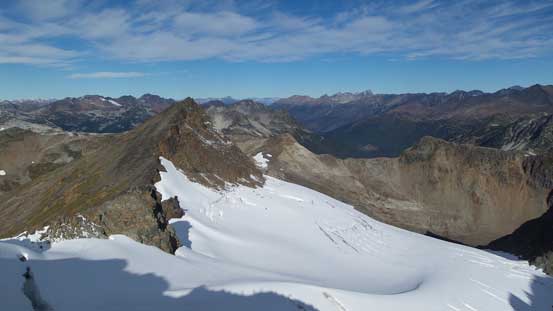
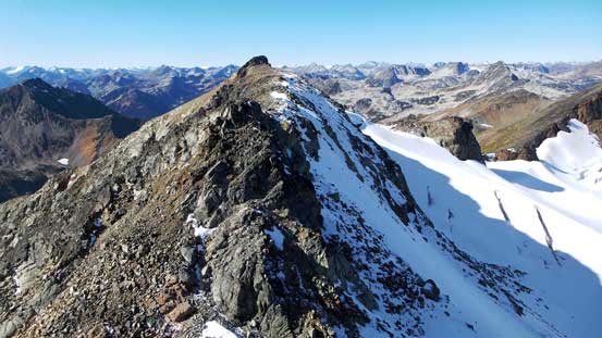
The SW, then NE peak ahead
Dean soaking in the views

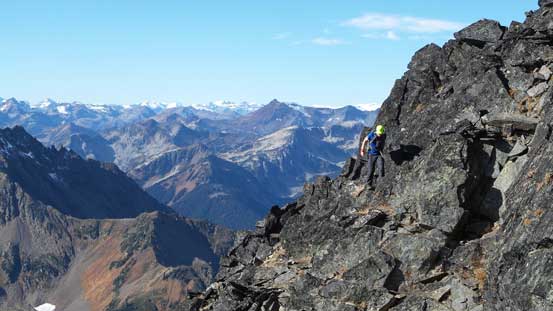
Alex traversing towards the true summit

The fractured north glacier
Looking back at the first peak
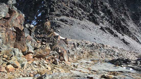
Very loose terrain leading to SW/NE col

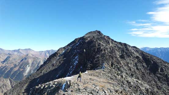
The SW peak
Descending from SW peak
A view from the col
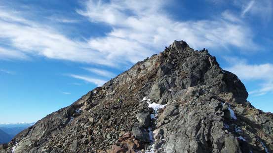
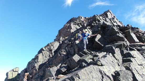
The true summit looked fairly involved from afar but not quite the case. The rocks were again, loose but the scrambling never exceeded Class 3 and with Alex leading the way up we soon made to the summit. We took a long break up there before committing to the long descent back to car…

Dean and Ben ascending the true summit
Some typical terrain
We had to traverse on the south side for a bit
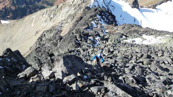
Up the final boulder field
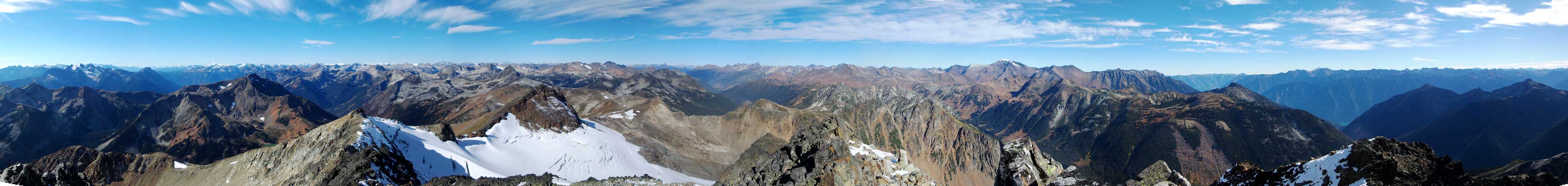
Summit Panorama from Prospector Peak. Click to view large size.

Dean approaching the summit
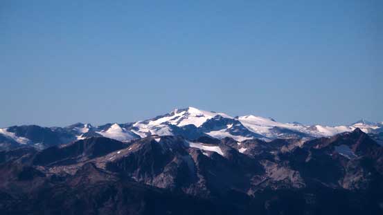
Whitecap Mountain dominates the view towards north
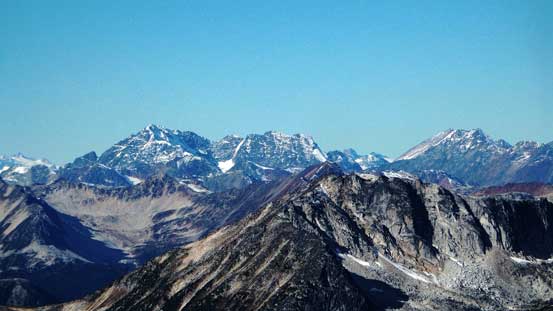
Mt. Marriott at center
Looking towards the upper Phelix Creek area. Mt. Aragorn is the dark peak

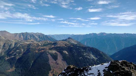
Looking down Cadwallader Creek drainage towards Mt. Truax

Mt. McGillivray at center foreground
Ipsoot Mountain

Way towards south we could see Mt. Tantalus (L) and Rainbow Mountain (R)

The Black Tusk is the pointy peak (R)

The N. Face of Birkenhead Peak

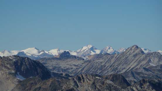
Some peaks on the Pemberton Icefield in the distance
Overseer Mountain (center) behind Sockeye Horn (R)
Mt. Sampson (L) and Sessel Mountain (R)
Mt. Gandalf (L) and Mt. Aragorn (R)
Looking down McGillivray Creek towards East
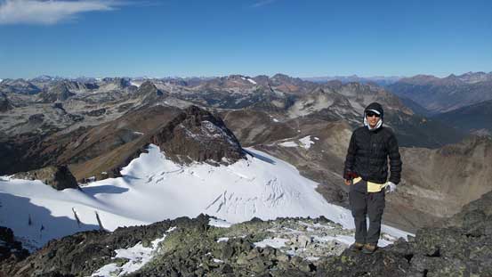
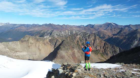
Me on the summit of Prospector Peak
Retracing our steps back down the ridge and over the SW peak went uneventful and at the base of that 3rd peak we opted to side-hill around. There’s one section of horribly loose talus but overall I’d still prefer this option versus going up and over. And then it’s that broad ridge plateau traverse. We followed more-or-less our uptracks but did do a few deviations. Back to camp, we spent half an hour packing up and resting and then it’s time to get ready for the unpleasant bushwhacking fest… I had to say the down-hill bushwhacking wasn’t nearly as bad as expected, but the slide alders down by the creek was a different game though. That part was just as horrendous as what I remembered on the way in, but oh well… I had to get used to this as I’m in the West Coast now…
Descending the true summit
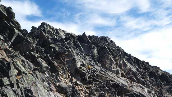
Typical, typical…
More about the true summit
The SW Peak ahead
Going up the SW peak, looking back
Side-hilling traverse around the next peak
Back to the plateau traverse
Looking back towards our objective
It’s that tarn again
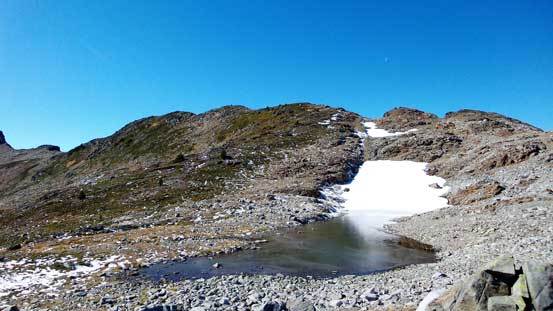
The next tarn

Looking back
Steep side-hilling
Almost down to the camp now

Our campsite. Photo by Dean
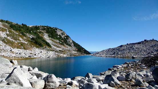
Beautiful lakes around

One last look at these lakes
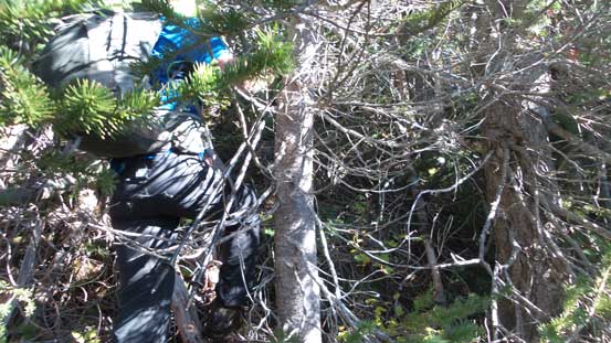
Oh the bushwhacking…

Powering through the alders

Can you spot Dean in the alders?!
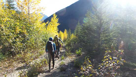
Back to the logging road slog…
Overall this was a great trip with a very capable group. Although it wasn’t quite on the agenda, it did get me introduced to the West Coast bushwhacking… This area, though remote, does offer some great peak-bagging opportunities with those long ridge walks and I’m sure I’ll be back sooner than later. The drive back home was long (4 hours) but after a last-minute check with weather forecast I figured I had to make use of the next day…
