Mount Harvard and Mount Columbia
September 4, 2026
4397m
Buena Vista, CO
Mt. Harvard is the 3rd highest peak in Colorado and hits the box of being both a 14er and a P600m objective but the reason why I insisted on doing it in this trip was because Clair had got into the actual Harvard in Boston. The other Harvard would be too much for me so I had to pick one that might be too much for her to equalize it. I still think she can totally do it as there’s no technical difficulty whatsoever, but not coming right from the couch as physically this is a demanding outing even by the easiest possible way. For the capable scramblers Mt. Harvard is often combined with a traverse to Mt. Columbia but there are enough boulder-hopping to deter the masses. Since the weather was supposed to be good and I was already fully acclimatized by this point I preferred to do the traverse.
In the previous day I scrambled Mt. Sneffels in the San Juans and drove a few hours towards Buena Vista afterwards. The distance might not seem like much on the maps but the roads were winding and convoluted. I also drove through the 3500-m Monarch Pass and took a short break there. I thought about dashing up the unnamed P100m objective next to the pass but decided against it. Instead, I bought some food and drove straight to the trail-head for Mt. Harvard and crashed there for the night. The road was quite rough for the last few kilometers but imposed no problem to the rental AWD. There were already quite a few car-campers out there. The actual trail-head had multiple signs of “no camping” but you know what, I don’t give a fuck. Judging by the amount of campers I don’t think the locals would give a fuck neither. I also decided against an alpine start since I preferred to actually enjoy the hike. There were some risks of thunderstorms but only in the late afternoon, and I should be fast enough to beat them.
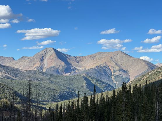
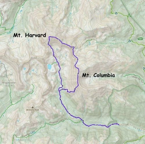
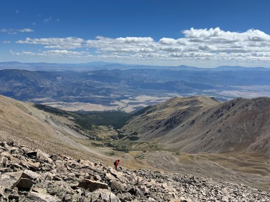
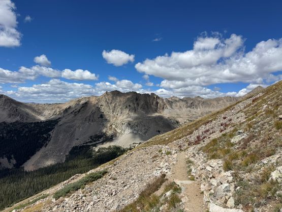
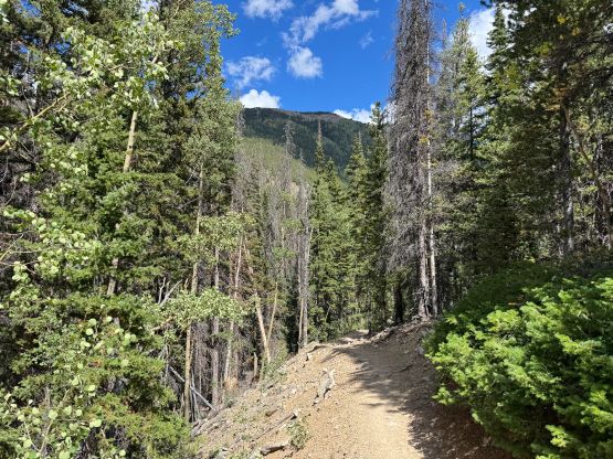
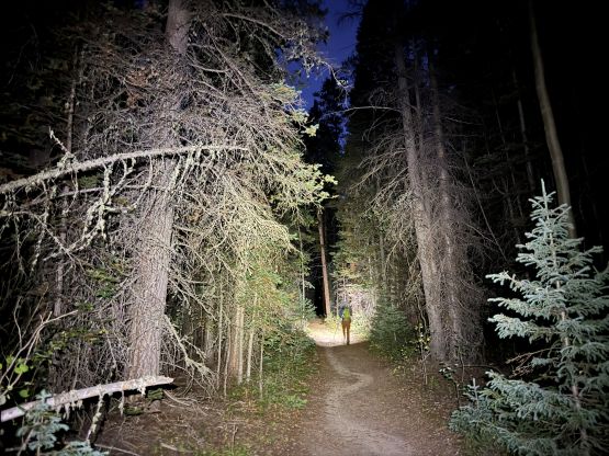
I got up at around 5:30 am and started about half an hour later. About 2 km into the plodding I caught up to a solo hiker, and due to the bear concern we decided to hike together for the rest of the approach. I could not remember his name but he’s from Denver and was only going after Mt. Columbia. The head-lamps were turned off shortly after and the approach was very boring. There’s nothing worth noting. After parting ways I resumed my own plodding into the head of this valley and to my surprise I was actually the first person going for Mt. Harvard on this day. I thought the Colorado locals absolutely LOVE their predawn starts but perhaps I’m not exactly correct. I filled up the water bottles at a foot bridge but could have waited for a little bit longer, but I wasn’t sure about the water source situation higher up. Passing the turn-off towards Bear Lake I was finally in the alpine zone. The view gradually opened up with Mt. Yale dominating from behind. I was able to stay on the path/trail for 99% of the way up but the last 10 vertical meters required a few scrambling moves on boulders. I caught some sporadic cell reception on the summit but it was too cold and windy to linger. I was only able to take 10 pictures before my fingers went numb.
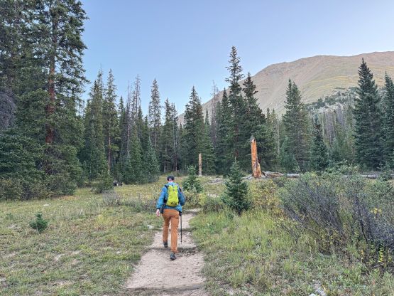
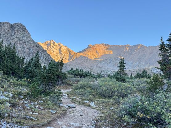
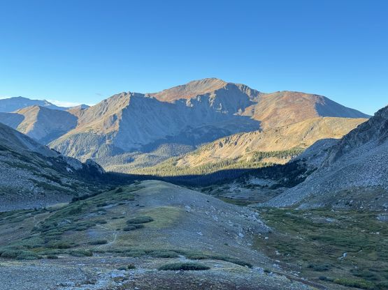
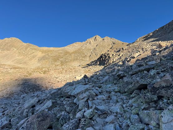
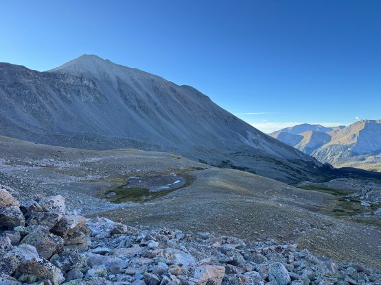
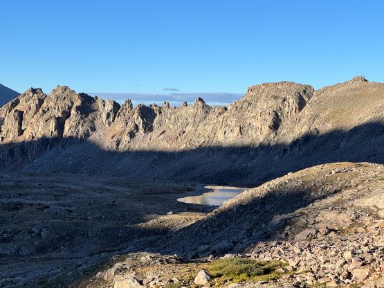
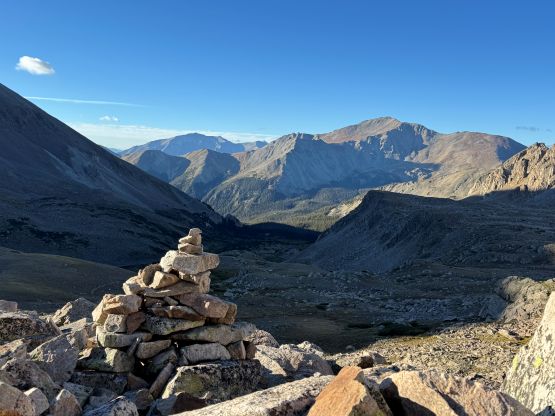
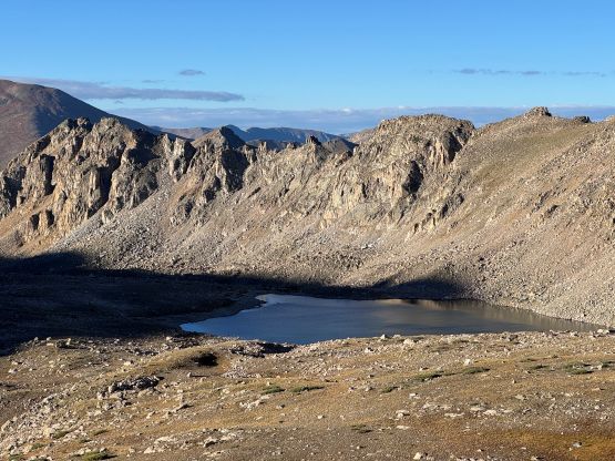
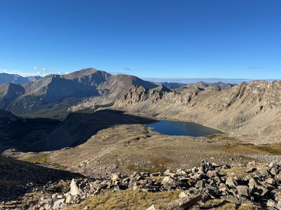
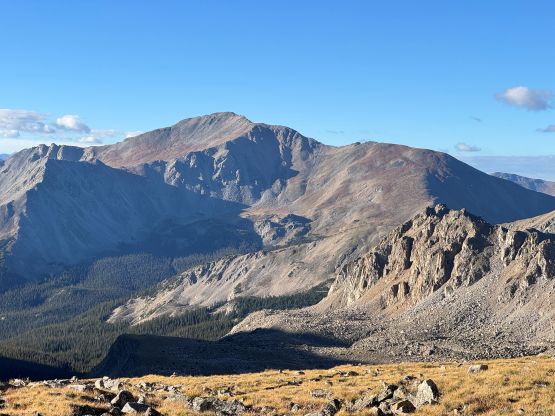
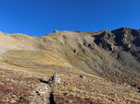
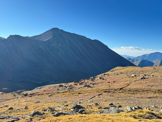
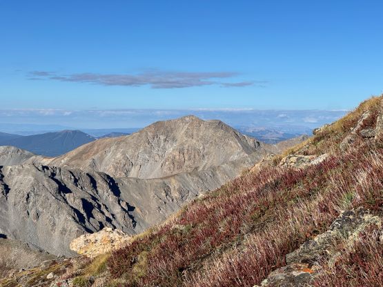
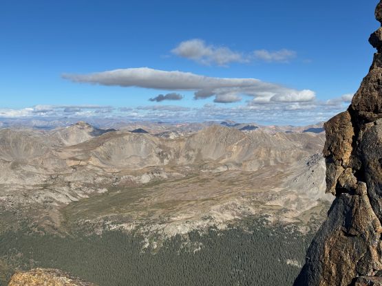
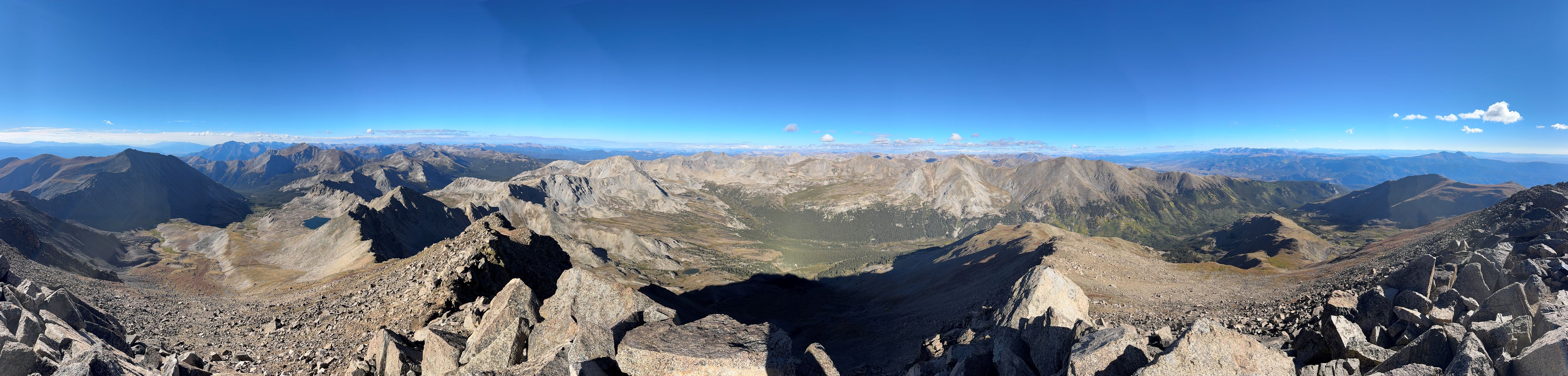
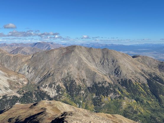
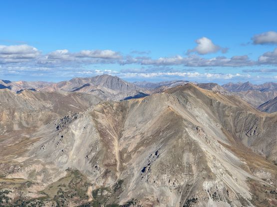
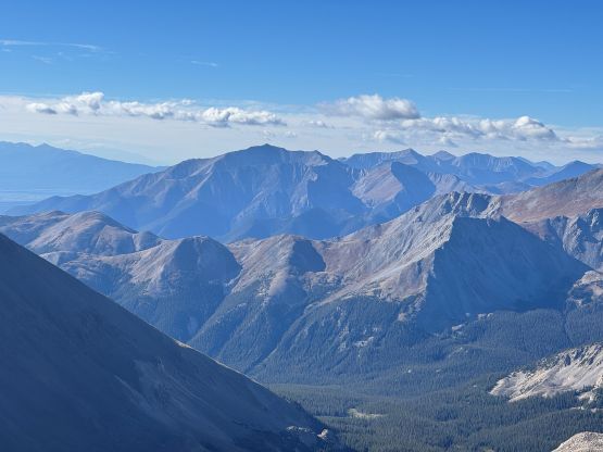
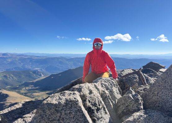
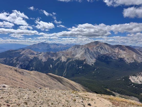
Up to this point I was mostly taking my time (3 hours 20 minutes up Mt. Harvard), but then I decided to speed things up a bit on the traverse. Part of the reason was that the traverse looked rather boring, and it sure was. Descending the SE Ridge of Mt. Harvard I started with boulder-hopping but picked up a path later on. The path brought me down into the basin east of Harvard/Columbia saddle and it was here that the going became tedious. I knew it was going to be bad given the reputation of this route so it was actually not as terrible as expected. Almost the entire 2-km stretch was hopping on boulders but most of the boulders were actually stable. I was able to make quick progress. There were also several stretches with a path but the path wasn’t always there. Eventually I exited the boulders mess and slowly worked my way up onto the NW Ridge of Mt. Columbia where I got hammered by the cold winds again. I encountered two hikers doing the traverse in the opposite direction and I thought their timing was quite late given the risks of thunderstorms later in the day, but it seemed like the weather would hold for the next few hours at least. After another while of dragging I was on the summit of Mt. Columbia and joined another horde of hikers from Alabama vicinity.
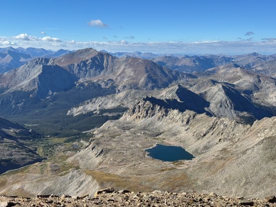
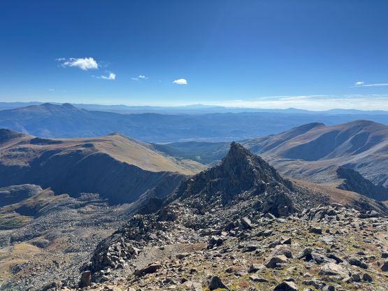
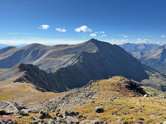
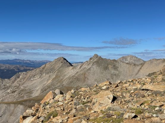
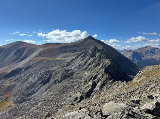
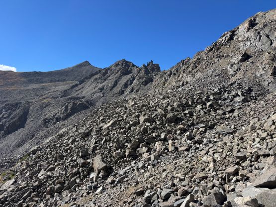
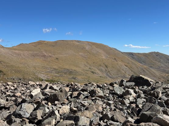
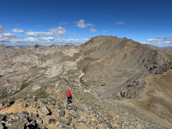
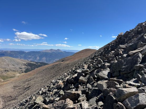
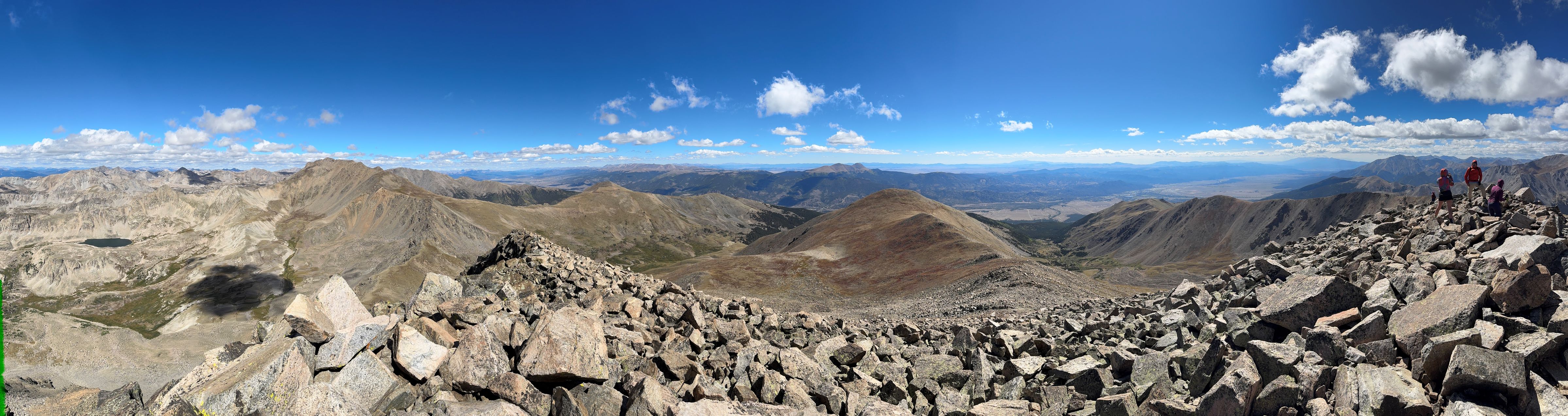
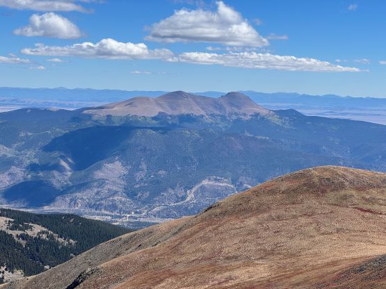
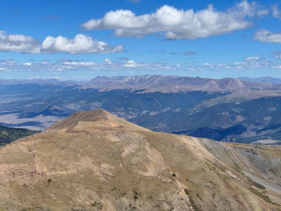
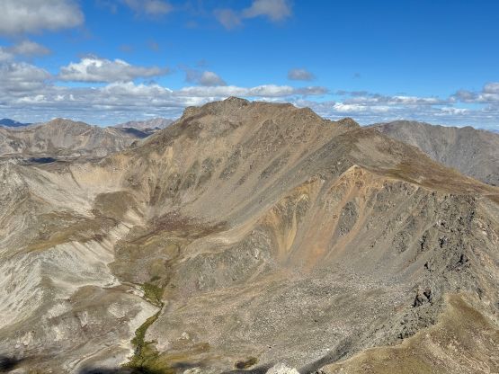
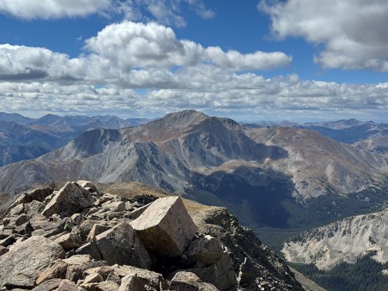
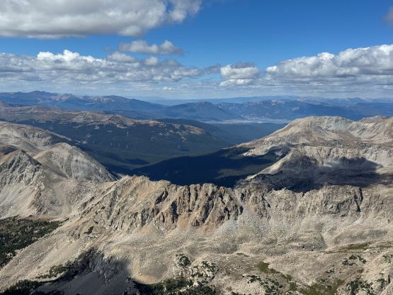
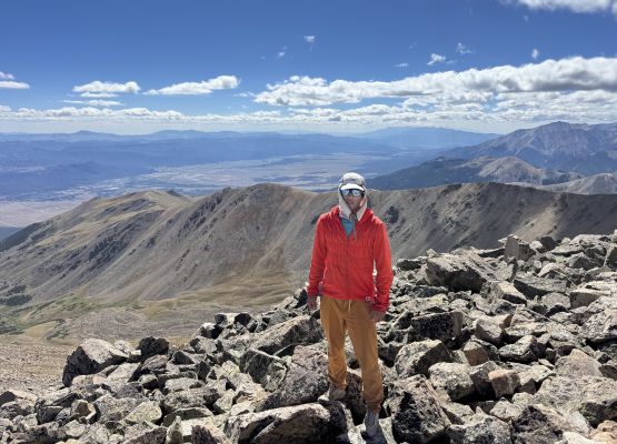
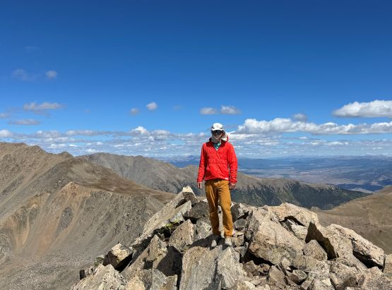
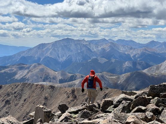
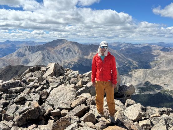
It was obvious that I wouldn’t be descending at the same pace as everyone else so after a long break on the summit celebrating the success I took off on my own, dashing down the south ridge of Mt. Columbia in no time. There’s minor up-and-downs on this ridge but eventually I picked up the trail descending the SW flanks. The trail was nowhere “loose” as advertised and in fact, I thought it’s well engineered. I didn’t bother to do any short-cutting and still got my asses back down into the valley with minimal effort. The rest of the return was very boring and tedious and honestly I agreed with everyone else, that these peaks are a slog. If not because of the names I wouldn’t be bothering with them, at least not until I’m about to finish the 14ers, if I ever want to. The distance was about 25 km and the cumulative elevation gain was close to 1800 m, and my round trip time was just over 8 hours. The objective for the rest of this day was to find a spot to car-camp in the vicinity of Denver since I was about to pick Clair up from the airport on the next day. I eventually decided on the trail-head for Saddleback Mtn., but since I was already there I might as well tag it as a bonus peak.