Mount Fullerton
June 7, 2012
2728m
Kananaskis – Elbow Area, AB
This past Thursday was probably the only reasonable day for scrambling in this week… We got downpour and downpour. It’s a weekday, so I went to the Rockies by myself. I think Canadian Rockies is becoming a wet mountain range. The snow fall broke the record already, and rain fall is going to… Bow River has already flooded, and Elbow River is on the verge. Crossing any river will be a suicide thing at this point… My original objective was just Mt. Fullerton taking advantage of the recent condition update by Marko Stavric on ClubTread but as the day progressed I gradually increased my ambition to something more substantial.

Mt. Fullerton, Nihahi Ridge and Compression Ridge scramble route link-up
The first few kilometers along Little Elbow trail was very wide and was once a drivable road (would be an enjoyable bike ride). At the junction of Nihahi Creek trail I turned right. The trail started by entering the forest and ascending a steep hill on switchbacks. Follow the trail and it will eventually lead you back down to the creek bed. From here, the boring part began as I slowly and gradually plodded up the dry creek bed. In about an hour I was on the junction where the main creek bed turns sharply left. From here I kept following the main creek for another 500 m until reaching a small drainage on looker’s left.
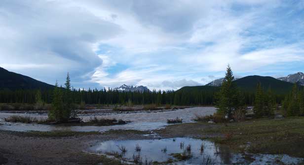
At Little Elbow parking lot. It was partly cloudy in the morning.
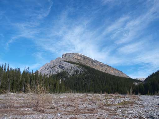
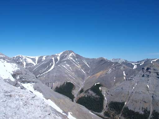
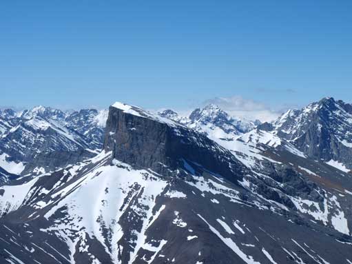
This is the typical view during the boring approach. This peak is actually an outlier of Mt. Howard
There were two options here – ascending the drainage or bushwhacking directly up. When I go solo, I tend to avoid bushwhacking as much as possible (due to the fact of not owning a GPS and my fear of bear encounters), so I chose the drainage route. The drainage led me into an alpine bowl and from there I contoured around treeline to the correct NE ridge. The ridge started with mostly easy and fun hiking/scrambling. There was some moderate sections but avoidable if you want to skirt around on rubble/snow slope on the left side. The only unavoidable “moderate scrambling” section was near the summit where the ridge crest turns left.
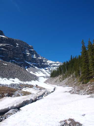
Going up the snow-bound gully

Made to the upper bowl. The route follows the right side skyline ridge.
On the ridge, looking up
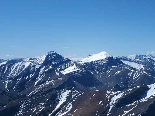
Mount Howard
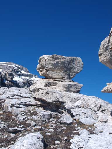
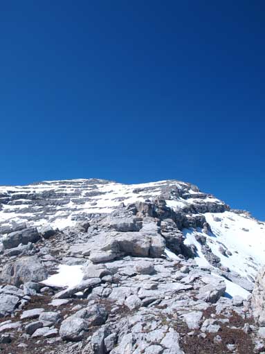
Interesting rocks on the ridge
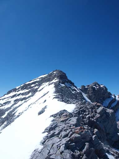
Near the moderate section.
Despite the long approach, the summit view is great. Mount Romulus looks impressive, so does Fisher Peak. Towards south are Mounts Glasgow and Cornwall, part of the Elbow Big-4-Traverse. Towards east is the long long Nihahi & Compression Ridge, with Moose Mountain points out in the distance. The register was deeply buried at the bottom of summit cairn. It took me a while to find out where it was. There weren’t many entries, but I’m glad to find familiar names from ClubTread forum.
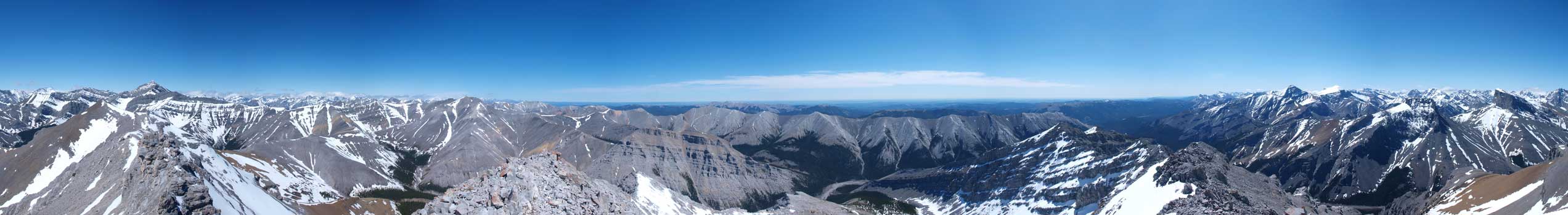
Summit Panorama. Click to view large size.
Mount Romulus

Mount Remus looks small from here.
Mt. Glasgow and Mt. Cornwall
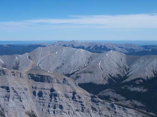
Compression Ridge

Fisher Peak
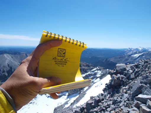
The register
I only stayed about 15 min on the summit of Mt. Fullerton. At noon, the snow got isothermal so I thought the gully route wasn’t a good choice for descending. I descended directly down while bushwhacking, but only found out there was more forest isothermal snow in the trees… No way,…, I got out of the forest as soon as I could and descent the same drainage route. At the bottom of the drainage, I re-filled water.
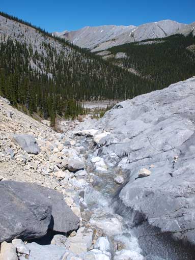
Going down the drainage. I refilled water here.
From Mt. Fullerton, the west slope of Nihahi Ridge looked very doable. You basically follow any of those gullies and directly aim for the ridge crest. Since I had time and energy, I thought I could give Nihahi Ridge a shot.
