Mount Seton
October 18, 2015
2859m
Downton Creek / Duffey Lake Road, BC
Although the status of this name is unofficial, Mt. Seton is the highest peak in the entire Cayoosh Range that occupies a huge area north of the Duffey Lake Road from Pemberton to Lillooet. A few weeks ago I saw it for the first time from Phelix Creek area (Cadwallader Range) to the west, and soon enough it’s become a peak that I’d wish to ascend sooner than later after realizing how big it actually is (by either size, elevation or prominence). The weather forecast wasn’t the greatest – “a mix of sun and clouds” that could easily go either way. But knowing this upcoming ascent would be my 100th peak in this year I needed something “more interesting”, and Mt. Seton seemed to fit the quest.
My inspiration mostly came from Alex and Dean’s trip last weekend. They did a traverse from Skimka Peak to the main summit and then bailed down the north fork of Downton Creek which has a good trail to exit. Downton Creek drainage is a big one with more than a dozen named summits. I had never visited any of those and after some mapping I figured it makes more sense to combine Skimka with the peaks further south (Linus et al.) in the same trip (middle fork of Downton Creek), and do Mt. Seton, up and over Saddlebag Peak and then traverse to Modal Peak this time. By this way I would finish off the N. Fork of Downton Creek so I no longer needed to come back.
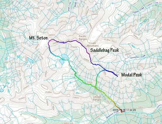
Mt. Seton, Saddlebag Peak, Modal Peak traverse. GPX DL
One annoying thing for this area is the drive – the entire Highway 99 is super winding and sometimes steep especially for the part right after Pemberton. Speeding on those tight corners is not something I’m comfortable with and it took me almost 4 hours to cover the 260 km distance from home to the Downton Creek FSR about 20 km before Lillooet along Duffey Lake Road. Good thing I did it as a car-camping trip. Leaving home at roughly 8 pm Saturday evening I was on my way up the logging road by midnight. This road, though narrow and steep at places, was in a good 2WD shape and 9.4 km later I finally finished the tiring drive, then it’s time to sleep.
The next morning I woke up at 7:30 am under overcast sky with low clouds obscuring the peaks, and by 8 am I was on my way up the trail along north fork of Downton Creek. The trail was surprisingly well-marked by hundreds of flaggings and it’s almost impossible to get lost. It initially goes up the left side cut blocks to the end then traverses back into the drainage. There are a few places that the trail traversed through some boulder fields but even those sections were well marked by cairns. The only confusing spot was a wet section at roughly 2 km up. I made a mistake of crossing the creek but soon realized it and got back on track. Further up after the main creek forks into two the trail does cross one of them and then ascends the thinning forest. Into the sub-alpine I eventually lost the trail but then just picked my way up a steep foreshortened grassy gully, and then after traversing some open grassy plateau I arrived at Saddlebag Lakes immediately below my objective (2.5 hours from the start). The summit of Mt. Seton was engulfed and I took a break at the far end of these lakes.
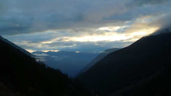
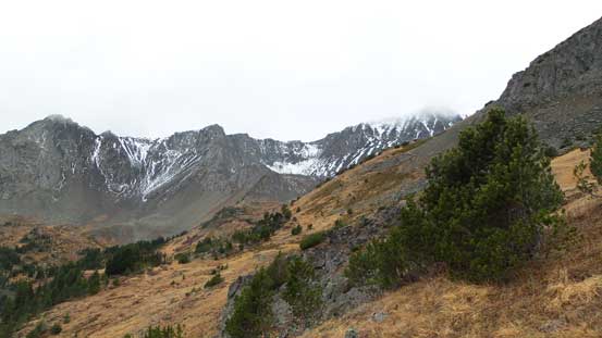
Some morning colours
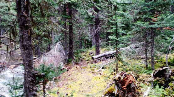
This trail is relatively well maintained and marked
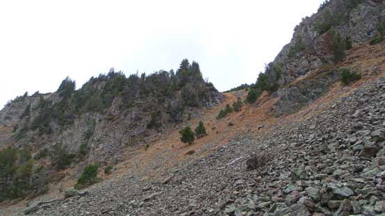
A look at the steep gully that I ascended after leaving the trail
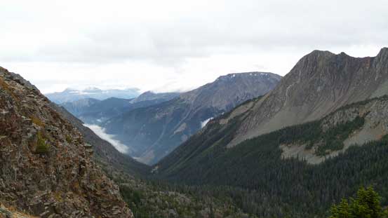
Some fall colours in this bowl
Looking back at the way I came up
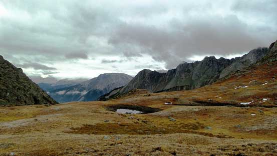
Arriving at this grassy plateau
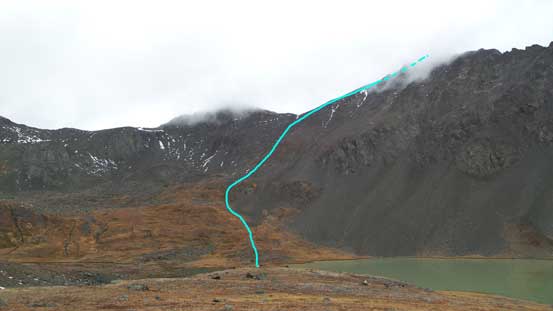
The route up Mt. Seton is shown
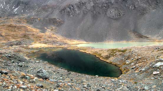
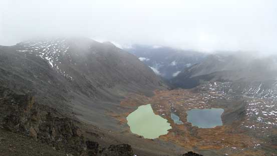
Saddlebag Lakes showing some very different colours
One of the Saddlebag Lakes with Trilateral Peak (Seton S2) behind
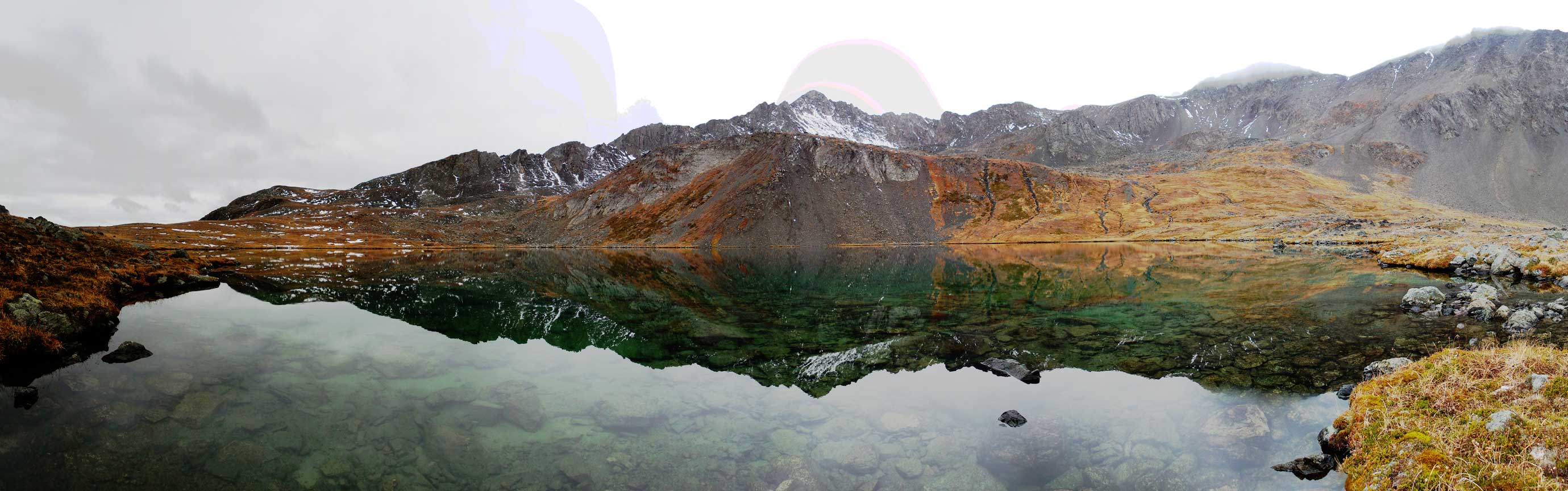
Panorama of Saddlebag Lakes. Click to view large size.
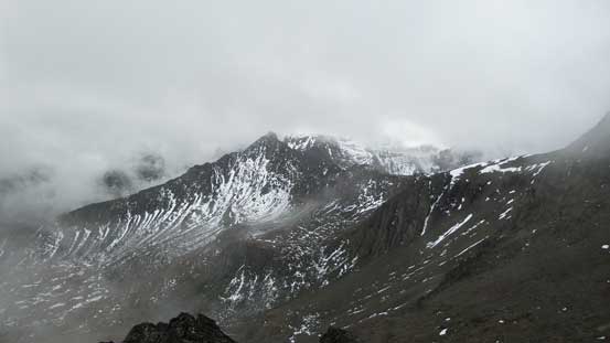
From the lakes to the summit was nothing more than a long plod (600+ meters of elevation gain). I basically went straight up but trending a bit to the right higher up. I utilized solid rock for as much as I could and in between those rock ribs were some treadmill scree… About halfway up I entered the cloud layer and then the rest of the ascent was done in a white-out. Higher up I pulled my GPS out to correctly locate where the true apex was as there seemed to have a bit of plateau to the left. I turned right and after another section of foreshortened slog I eventually made to the top. Unfortunately the weather would only get worse and now there’s some light drizzle coming down…

The only blue sky I saw for the next few hours…

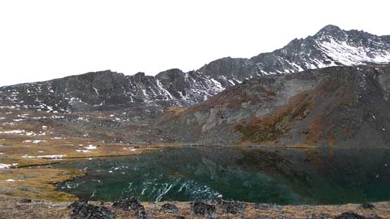
Another shot showing Saddlebag Lakes with very different colours.
Finally got higher than Trilateral Peak and Skimka Peak (behind)
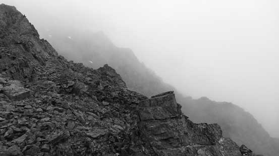
Upwards into the mist….
The last view before completely in the clouds
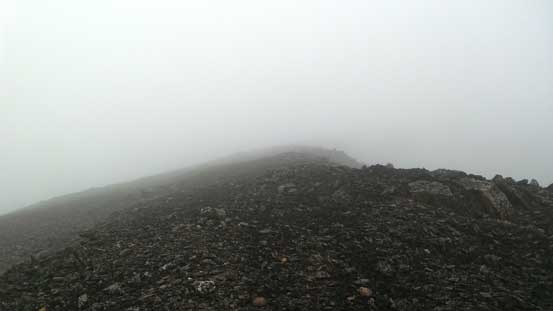
Am there yet?!
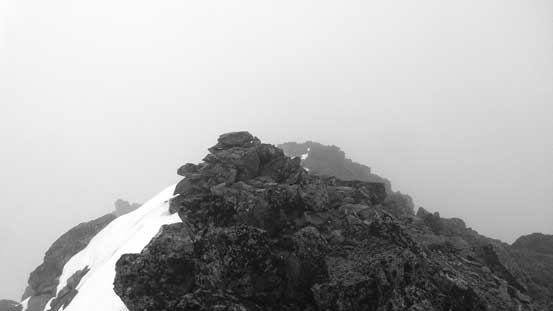
Finally made to the top
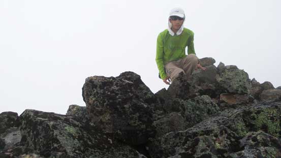
Me on the summit of Mt. Seton
Now should I resume the direct traverse or come back down the same way to the lakes followed by re-ascending (scree bashing) to Saddlebag Peak? The latter option would no doubt be the most secure way despite the tremendous amount of height loss, but probably because of the shitty weather I felt like I had to make some exploration to make the long drive worth… The trip continues with an ascent of Saddlebag Peak and then Modal Peak.
