Empetrum Peak
November 3, 2015
1985m
Garibaldi Provincial Park, BC
After a warm and dry October the first significant snowfall eventually arrived dumping 30+ cm of the white stuffs to the SW BC’s alpine. This Tuesday had the most guaranteed good weather of the week and I was keen to get out. Checking the Whistler’s alpine webcams I figured if I wanted to go high, I probably had to haul snowshoes up. In the previous 3 years I always started the snowshoeing season in early November (Canoe, Elysium, Stargazer) and each of them has some of the most memorable views of that year. I was hoping this trend could continue and decided on Empetrum Peak – not really a prominent peak, but has some of the most unique views of The Black Tusk.
Empetrum Peak and Cinder Cone via Helm Creek. GPX DL
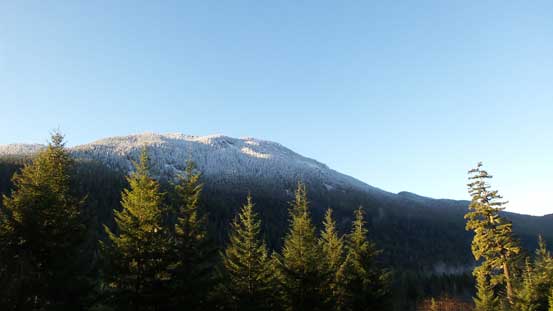
For some reasons this is probably the least sought after objective by Black Tusk area. The most logistic way to approach is via Helm Creek trail from Cheakamus Lake trail-head and even that the total distance would approach 30 km. Adding the nearby Cinder Cone to the agenda I knew it’s going to be a long and demanding day out, especially if there’s heavy duty trail-breaking involved. The time change sucks and I ended up not waking up early enough and by the time I started the hike there’s already sunshine on my face… Oh well… The first 2 km or so was a gentle hike down to the solid steel bridge crossing Cheakamus River, and then it’s a series of switch-backs up the forested slope (fairly steep). After what seemed like a long time I started to encounter snow and the grade eased off. The switch-backs were over but there’s still a long section of forested plod ahead. I was following a set of boot tracks and at elevation of 1400-1500 m the snow got deep enough for me to strap the snowshoes on. The boot tracks continued to one of the larger clearings leading to Cinder Flats and from there on I was on my own breaking trail.
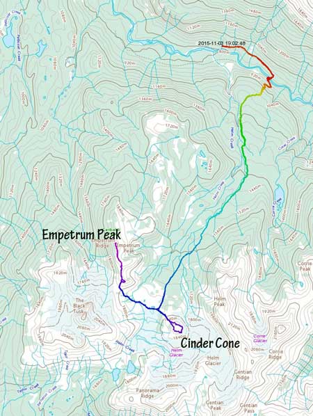
A view from the parking lot..
The bridge crossing Cheakamus River
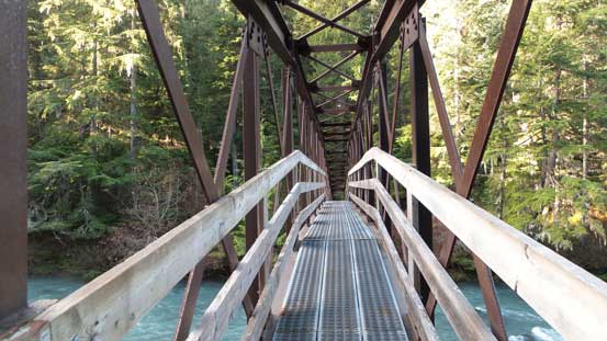
Cheakamus River is raging pretty fast even in November…
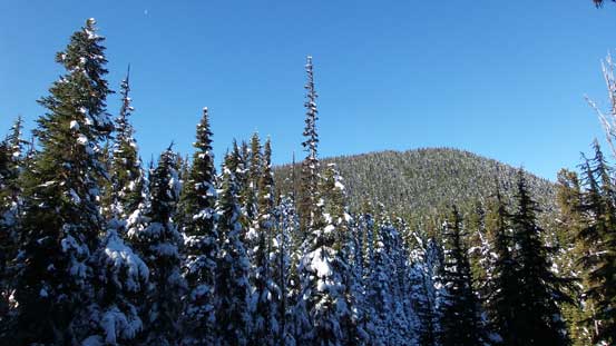
The forested slog was boring…

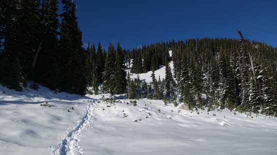
Enough snow for snowshoes now
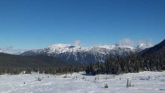
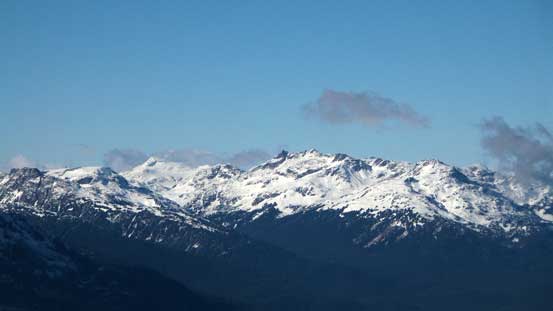
First view of The Black Tusk
The boot tracks stopped here.
Looking back from the same opening

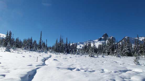
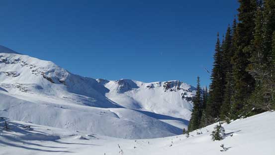
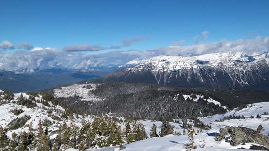
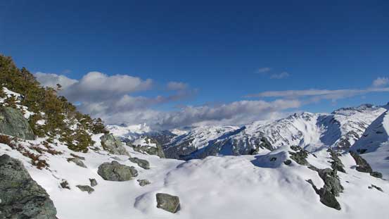
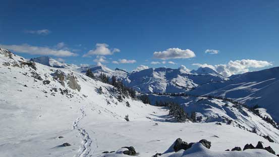
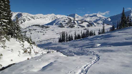
Sub-alpine terrain

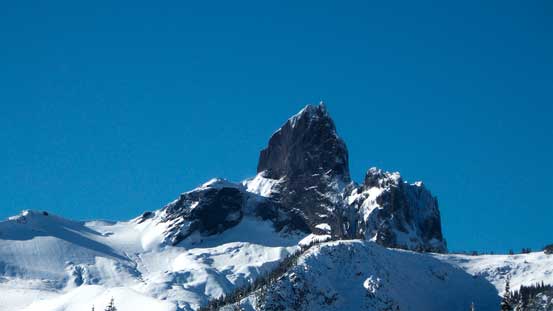
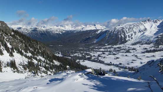
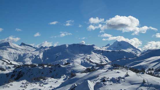
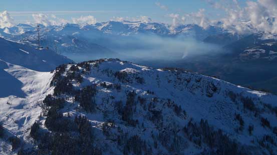
Here’s my objective. Route goes up from the far left

Another view of The Black Tusk.
The trail lead me to pretty much the base of Cinder Cone and looking across the flats towards Empetrum Peak it appeared that I’d have to lose some elevation. I was very tempted to bag Cinder Cone first but I could see some clouds building up to the north and not wanting to summit the main objective in a white-out I made a sharp turn to the right and onto the Flats. It wasn’t as long as appeared and the elevation loss was fairly minimal, but there was a somewhat tricky creek crossing involved. Not willing to take my boots off I boulder-hopped across while wearing snowshoes (the built-in crampons of these ‘shoes helped on traction). To gain the broad pass between Empetrum and Black Tusk there’s some trail-breaking involved but the view of Black Tusk kept improving.
Looking back I could see Whistler Mountain

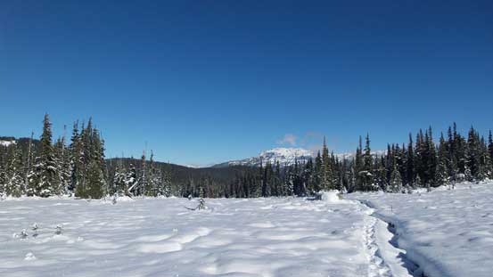
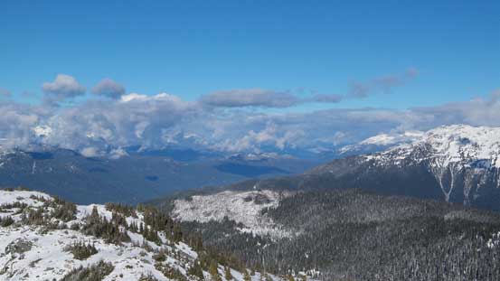
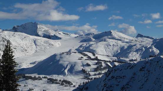
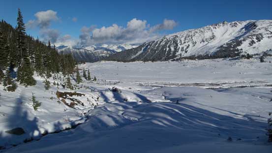
Ahead is the Cinder Flats
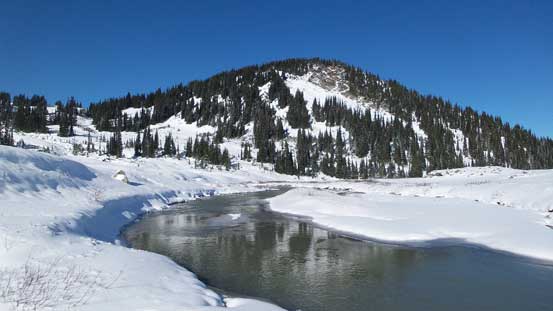
The creek and part of my objective
I boulder-hopped across this creek without taking the ‘shoes off
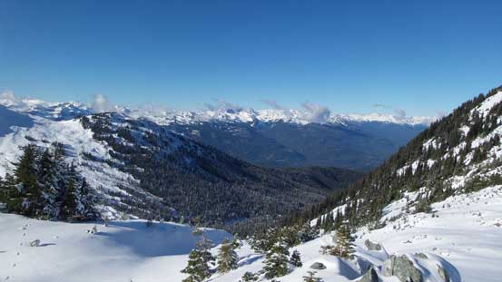
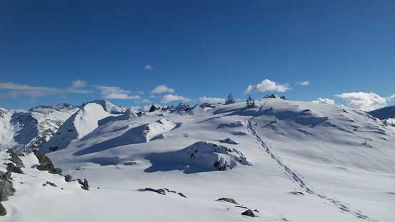
Typical scenery from Cinder Flats
Made to Black Tusk/Empetrum col now
I took a LOT of pictures of the Tusk on this day…..
From Empetrum/Black Tusk pass I turned right ascending a long and steep(ish) slope in the open forest. Higher up I traversed quite a bit towards climber’s right to bypass a bushy section but could have gone left (which I discovered later on the descent). After that it’s the first of the few false summits. Some elevation loss I was soon post-holing up another section of steep forested slope. I went climber’s left this time to avoid bushwhacking (some side-hill traversing) and soon enough it’s the second false summit.

Here I traversed a long ways to the right
Looking ahead.

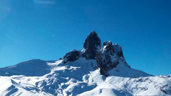
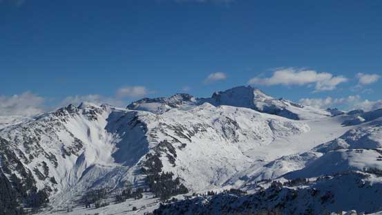
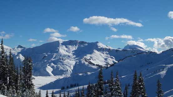
The Black Tusk
Still a long way to go..
Looking down the valley that I approached from. Fitzsimmons Range behind
The other side. Way down low is the valley Sea-to-Sky Highway travels through
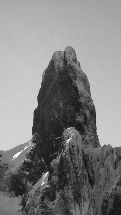
The Tusk is getting sharper and sharper
The true summit was still fair a bit of distance away but at least in sight now. The connecting ridge appeared to be fairly rocky so I ditched snowshoes but soon got punished by some waist-deep wallowing on the north-facing drifts. I went back to grab the ‘shoes and kept ’em on all the way to the final rise. Two minutes later I was standing beside the huge summit cairn with incredible views towards all directions. The view of The Black Tusk was a bit disappointing due to the sun being directly above it, but oh well, can’t ask for everything I guess…
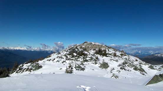
The true summit ahead
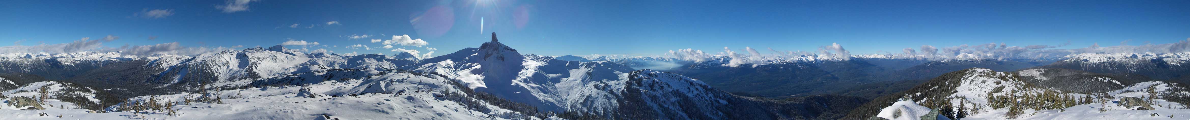
Summit Panorama. Click to view large size.
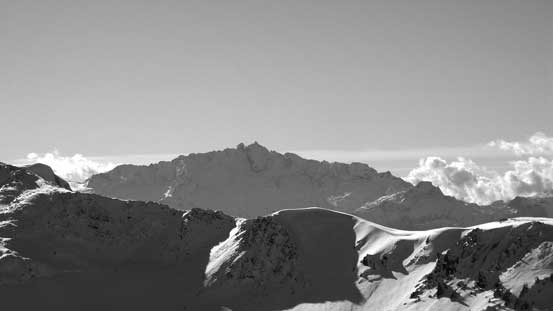
Mt. Tantalus
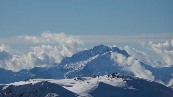
Pelion Mountain (part of Tantalus Range)

Surprisingly there’s fire burning. Mt. Jimmy Jimmy on left skyline

Some glaciated peaks showed up behind Tricouni Peak
Mt. Fee and Mt. Cayley are some of the hardest summits around here
Mt. Callaghan
Rainbow Mountain trying to show up through the clouds
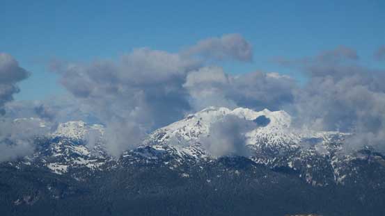
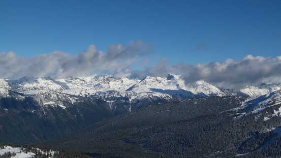
Weather was bad towards Pemberton
Fitzsimmons Range (part of Spearhead Traverse)
Mt. Garibaldi looms behind the shoulder of Panorama Ridge
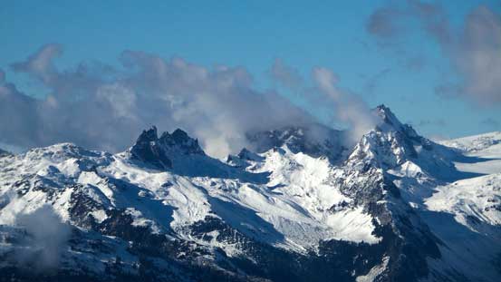
Castle Towers Mountain looms behind Helm Ridge
Another picture looking north. In the foreground is part of Empetrum Ridge
Drainage north of The Black Tusk
Another picture of the fire smoke

The Black Tusk

Me on the summit of Empetrum Peak
The descent went uneventful as I basically followed my tracks down. Floating down the soft powder was fast and fun and I made down to Cinder Flats in basically no time. I did stop fairly often though to take pictures as the deep blue crystal clear sky surely made some cool views.
Time to head down.
Retracing my tracks
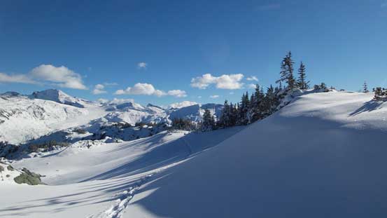
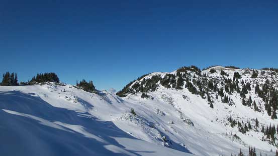
Pristine alpine terrain

Looking back…
Can’t get rid of the views
Cinder Cone in the foreground – my next objective
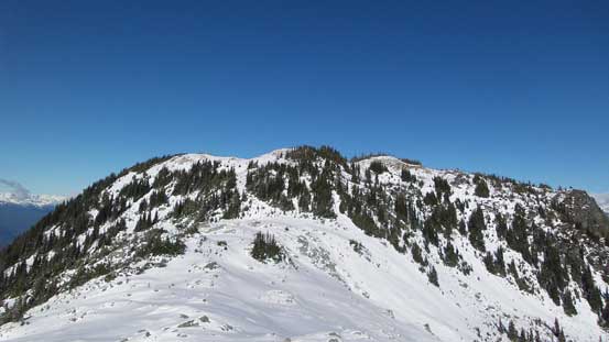
Panorama Ridge

Cinder Cone
Looking back at my tracks
More descending into the Cinder Flats
Onto the Flats now

Plodding across the Flats
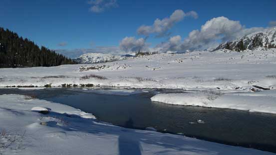
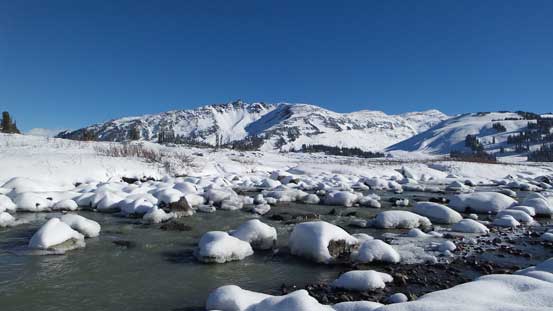
Here’s that creek

I re-crossed it further upstream on those boulders

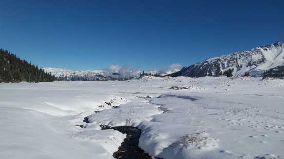
One last view of this creek. It’ll soon freeze over
The clouds that I observed earlier in the day weren’t really approaching and with still a few hours of daylight time it’d make perfect sense to venture up Cinder Cone as it’s ‘right there’. I weren’t quite expecting much from that lowly bump but it turned out to be quite a good vantage point.
