Tonic Peak
November 16, 2021
1803m
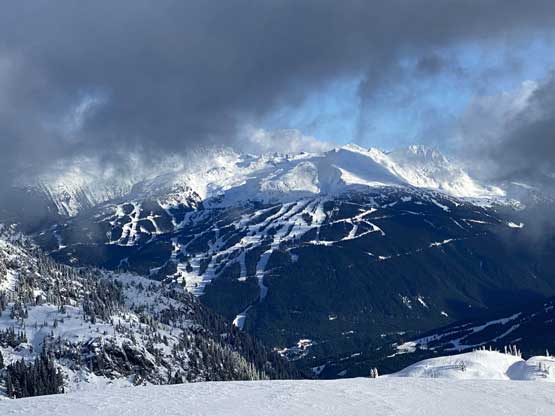
Whistler, BC
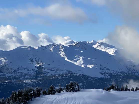
“Tonic Peak” is one of the smaller summits immediately to the west of Whistler village. The area can be accessed from either Callaghan Valley to the west or Rainbow Lake trail to the east and from either direction the road access is entirely paved. This group of peaks – Mt. Sproatt, “Tonic Peak” and “Gin Peak” are all popular winter objectives. Among the three “Tonic Peak” gets the least amount of attention simply because it’s the least interesting. I had done “Gin Peak” over 6 years ago and this time I would aim to bag the other two.
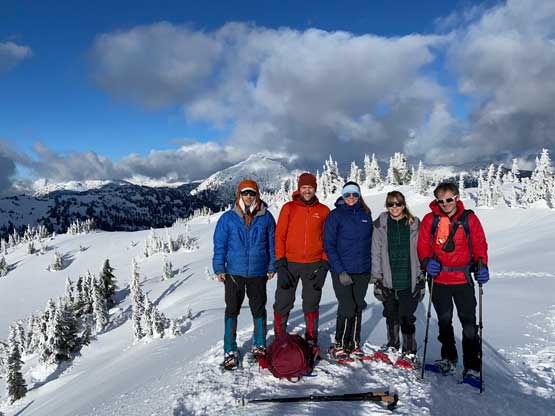
People might have wondered why I hadn’t done Mt. Sproatt and the answer is actually simple. Easy objectives with paved road accesses that are too far or long to be a before-work exercise will never be my “Plan A”. In this particular case I had thought about these two peaks for a number of years but they were always the Plan D or even E so they never ended up happening. This Tuesday, immediately after the once-in-a-century Atmospheric River event that had left Vancouver completely cut off from the rest of province by land, happened to be that particular case when we just had to settle on this “Plan D” thing. The only area that was still accessible was the Sea to Sky corridor and fearing the FSRs were all washed out or in high danger of being washed out, we also had to settle on paved-road access. The weather seemed to be gorgeous so in the end, Holly, Andrew, Ben, Elise and I formed a team to tackle these two no-brainer objectives. Holly volunteered to drive all of us in her SUV simply because her vehicle was the only one among ours capable to ferry all of us. We grouped in West Vancouver at 6 am and made to the trail-head in about two hours.

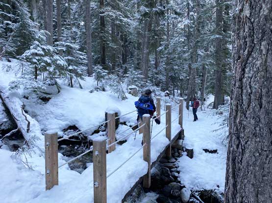
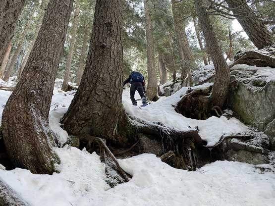
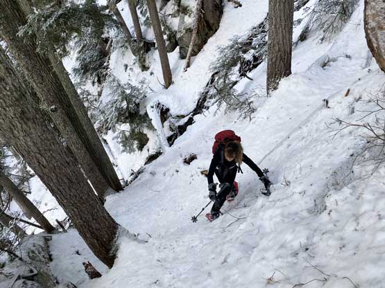
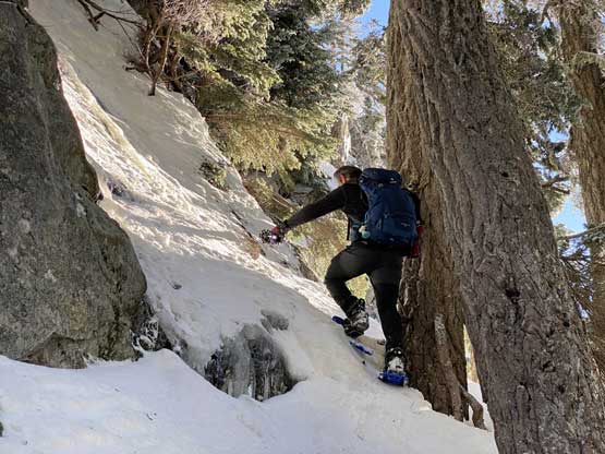
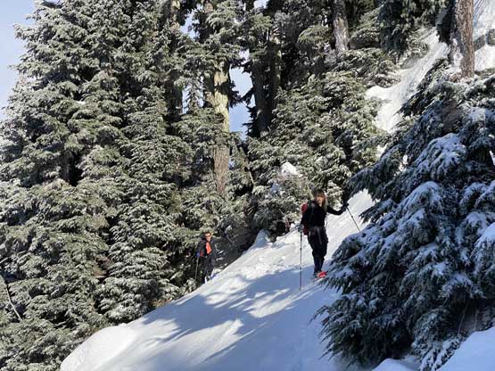
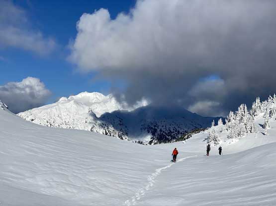
There are several variations in the route and after some brief discussion we opted to take the standard skier’s route, up through Tonic Creek valley towards Tonic/Sproatt col. The first section would be to plod up Rainbow Lake trail to just before the bridge crossing Tonic Creek. This section sounded easy but actually took a while as we had gained almost 500 m elevation. On the last few kilometers we were breaking trail in the fresh snow but the snow wasn’t deep enough to warrant the use of snowshoes. However, as soon as we left the trail we had to strap the snowshoes on. The snow condition in the forest was absolutely garbage from where we left the trail (1150 m) to around 1500 m. I thought the colder temperature in the previous night would have frozen the rain-saturated snowpack but that turned out only for the alpine zone. The snowpack was also quite shallow in the forest such that we constantly discovered waist deep weak spots. Right after leaving the trail we had to ascend a steep section with some 3rd class tree root scrambling to get into that Tonic Creek valley, and the next hour or two involved heinous trail-breaking. Ben was high on stoke and did most of the work. And because of the shallow snowpack we also had to do constant route-finding in the micro-terrain.


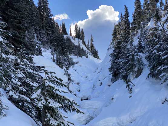
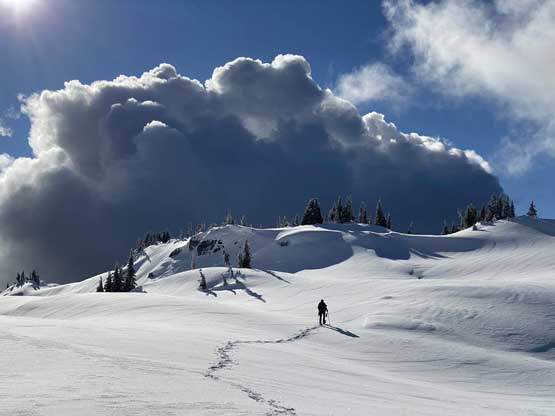
At about 1400 m we wrapped around a forested ridge and started ascending a bit too early. The result was that we got sucked into a small canyon with running water. In this early season conditions we could not ascend the middle of this creek so we were forced to ascend and traverse some steep terrain on the climber’s left side. The snowshoeing in this stretch was decently challenging. After a while we finally found a way to traverse (with about 30 m elevation loss) into the drainage once the terrain became mellow again.


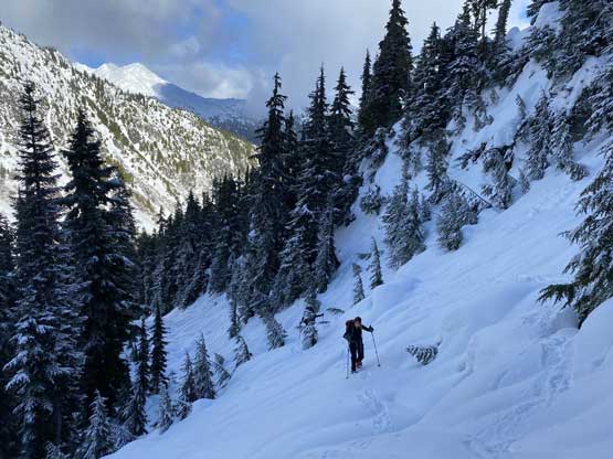
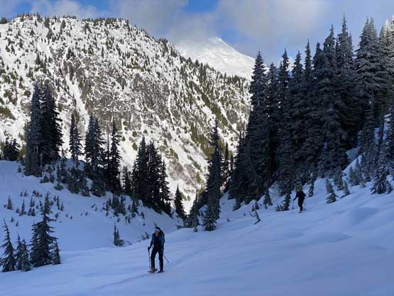
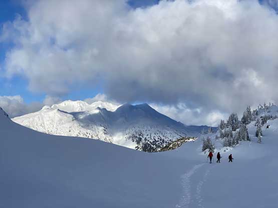
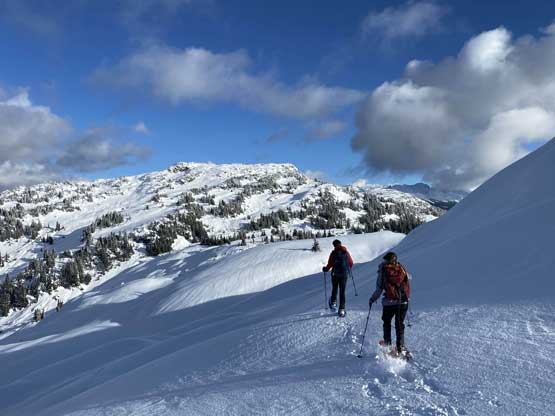
We searched and found a snow bridge to cross the main creek and then easily ascended onto the broad and undulating NE flanks of Tonic Peak. The ascent of Tonic Peak was not magic but tedious due to the never-ending micro-terrain. There were a few steep rolls and some elevation losses. To locate the summit we had to consult with the GPS screen multiple times and the summit was actually partially forested.


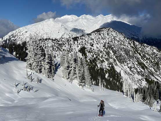


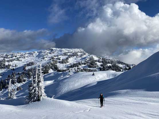


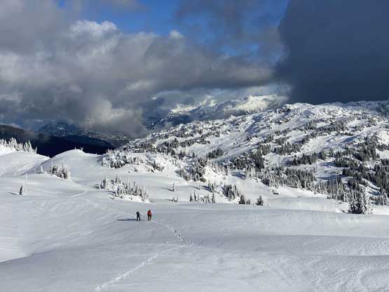


The summit was rather cold so we did not linger too long. We thought about descending into the bowl directly east of the summit but opted to just retrace our own steps back down the NE flanks of Tonic Peak until it made sense to descend directly towards Sproatt/Tonic col. From there we would continue towards Mt. Sproatt.