Pasadena Mountain
December 27, 2021
475m
Yuma, CA
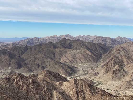
Pasadena Mountain in the southern part of Cargo Muchacho Mountains is another small summit in the vicinity of Yuma but on the west side of Colorado River in the state of California. This peak is slightly more interesting than Pilot Knob that Adam and I did earlier in the afternoon and offers more views and more elevation gain. The crux was the drive-in. All we knew was that someone had ascended the north canyon route starting from the dirt roads on the SW and west sides. The main pipeline road was in a great shape, but the spur roads we used were definitely not. After going north for about 1 km we turned east onto another road and followed for roughly another kilometer and parked. At times we were just driving on the desert floor and we eventually got stopped by a deep wash.

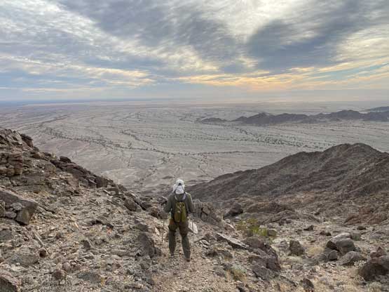
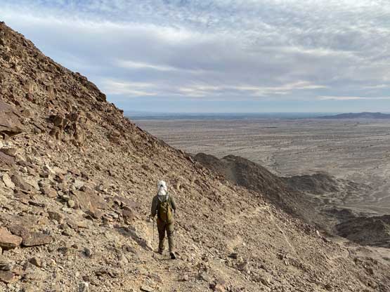
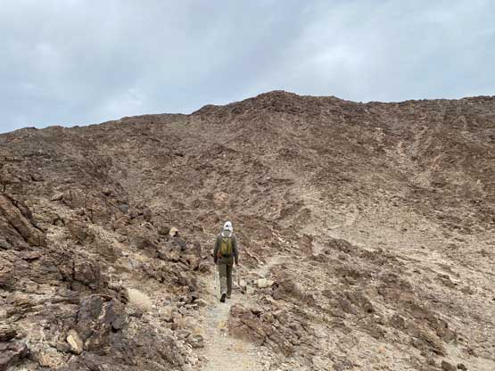
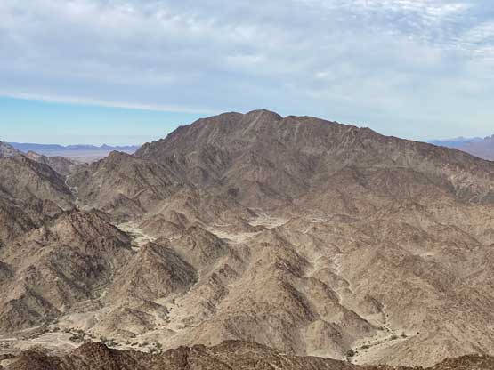
From where we parked we only had about 1 km of plod on the desert floor so it wasn’t too bad. While driving I noticed the south slopes had a trail and Adam agreed. We changed the plan to aim for that trail as we wanted the simplest way to tag this summit in order to conserve energy in the long run. The plod to the start of that trail was uneventful but we came across a much-better road and a camper van, which indicated that we did not find the easiest way to drive in. The trail was in an excellent shape making endless switchbacks on the south face of the south summit. Eventually we topped out near the south summit and found a cairn and a register. The register was placed literally at the end of this trail nowhere near any summit, so Adam took it and decided to bring to the true summit.


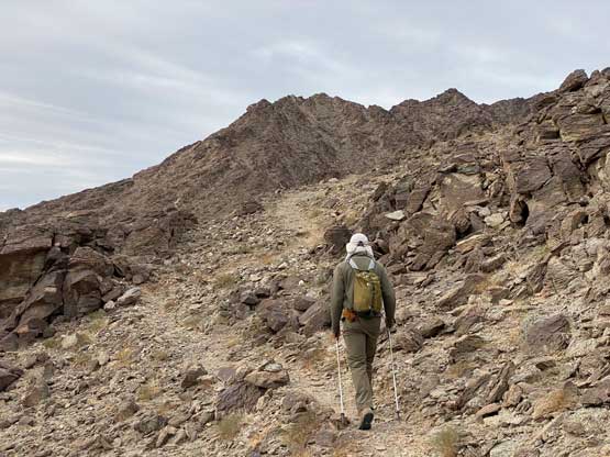

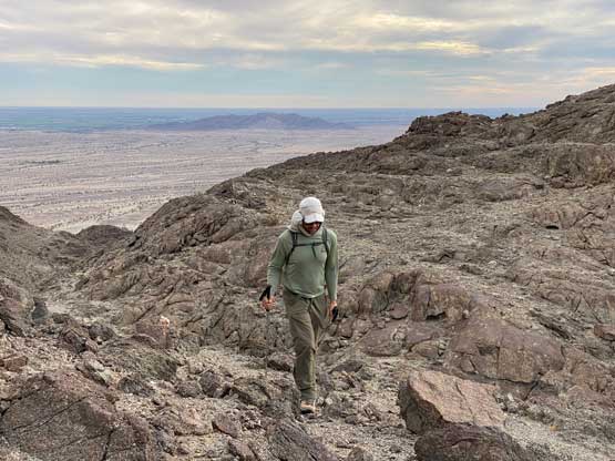
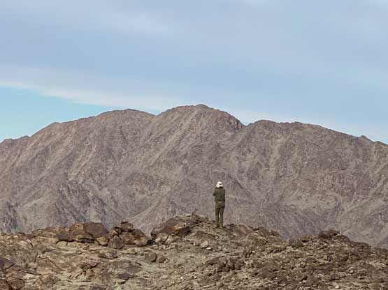
I thought the trail ended here but there was still game trails heading towards the direction we wanted. We did not bother to ascend that south summit by rather bypassed it on the east side on some wide ledges. The going was mostly cross-country travel with some boulder-hopping. At the south/true summits saddle we picked up the trail again and followed it to within 50 m from the true summit. We then scrambled straight up to the highest point and found another (proper) register. Adam left the other register also on the summit because we believed that only the summit of a mountain deserved to have a register.
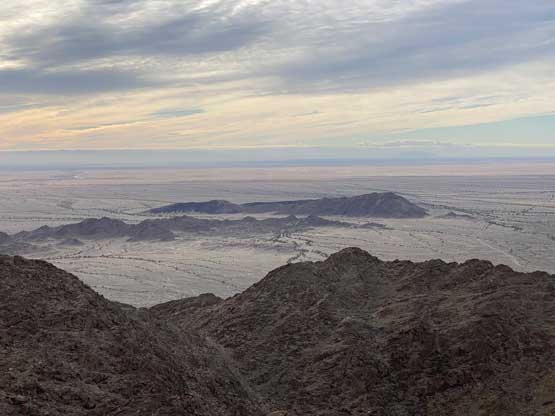

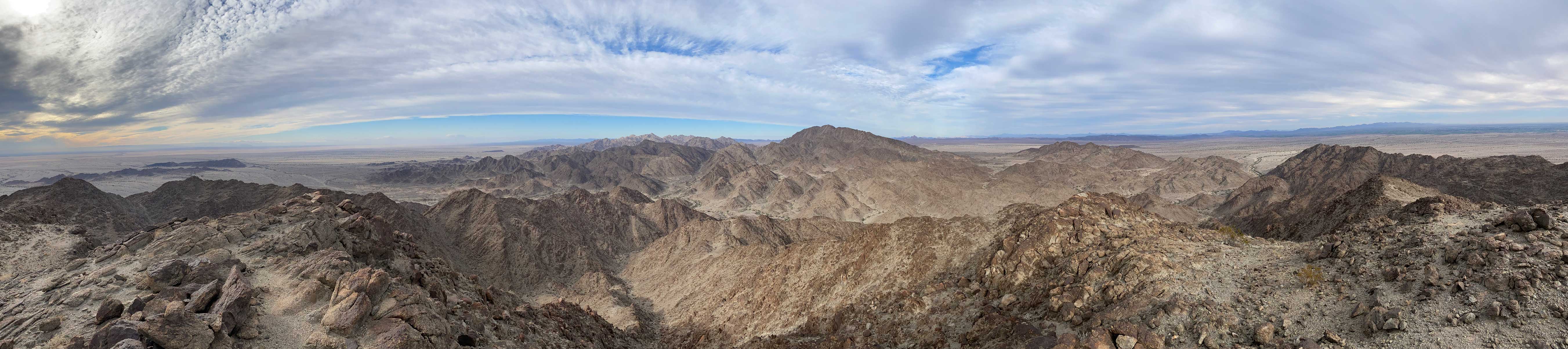
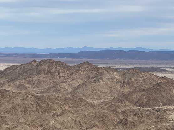
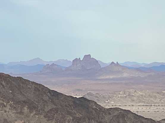

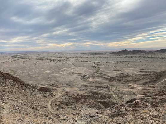
The views weren’t bad so we stayed on the summit for quite some time before descending. For the descent we just went back down the same way and eventually got back to the desert floor. That 1 km of plod at the end across the flat ground was a bit tedious. We realized there was still some daylight time to kill so the spontaneous decision was to hike the nearby Ogilby Hills High Point.