Mount Lolo
August 29, 2017
218m
Quadra Island, BC
Mt. Lolo is a mere forested pimple on the western edge of Quadra Island near Campbell River, British Columbia. This little bump has hardly any topographical significance such that a simple Google search returned literally zero information. There’s apparently a trail running on the south side of this peak to access Maude Island. Adam and I figured if using this trail as an approach we should be able to bushwhack up the south side fairly easily to reach this lowly summit. Earlier in this day we had already made a hike up Mt. Seymour. “Dumpster diving” at its finest!
Right off the bat we faced the first challenge as the access to this Maude Island trail wasn’t obvious. This is partly due to the lack of information but also because we had to drive a good stretch of logging roads to get there. Most of the junctions weren’t even signed and it’s obvious that some active logging was still going on so we were very confused. Thankfully I had my GPS handy so after a few guesses we did figure out the access. There’s a final spur road going down into a low point signed something like “private property and gate at the bottom”. We decided to ignore it (who knows) but then there’s indeed a gate at the bottom of this narrow road. The punishment was that we had to back up this entire stretch but Adam has some pretty good driving skills so not a big deal.
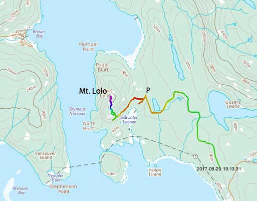
Mt. Lolo via south side. GPX DL
It’s worth mentioning that the official Maude Island trail starts a couple kilometers back but from where we parked it’s possible to take a short-cut. This was proved to be right as a mere couple hundred meters of bushwhacking shaved us at least 5 extra kilometers of walking. The bushwhacking wasn’t too bad although it wasn’t just a “walk in open forest” neither. Once onto the trail we had no problem following it to the south side of Mt. Lolo, taking every possible right-hand branch upon junctions. The plan was to leave this trail at the highest point but it’s very unclear where’s the exact highest point so once “making sense” we just bailed into the forest.
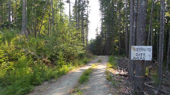
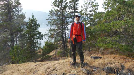
This is the start of this hike..
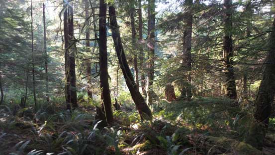
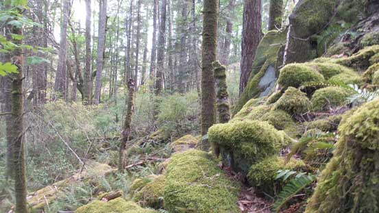
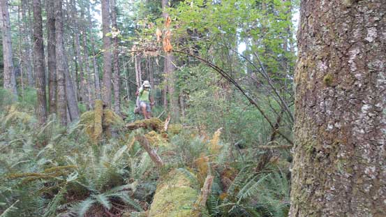
The initial bushwhack to get onto Maude Island trail
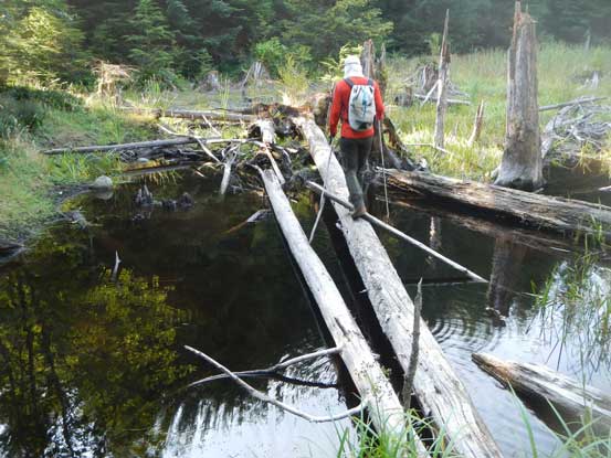
This log provides an easy pathway through a boggy section. Photo by Adam
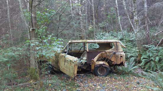
There’s an abandoned Jeep
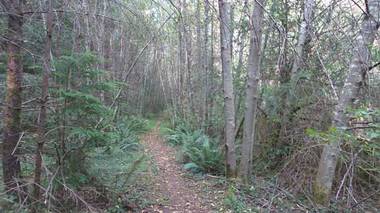
Maude Island trail. Pretty boring…

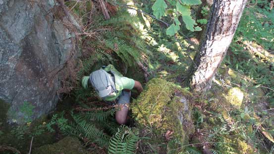
Now we left the trail. Pretty bad bushwhacking for a short while
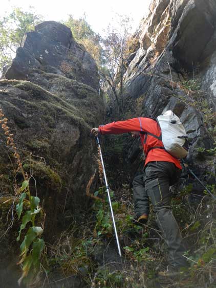
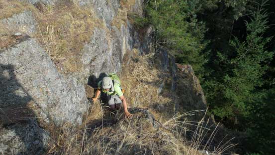
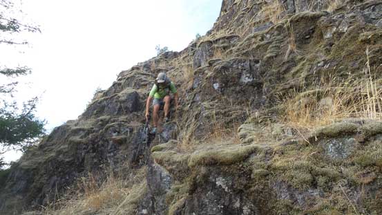
Right off the bat we faced some pretty serious bushwhacking with the plants taller than ourselves plus lots of dead-falls. Thankfully this stupid terrain was short-lived but then we came to the base of a series of bluffs. Initially it looked pretty challenging but upon close inspection we decided to actually give it a try. There’s one 4th class crux at the bottom but otherwise the scrambling does not exceed 3rd class, albeit with careful route-finding. Much of this scramble was done on mossy ledges and I actually quite enjoyed it. Pretty fun and satisfactory to find our own route up without using any existing beta. And then we easily traversed to the (forested) true summit.
Adam scrambling up the lower bluffs
Me just below the crux. Photo by Adam
Adam coming up out of the trees

A sideways view to show the steepness of these ledges and bluffs
Typical, typical.
It’s getting mellower now
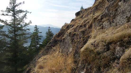
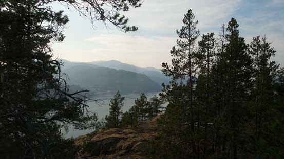
The top of these bluffs offer the best view actually
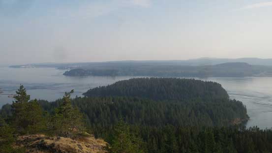
Maude Island in the foreground. It’s pretty boring looking…
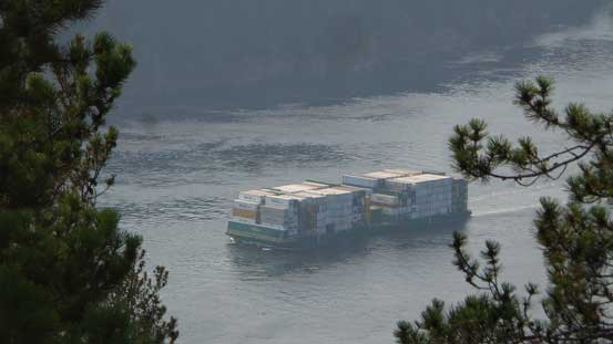
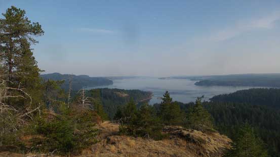
Vessels in Seymour Narrows
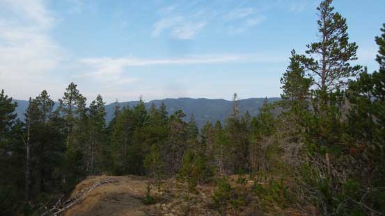
As you can see, the true summit is also pretty boring
There’s literally not much to see. This is looking NW
Me on the summit of Mt. Lolo
The summit gives a birdeye view of Seymour Narrows to the west. Judging by the amount of vessels passing through we could tell this is a pretty critical passage. After staying there for “long enough” we decided to go back while carefully reversing our route down those ledges. Down-climbing the bottom crux was a bit challenging but we both solved the problem without much of an issue, and then it’s that short, but dense bushwhack back to the trail. At this point we decided to check out Maude Island but ten minutes later we gave up. I was simply not motivated.
Adam working his way down the upper ledges
Finished the bluffs now
Bushwhack…
It was already pretty late in the day so we had to make some decisions. This island is much quieter than the main Vancouver Island for many reasons plus there weren’t that many mosquitoes around so we just pitched our tent on a random trail-head. The next morning we woke up whenever we wanted and then took the ferry ride back to Campbell River. After checking all kinds of forecasts we made the call to go home so there goes the second (much longer) ferry ride from Nanaimo to Tsawwassen terminal. And that’s the end of this fantastic island trip.
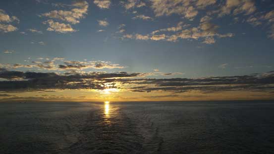
Ferry ride back to Tsawwassen. This is the end…
The original plan was resting a couple days and then making ascents of Whitecap Mountain and Mt. Truax near Gold Bridge, British Columbia but as typical as my fashion goes this likely wouldn’t go as planned… In this case the high pressure system strengthened so after checking all kinds of weather and condition reports and then talking to my Rockies friends, a spontaneous, last-minute decision was made to jack up the ambition. Whitecap and Truax could wait… And then there goes an ascent of Japanese Route of Mt. Alberta as my 45th Rockies 11,000er.
