Mount Herman
July 5, 2018
1921m
Mount Baker Highway, WA
Abong the half dozen summits immediately surrounding the Baker ski resort Mt. Herman is actually fairly prominent, but the status of this peak seems elusive and obscured. A quick search in various trip reports forums saw only a handful recorded ascents and the route beta is vague. This peak is well known to skiers but few ventures to the true summit. The best trip report available is Simon’s on ClubTread and the story of bush thrashing up the “SW Ridge/S. Ridge” doesn’t sound fun to me. The terrain on this peak is rugged enough that a winter ascent absolutely requires the most ideal condition that once it does happen I’m probably tackling more technical snow climbs. I also figured early July might be a reasonable time when snow still covers higher elevation making fast travel in the gullies.
This past Thursday saw a single day of high pressure ridge moving into SW BC and Washington state so by nature I would definitely get out. Al and Vlad were keen on something as well, but the problem is that for one we had to get back to Vancouver by the evening due to Al’s softball game and for two I didn’t want to do anything outrageously long because of some potential big trips coming up later in this month. I was debating whether we should make another lengthy drive down south in search for small, but scenic summits but opted to explore Mt. Baker area instead. I had Mt. Herman in mind for a couple years already and the 600 m net elevation gain would fit the game.

Mt. Herman via South Ridge. GPX DL
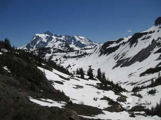
Vlad volunteered to drive and made good time up the Baker Highway sans a major accident delay on Highway 1 while getting out of Metro Vancouver. We didn’t opt for a super alpine start though so by the time we arrived at the trail-head the sun’s already beating down on full force. There’s snow right from the start so I had to wear mountaineering boots instead of the comfy trail-runners.. The ice axe and crampons were also packed and at this point we expected much of the ascent would be done on snow. Bagley Lake trail was 80% snow covered but popular enough that we had a well defined path to follow. Once passing that bridge connecting to Chain Lakes loop we were pretty much on our own. It’s difficult to follow the course of trails given the amount of snow coverage so at some point we opted to go straight up the valley aiming at the distant “Mazama col”.
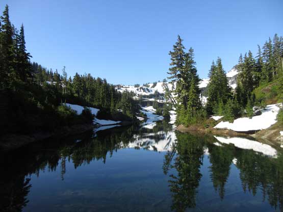
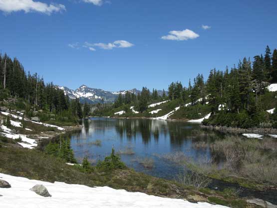
Bagley Lake in the morning. Note the reflection
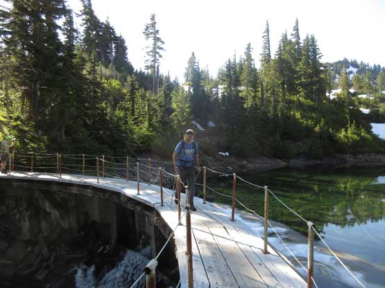
Vlad hiking across the bridge at the start
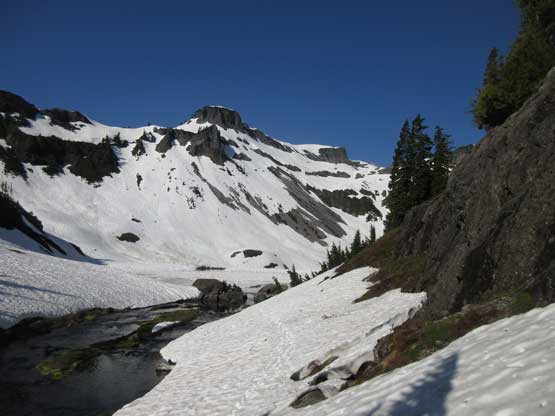
As you can see it’s still very early-season in this part of the state
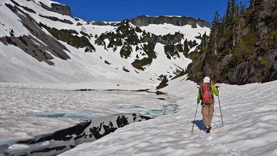
Me hiking beside the partly thawed lake. Photo by Alan Blair
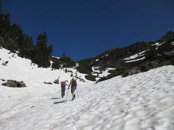
Al and Vlad hiking up snow. We decided to go straight up the valley
Almost at “Mazama col” now.
Al and Vlad had more ambitious plan to bag as many peaks as time allowed but I had to take extra care of myself. While watching Al and Vlad trudging up the east ridge of Mazama Dome I opted to sit that one out, slowly working my way into the “west gully” of Mt. Herman. Much of this section was traversing on snow and the shady aspect meant I had to don crampons. I only brought the aluminum crampons and they did the job perfectly. I never had to take the ice axe out because the slope’s not exposed and I liked the extra balance of the poles. The “west gully” was easy peasy and a lot less steep than I was expecting but the top 20 m was melted out revealing down-sloping and loose rocks. The transition involved a step-across over a scary moat and I also had to put weight on rocks while wearing aluminum crampons. Taking the ‘pons off was awkward but not unmanageable and after a bit of dirty 3rd class scrambling I soon reached the col on Mt. Herman’s south ridge. The south ridge itself appeared bone dry so I ditched the gears.

The north side of the col. The route traverses the snow slopes
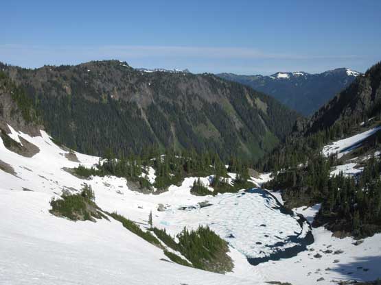
This is an unnamed (frozen) lake. Barometer Mountain behind
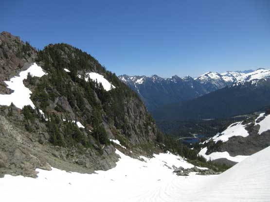
Looking back at Mazama Dome. I opted to skip it on this day
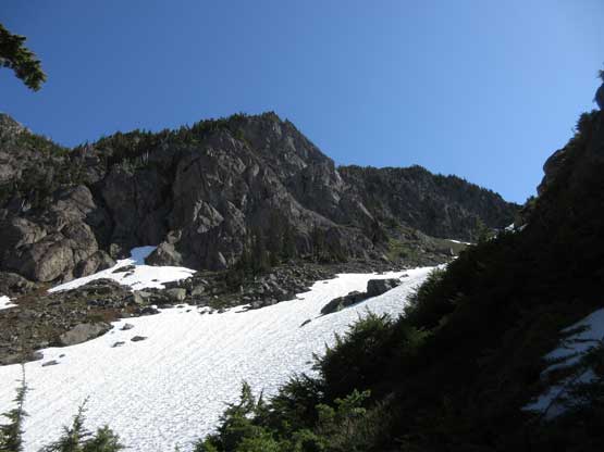
Almost merged into the “west valley” heading for the high col
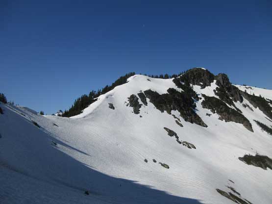
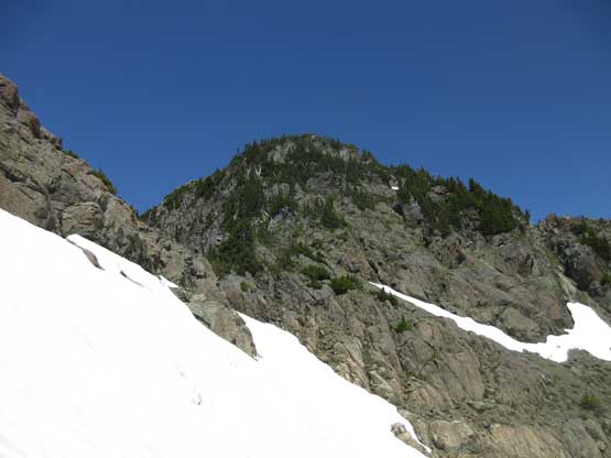
Arriving at the high col now. The south ridge looks dry and bushy
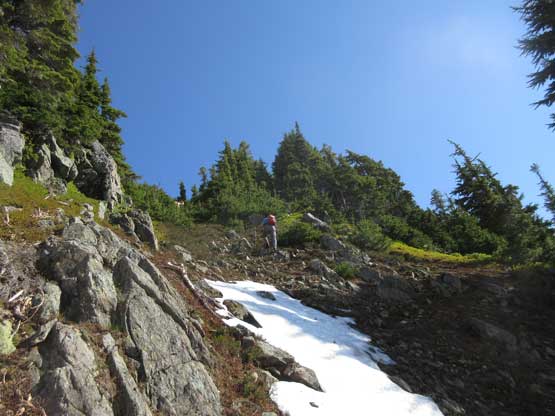
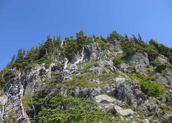
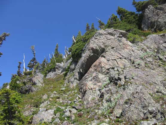
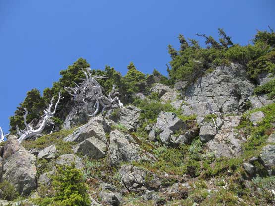
I was expecting some 3rd class trashing up bush along the south ridge but it’s surprisingly easy as long as I paid attention to micro-terrain. There’s one or two 3rd class moves on blocky steps but that’s it, and bushwhacking never took over as I always could find a path to work around. Before realizing I already arrived at the summit and after some obligatory photos I took a nap. Half an hour later the others showed up following the same route.

Looking down at the part where I left snow onto rocks
If you look closely you can see Vlad and Al just merging into the west valley
Partway up the south ridge. This is the typical terrain
Scrambling up. Nice and easy.
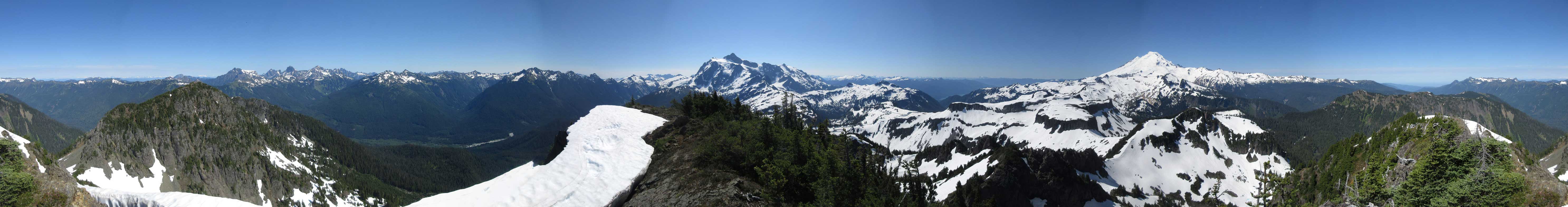
Summit Panorama from Mt. Herman. Click to view large size.

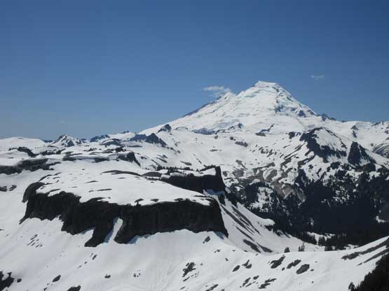
Ptarmigan Ridge area of Mt. Baker in full view.
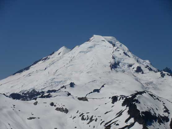
A closer-up shot of Mt. Baker
That dome-shaped peak is Mt. McGuire in BC
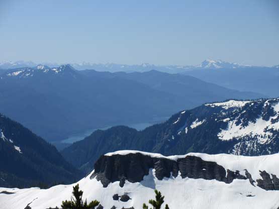
Baker Lake is visible and Whitehorse Mountain is also visible
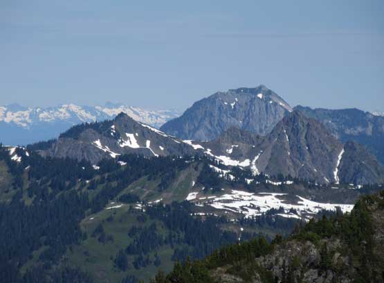
Slate Mountain doesn’t look inviting to me. Al and Vlad went to bag it nonetheless
This is a wide view of the valley we drove up from
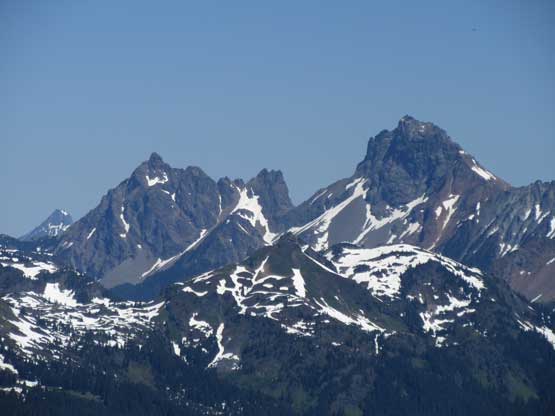
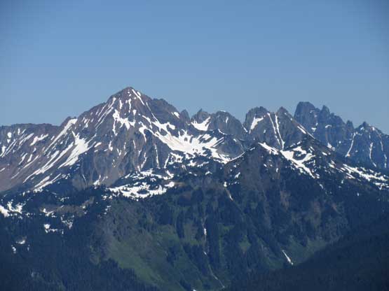
The Border Peaks in their full glory
Tomyhoi Peak
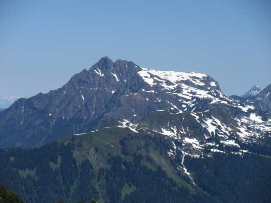
Mt. Larabee, The Pleiades and Slesse Mountain
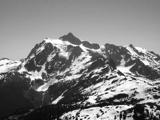
Mt. Shuksan in black-and-white mode
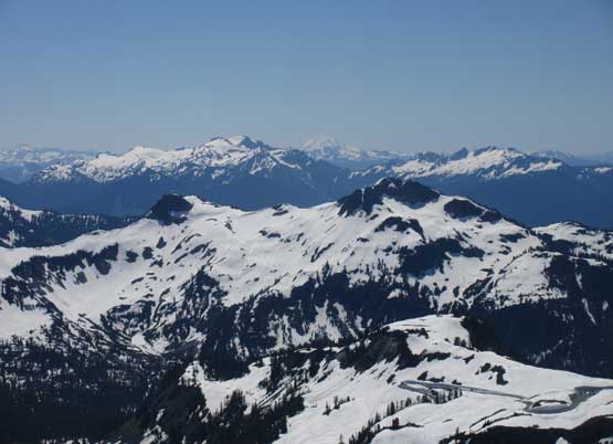
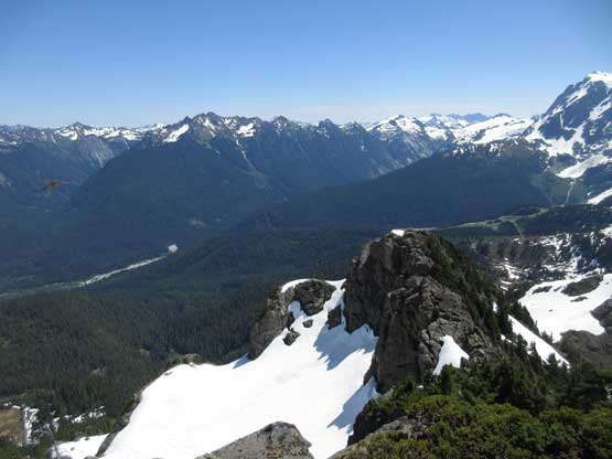
Looking over Mt. Ann towards Bacon Peak and other remote objectives
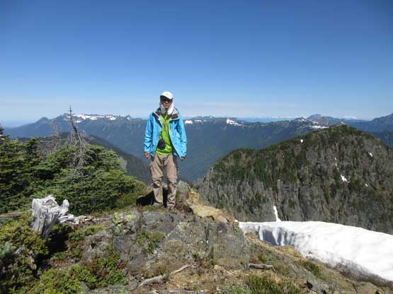
Me on the summit of Mt. Herman

Our group shot on Mt. Herman
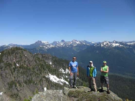
Another picture of Vlad, Al and myself on the summit of Mt. Herman
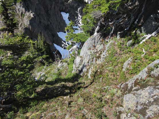
It took us 2.5 hours from car to the summit so there’s plenty of time to kill. I just wanted to go home but the others were keen on bagging the out-of-the-way Slate Mountain. I followed their steps for a while down the west ridge of Mt. Herman while doing some internal convincing and debate but after five minutes I made the call to turn around and slowly work my way down the mountain. I descended the south ridge at a snail’s pace. Instead of retracing the west gully’s route I opted to follow Simon’s return route over the “south shoulder” because this route also appeared to be mostly on snow. There’s a bit of steep snow to traverse to get onto that shoulder/col and the opposite side involved a bit of down-scrambling but soon enough I was back onto snow enjoying a fast plunge down into the valley.
Slowly working my way down the south ridge
Exploring the “south shoulder” route.
Looking back towards the summit

Over the “shoulder” I had to face some immediate down-climbs
Mt. Baker with Table Mountain in front. Both bagged in 2016
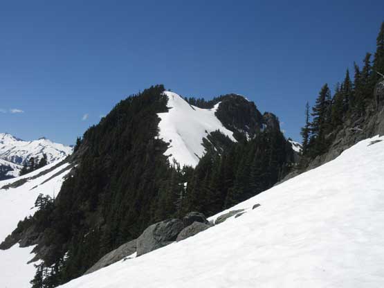
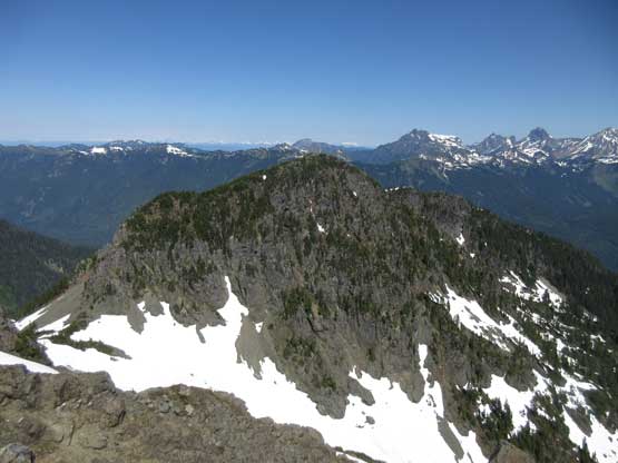
This is Mazama Dome
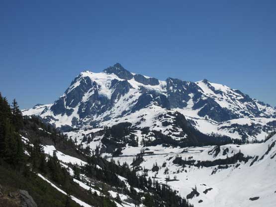
Another view of Mt. Shuksan
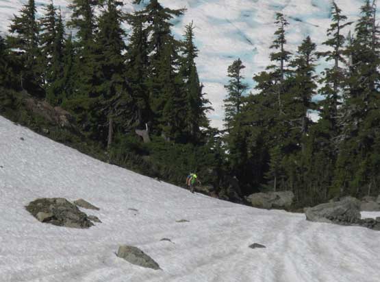
The rest of the hike-out on Bagley Lake trail was easy but there’s occasional deep post-holing on weak spots. I wasn’t surprised and I was actually expecting to break a couple snow bridges. There’s lots of questionable snow bridges over small creeks and it feel creepy to trust them. Once past that famous concrete bridge I had descended into the tourists zone with plenty of inexperienced hiking up on snow wearing flip flops..
Descending into the valley now

Rejoining the trail. There are dry stretches, just not many

Back to that lake below Table Mountain. Had to be careful not slip in
Bagley Lake
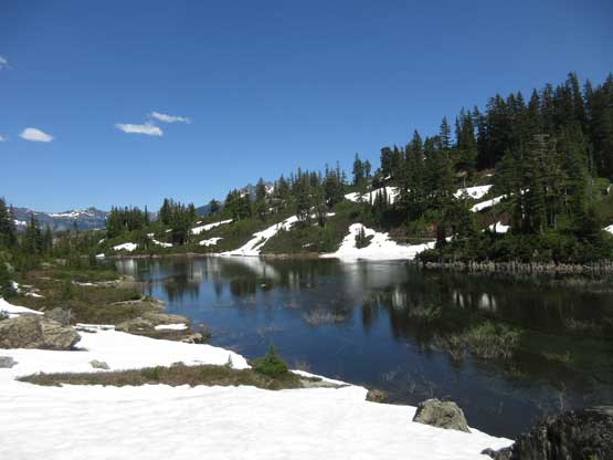
Another angle of Bagley Lake

Yep another shot of Bagley Lake. Lots and lots of tourists here

I really liked the colours of this lake
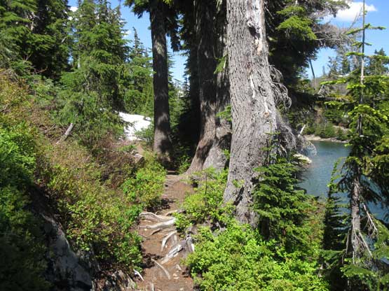
Trail beside the lake. No wonder why tourists like here…
Back to the car I opened all windows to let the air flow. It must have been close to 30 degrees even at the parking lot and I bet it’s cooking in Chilliwack. According to the news in Vancouver today was one of the hottest the Lower Mainland had experienced in this year. Vlad and I Al showed up later and we quickly let the engine go. Driving down Baker Highway was uneventful but then we got ourselves into various traffic delays. First was an hour-long border line-up but I knew the tricks to short-cut into the line but I wouldn’t tell you here. We still waited for 25 minutes there. And then there came another major accident on Highway 1 but thankfully the Waze app knew how to work it around…
